Research and Reference
The staff of the Osher Map Library and Smith Center for Cartographic Education (OML) provides reference assistance, both in person and remotely, to researchers interested in our collections. Our goal is to provide thorough, efficient, and collaborative support to all researchers, whether that be in person, over the phone, or by email.
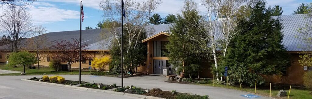
Please note that the OML reading room is open to the public for research visits Tuesdays through Saturdays. We strongly encourage making a research appointment in order for us to best assist your research goals.
Please contact us with questions about research visits. Research appointments are available in two-hour blocks, and reserving your time slot ensures your seat is secure and any materials you have requested are ready upon arrival. We are also able to provide a limited amount of remote reference assistance to those unable to visit in person. For cancellations or inquiries, please email the OML at usm.oml.ref@maine.edu. We look forward to hearing from you.
The OML’s collections can be searched across multiple platforms:
- Search the library catalog
- Search the digital collection on oshermaps.org
- Browse items on Digital Commons
Exhibitions
Bernard and Barbro Osher Gallery
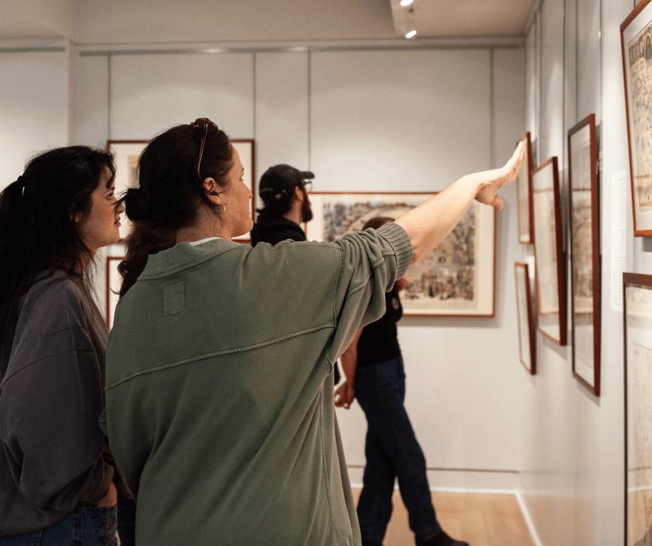
The Osher Map Library and Smith Center for Cartographic Education hosts two-to-three exhibitions per year in the Bernard and Barbro Osher Gallery. These exhibitions feature material from our collections and occasionally items on loan from other institutions. Curators for the exhibitions include OML staff and invited guest curators.
Current Gallery Exhibition
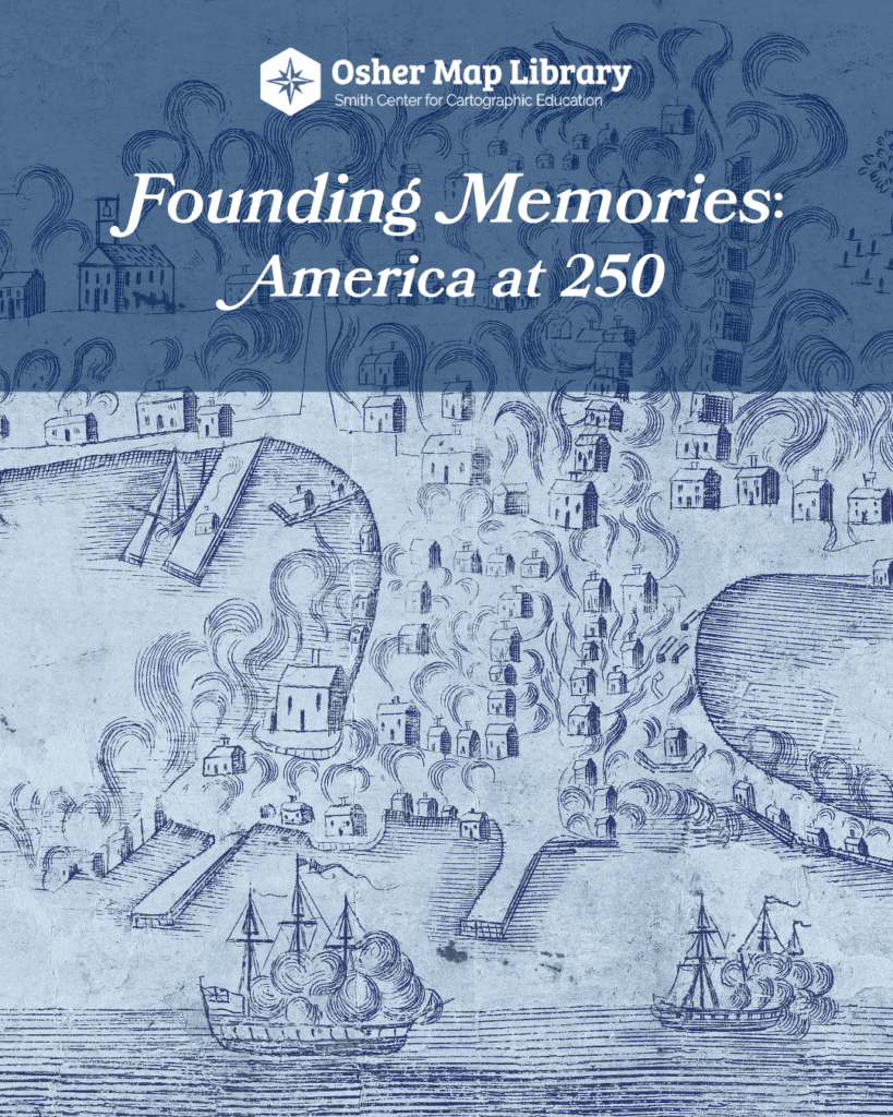
Our current exhibition, Founding Memories: America at 250, will be open through June 2026. You can view the exhibition Tuesday – Saturday when the Library is open to the public. Check out our open hours and plan your visit!
Past Gallery Exhibitions
Many, though not all, of our past gallery exhibitions have digital versions. We are in the process of curating new digital exhibitions and updating these legacy versions. Check back regularly!
Digital Exhibitions and Experiences
In addition to digital versions of past gallery exhibitions, we also host a variety of digital experiences providing more ways to interact with our collections. To interact with these experiences click on the exhibit posters and project links below.
Digital Exhibitions
Additionally, you can view our legacy born digital exhibitions.
American Revolutionary Geographies Online (ARGO)
ARGO is a new project led by the Leventhal Map and Education Center at the Boston Public Library and the George Washington Presidential Library at Mount Vernon. OML is proud to be a partner institution for this project and has contributed over 100 maps to the collection.
Student Projects
We are proud to work closely with students in many disciplines on internships and larger class projects. Click on the links below for featured student projects.
Research Fellowship Opportunities
The Osher Map Library and Smith Center for Cartographic Education at the University of Southern Maine offers fellowships to assist researchers, artists, and educators in accessing our rich and varied collections, which include nearly half a million cartographic items that are global in scope and date back to 1475.
New in 2025, we are pleased to offer annual visiting fellowships in honor of Dr. Harold L. Osher and Mrs. Peggy L. Osher. These short-term visiting fellowships offer fellows the opportunity to visit the library and spend time with the collections.
The Osher Map Library is a proud member of the New England Regional Fellowship Consortium (NERFC), a collaboration of 30 major cultural agencies in New England who award 25+ $5000 research fellowships annually. Fellowship awards are open to U.S. citizens and foreign nationals who hold the necessary U.S. government documents. Grants are designed to encourage projects that draw on the resources of several agencies. For more information on fellowship requirements and to apply for a fellowship (applications due February 1, 2026), please visit the NERFC application website at the Massachusetts Historical Society.
Short-Term Visiting Fellowships (New in 2025)
Dr. Harold L. Osher Visiting Research Fellowship
The Dr. Harold L. Osher Research Fellowships are intended to provide time for research, writing, and thinking about maps and mapping as they relate to advanced research in the humanities, social sciences, and related disciplines. Projects that explore underrepresented narratives in history are especially encouraged. Fellows spend a total of two weeks at the Osher Map Library, immersing themselves in the cartographic and reference collections. They are invited to be active participants in the intellectual life and community of the Osher Map Library and the University of Southern Maine during their stay, including giving a brown-bag lunch talk during their second week on site.
The Short-Term Research Fellowships are open to scholars at any stage of their career. Students must be ABD, and in the dissertation stage of their program, or in the equivalent stage of another terminal academic degree (e.g., MFA).
Applicants selected for the Dr. Harold L. Osher Research Fellowship will be awarded $2,500 for a two-week fellowship to take place on site at the Osher Map Library and Smith Center for Cartographic Education in Portland, Maine. The two weeks do not have to be consecutive but must both take place between December 2025 and December 2026 for the 2025-2026 award cycle.
Fellows receive half of the stipend ($1,250) upon scheduling their fellowship visit/s and the other half ($1,250) upon successful completion of the fellowship and submission of a required 250-500 word report.
HOW TO APPLY
Applicants must fill out the Application Form online.
Applications for the Dr. Harold L. Osher Visiting Research Fellowships are due by Monday, December 1, 2025 (11:59pm EST). Applicants must include how they plan to use the collections and the season(s) they intend to be on site. In addition to the online application form, graduate student applicants must submit one brief letter of recommendation (250-500 words) from an advisor/mentor.
Please note that at this time, unfortunately, we cannot sponsor visas for fellowships.
We will award two Osher Visiting Research Fellowships for the 2025-2026 cycle. All applicants will be notified of their status by January 1, 2026.
Depending on availability and timing of the visits, housing at the University of Southern Maine’s Gorham Campus (in our Visiting Artist House) may be available [at no additional cost to the fellow]. The Gorham Campus is 25 minutes from the Osher Map Library on the Portland Campus, and can be accessed by city bus (every 30 minutes) or by car.
Questions about the Harold L. Osher Research Fellowship program can be directed to Louis Miller, Assistant Director for Research and Fellowship Programs: louis.miller@maine.edu
Peggy L. Osher Visiting Artist Fellowship
Beginning in 2024-2025, the Osher Map Library has hosted a visiting artist for a short-term fellowship established in honor of Peggy L. Osher. These short-term fellowships/residencies at the Osher Map Library (typically two weeks) are designed to further the artist’s visual or performing art through the study of cartography.
Currently visiting artist fellowships are by invitation only, and are offered to artists actively engaged in work with maps and mapping (broadly conceived) as part of their practice. Fellows received a $2500 stipend and assistance with housing while in residence, and generally give a public lecture or workshop as part of their residency. Visual and performing artists interested in being a Peggy L. Osher Visiting Artist at the Osher Map Library should contact our Executive Director, Dr. Libby Bischof, who coordinates this program: elizabeth.bischof@maine.edu
2024-2025 Peggy L. Osher Visiting Artist: Billy Gerard Frank
(painting/film/multimedia)
2025-2026 Peggy L. Osher Visiting Artist: Adrienne Ottenberg (illustration/cartography/textiles)
Elizabeth Shurtleff and Helen McMillin, Highways and Byways of Girl Scouting, 1927.
Caroline Gerber, from Cousins Island, Maine, graduated from Yarmouth High School in June of 2025. She completed a research internship at the Osher Map Library and Smith Center for Cartographic Education during the summer of 2025, and is now a Freshman at Haverford College in Haverford, Pennsylvania. She plans to major in History.
Since the fall of my senior year of high school, I knew I wanted to spend my summer gaining valuable research experience prior to beginning my first year of college. It’s often difficult to find these kinds of internship opportunities before college, so I was absolutely thrilled to be able to work with Dr. Libby Bischof at the Osher Map Library this summer.
Libby, a historian and the Executive Director of the Osher Map Library, has been researching and planning various writing projects about 20th century female pictorial mapmakers for some time, but due to her busy schedule, she needed a hand in finding additional examples of these maps, creating a comprehensive list of the cartographers, and writing short biographies of these women. My internship researching American women pictorial mapmakers from the 1920s-1980s was a continuation of the work of Libby’s research assistant from last summer, Sophia Tuchinsky, who had given me a great starting place. She and Libby had created a spreadsheet with two tabs, one with several columns detailing where certain maps could be found, the titles, who made them, and what year they were published, and another with the alphabetized names of the cartographers and the space to write a short biography.
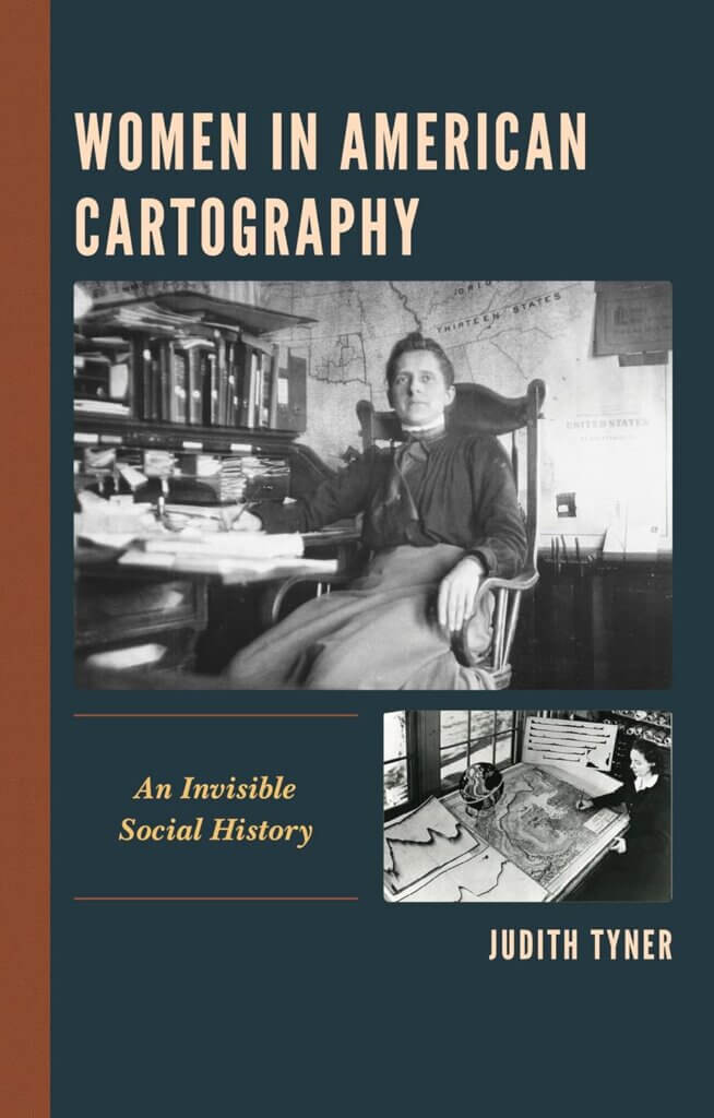
My first step in this project was to read up on pictorial maps. Libby checked out two books from the Osher Map Library for me: Stephen J. Hornsby’s Picturing America: The Golden Age of Pictorial Maps and Judith Tyner’s Women in American Cartography: An Invisible Social History. I thoroughly enjoyed these books as a student with an interest in history, but they also prepared me well for this internship by explaining the background of pictorial maps, including how these maps are defined and why so many women pursued them.
![]()
A pictorial map is a map with illustrations woven into it, usually to detail a particular story or the history of the location depicted. This style of cartography was more accessible to women because pictorial maps didn’t require as much cartographic accuracy as traditional maps, which usually required schooling and additional training, and, as such, was historically restricted to predominantly men. Many women artists and graphic designers also found pictorial mapmaking to be an accessible complement to their existing artistic practices. This was true of Elizabeth Shurtleff from Concord, New Hampshire, who studied at the school of the Museum of Fine Arts in Boston, and then produced a variety of illustrated pictorial maps of New England and beyond in the 1920s-1940s. Pictorial maps weren’t always produced on traditional media such as paper, either. Mary Ellen Crisp (1896-1974), for example, created patterns of maps to be embroidered. Her work was sold in department stores, allowing women who were skilled in domestic crafts to practice a form of cartography. Although only one of her map designs is easily accessible online, as part of David Rumsey’s collection in California, newspapers of the time include illustrations of some of her other embroidered designs, among them, maps of the Pacific and European theaters of World War II.
Finding and tracking down the locations of the actual pictorial maps made by women was relatively easy, albeit time-consuming. I was able to browse digital maps through several online library and map dealer collections, including the Osher Map Library, the Library of Congress Map Division, the David Rumsey Map Collection, Barry Lawrence Ruderman Antique Maps, Geographicus, and Curtis Wright Maps, to name a few. To ensure I wasn’t skipping over anything, I went through each individual map labeled or categorized as “pictorial” in these collections and then determined if the maps in question were created by a woman. Sometimes, I initially believed a map to have been created by a woman cartographer, but several names that are considered to be primarily feminine today were actually used for men in the 20th century, so I ran into a few dead ends.
Although the process of looking through thousands of individual pictorial maps across various online collections took a lot of time, almost two weeks, it yielded more than 150 new names to add to the list of women pictorial mapmakers. To date, we have identified 332 pictorial maps made by 188 different women between 1920-1980.
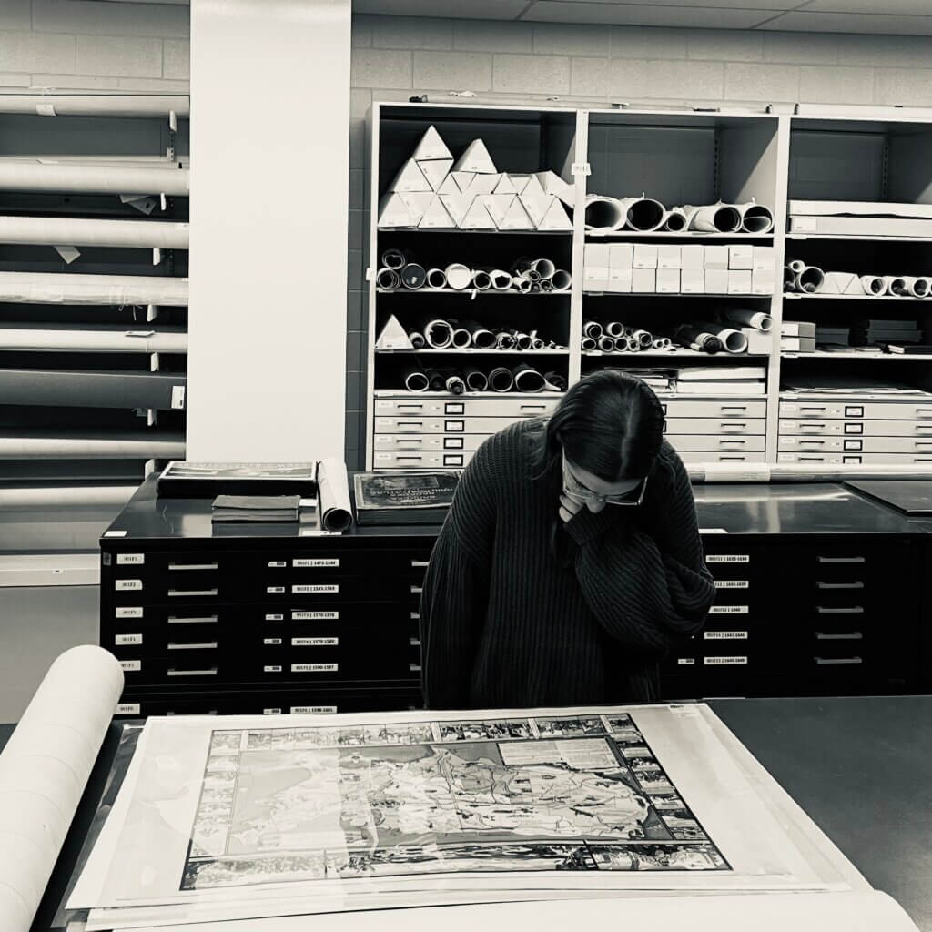
Caroline working in the Osher Map Library & Smith Center for Cartographic Education vault.
The much more difficult part of this project was the biographical research I conducted after I researched and recorded the names of the women cartographers and the titles of their maps. During the 20th century, it wasn’t uncommon to see a map produced by a Mrs. [Husband’s first and last name], such as “Mrs. Walter Henricks.” Most of the time, although it took extra work, I was able to discover the first and last name of the woman behind the map, separate from her husband. Mrs. Walter Henricks was actually named Namée Olivia Henricks (née Price) and lived a highly interesting life, contributing to beautiful pictorial maps. I was able to find the names of these women using websites such as Newspapers.com and Genealogy Bank, which provide digital archives of newspapers, some of which included announcements and articles about the publication and distribution of these pictorial maps, and occasionally additional biographical information about their creators. On these websites, I was able to search by full names and find any related newspaper articles mentioning the women I was researching. It was particularly helpful to come across wedding announcements and obituaries, as they often included important information about the people involved, such as their education and place of birth.
Other useful websites were FamilySearch and Find a Grave, which provide census records and other government documents to piece together and corroborate biographical information found in newspapers, helping me ensure that I was writing about the right person.
Overall, my internship was incredibly valuable, and confirmed that my passion in academia is history. I was fascinated by the lives of all these women, and their ability to create art and teaching materials during war, and during a period where so many of their rights were heavily restricted by society. These women proved that there were more opportunities for them than most people knew. For many of these women, cartography was a passion alongside their jobs as engineers, pilots, artists, and authors. I’m so grateful to have had this experience, and there’s still so much more to learn about these incredible women.
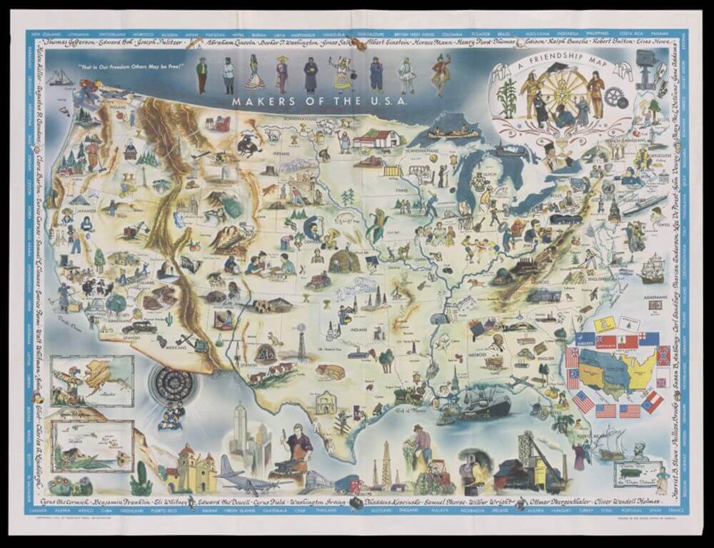
Louise E. Jefferson, Makers of the USA: A Friendship Map, 1957
Guidelines for the Donation of Materials to the Collections
How to Donate to the Collections
Are you interested in donating items to the Osher Map Library and Smith Center for Cartographic Education (OML) collections? The OML gratefully welcomes material gifts to the collections that support the OML’s status as a Special Collections Library at a Public University that emphasizes educational outreach and research. OML is pleased to accept donations of materials that are in good physical condition and that are relevant to the library’s mission, goals, and collecting policies. Please note: at this time we do not accept born-digital materials or digital materials of any kind.
We will gladly discuss your prospective donations with you via email or phone, review donation procedures, and, if appropriate, make arrangements to see the collection or the materials offered in person.
For initial inquiries please contact our Collections Manager by email or phone:
Email: jessica.c.hovey@maine.edu Phone: (207) 780-5295
We respectfully request that prospective donors do not send or bring materials to the OML without prior contact and consultation.
OML’s Mission and Collecting Scope
The nature of our collections are global in scope and OML broadly seeks to acquire cartographic materials from any era.
In order to foster public and educational interest, OML takes as culturally broad a definition of “cartographic materials” as possible. OML collects:
- Maps, charts, atlases, etc.
- Plans and surveys
- Reference books about maps and mapping
- Globes and surveying instruments
- Bird’s-eye views and landscapes
- Prints, Photographs, and Paintings (relevant to place/our collections)
- Ephemera broadly conceived (from postcards to road maps to games, etc.)
Please contact us first about your offer of items, providing relevant information about them as appropriate. Photographs are welcome and helpful to our assessments.
When offering a donation, please include as much background information as possible to assist in establishing provenance.
What to Expect
Gifts are reviewed monthly by the OML Gifts Committee (Members: Collections Manager, Faculty Scholar, Reference and Teaching Librarian, Executive Director). The Committee reviews all potential donations, assesses conditions and fit within the scope of our collections, and then renders a decision to the potential donor/s. In the event that a decision about your donation is time-sensitive, please let us know and we will work to accommodate your request.
After a collection is received, gift paperwork will be completed by OML staff and the donor. A deed of gift form signed by both parties is required to accept the donation. Gifts valued at $500 or more are classified as non-cash charitable contributions and require the completion of an IRS form 8283 by the donor if the donor wishes to claim a tax deduction for the gift. Gifts valued at more than $5000 must have an appraisal in order to claim tax deductions (see IRS information here). Copies of this paperwork will be provided to the donor along with an acknowledgement letter from the Executive Director, and a gift receipt letter with a tax receipt from the University of Southern Maine Foundation.
Gifts to OML are made without restriction and in accordance with the OML Collections Policy. The donor must have clear and legal title to the items. All titles are transferred to OML as part of the gift process, as copyright allows. Gifts with stipulations or restrictions are accepted on a case-by-case basis, and are subject to approval by the OML Gifts Committee.
Appraisals
As a public cultural and collecting institution, OML does not and cannot appraise or assign monetary value to items.
The Maine Arts Commission maintains a list of Maine and Northern New England appraisers and conservators. This list is for reference only, as the OML does not endorse the services of any vendor. Any desired appraisal should take place prior to collection transfer and is the responsibility of the donor.
Charitable Donations
The Osher Map Library and Smith Center for Cartographic Education gratefully accepts charitable donations to support our mission. Charitable donations can be made through the University of Southern Maine Foundation (USMF), the 501c3 fundraising arm of the University of Southern Maine.
Lewiston-Auburn Education & Community Map Lab
Location:
University of Southern Maine – Lewiston Auburn Campus
51 Westminster St.
Lewiston, Maine
Free Field Trip Themes:
- Fun with Maps
- Maine Geography
- Maine History
- Wabanaki Place Names in Maine
- United States Geography
- United States History
- World Geography & Landforms
- Worldview in Maps Since 1500
- Mills of Androscoggin
- Mapmaking Workshop
FAQs
Q. How many students can I bring?
A. Mondays through Thursdays, we can accommodate up to two classes of ~20 students each (40 total). On Fridays, we can accommodate up to three classes of ~20 students each (60 total).
Q. How long are field trips?
A. Depending on theme, field trips are typically 75-90 minutes long.
Q. Are the field trips really free?
A. Yes! We do not charge for our educational programs.
Q. How early can we schedule a field trip for?
A. We are able to start a field trip at 10:00 on most weekdays.
To learn more, reach out to Renee Keul at renee.keul@maine.edu.
Book a Field Trip at the Map Lab:
Option One: See availability and book a field trip.
(Please note that your field trip is not confirmed until you’ve heard from us by email, which should occur within 24-72 hours after booking.)
Option Two: Request Form
By Evan Boxer-Cook, 2025 Summer intern at the Osher Map Library.
Evan is a student of Classical & Medieval Studies at Bates College, with a career focus on the history of science and the study of scientific instruments. At the OML, Evan’s research focuses on previously uncatalogued instruments, including demonstrational models such as the Trippensee Planetarium.
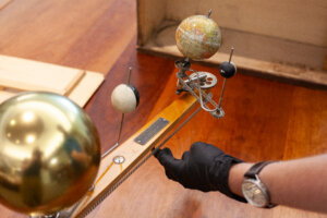
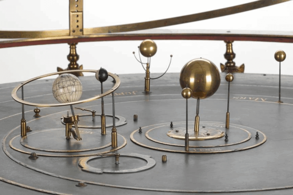
The Osher Map Library’s Trippensee Planetarium stands on a ridged brass base containing ringed labels for the calendar months, signs of the zodiac, and seasons. Above this is mounted a wooden maple structure supporting the Sun, Venus, Earth, and Moon, along with the gears and chains regulating their motions. Both Venus and the Moon are simple wooden spheres painted half black, half white in order to demonstrate the progression of their phases as seen from Earth. Earth itself is plastered with elaborately detailed and colored gores, with a simple cartouche reading “The Trippensee Mfg. Co., Detroit, Mich.” From the underside of the orrery’s arm protrudes a metal handle which is used to rotate the arm and thus set the entirety of the model in motion through its various chain drives.
While the bodies that make up the model presented by the Trippensee Planetarium in the collections of the Osher Map Library are fairly intuitive and agreed upon in their identities, far less black-and-white is the classification of the model itself. It has been described as a planetarium by its makers, an orrery by some historians, and a tellurion by others still. What distinguishes each of these instruments? Which term best describes the Trippensee Planetarium? And, where has the confusion come from?
Origins of “Orrery”
In order to navigate this tangled terminology, we must begin in 1712 with the origin of the term “orrery.” 1712 marked the completion of a commission of an astronomical model that London instrument maker John Rowley was tasked to construct. This model, now in The London Science Museum’s Linbury Gallery, features a central brass sun with gearing designed to drive the motion of the Earth and Moon around it. The man who commissioned it was Charles Boyle, the fourth Earl of Orrery in Ireland. It was at the suggestion of the essayist Sir Richard Steele that the device itself was termed an “orrery,” in honor of Rowley’s patron.
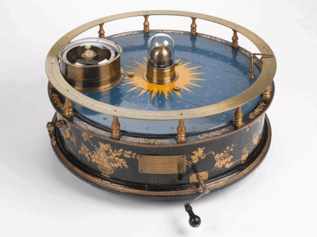
Science Museum Group. Orrery made by John Rowley for the Earl of Orrery. 1952-73 Science Museum Group Collection Online. Accessed 12 June 2025. https://collection.sciencemuseumgroup.org.uk/objects/co56970/orrery-made-by-john-rowley-for-the-earl-of-orrery
Under these circumstances, it should presumably be the case that this orrery, the first instrument to go by the classification of orrery, should be without ambiguity agreed to be an orrery. This is not the case. In fact, several historians–even the museum currently holding Rowley’s instrument–caveat that it would more accurately be termed a tellurion. At the core of this matter is the fact that the definitions of the orrery and other planetary models have drifted over the centuries.
Under its definition as established by John Rowley’s work, an orrery models the Sun-Earth-Moon system, with gearing that allows the Earth to rotate around its axis, a moon to orbit the earth, and the Earth-Moon system to orbit the Sun. Emphasis is placed on the tilt of Earth’s axis, with its 23.5 degree inclination remaining consistently oriented as the Earth travels through its orbit. A similar instrument that excludes the moon, focusing its presentation on the features of the Earth’s motion, is known as a tellurion (derived from the Latin tellus, meaning earth). Alternatively, a model that excludes the Earth while presenting the moon in a higher level of detail and priority is, in technical terms, a lunarium.
A planetarium, by its period definition, is an instrument that models the solar system from a broader perspective: a planetarium includes multiple planets (often at minimum the six Copernican planets: Mercury, Venus, Earth, Mars, Jupiter, and Saturn) traveling around the sun at their relative orbital speeds, though without gearing to represent the rotation of planets or the orbital motion of their moons. When planetary rotation and lunar motion are introduced into the construction of a planetarium–essentially supplementing its function with that of an orrery–the model that results is known as a grand orrery.
Science Museum Group. George II’s Grand Orrery. 1927-1659 Science Museum Group Collection Online. Accessed 12 June 2025. https://collection.sciencemuseumgroup.org.uk/objects/co1522/george-iis-grand-orrery.
Given these shifting definitions, what, then, is the Trippensee Planetarium? Somewhat counterintuitively, the designation of “planetarium” is one of the easiest to rule out due to the intricately geared Earth and Moon system. Such a scope is much finer than the broad planetary orbits planetariums are primarily concerned with.
It is the definition of tellurion that presents the main point of contention and the beginning of a cascade of definition drift. In its modern usage, tellurion tends to describe representationally geared Sun-Earth-Moon models, despite this being the original territory of the orrery. In turn, the term orrery has come to describe what would historically be called a planetarium. Today, “planetarium” is primarily used to describe domed projection centers, capable of simulating the night sky for a given location (or as many will know them for, projecting elaborate, prerecorded educational routines). In this modern understanding of these terms, then, the designation of tellurion most comfortably fits the Trippensee Planetarium. Following the historic precedent set by Rowley’s model, however, it is an orrery. Ultimately, this disconnect comes down to the question of descriptivism vs. prescriptivism. There are those who look at Rowley’s 1712 model and see an orrery, and there are those who see a tellurion. If Rowley’s orrery is understood as the defining template of what an orrery ought to be, then the Trippensee Manufacturing Company produced an orrery. If the colloquial language developed over three centuries is to be held as authoritative, then they produced a tellurion.
With this historical context and binary in mind, the question then becomes: why did the Trippensee Manufacturing Company market their product as a planetarium?
To answer this question we must once again investigate the maker of a planetary model, this one just over 150 years after Rowley’s orrery. In 1866, United States clerk Alfred Andrews founded the A.H. Andrews Company which came to be highly regarded for its production of furniture and school supplies, along with a great variety of terrestrial globes. In the 1880s, Andrews produced the MacVicar tellurion Globe–a tellurion under the historical definition. This model featured a suggestion of the sun, but wholly emphasized the earth and its movements with no moon to be seen. Soon after came the Lunar tellurion Globe, illustrated below, with a uniquely partial representation of the sun, a spike to identify the subsolar point, and a somewhat paradoxical name.
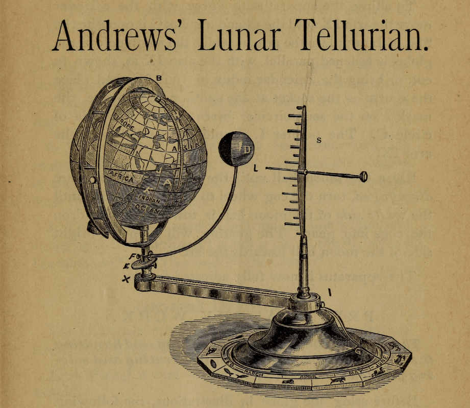
Gross, Howard H. Teachers’ manual for Andrews’ lunar tellurion. Chicago, A. H. Andrews & co, 1881. Pdf. https://www.loc.gov/item/05002134/.
One would think that a tellurion with a moon is simply an orrery, though Andrews’ model blurs this line. Here we arrive at a somewhat inevitable explanation for the trend toward inconsistent naming, that being the hand of marketability, especially for classroom use. By 1880, Andrews’ MacVicar tellurion Globe had already begun to establish itself as an invaluable classroom aid. Thus, naming his next product the “Lunar tellurion Globe” marks it as a successor and, most importantly, an improvement. Labeling the new product the equivalent of “tellurion: now with moon!”–makes far more sense from a business perspective than using the entirely new and potentially unfamiliar term of orrery. Particularly in the late-nineteenth century post-industrial revolution world, when instruments such as orreries were being produced by companies and factories as opposed to masters or guildsmen, pre-existing mechanical templates and naming conventions yielded to the demands of the market. Under these circumstances, precedent and individual preference dictated terminology, with instruments becoming increasingly detached from the historical taxonomies that could be used to describe them.
The effect of these market factors in diverting convention from the historical can be seen in full force when examining the history of the Trippensee Planetarium itself. With terminology and precedent determined, let us now examine the intersecting lives and the resulting businesses that led to the creation of a timeless product still available today–The Trippensee Planetarium.
The Trippensee Manufacturing Company
In order to trace the story of the Trippensee Planetarium, we must first begin with the Trippensee family. In 1849, a man named William F. Trippensee immigrated from Germany to New York where he first established himself as a farmer before marrying Ruffina Teachout, a native of New York. The two went on to have eight children: Albert W., Frank J., William F., Frederick F., Rena, Herbert O., Reuben, and a woman recorded only in relation to her husband, George Reynolds.
After relocating to Michigan and ultimately settling in Saginaw county, brothers Albert and Frank Trippensee both entered the wagon-making trade, their paths diverging as they took up employment in a variety of workshops throughout the 1890s. Frank immersed himself in the craft, working for W.A. Patterson & Company, Durant-Dort Road Cart Company, Flint Wagon Works, and the C. R. Wilson Body Company in Detroit. Meanwhile, Albert ascended the corporate ladder, developing a taste for entrepreneurship that took him beyond the trades. Having impressed his employers at the wagon-making shop of W. F. Stewart and again at subsequent posts, he was promoted time and time again, eventually entering the business sector for himself.
In 1896, while the Trippensee brothers accumulated experience in their respective ventures, just across the Canadian border Alexander Laing of Essex filed both U.S. and Canadian patents for an intricate mechanism that soon became popular in schools across the United States: a string and pulley driven orrery (seen here). The unit included a Sun-Earth-Moon model (plus Venus), that when manually cranked demonstrated the relative motions of each included body. The model was first and foremost an educational tool marketed for the classroom, and, as such, was reasonably priced. Notably, for Laing’s model, in a manner that followed in the footsteps of Rowley, the Moon and Venus were painted half white, half black, and geared to demonstrate their phases as seen from earth.
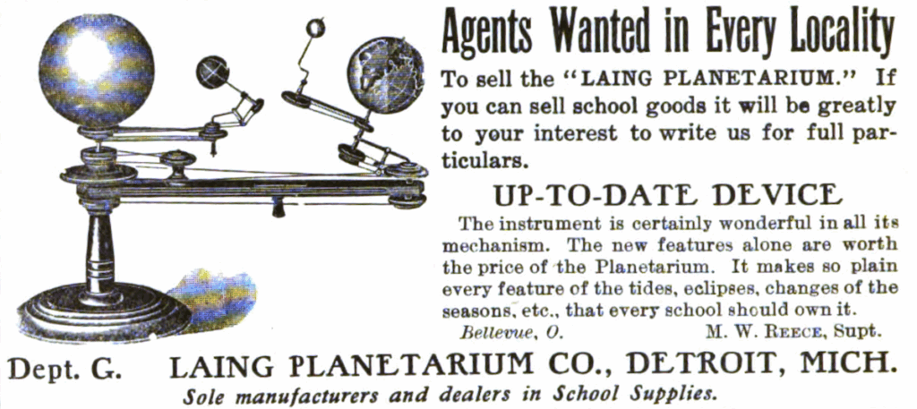
The School Journal. United States: E.L. Kellogg & Company, 1904.
https://www.google.com/books/edition/The_School_Journal/n6hLAAAAYAAJ?hl=en&gbpv=0
Laing’s Planetarium was highly regarded by its target demographic, with educators praising the model in the review sections of school supply catalogues and educational journals. For example in a 1900 review one educator noted:
Laing’s Planetarium is a most admirably contrived instrument for illustrating the various motions and problems which present themselves in connection with the study of mathematical geography and elementary astronomy. It recommends itself at first sight by the simplicity of its mechanism. An instructor using it does not need to talk; the instrument speaks for itself. No progressing teacher of geography can afford to be without such a device. It is of use equally in the elementary and in higher schools. It assists in making clear all sorts of difficult problems relating to Diurnal Motion, the Ecliptic, Equinoxes and Solstices, Seasons, Zones, Circle of Illumination, Apogee, and Perigee, etc.
Although described in The School Journal as an orrery, Laing marketed his product as a planetarium: the specialty of the newly founded Laing Planetarium Company, which he later moved to Detroit. We don’t know why Laing decided to call his product a planetarium. Whether stemming from a lacking awareness of technical terms or an intentional preference for a term perceived to hold more public stock than “orrery,” Laing’s choice forever shaped the legacy of his product and, by extension, the vocabularies of generations of children, and their teachers.
By 1905, with automobiles beginning to displace his trade of wooden carriage manufacturing, we find Frank J. Trippensee is still in Michigan, working for the Laing Planetarium Company. The company was struggling financially during this period, with two years of unpaid taxes resulting in the company’s original charter falling void. Having notified his brothers Albert W. and William F. Trippensee of this financial instability and the opportunity it presented, the Trippensees bought out Laing, reconfiguring the business into the Trippensee Manufacturing Company. The three brothers each took on a leadership role, settling on William F. Trippensee as President, Albert W. Trippensee as Vice President, and Frank J. Trippensee as Secretary and Treasurer of their new enterprise.
Between 1905 and 1908, the Trippensee Manufacturing Company sold rebranded Laing planetariums, still making use of his original string and pulley design. Seeing as though the Laing Planetarium had already become ensconced within the U.S. market, these units retained continuity and were thus branded as “Trippensee Planetariums.” In 1907, Frank filed a patent that brought an innovative identity to the new company. The next year, the patent was approved and his innovation was instituted in a new model, where the strings and pulleys that drove the Laing Planetarium were replaced with a chain-and-gear system that was simpler to manufacture, easier to maintain, and much more durable.
Alongside this reconfigured planetarium design, the Trippensee Manufacturing Company extended its range to the production of automobile bodies (1907), the logical progression of the carriage bodies that Frank and Albert had spent their early careers working on. This aspect of the Trippensees’ business experienced great success, and the three brothers decided to sell the planetarium side of their business to their younger siblings. In 1920, the Trippensee Planetarium Company was officially formed and separated from the Trippensee Manufacturing Company. This change in leadership is visible in planetarium models produced after 1920, which feature oval “Trippensee Planetarium Company” labels in place of rectangular “Trippensee Manufacturing Company” ones. By 1922, the Trippensee Manufacturing Company had reconfigured to focus exclusively on the manufacture of automobile bodies. One year later, it merged with the Everett Brothers Company, rebranding as the Trippensee Closed Body Corporation with Frank J. Trippensee as President.
Under new management, the Trippensee Planetarium Company painted the maple components of its units black starting in 1925. By 1929, two versions of the planetarium were sold: one hand-cranked and one electric. In the decades that followed, the wood and brass components of the planetariums were gradually replaced with bakelite or plastic.

Science Museum Group. Orrery planetary model by the Trippensee Planetarium Company, 1968-9. 1969-464 Science Museum Group Collection Online. Accessed 12 June 2025. https://collection.sciencemuseumgroup.org.uk/objects/co57045/orrery-planetary-model-by-the-trippensee-planetarium-company-1968-9.
In 1999, the Trippensee Planetarium Company was bought by Science First, a company which continues to produce the plastic Trippensee Planetarium to this day in both hand-cranked and electric versions.
Today, many recall the Trippensee planetariums of their childhood classrooms. In an era before video demonstrations and digital simulations of the solar system, such physical models were indispensable in K-12 and University classrooms and, according to reviews, helped communicate the intricacies of celestial motion and related concepts that would otherwise require months of textual study.
With particular mind to the vast quantities of former students who fondly remember the planetariums from their youth, the sense of labeling this terminology as incorrect should be considered. Certainly, Laing’s decision to call his orrery a planetarium contributed to the slippage of terms evident in today’s cultural lexicon, but so too did the term “orrery” arbitrarily replace the terminology that preceded it in 1712. It could be argued that there is hypocrisy in defining Rowley’s orrery as an orrery but not defining the Trippensee Planetarium as a planetarium.
The question of “what is the Trippensee Planetarium?” brings to attention the difficulties that plague attempts to codify the seams of classification. Considering the fact that today’s museums continue to operate under an inconsistent naming scheme for planetary models, a clean answer cannot be given. However, as previously outlined, the two most common camps are those that follow–the first being more historically based and the second more evidently colloquial:
Orrery: The Trippensee Planetarium is an orrery, as established by John Rowley’s 1712 instrument. An orrery includes a detailed Sun-Earth-Moon model, with gearing to represent the axial tilt, rotations, orbits, and relative speeds of its included bodies. It follows that removing the moon would result in a tellurion, and adding a fuller spread of geared planets and moons would result in a grand orrery. The modern dome-projection planetarium is not particularly distinguished within this vocabulary, with context instead dictating which type of planetarium is being referred to.
Tellurion: The Trippensee Planetarium is a tellurion–an instrument that models the Sun-Earth-Moon system (though the moon does not necessarily have to be included) with particular emphasis on the dynamics of Earth’s tilted axis. It is distinct from an orrery, which models a wider array of planets at their relative speeds. A grand orrery advances the orrery mechanically (often at a larger scale), including additional gearing to represent the intricate rotations of the plants and their moons. The term “planetarium” distinctly refers to dome-projection centers.
While these two stances tend to be the most common, there exist still other schemes more or less nuanced in their designations and definitions. While a satisfying and conclusive scheme of terminology may not be available, the context gathered thus far allows indexed pieces and collections to be understood within their own terms. Often when one looks too closely at the boundaries of instrument classification, a sort of coastline paradox results. Sometimes, against the instinct toward intricate, technically accurate typologies, classification remains a matter of precedent–precedent shaped by cultural vocabularies and the individual preferences of institutions.
Returning to the Osher Map Library’s Trippensee Planetarium reveals a number of key details: Not mentioned up until now is the fact that this Trippensee Planetarium is accompanied by its original box, which contains a telling label reading “Trippensee Planetarium Co.” Taken alone, this might simply indicate that the unit was produced after 1920 when manufacture migrated away from the original Trippensee Manufacturing Company, however this cannot be the case. The unit itself carries a rectangular label reading “Trippensee Manufacturing Co.” Together, these details reveal two key pieces of information. Because this model is branded with the original company name (and made from plain maple–not yet painted black), its manufacture could theoretically be dated to any year between 1908 and 1920. That is, between the implementation of Frank Trippensee’s patent and the separation of the Trippensee Planetarium company. However, due to the discrepancy between the company name on the unit itself and its box’s label, it is evident that this unit was sold during a transitional period where the boxes had been updated to reflect the new manufacturer while some older stock remained, still labeled “Trippensee Manufacturing Co.” This places the unit’s sale soon after 1920, assuming the Trippensee Planetarium Company prioritised sending out its existing stock. Due to the unlikelihood of an unboxed Trippensee Planetarium remaining unsold for an extended period, I speculate that this unit was one of the last produced prior to the company’s reorganization. It was likely manufactured in the years preceding 1920, allowing it to be built under the Trippensee Manufacturing Company but boxed and sold under the Trippensee Planetarium Company.
Footnotes:
1. Although he has been occasionally credited with the invention of the orrery, Rowley himself acknowledges (in a plaque on his instrument) that George Graham’s 1700 design predated his own.
2. There is an argument to be made that is not considered at length here, but is worth mentioning for the additional perspective it provides. There are those who consider the term orrery to be entirely void as a term of classification, considering its use comparable to modern genericide (when a brand name becomes so widely known that its name replaces the generic term within a cultural lexicon; think Google(ing), Post-Its, Xerox, etc.). Prior to Rowley’s orrery, similar models were called tellurions or planeteria.
References:
Barry J. Sobel, “The Story of the Orrery and the Trippensee Company,” Rittenhouse 15 (2001): 83-92.
Burton, Clarence Monroe., Stocking, William., Miller, Gordon K.. The City of Detroit, Michigan, 1701-1922. United States: S.J. Clarke Publishing Company, 1922. https://www.google.com/books/edition/The_City_of_Detroit_Michigan_1701_1922/YFbuhQ39UNsC?hl=en&gbpv=1&dq=Trippensee+company+Planetarium&pg=PA1130&printsec=frontcover
Burton, Clarence Monroe, Miller, Gordon K., Stocking, William. The City of Detroit: Volume 1. United States: S. J. Clarke publishing Company, 1922.
Buick, Tony. Orreries, Clocks, and London Society: The Evolution of Astronomical Instruments and Their Makers. Germany: Springer International Publishing, 2020.
Buick, Tony. Orrery: A Story of Mechanical Solar Systems, Clocks, and English Nobility. United States: Springer New York, 2013.
https://www.google.com/books/edition/Orrery/lU24AQAAQBAJ?hl=en&gbpv=0
Gross, Howard H. Teachers’ manual for Andrews’ lunar tellurion. Chicago, A. H. Andrews & co, 1881. Pdf. https://www.loc.gov/item/05002134/.
Index to School Science and Mathematics: Volume 29. Mount Morris: The Central Association of Science and Mathematics Teachers, 1929.
H. Kellogg, ed. Index to Good Health: Volume 38. Battle Creek: Good Health Publishing Company, 1903.
Kyle, “Trippensee tellurion/planetarium: A collectors guide,” Collecting Antique and Vintage Globes (blog), March 15, 2018. https://antiqueglobes.blogspot.com/2018/03/trippensee-tellurion-planetarium.html
Official Gazette of the United States Patent Office, Volume 78. United States: The Office, 1897.
Science Museum Group. George II’s Grand Orrery. 1927-1659 Science Museum Group Collection Online. Accessed 12 June 2025. https://collection.sciencemuseumgroup.org.uk/objects/co1522/george-iis-grand-orrery.
Science Museum Group. Orrery made by John Rowley for the Earl of Orrery. 1952-73 Science Museum Group Collection Online. Accessed 12 June 2025. https://collection.sciencemuseumgroup.org.uk/objects/co56970/orrery-made-by-john-rowley-for-the-earl-of-orrery.
Science Museum Group. Orrery planetary model by the Trippensee Planetarium Company, 1968-9. 1969-464 Science Museum Group Collection Online. Accessed 12 June 2025. https://collection.sciencemuseumgroup.org.uk/objects/co57045/orrery-planetary-model-by-the-trippensee-planetarium-company-1968-9.
Smythe, R. M. Obsolete American Securities and Corporations, Illustrated with Photographs of Important Repudiated Bonds. New York: R. M. Smythe, Room 452, Produce Exchange, 1911.
The School Journal, Volume 60 (1900): 16.
By Jessica Hovey, Collections Manager at the Osher Map Library.
The end of summer is in sight, and with it comes the inevitable reflection of “Where did the time go…and what did I do with it?” Managing the collections at OML is a year-round gig, and during the break from our busy teaching schedule, much of my summer in the office was mostly spent catching up on a backlog of collections processing and budget planning. Don’t you worry, I know that this isn’t the sort of thing that makes for good storytelling, so instead I would love to share a fun (and nerdy) highlight from earlier in the season. In June I had the pleasure of attending the Rare Book School course Paper as Bibliographic Evidence at the University of Michigan in Ann Arbor. Within our collections, one can find a richly curated selection of maps, globes, atlases, and rare books dating from the 15th century to the present. Many of the items in our collections are paper-based, and this course presented a wonderful opportunity to better understand the elements of paper and its composition, which directly informs our assessments for the long-term care and preservation of the materials in our collections.
The course structure at RBS is a rigorous, week-long exploration into the composition of the book and book history through lectures, hands-on analysis of rare books, and sometimes workshops that explore the processes of making. The program has been lovingly described as “summer camp for book nerds,” and RBS has cultivated a unique community experience that attracts a variety of folks from different bookish backgrounds like conservation and collections care professionals, curators, dealers, educators, library professionals, and students. What each person often has in common is an interest in and love for the book. Rare Book School is based in Charlottesville at the University of Virginia, but hosts courses at a small selection of institutional partners in the U.S. and abroad. Paper as Bibliographic Evidence was the first RBS course to be held in Ann Arbor, and there is potential for the program to grow there.
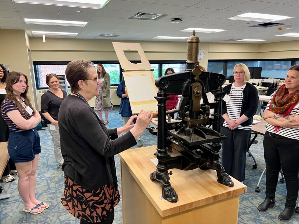
The course was taught by Cathleen Baker, whose expertise from over 50 years in paper conservation, publishing, and research are indelible gifts to share with anyone who is willing to learn. She is an engaging person who has dedicated much of her lifetime to understanding the materiality of paper and how it is made through her own experimentation and research. Most of the week was spent with my 13 classmates learning about paper structure, reviewing the historic processes of papermaking in Europe and North America (handmade and machine-made), and looking closely at a variety of papers to identify their structure and means of production. We were provided with several selections of rare books from the Hatcher Library Special Collections to analyze during class sessions. Notably, the 1820 Lavoisne atlas caught my attention because we have one in our collections, and it is one of the first books in the United States to advertise that it was printed on machine made paper.
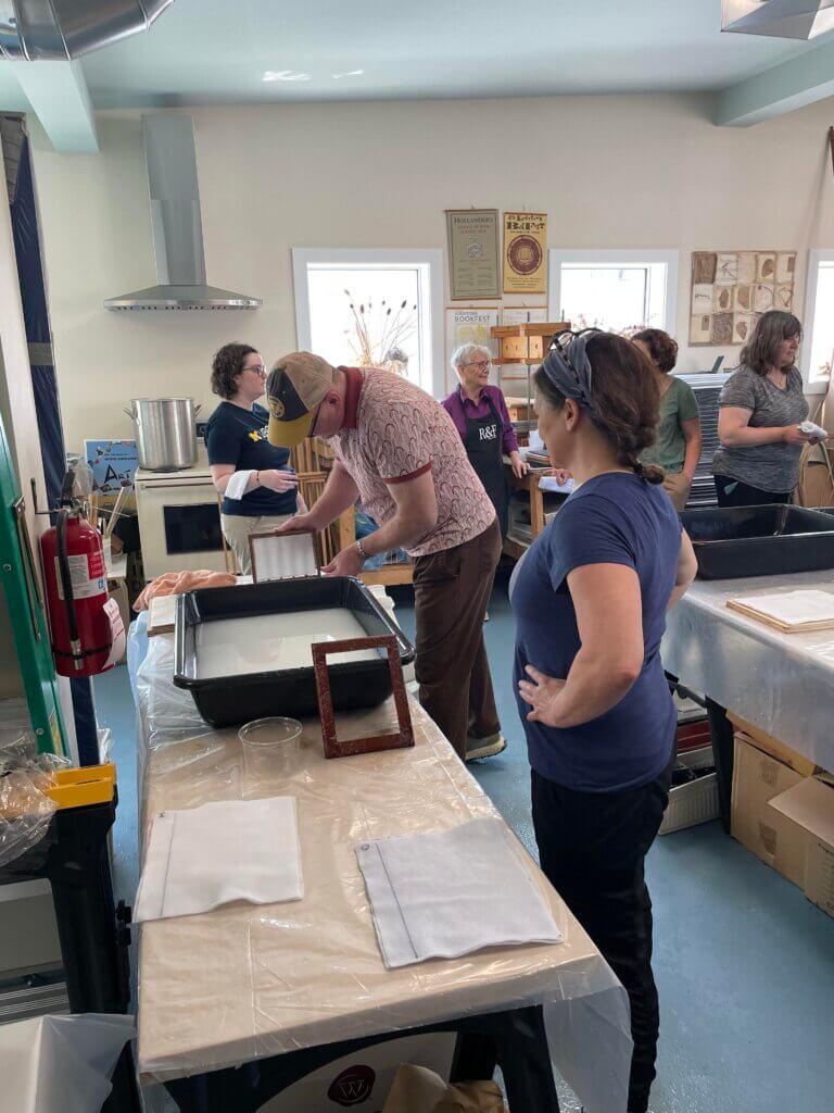
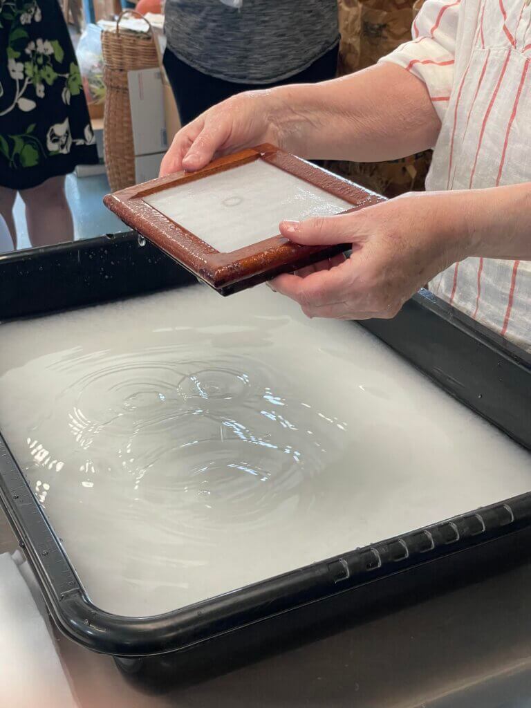
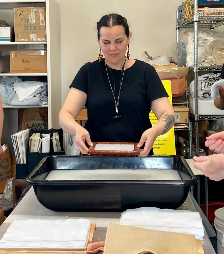
During the week, we also had the opportunity to make our own paper at Out of Hand Papermaking Studio (OOHPS), where artist and papermaker Karen O’Neal (purple shirt) generously shared her time and her studio space with us. Paper is still made by hand today, though not at the volume that it was prior to the popularization of the fourdrinier and cylinder machines in the 19th century (the last industrial handmade paper mill in the U.S. closed in the early 20th century). The quality of handmade paper is best exhibited through its tactility, and depending on the makeup of the pulp and the sizing agent used, the resulting leaves can be sumptuously soft and pliable even centuries after its making. Today, handmade papers are typically used for artists’ papers or for a limited run of specialized publications at press. In Karen’s studio, each of us made at least three sheets of handmade paper. Cathy and Karen prepared the pulp for us from unsized cotton fiber and cotton linters, and we were able to successfully dip, pull, couch, press, and dry small leaves on our own. Going through the actions of papermaking really hit home not only the logical steps of making papers by hand, but also the skill needed to do so at a high production rate.
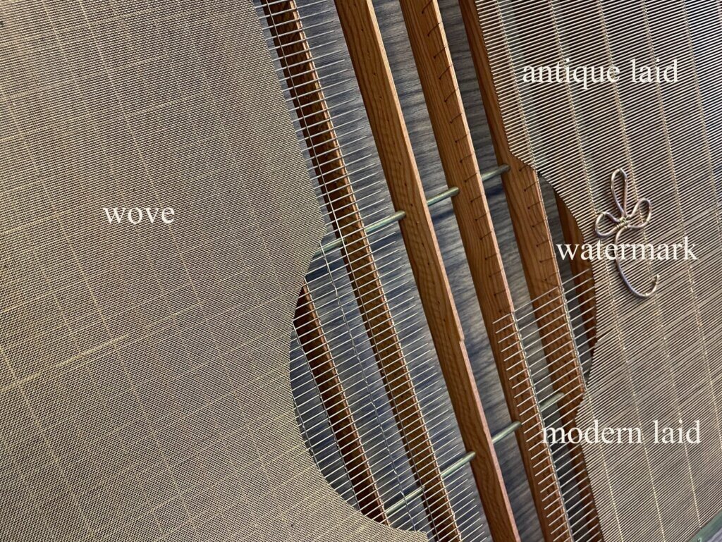
For those of you who are unfamiliar with how paper is made, handmade papers are created using a handmould, which is a form composed of a mould with a screen (base) and deckle (frame) that fits over the screen to catch the pulp. Cathy presented the class with a helpful example of a custom handmould constructed by papermaker and fine craftsman Timothy Moore to show the development of the weave of the handmould screen from antique laid, to modern laid, to wove–each screen capable of producing a more refined paper consistency than the last.
Paper is formed on the screen by dipping the mould into a slurry of pulp and is lifted to let the excess water drain out of the screen. The pulp is then transferred to felt (couched) to set, and is air or heat dried after the excess moisture is pressed out.
What can you see within the page? Patterns form where the pulp settles, which can be made more visible by viewing the leaf or page with a light source, either with transmitted light shone through the verso or raking light shone over the surface. Distinctive rib shadows can be seen running perpendicular to the laid lines. These are created by the capillary action or suction of water leaving the frame and depositing a concentration of fiber on top of the screen where it intersects with the rib supports on the bottom of the mould. You often see the chain lines running up the center of the rib shadows parallel to the short side of the frame, and these are impressions from the wires that tie the individual laid wires. Sometimes you can also see what are called “papermakers tears,” which are circular depressions in the pulp made by errant drips from the handmould.
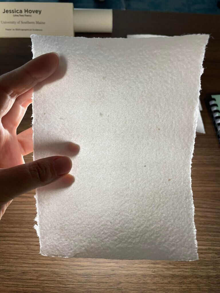
Identifying papers by analyzing their physical features is a nuanced practice, and not without its complications. Some of the features of handmade papers can appear in machine made papers, such as chain lines, watermarks, and laid lines. Imitation handmade papers can be particularly difficult to identify, and were in high demand during the Arts and Crafts movement in the late 19th and early 20th centuries. Other factors can make it difficult to discern how a paper was made, like how it was sized and finished, as sizing can affect the texture and longevity of the paper and the finishing process can smooth the surface of the paper and remove a lot of its surface structure. These considerations (and others) aside, the ability to identify certain characteristics that present themselves in the structure of hand and machine made papers is a skill worth learning in that it can provide more insight into the overall constitution of archival materials.
This is the second RBS course I have taken, and at the end of the week I found myself enchanted by that old book school magic. Leaving behind such a wonderful gathering of intelligent, kind, and curious people who live and breathe these subjects is bittersweet. We take with us a greater understanding and appreciation for the secrets that are hidden within the page, and the power to share that knowledge with others who are interested in learning. Let me end by saying that if you ever want to talk paper, my door is open.
Entries for 2025 Mapmaking Contest
All Entries
If you want to see the original scans (high res), click here.
Sorted by first name:
Tay Tay Town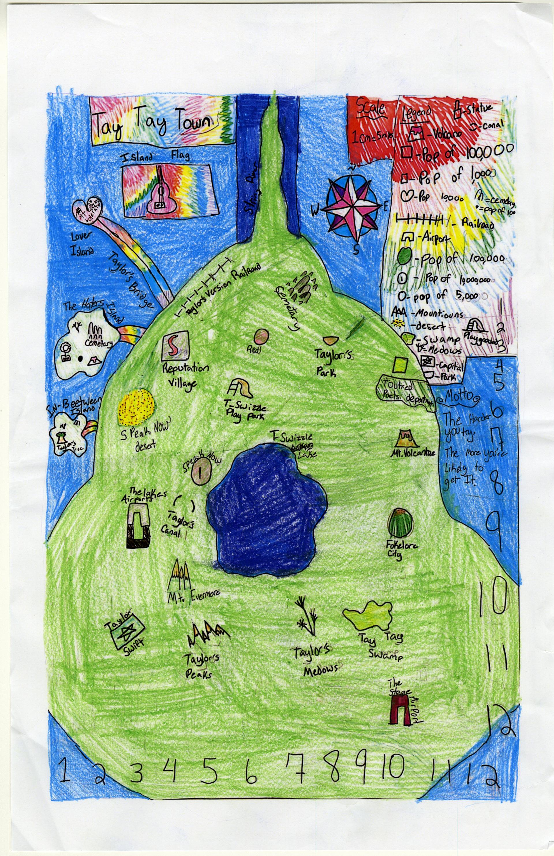
Addison B. of Yarmouth
Yarmouth Elementary – 5th Grade.
See larger at https://oshermaps.org/wp-content/uploads/2025/05/25.046.jpg
Pizza Island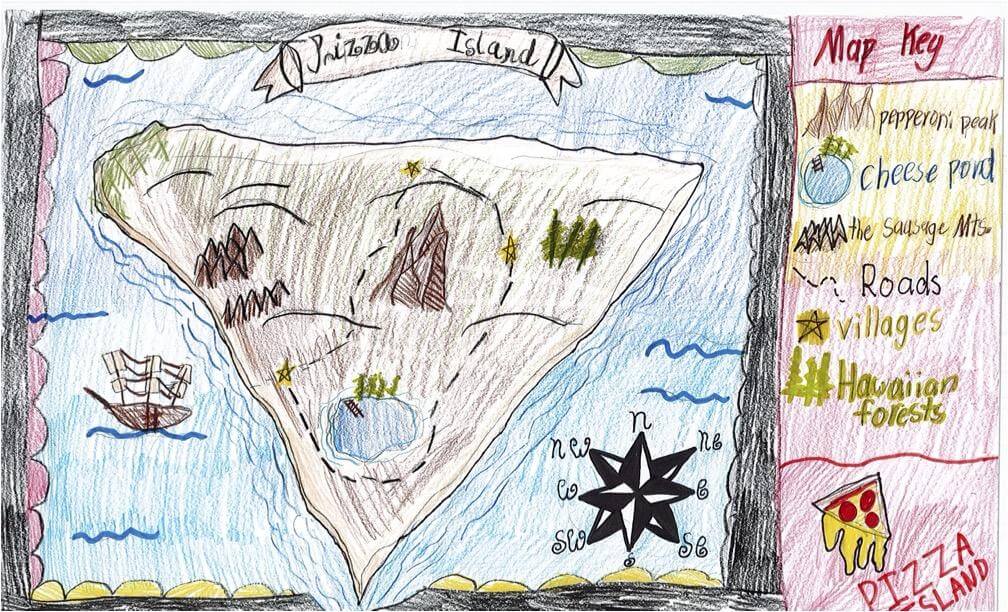
Addy C. of South Berwick
Marshwood Great Works – 4th Grade.
See larger at https://oshermaps.org/wp-content/uploads/2025/05/25.256.jpg
Enchanted Kingdom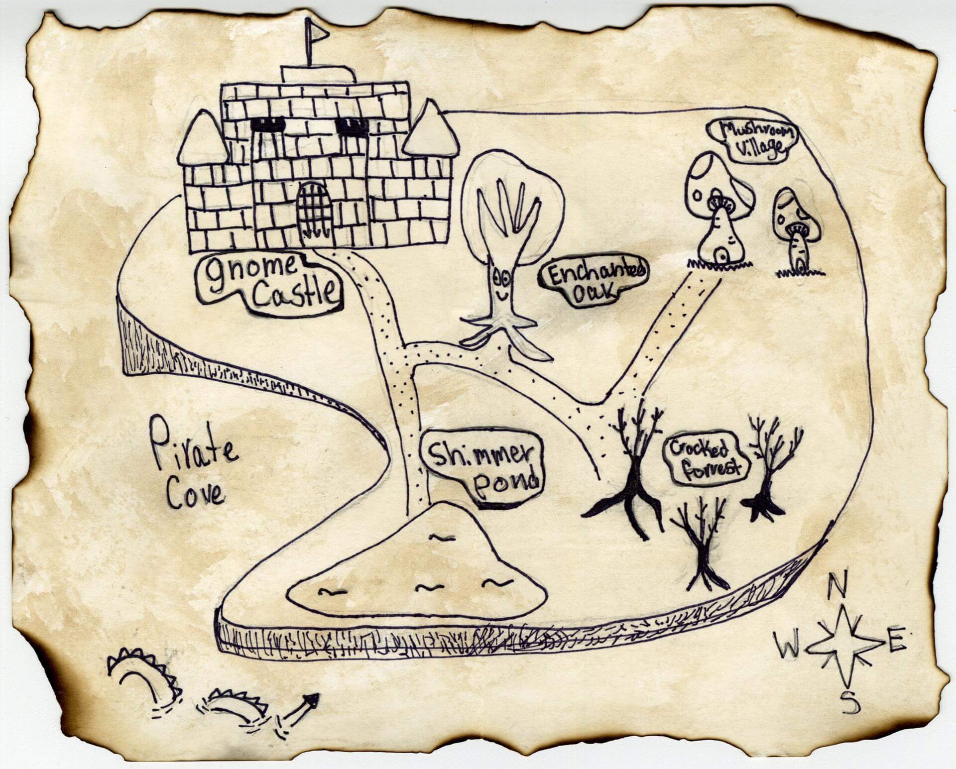
Addy D. of Falmouth
Falmouth Elementary School – 5th Grade.
See larger at https://oshermaps.org/wp-content/uploads/2025/05/25.197.jpg
The Hogwarts Grounds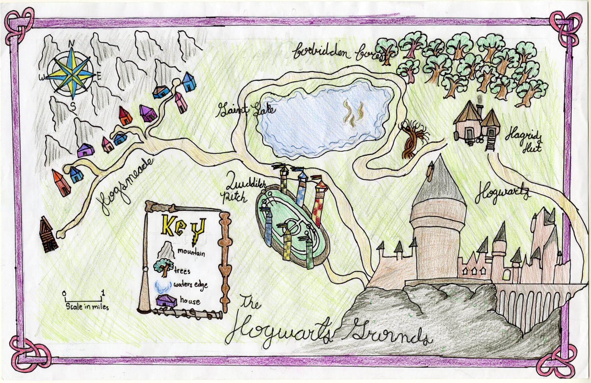
Adelaide P. of Brunswick
Brunswick Junior High – 6th Grade.
See larger at https://oshermaps.org/wp-content/uploads/2025/05/25.176.jpg
The Sea Dragon Island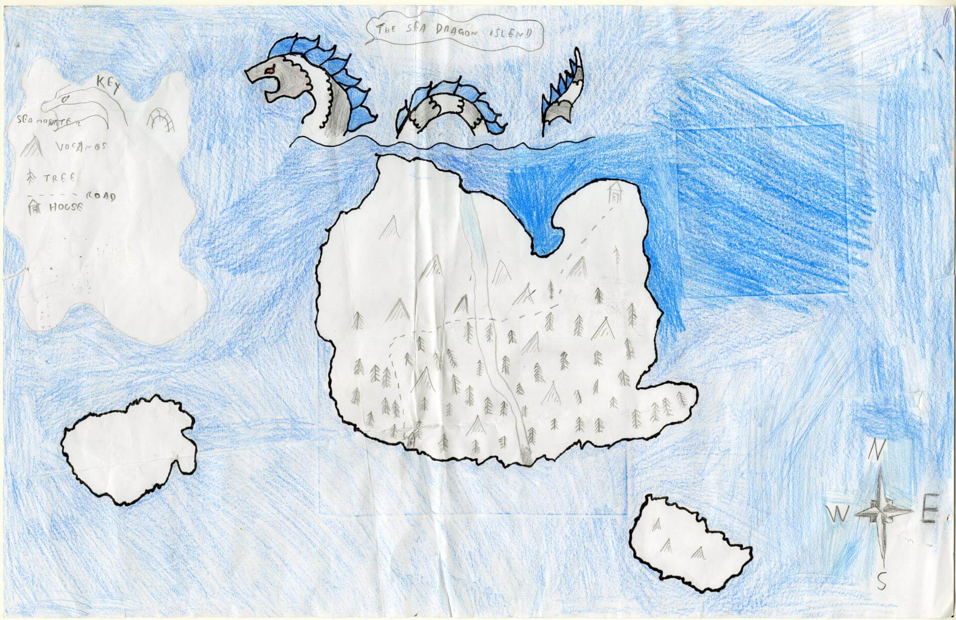
Adonai N. of Brunswick
Brunswick Jr. High – 6th Grade.
See larger at https://oshermaps.org/wp-content/uploads/2025/05/25.100.jpg
Preppy Land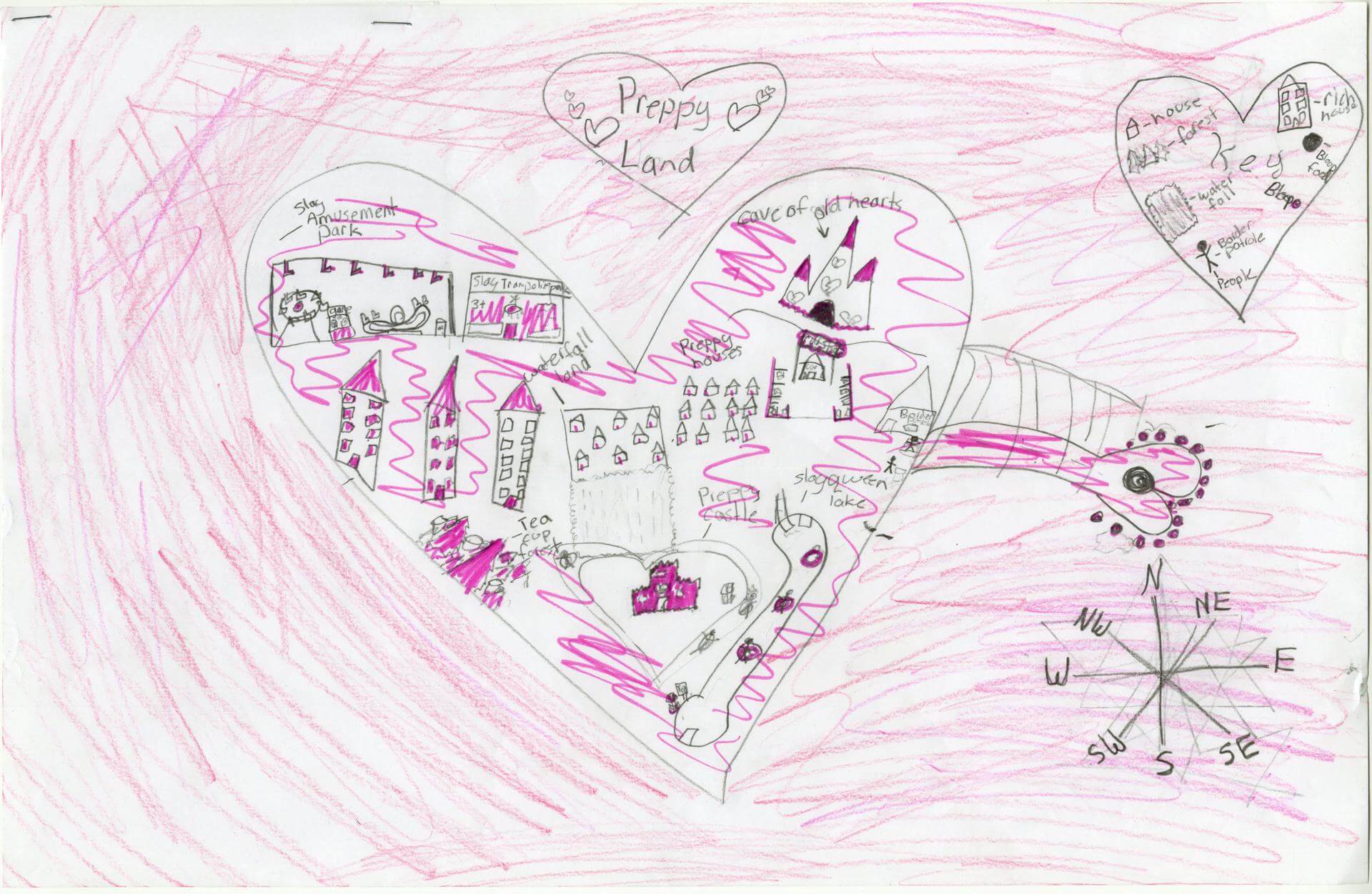
Adriana S. of Indian Township
Indian Township – 5th Grade.
See larger at https://oshermaps.org/wp-content/uploads/2025/05/25.230.jpg
Dragon Land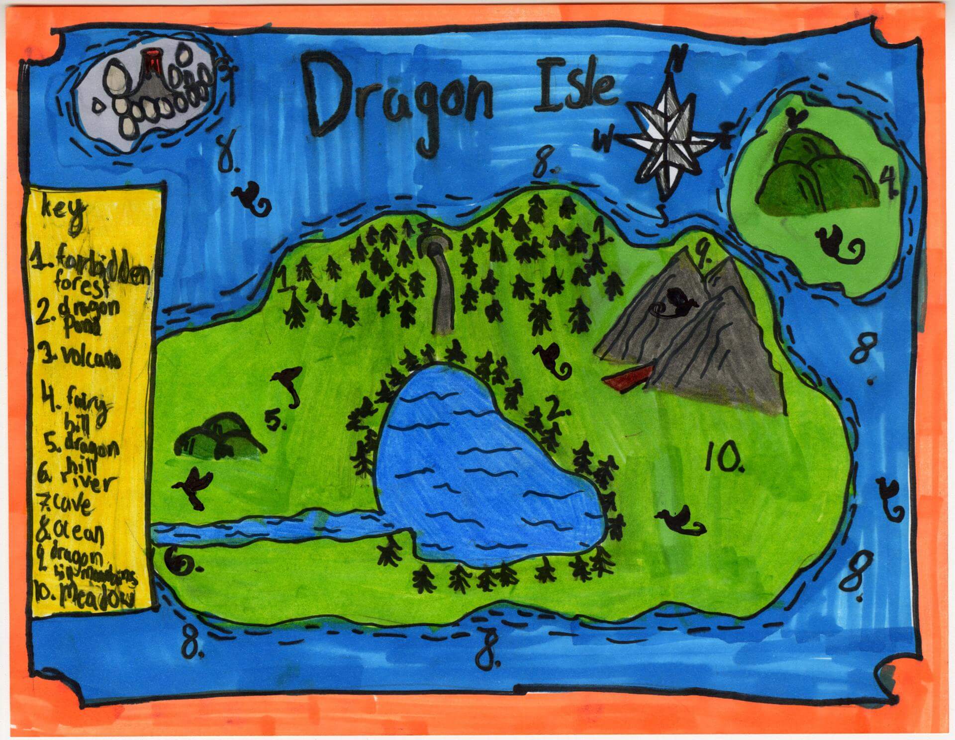
Aida K. of Gorham
Great Falls – 4th Grade.
See larger at https://oshermaps.org/wp-content/uploads/2025/05/25.213.jpg
Untitled
Aisha H. of Indian Township
Indian Township – 5th Grade.
See larger at https://oshermaps.org/wp-content/uploads/2025/05/25.223.jpg
Forgotten Islands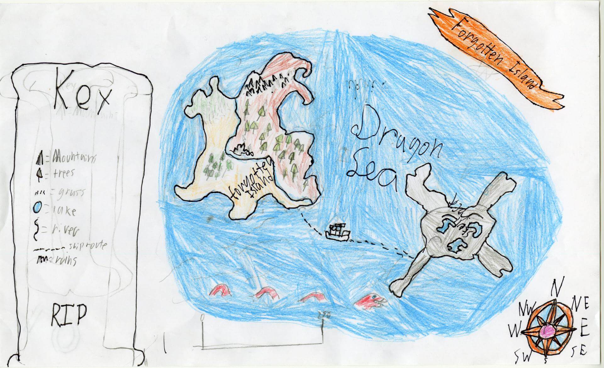
Akhil S. of Brunswick
Brunswick Junior High – 6th Grade.
See larger at https://oshermaps.org/wp-content/uploads/2025/05/25.157.jpg
Blob Island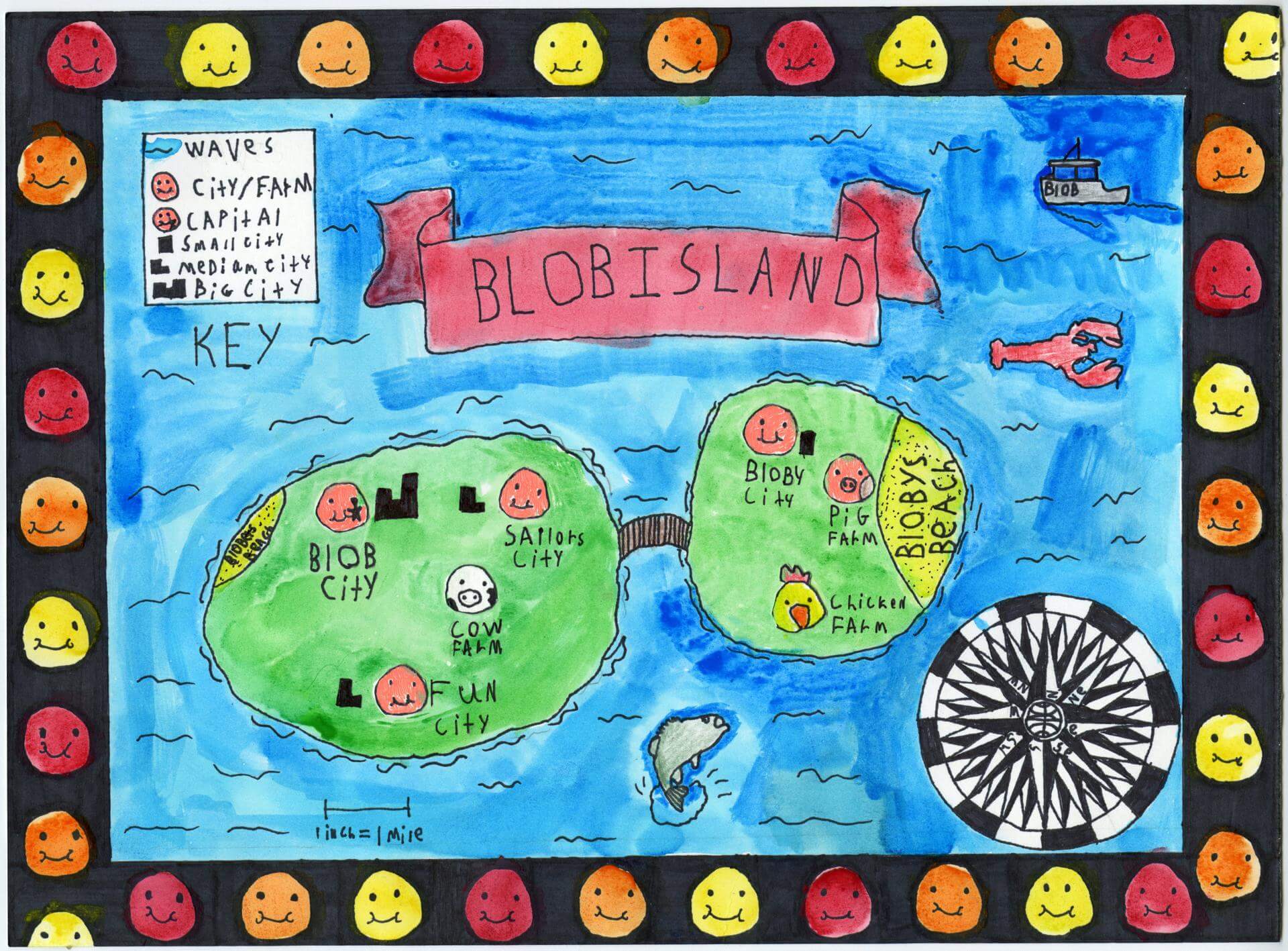
Alexander L. of Brunswick
Brunswick Jr. High – 6th Grade.
See larger at https://oshermaps.org/wp-content/uploads/2025/05/25.138.jpg
Floating Islands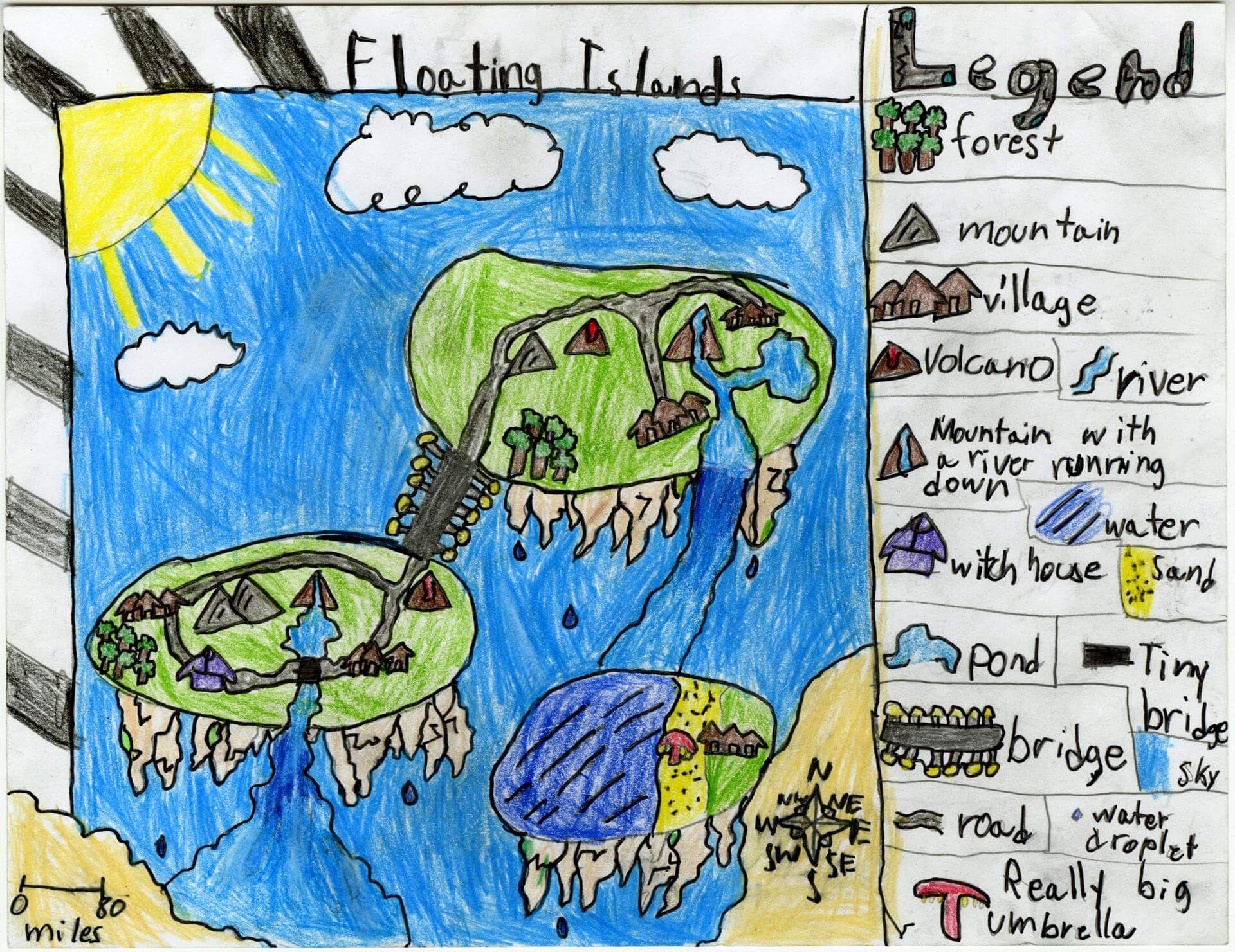
Alfonso Z. of Old Town
Old Town Elementary School – 4th Grade.
See larger at https://oshermaps.org/wp-content/uploads/2025/05/25.199.jpg
Heart Island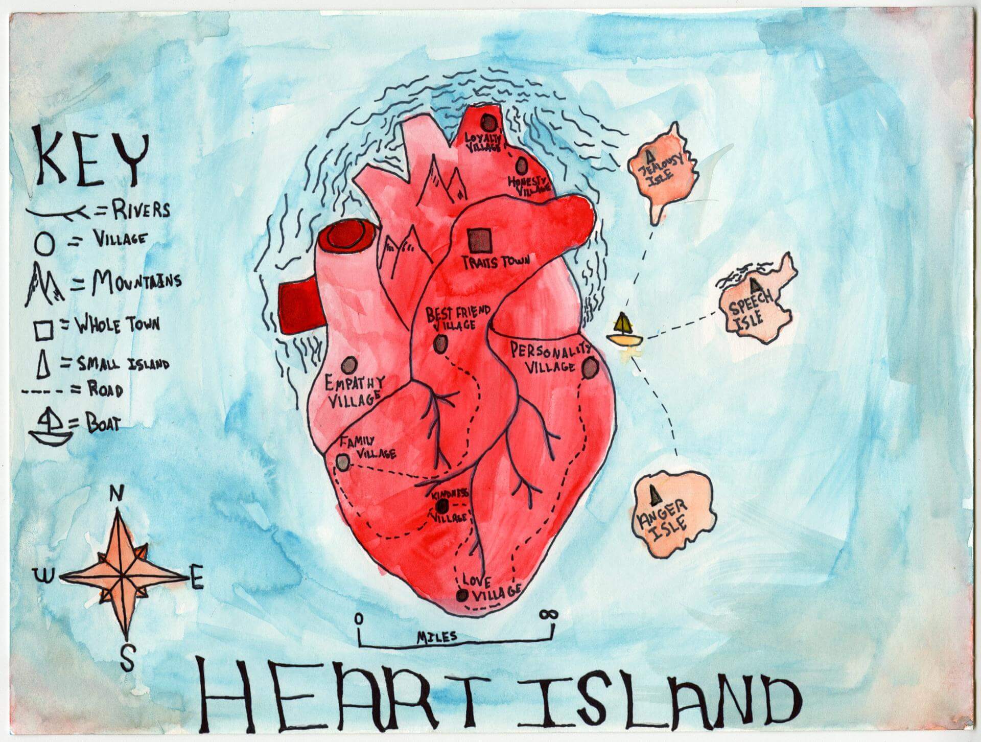
Alice G. of Brunswick
Brunswick Jr. High – 6th Grade.
See larger at https://oshermaps.org/wp-content/uploads/2025/05/25.112.jpg
Buffingburg
Alice M. of Searsmont
Homeschool – 6th Grade.
See larger at https://oshermaps.org/wp-content/uploads/2025/05/25.309.jpeg
Pentent Island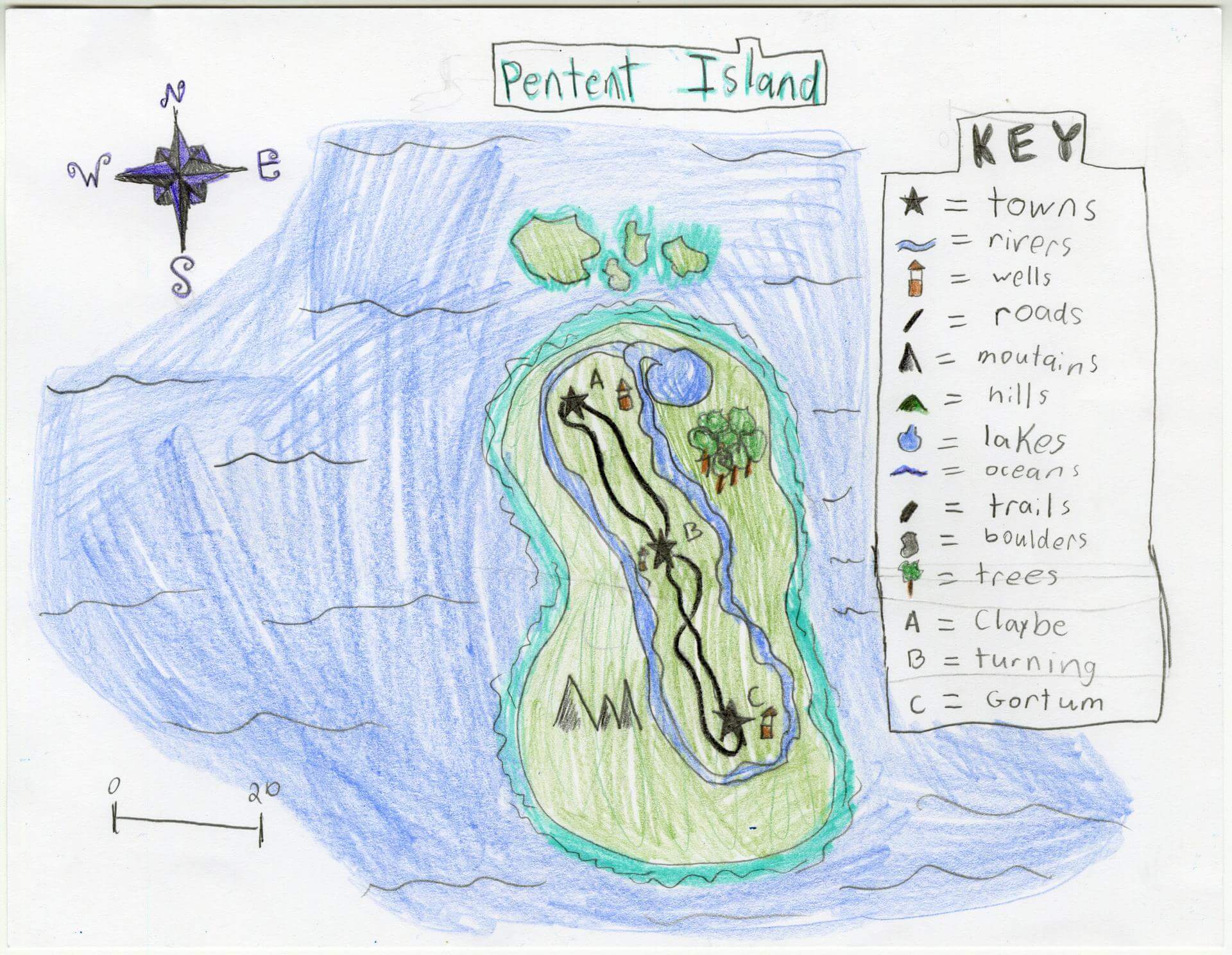
Allison D. of Gorham
Narragansett Elementary – 4th Grade.
See larger at https://oshermaps.org/wp-content/uploads/2025/05/25.125.jpg
Wolf Island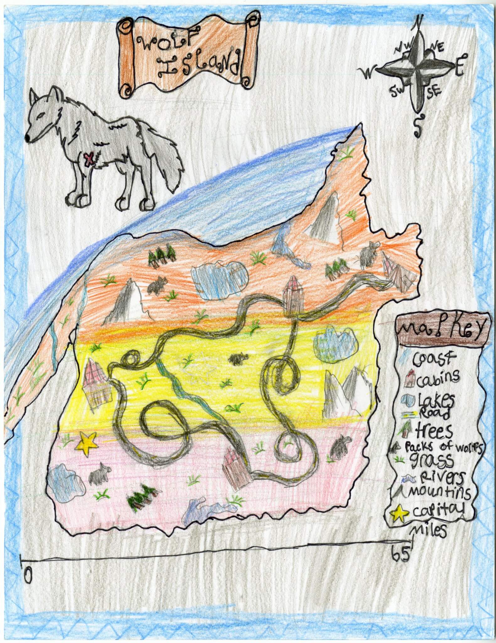
Alyssa J. of Old Town
Old Town Elementary School – 4th Grade.
See larger at https://oshermaps.org/wp-content/uploads/2025/05/25.206.jpg
Ancestor’s Island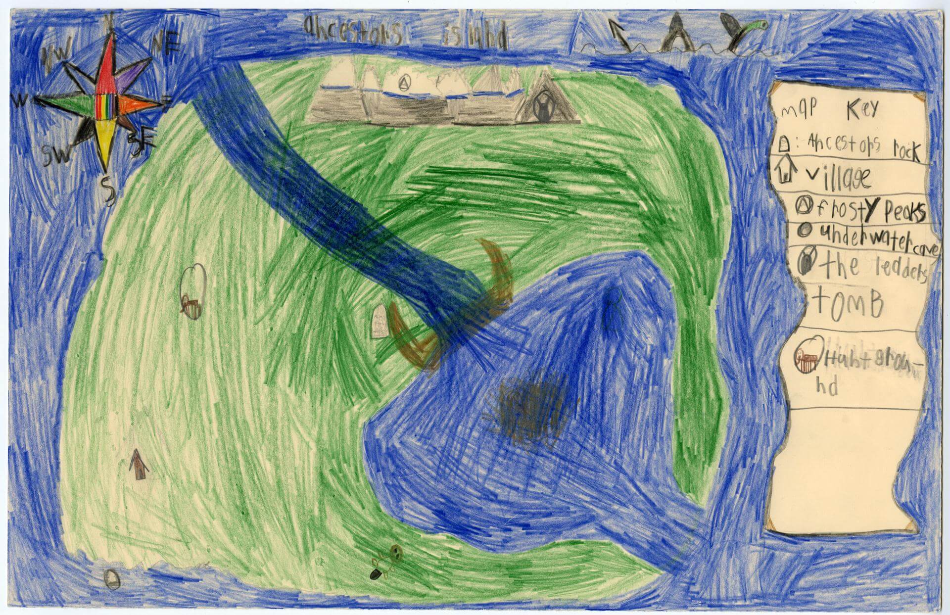
Ames E. of Brunswick
Harriet Beecher Stowe Elem – 4th Grade.
See larger at https://oshermaps.org/wp-content/uploads/2025/05/25.027.jpg
Potato Land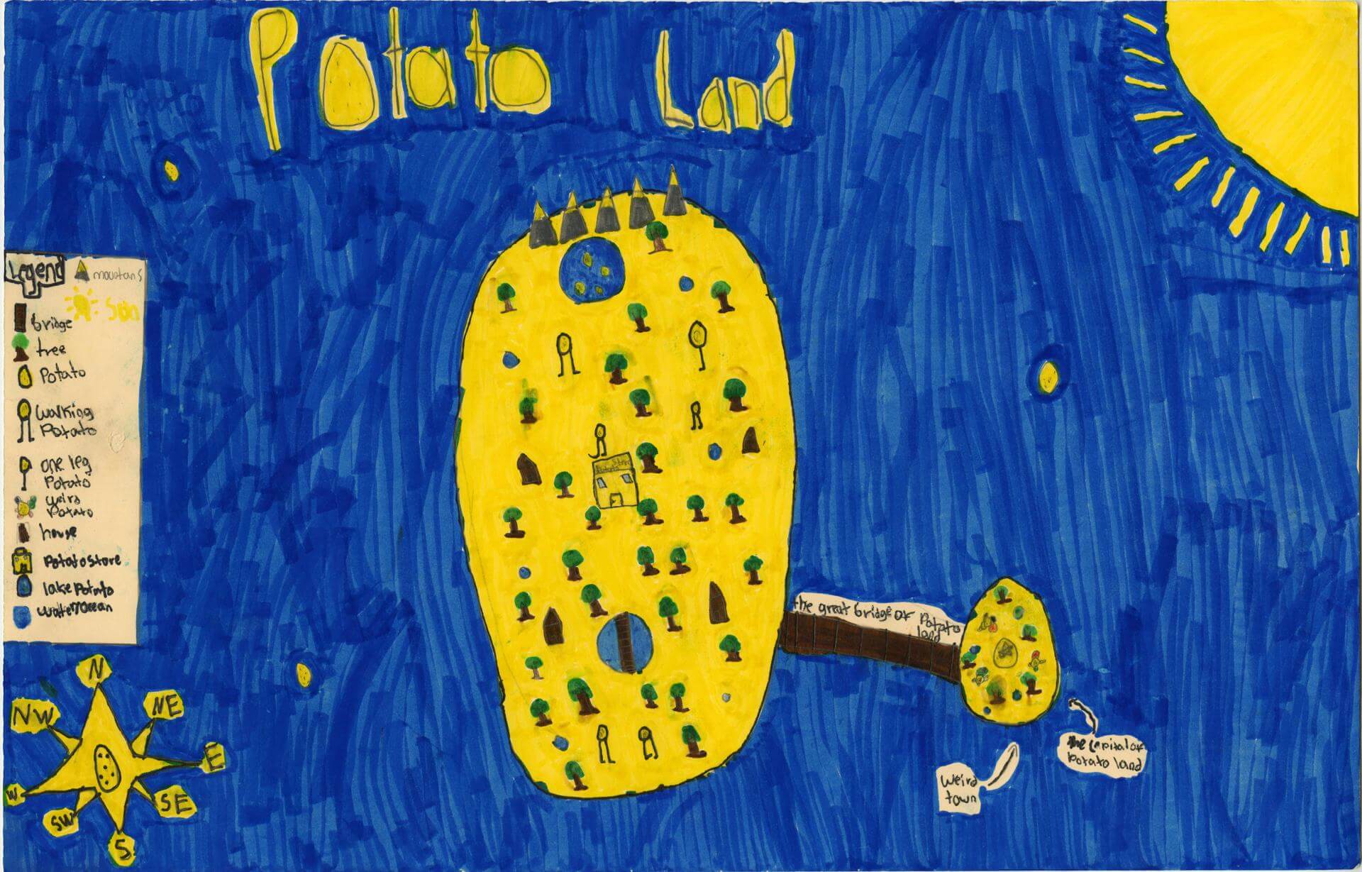
Amine E. of Brunswick
Harriet Beecher Stowe Elem – 4th Grade.
See larger at https://oshermaps.org/wp-content/uploads/2025/05/25.017.jpg
The Bahamas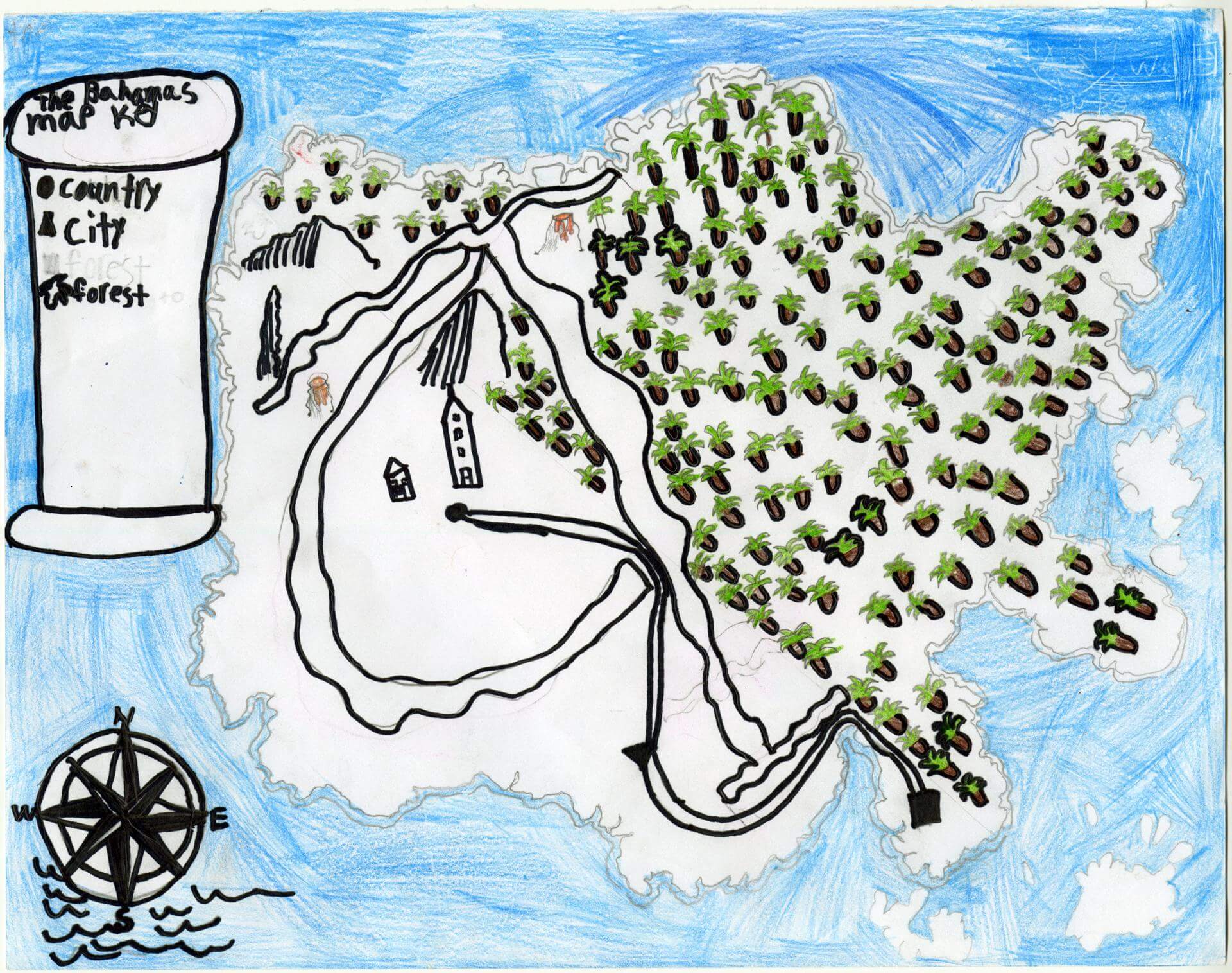
Anastasia L. of Oxford
Oxford Elementary – 5th Grade.
See larger at https://oshermaps.org/wp-content/uploads/2025/05/25.191.jpg
New ZZZealand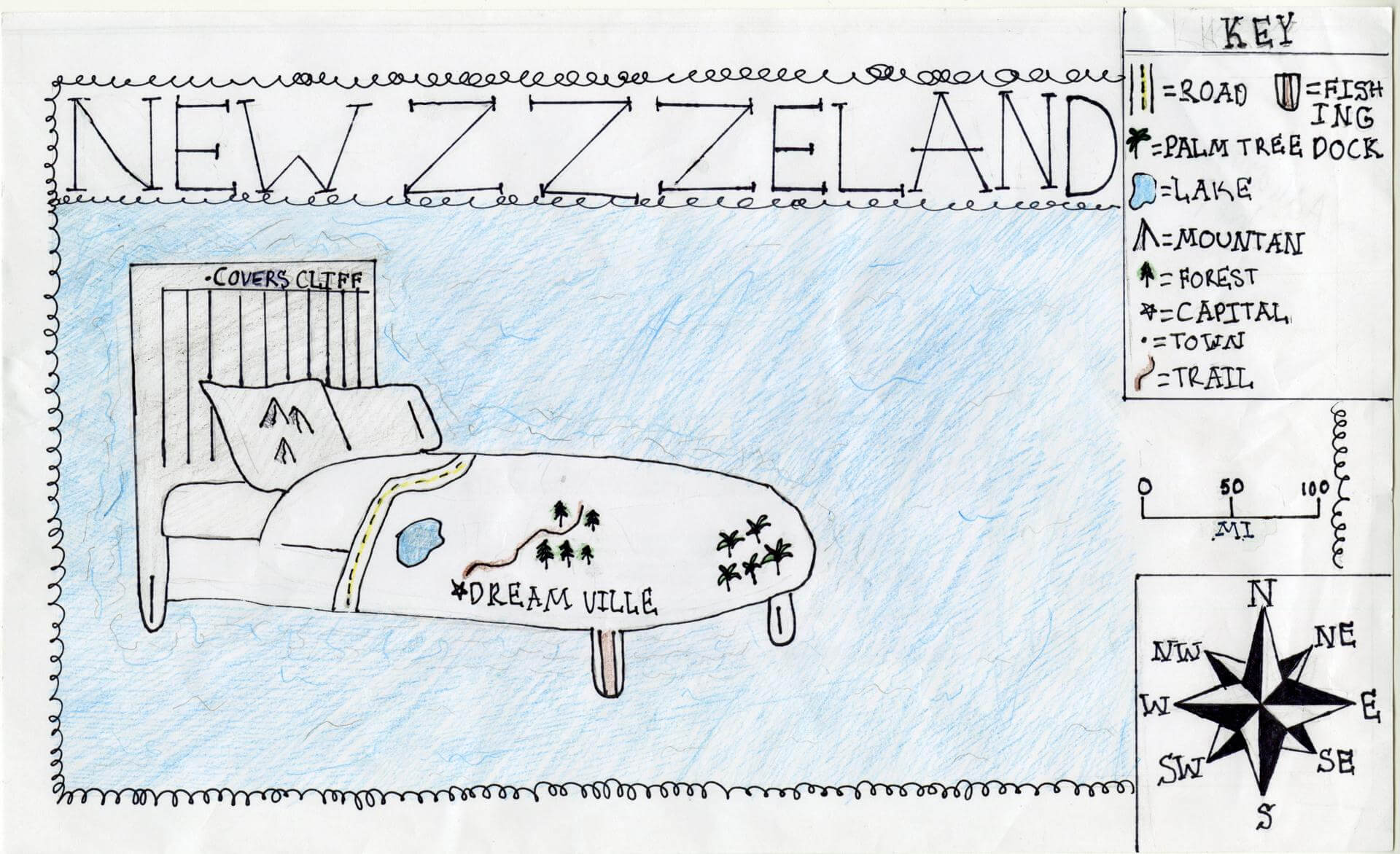
Andrianna S. of Brunswick
Brunswick Junior High – 6th Grade.
See larger at https://oshermaps.org/wp-content/uploads/2025/05/25.155.jpg
Four Seasons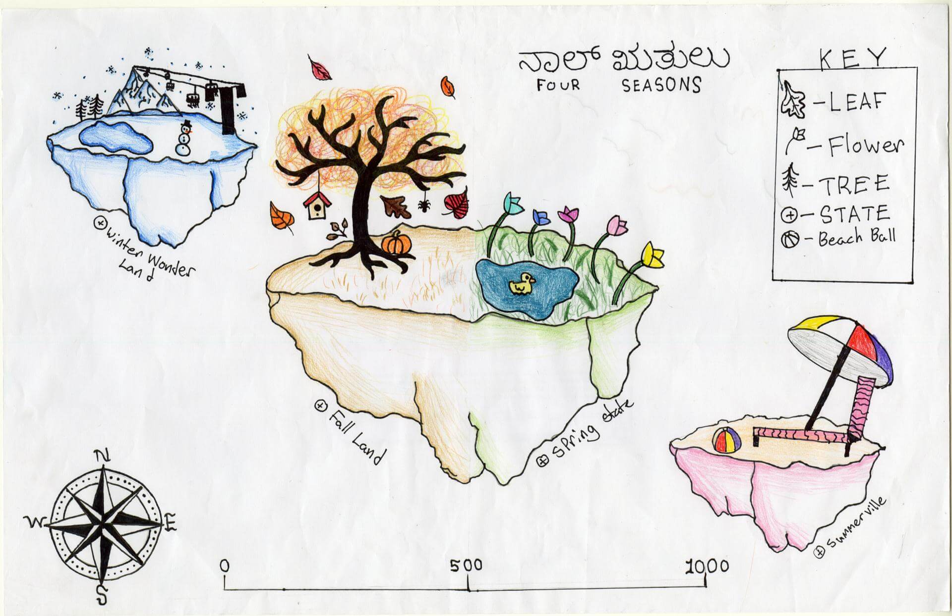
Anna C. of Brunswick
Brunswick Junior HIgh – 6th Grade.
See larger at https://oshermaps.org/wp-content/uploads/2025/05/25.163.jpg
Shamrock Isle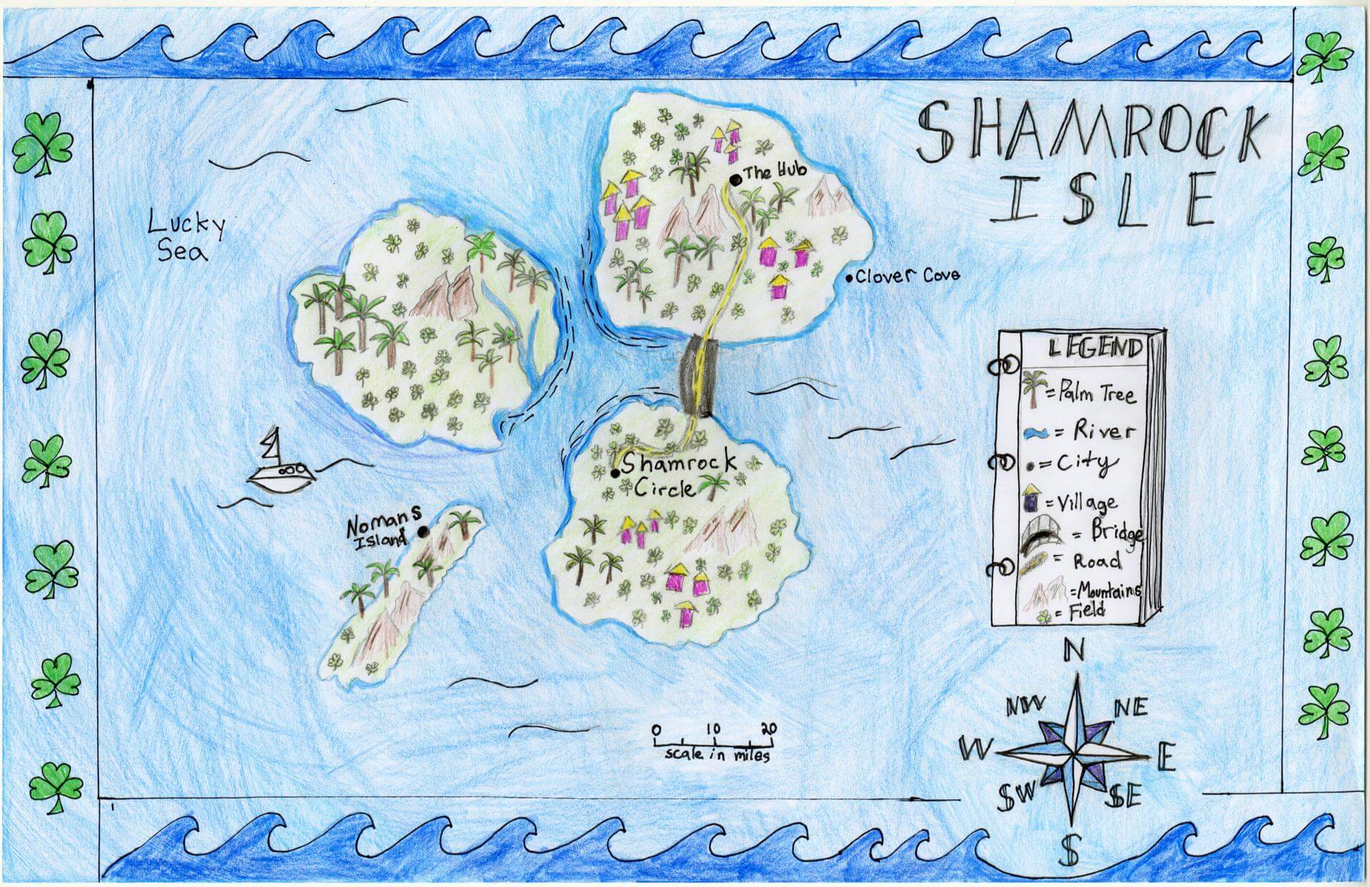
Anna P. of Brunswick
Brunswick Junior High – 6th Grade.
See larger at https://oshermaps.org/wp-content/uploads/2025/05/25.159.jpg
The Divine Biblioteca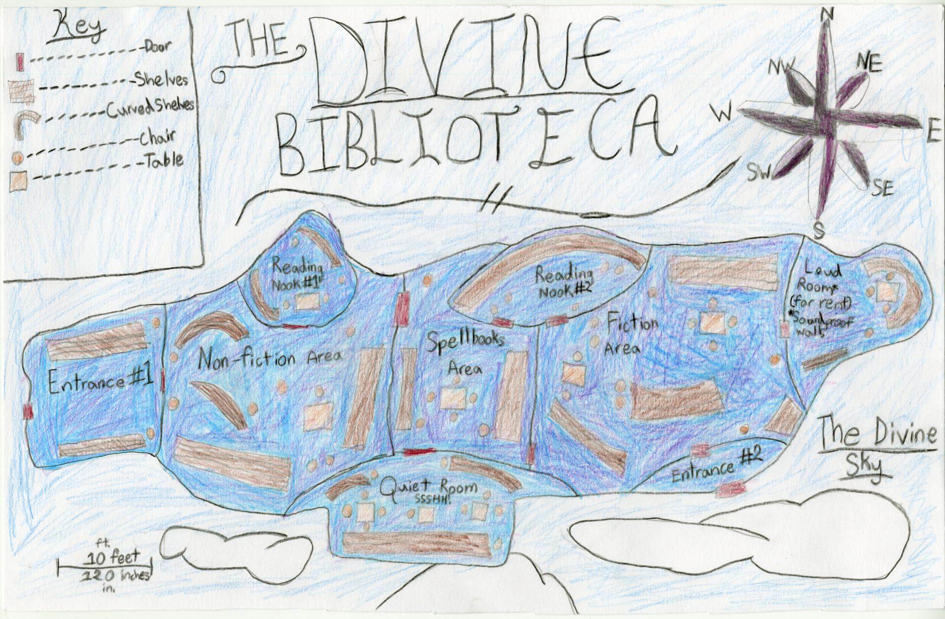
Annelise A. of Brunswick
Harriet Beecher Stowe Elem – 5th Grade.
See larger at https://oshermaps.org/wp-content/uploads/2025/05/25.013.jpg
Brunswick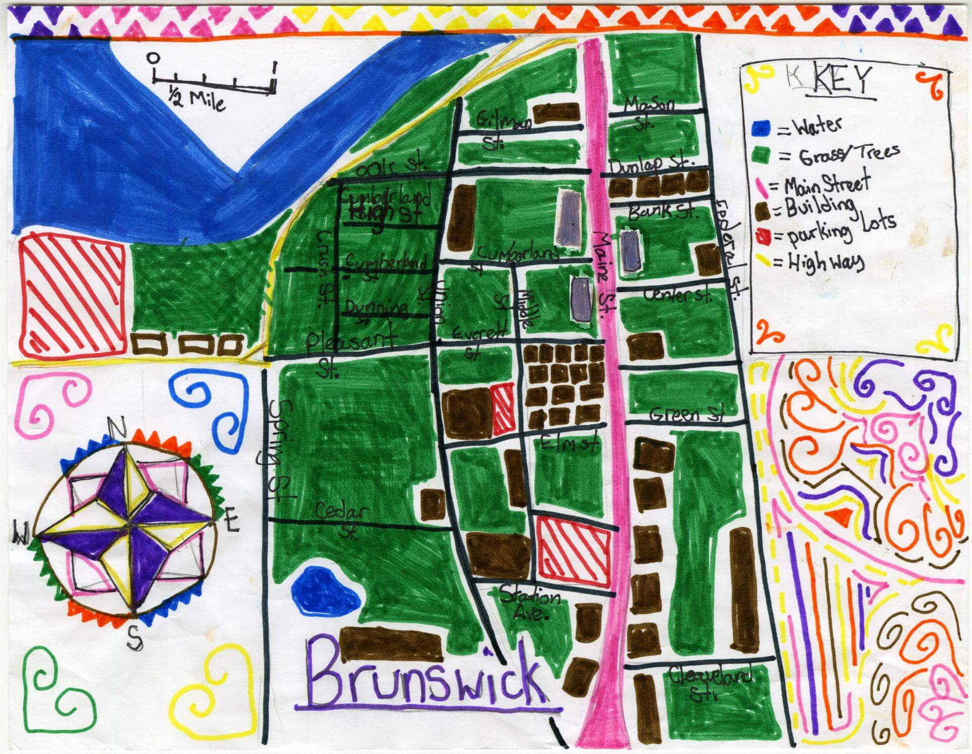
Ari M. of Brunswick
Brunswick Jr. High – 6th Grade.
See larger at https://oshermaps.org/wp-content/uploads/2025/05/25.145.jpg
Zodiaczilla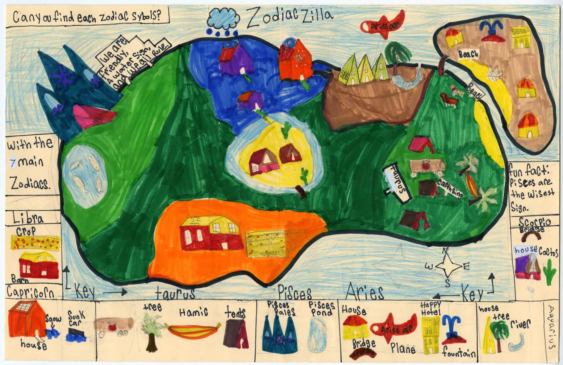
Arrow O. of Topsham
Harriet Beecher Stowe Elem – 4th Grade.
See larger at https://oshermaps.org/wp-content/uploads/2025/05/25.021.jpg
Blossom Forest 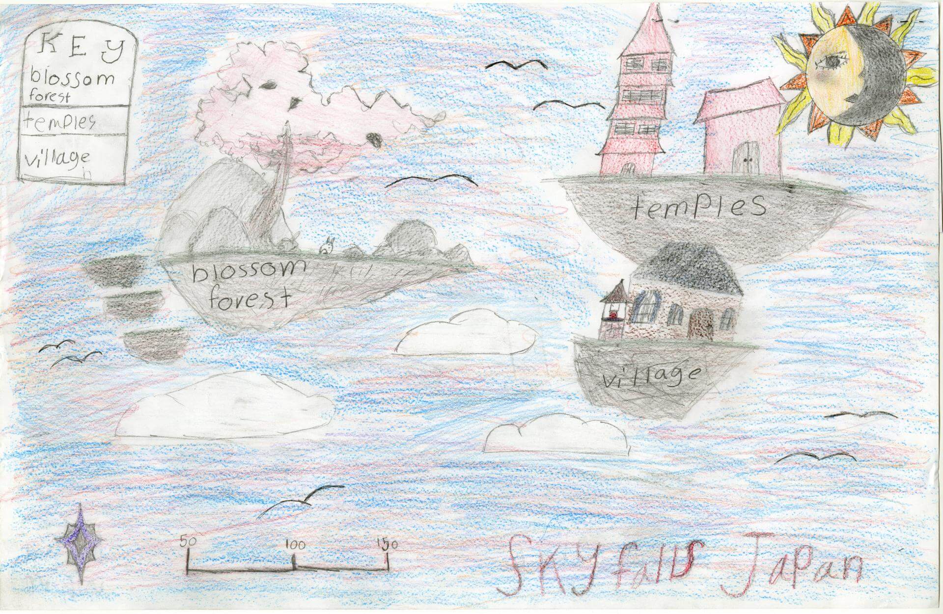
Aryan B. of Indian Township
Indian Township – 6th Grade.
See larger at https://oshermaps.org/wp-content/uploads/2025/05/25.229.jpg
Slovenia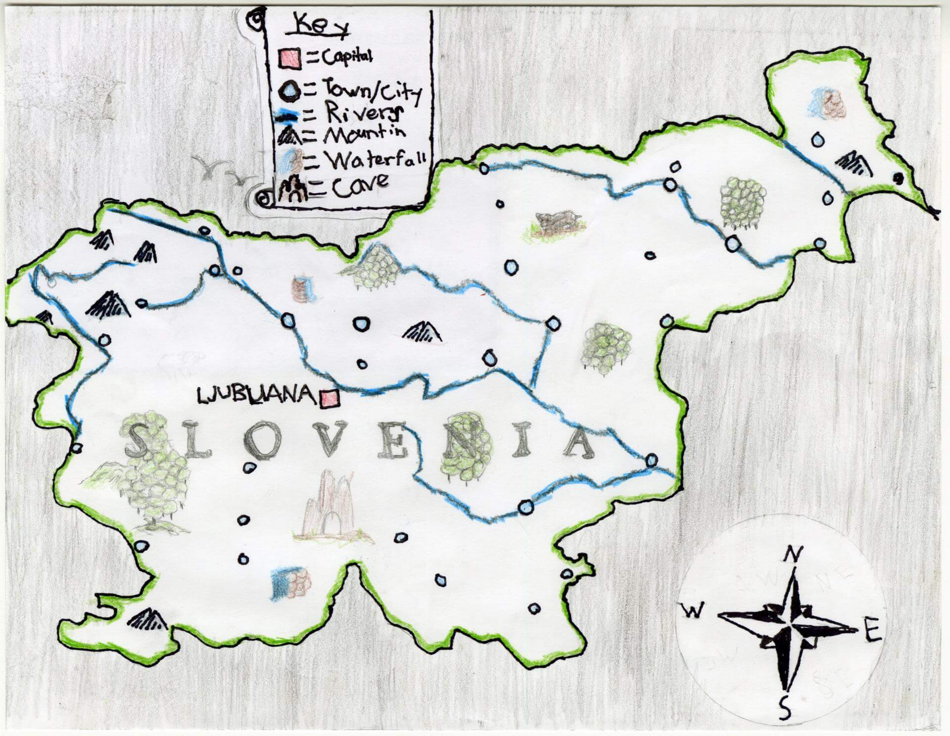
Atlas B. of Gorham
Narragansett Elementary – 4th Grade.
See larger at https://oshermaps.org/wp-content/uploads/2025/05/25.123.jpg
Krill Islands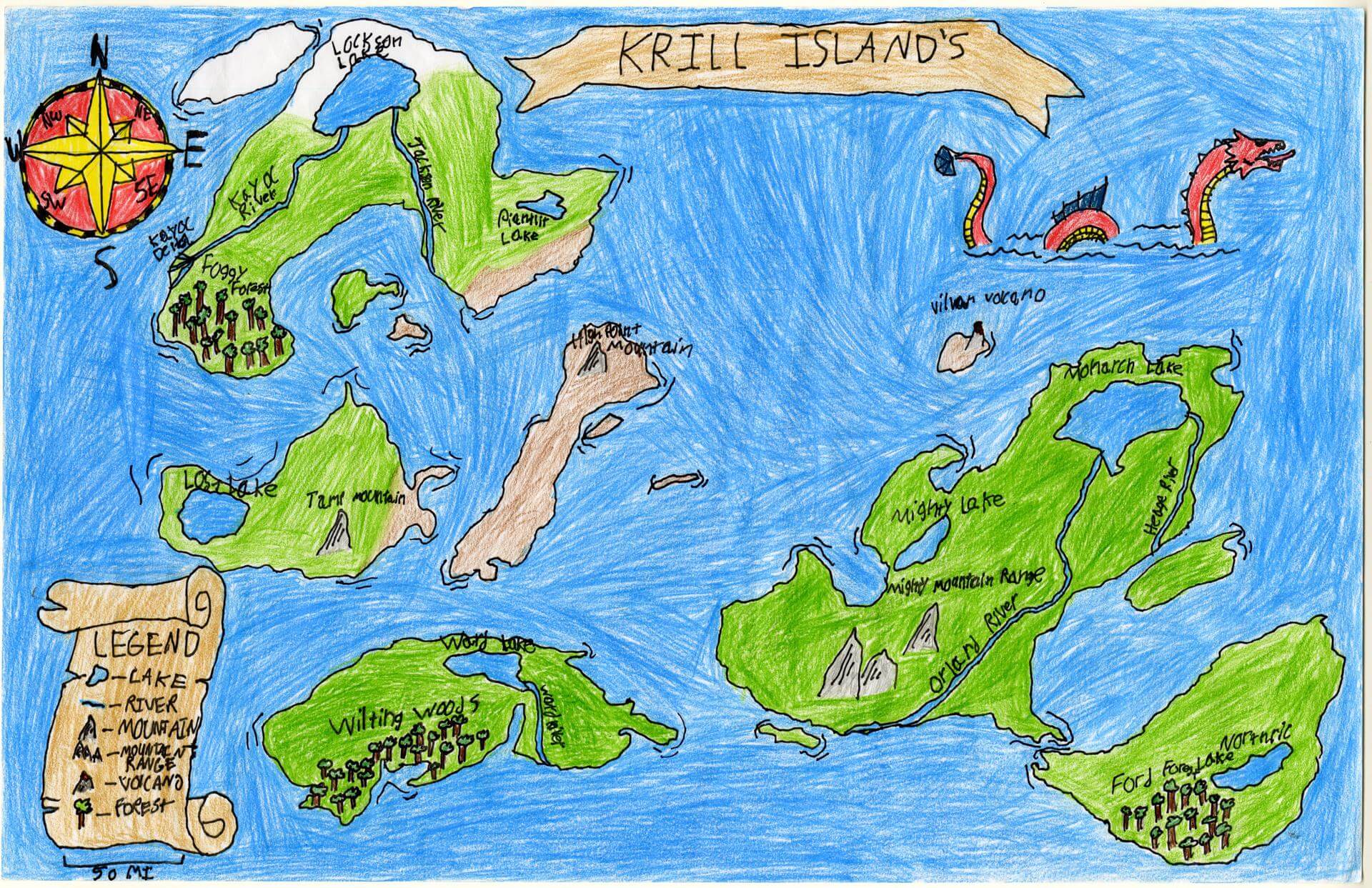
Austin J. of Brunswick
Brunswick Jr. High – 6th Grade.
See larger at https://oshermaps.org/wp-content/uploads/2025/05/25.073.jpg
The Gem Parana Islands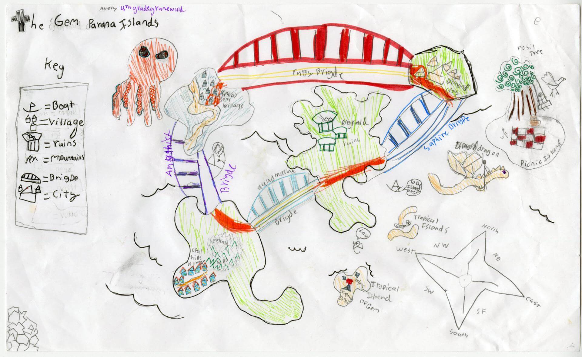
Avery B. of Brunswick
Harriet Beecher Stowe Elem – 4th Grade.
See larger at https://oshermaps.org/wp-content/uploads/2025/05/25.011.jpg
Palace Island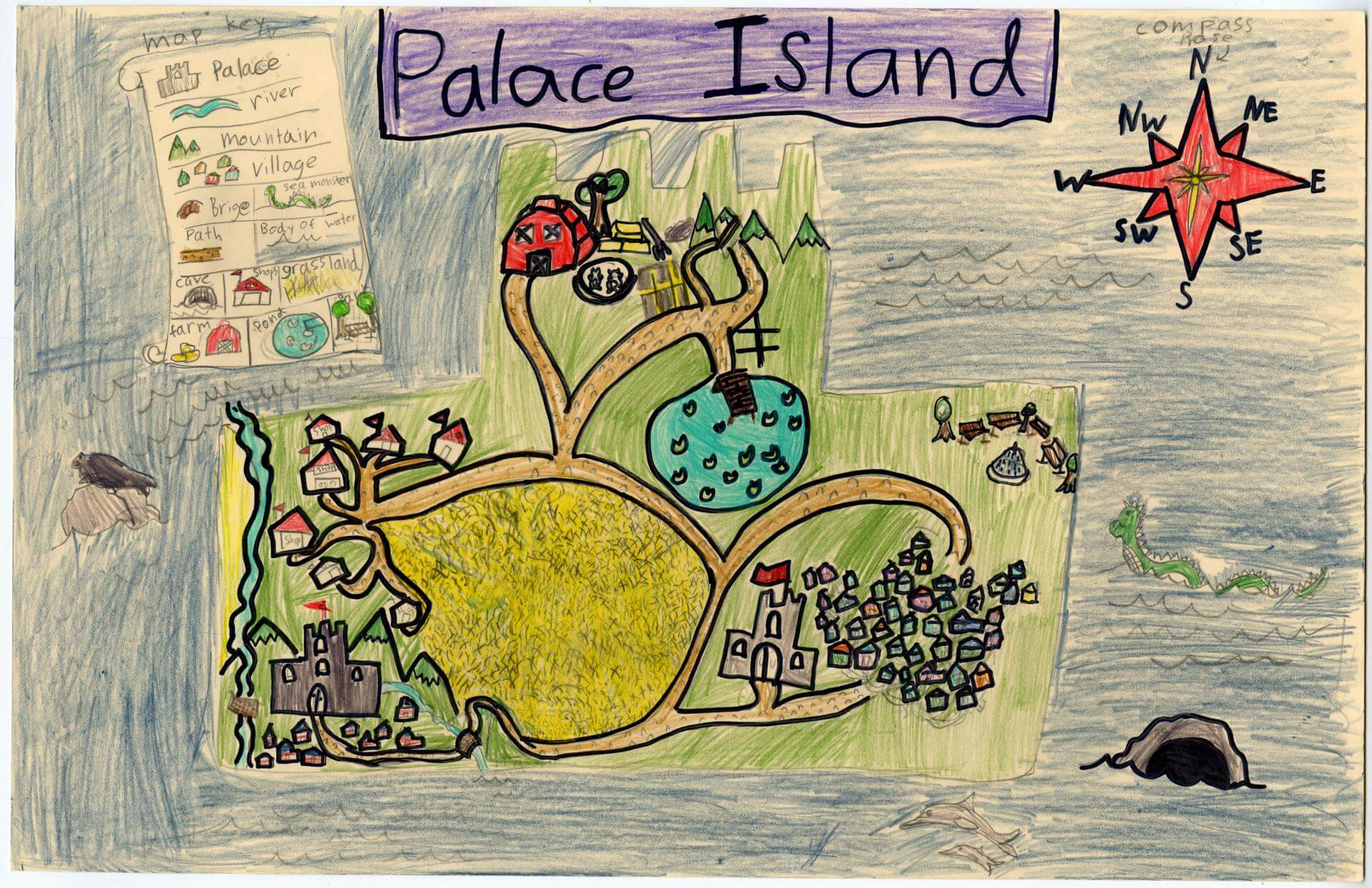
Avery T. of Brunswick
Harriet Beecher Stowe Elem – 4th Grade.
See larger at https://oshermaps.org/wp-content/uploads/2025/05/25.025.jpg
Random Island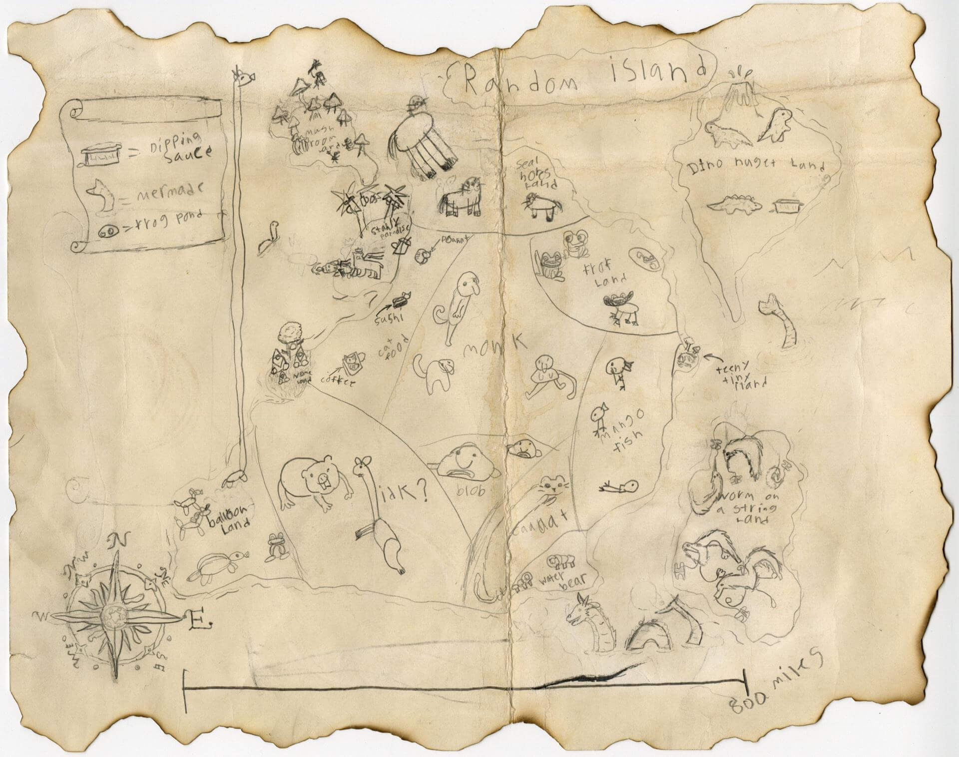
Bailey H. of Brunswick
Brunswick Jr. High – 6th Grade.
See larger at https://oshermaps.org/wp-content/uploads/2025/05/25.079.jpg
Phena isle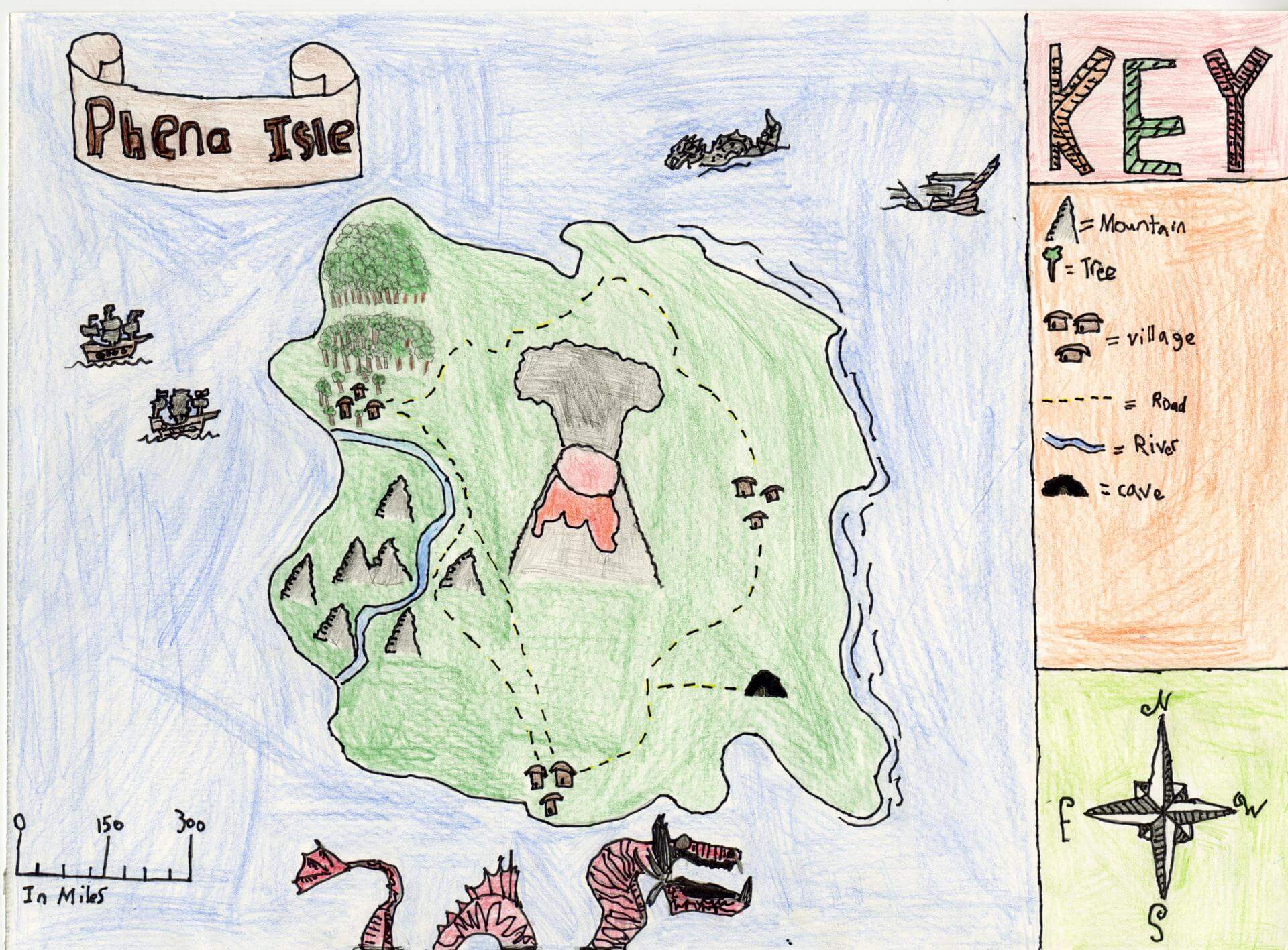
Baker F. of Brunswick
Brunswick Jr. High – 6th Grade.
See larger at https://oshermaps.org/wp-content/uploads/2025/05/25.091.jpg
White Lake State Park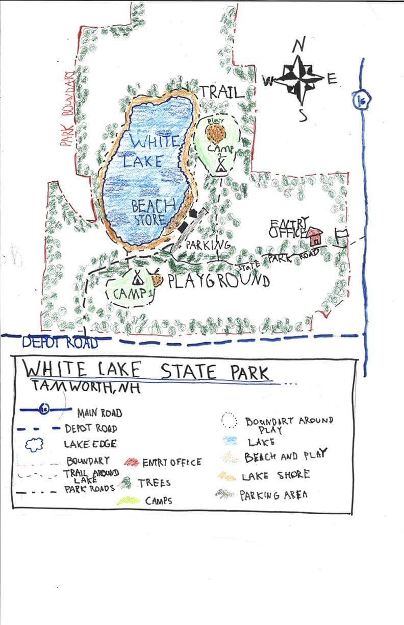
Ben B. of SOUTH BERWICK
Great Works School – 4th Grade.
See larger at https://oshermaps.org/wp-content/uploads/2025/05/25.261.jpg
Shiver Island
Benjamin L. of Oxford
Oxford Elementary – 5th Grade.
See larger at https://oshermaps.org/wp-content/uploads/2025/05/25.189.jpg
The Strix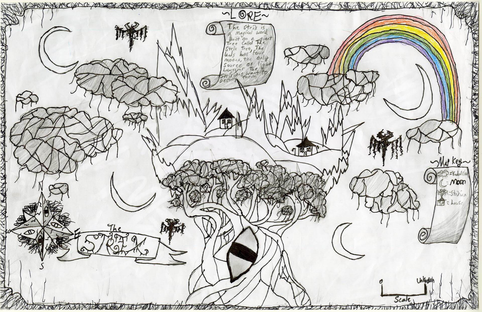
Benny B. of Brunswick
Brunswick Jr. High – 6th Grade.
See larger at https://oshermaps.org/wp-content/uploads/2025/05/25.067.jpg
Rapper Island
Bentley H. of York
York Middle School – 6th Grade.
See larger at https://oshermaps.org/wp-content/uploads/2025/05/25.276.jpg
Norden Isles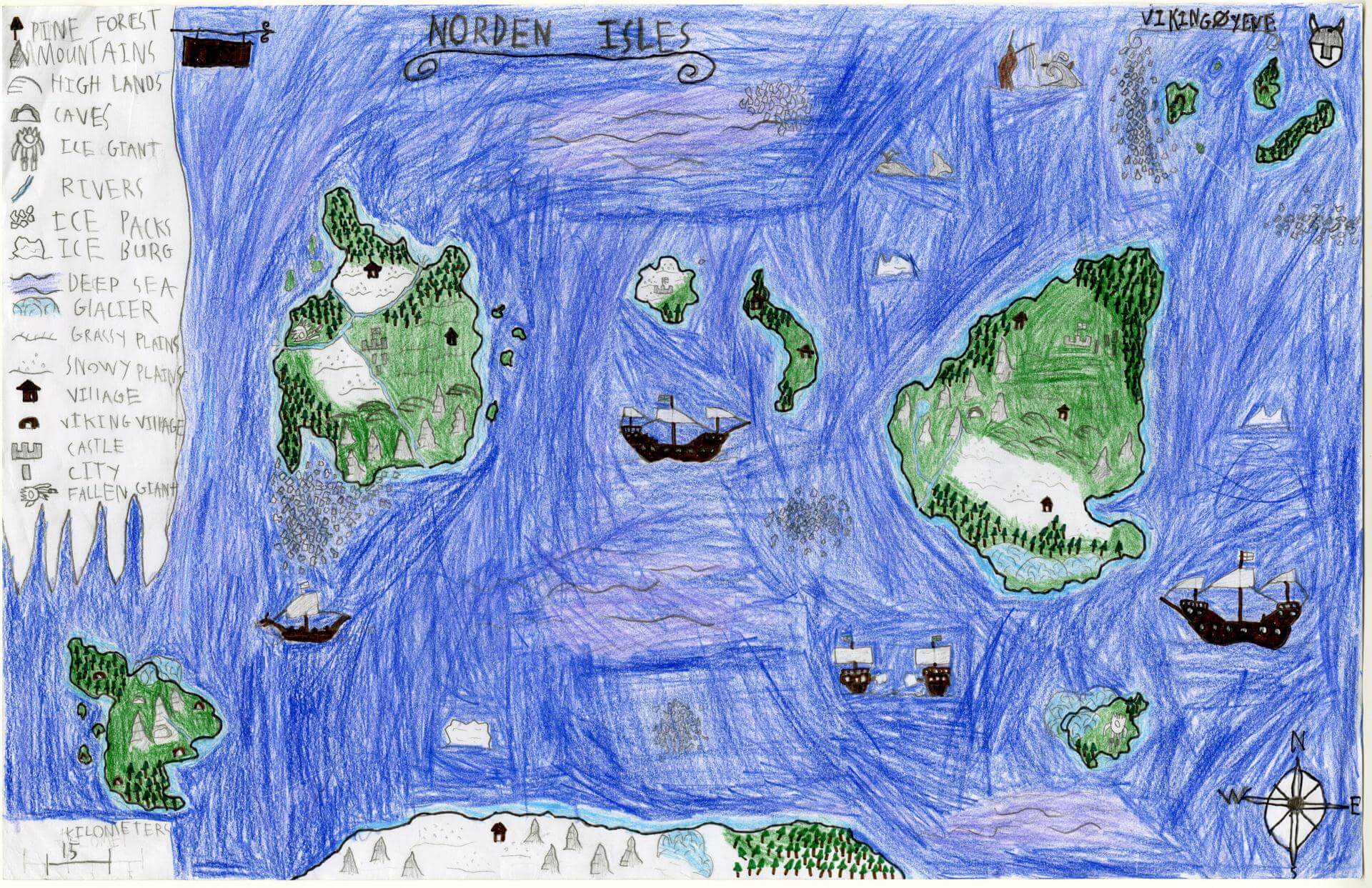
Bernard L. of Brunswick
Brunswick Jr. High – 6th Grade.
See larger at https://oshermaps.org/wp-content/uploads/2025/05/25.078.jpg
The Namicis Islands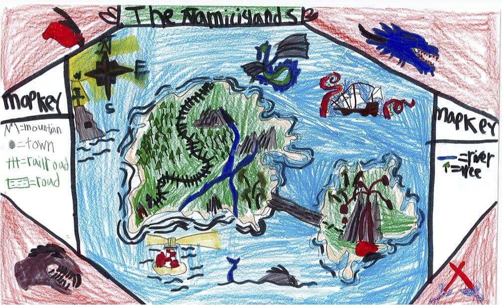
Bode J. of South Berwick
Marshwood Great Works – 4th Grade.
See larger at https://oshermaps.org/wp-content/uploads/2025/05/25.254.jpg
Dragon Isle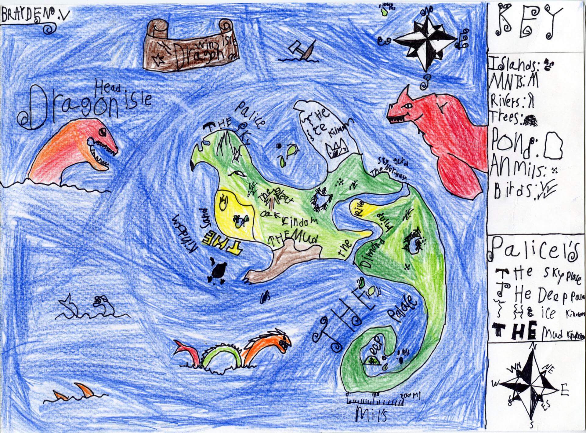
Brayden V. of Brunswick
Brunswick Jr. High – 6th Grade.
See larger at https://oshermaps.org/wp-content/uploads/2025/05/25.098.jpg
Golf Island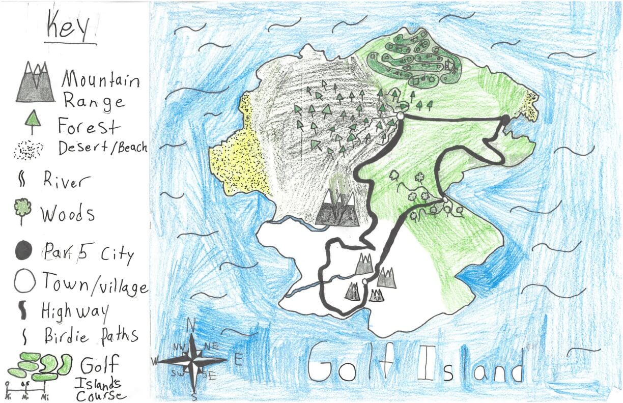
Brendan D. of York
York Middle School – 6th Grade.
See larger at https://oshermaps.org/wp-content/uploads/2025/05/25.283.jpg
The Gaming Islands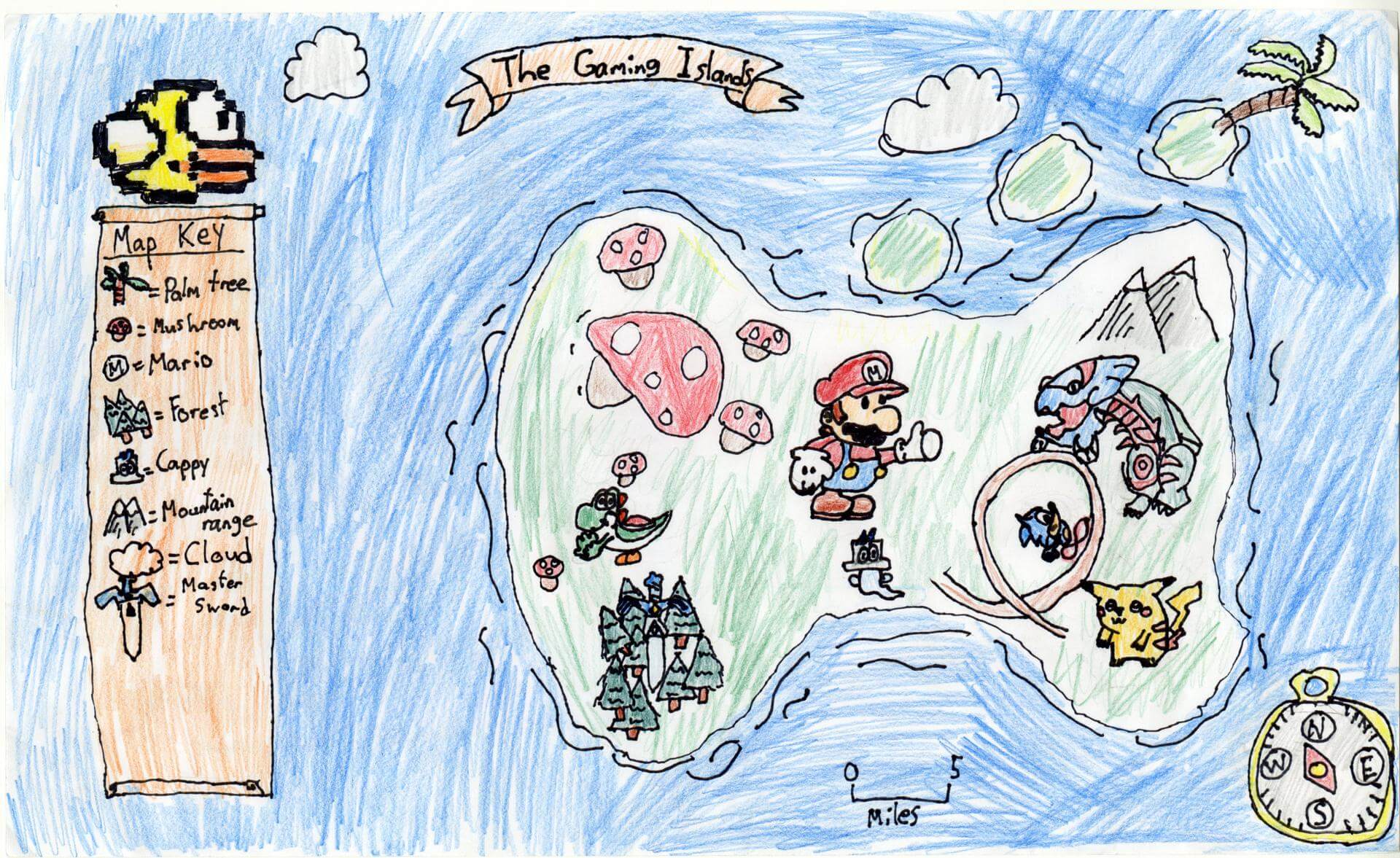
Bret M. of Brunswick
Brunswick Jr. High – 6th Grade.
See larger at https://oshermaps.org/wp-content/uploads/2025/05/25.086.jpg
Pink Soccer Island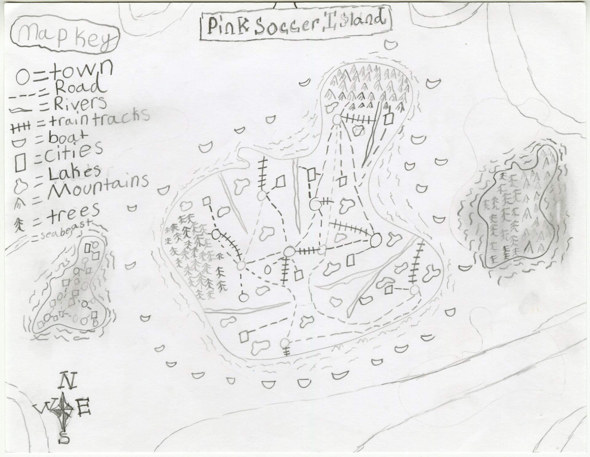
Brinley G. of Gorham
Narragansett Elementary – 4th Grade.
See larger at https://oshermaps.org/wp-content/uploads/2025/05/25.117.jpg
Castle Island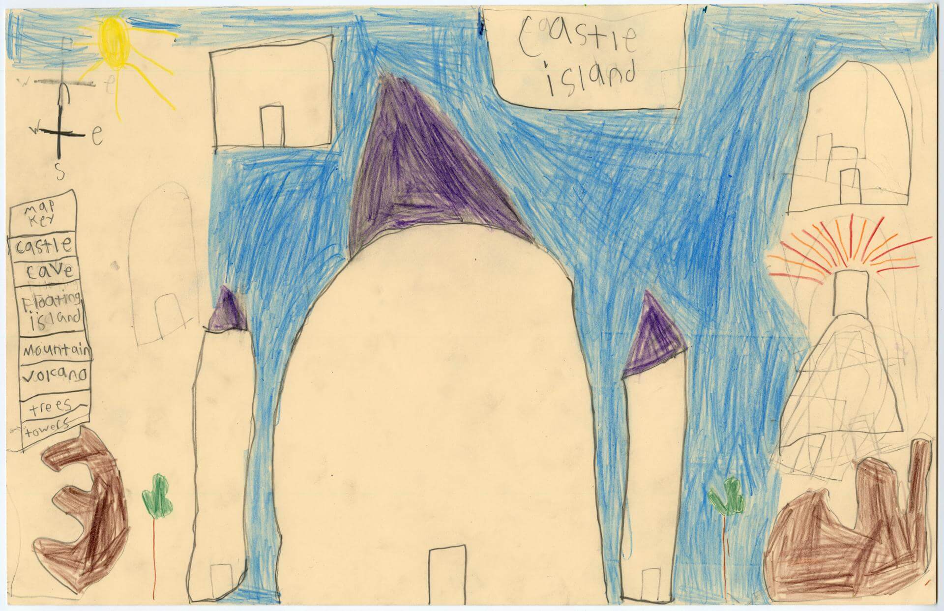
Broin N. of Brunswick
Harriet Beecher Stowe Elem – 4th Grade.
See larger at https://oshermaps.org/wp-content/uploads/2025/05/25.018.jpg
Peace Island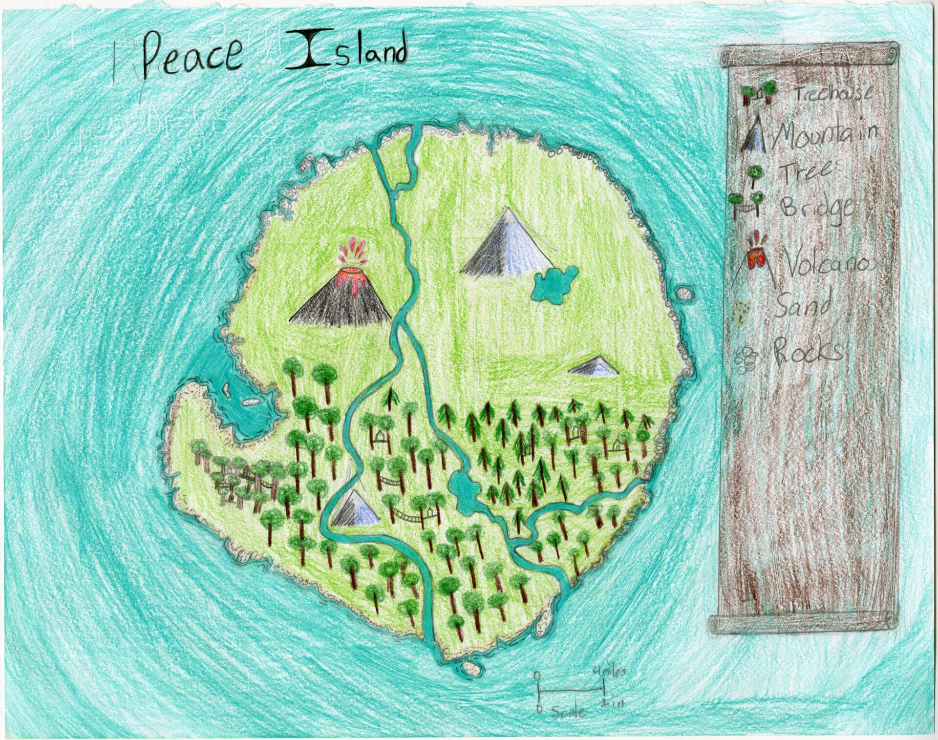
Bronwyn S. of Oxford
Oxford Elementary – 5th Grade.
See larger at https://oshermaps.org/wp-content/uploads/2025/05/25.187.jpg
Turtle Land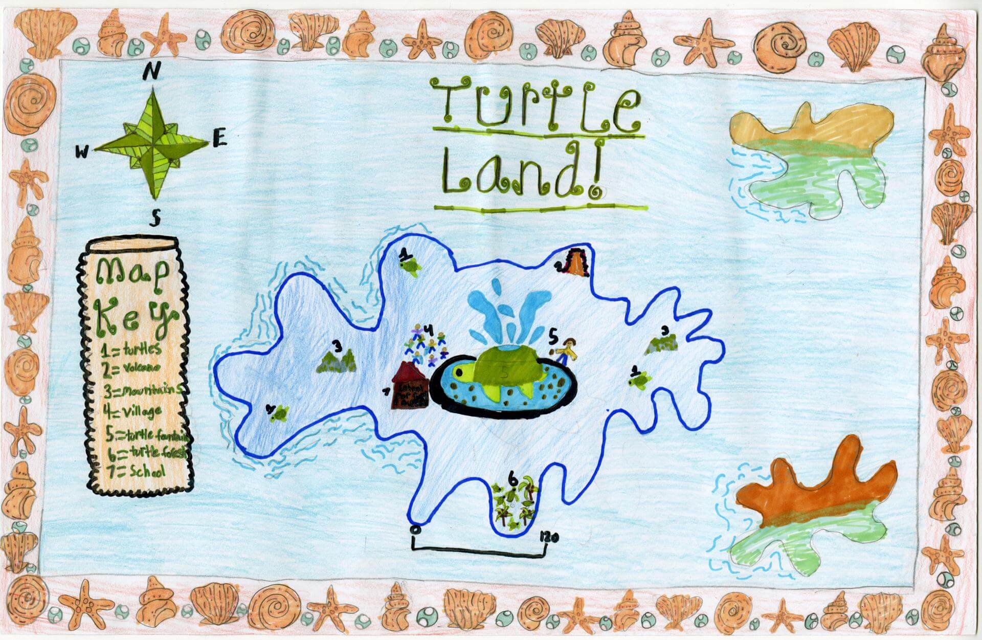
Calla M. of Gorham
Narragansett – 4th Grade.
See larger at https://oshermaps.org/wp-content/uploads/2025/05/25.215.jpg
Farm Island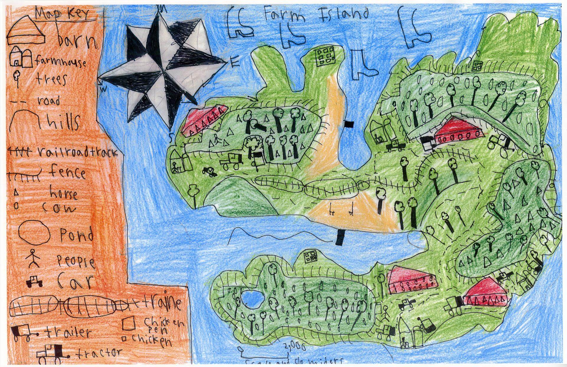
Camden C. of South Berwick
Marshwood Great Works School – 4th Grade.
See larger at https://oshermaps.org/wp-content/uploads/2025/05/25.336.jpg
Flying Islands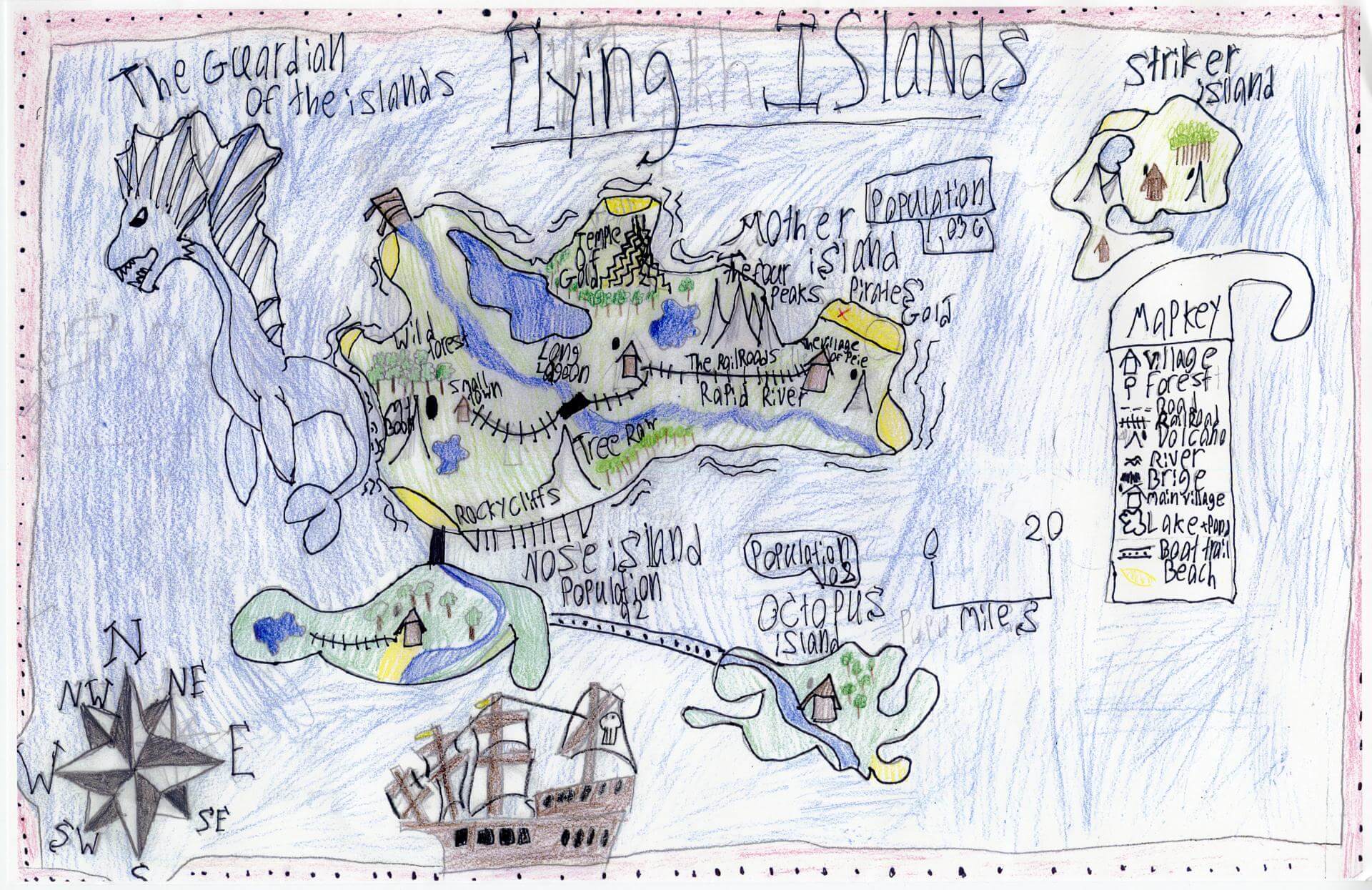
Cameron M. of South Berwick
Marshwood Great Works School – 4th Grade.
See larger at https://oshermaps.org/wp-content/uploads/2025/05/25.338.jpg
Blooms of the Hours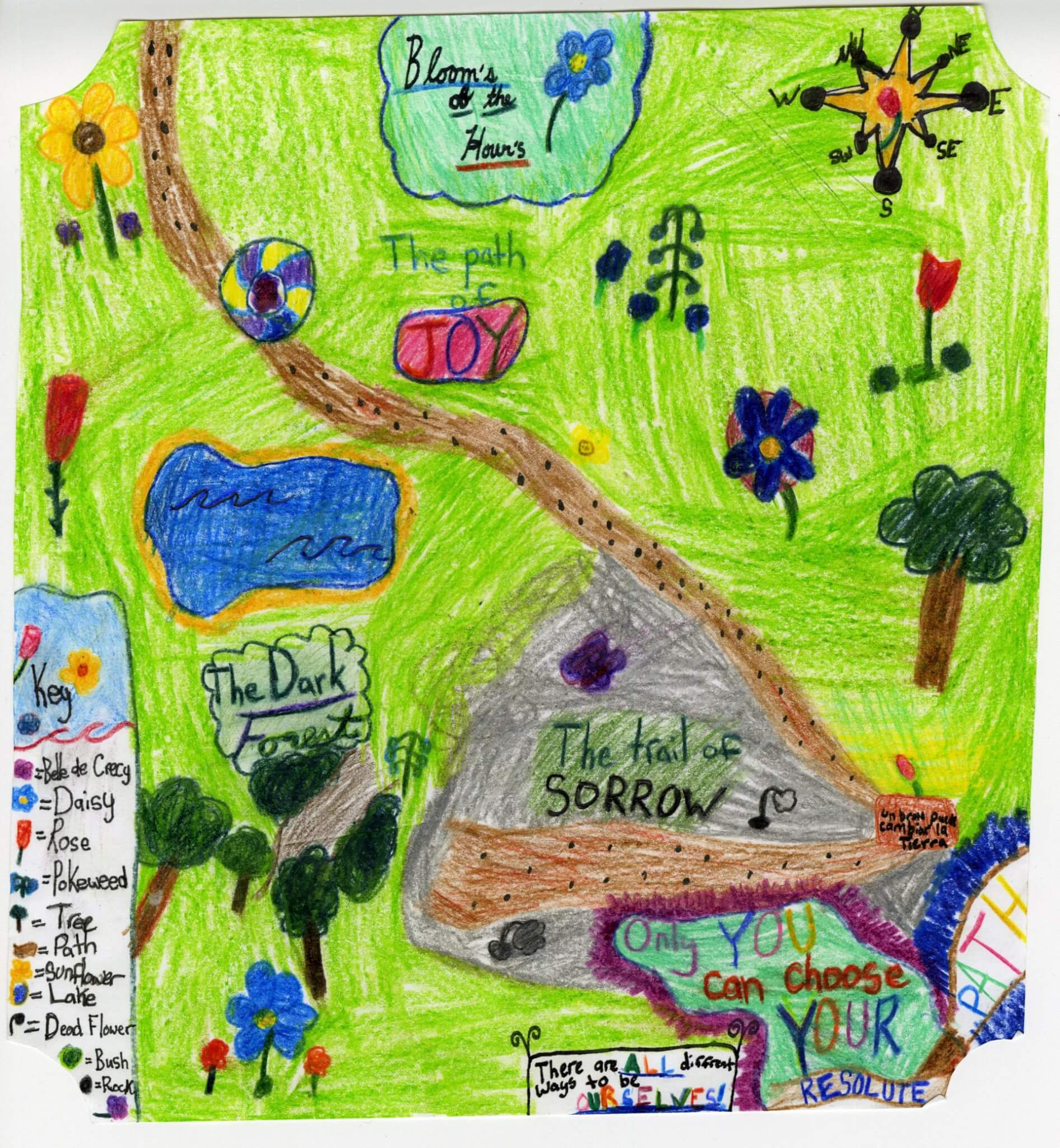
Caroline S. of Brunswick
Harriet Beecher Stowe Elem – 5th Grade.
See larger at https://oshermaps.org/wp-content/uploads/2025/05/25.005.jpg
The Seashell Isles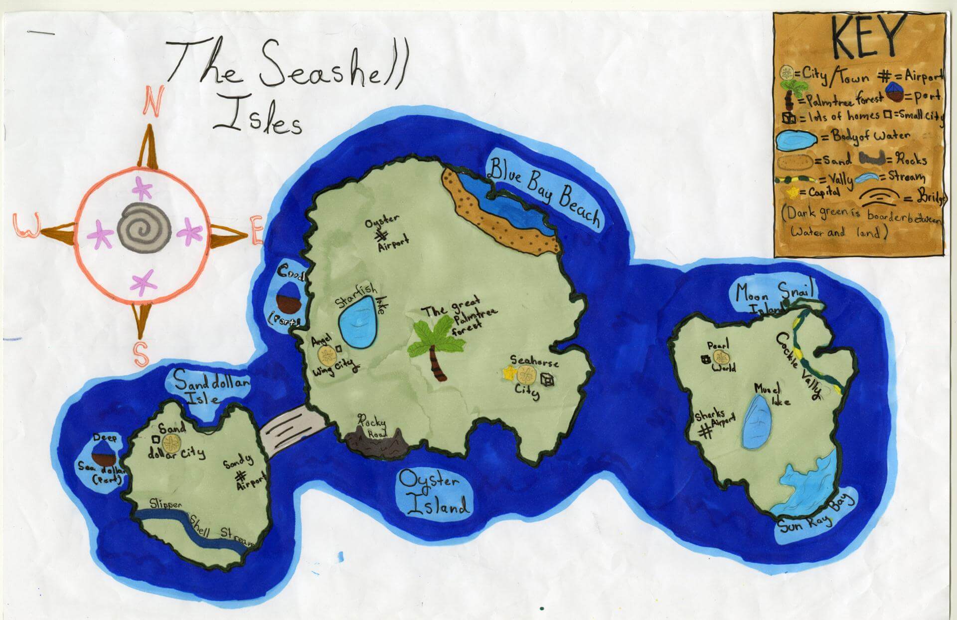
Cecilia M. of Yarmouth
Yarmouth Elementary – 5th Grade.
See larger at https://oshermaps.org/wp-content/uploads/2025/05/25.051.jpg
Fortigare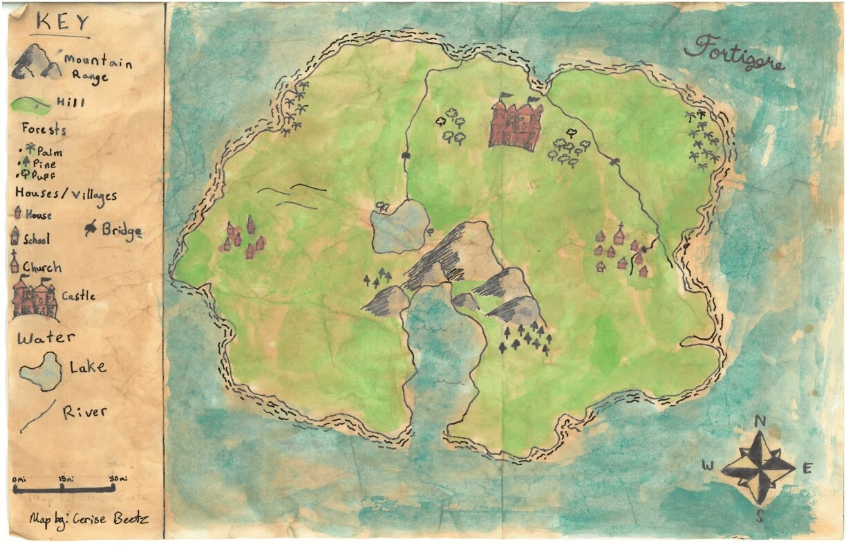
Cerise B. of York
York Middle School – 6th Grade.
See larger at https://oshermaps.org/wp-content/uploads/2025/05/25.324.jpg
Parrot Island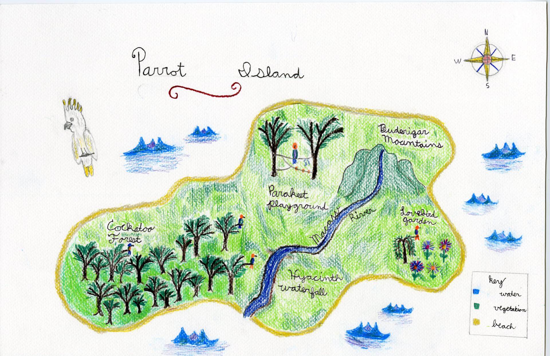
Charles J. of Portland
Homeschooled – 4th Grade.
See larger at https://oshermaps.org/wp-content/uploads/2025/05/25.030.jpg
Baby Kong Island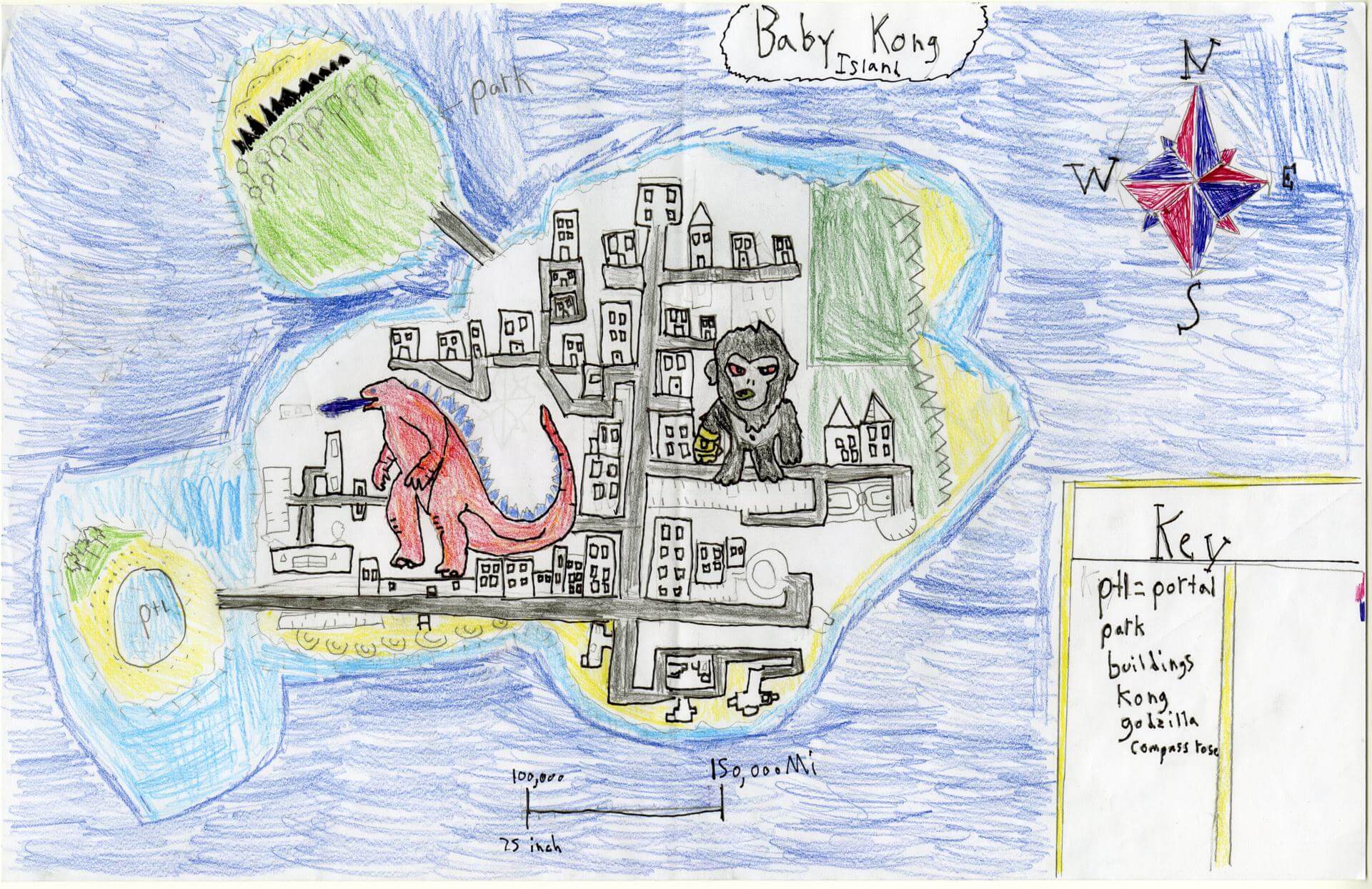
Charlie B. of Brunswick
Brunswick Junior High – 6th Grade.
See larger at https://oshermaps.org/wp-content/uploads/2025/05/25.162.jpg
Slug Island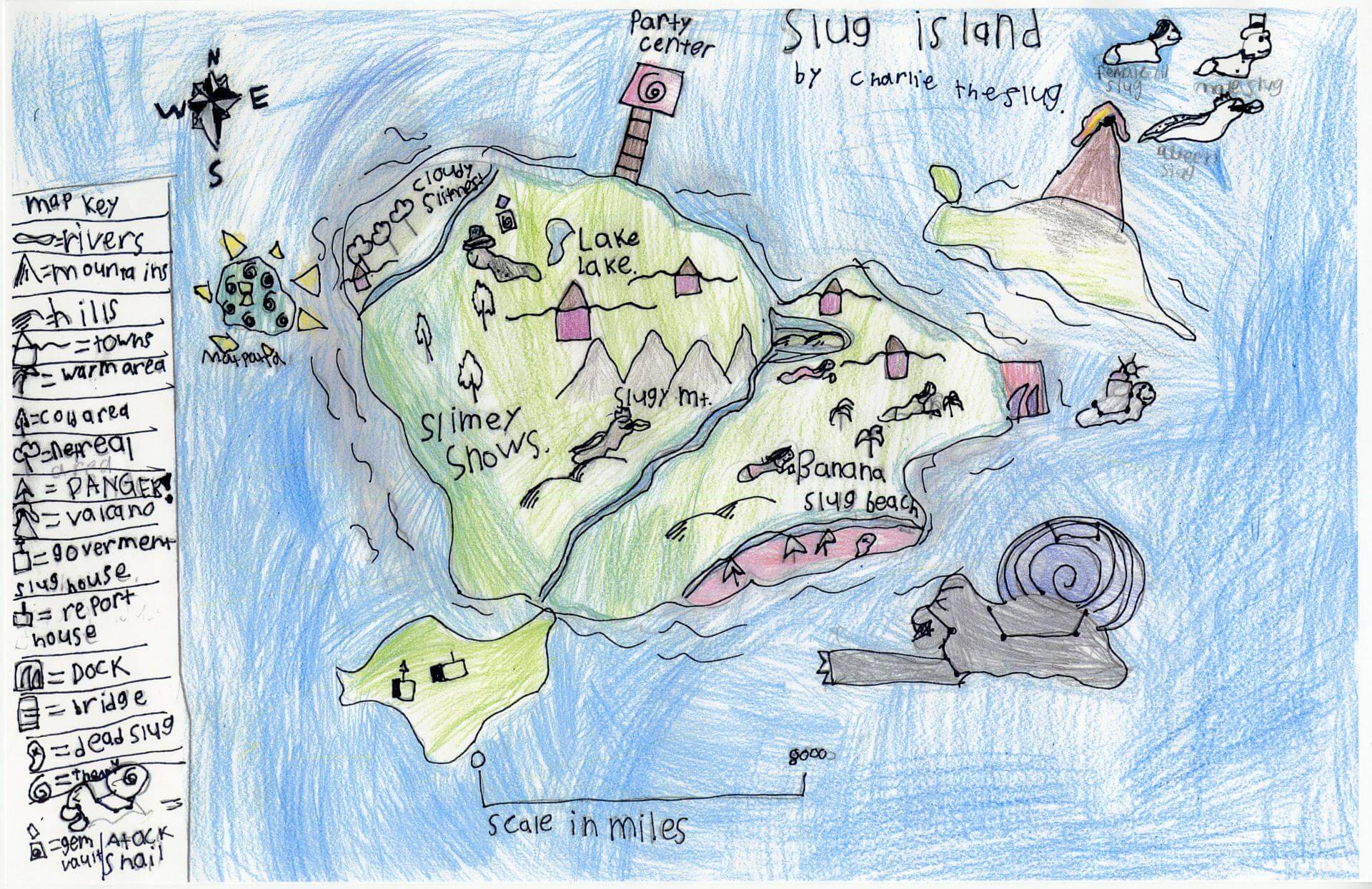
Charlie T. of South Berwick
Marshwood Great Works School – 4th Grade.
See larger at https://oshermaps.org/wp-content/uploads/2025/05/25.333.jpg
Monkey Island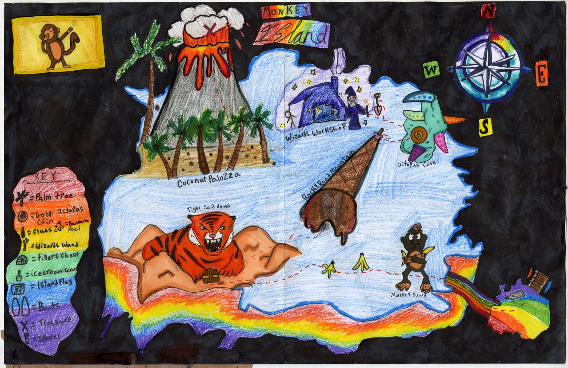
Charlie W. of Yarmouth
Yarmouth Elementary – 5th Grade.
See larger at https://oshermaps.org/wp-content/uploads/2025/05/25.045.jpg
Welcome to Westword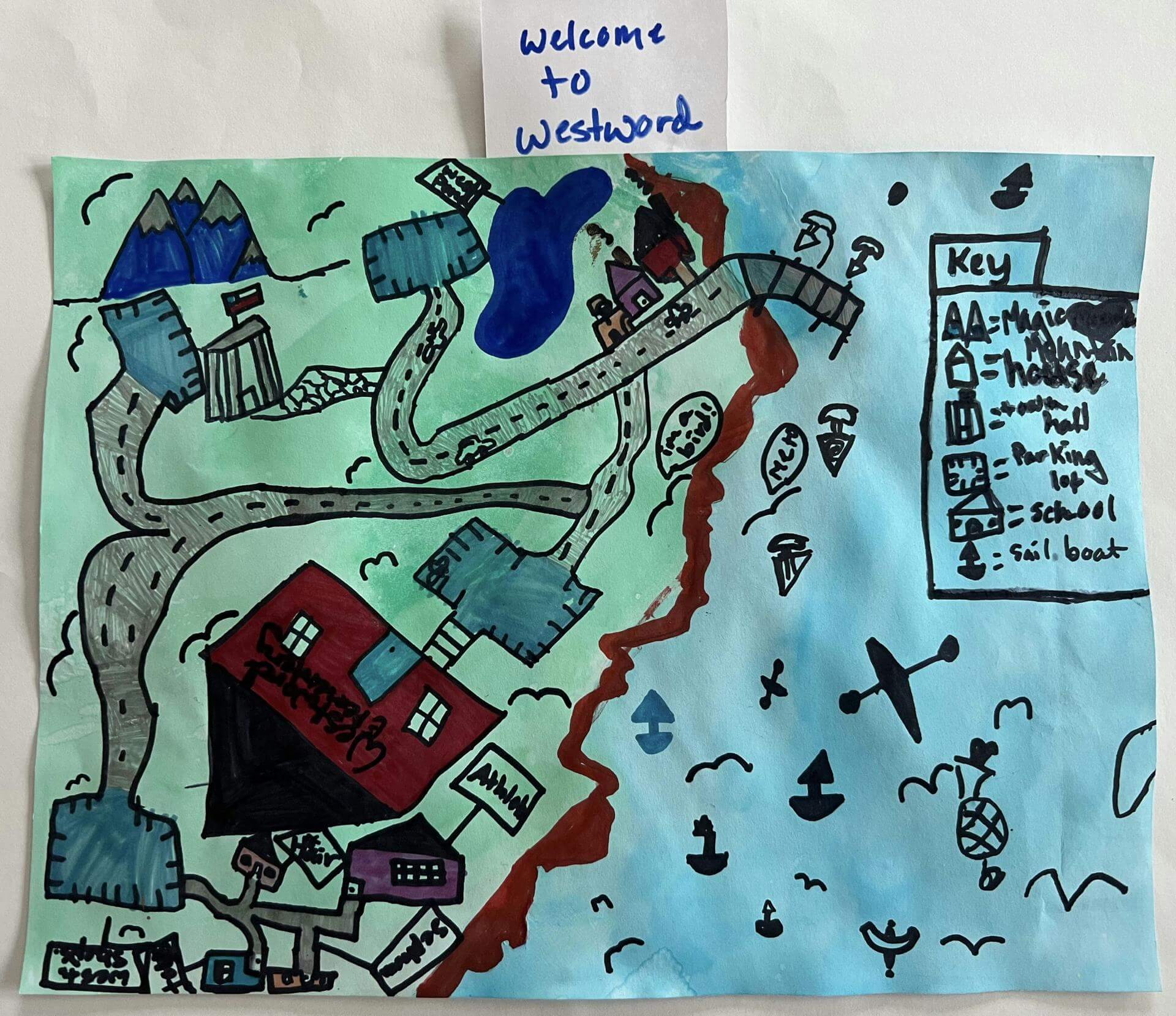
Charlotte F. of Falmouth
Falmouth Elementary School – 5th Grade.
See larger at https://oshermaps.org/wp-content/uploads/2025/05/25.308.jpg
Endless Childhood Cove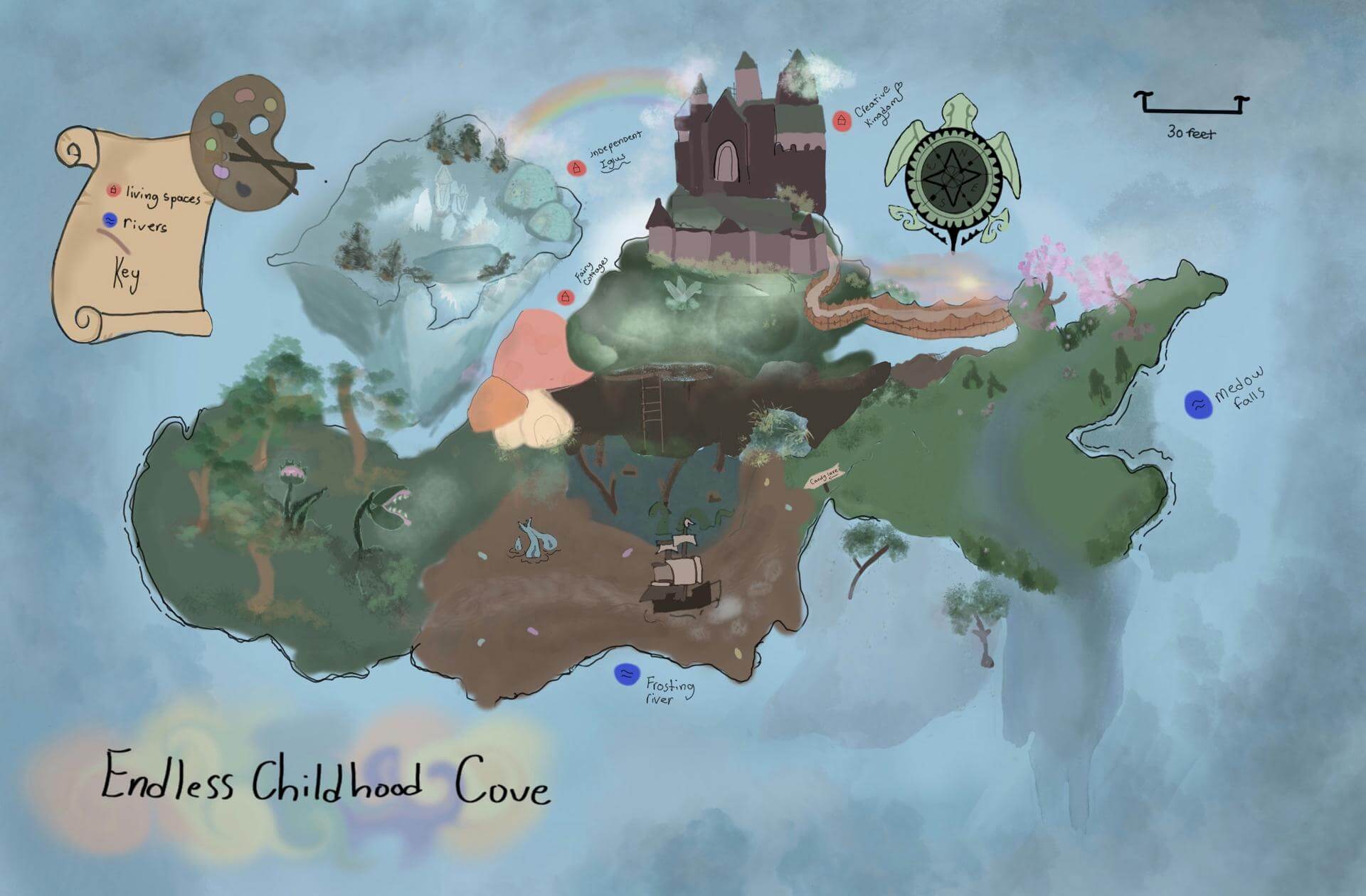
Charlotte G. of Brunswick
Brunswick Junior High School – 6th Grade.
See larger at https://oshermaps.org/wp-content/uploads/2025/05/25.258.jpg
Dessert Island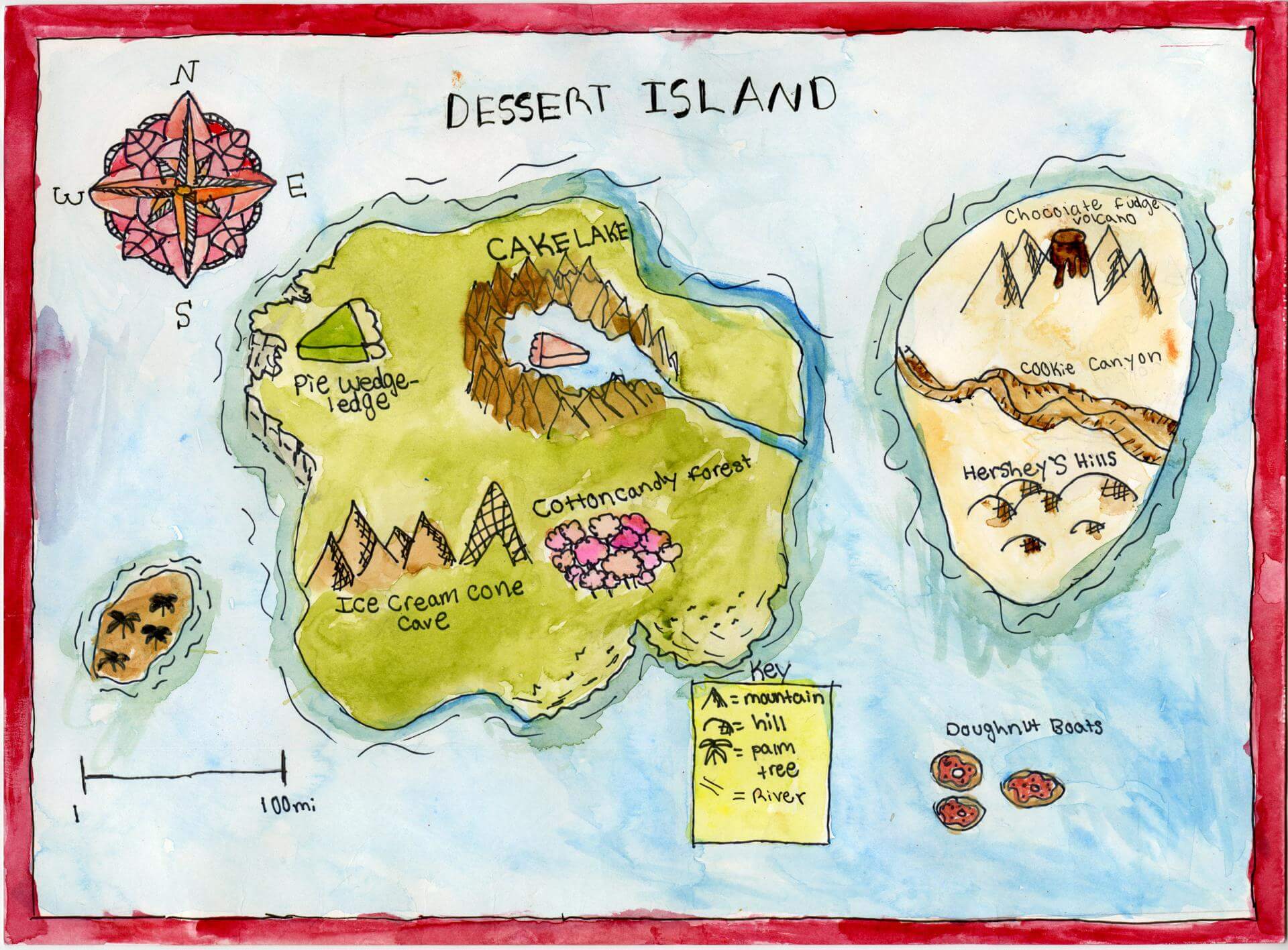
Charlotte G. of Brunswick
Brunswick Jr. High – 6th Grade.
See larger at https://oshermaps.org/wp-content/uploads/2025/05/25.092.jpg
Anta Island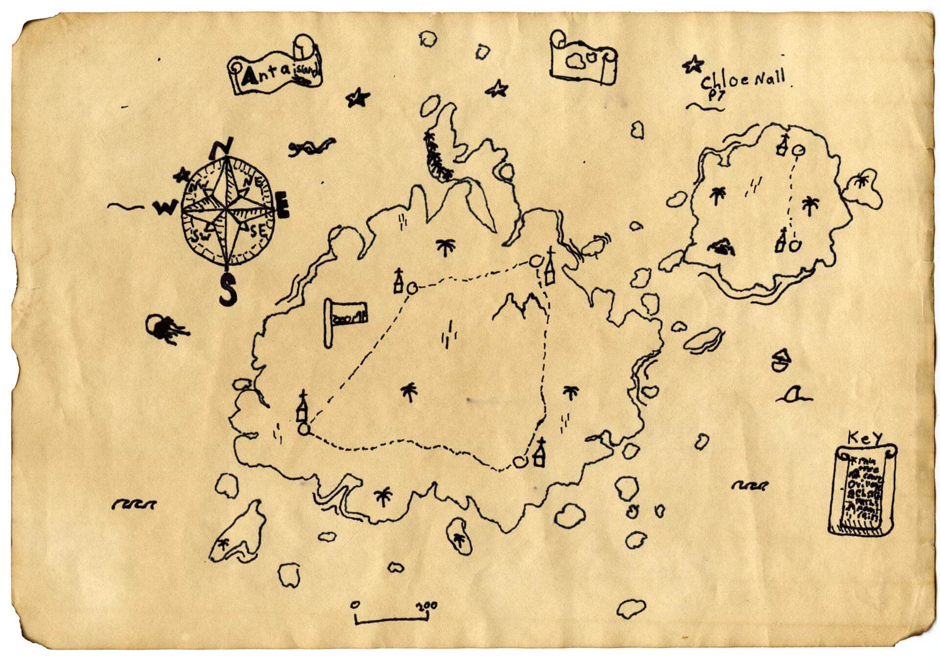
Chloe N. of Brunswick
Brunswick Jr. High – 6th Grade.
See larger at https://oshermaps.org/wp-content/uploads/2025/05/25.082.jpg
Horror Haven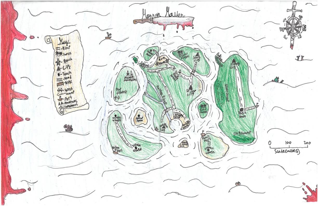
Claire H. of York
York Middle School – 6th Grade.
See larger at https://oshermaps.org/wp-content/uploads/2025/05/25.271.jpg
Impossible Island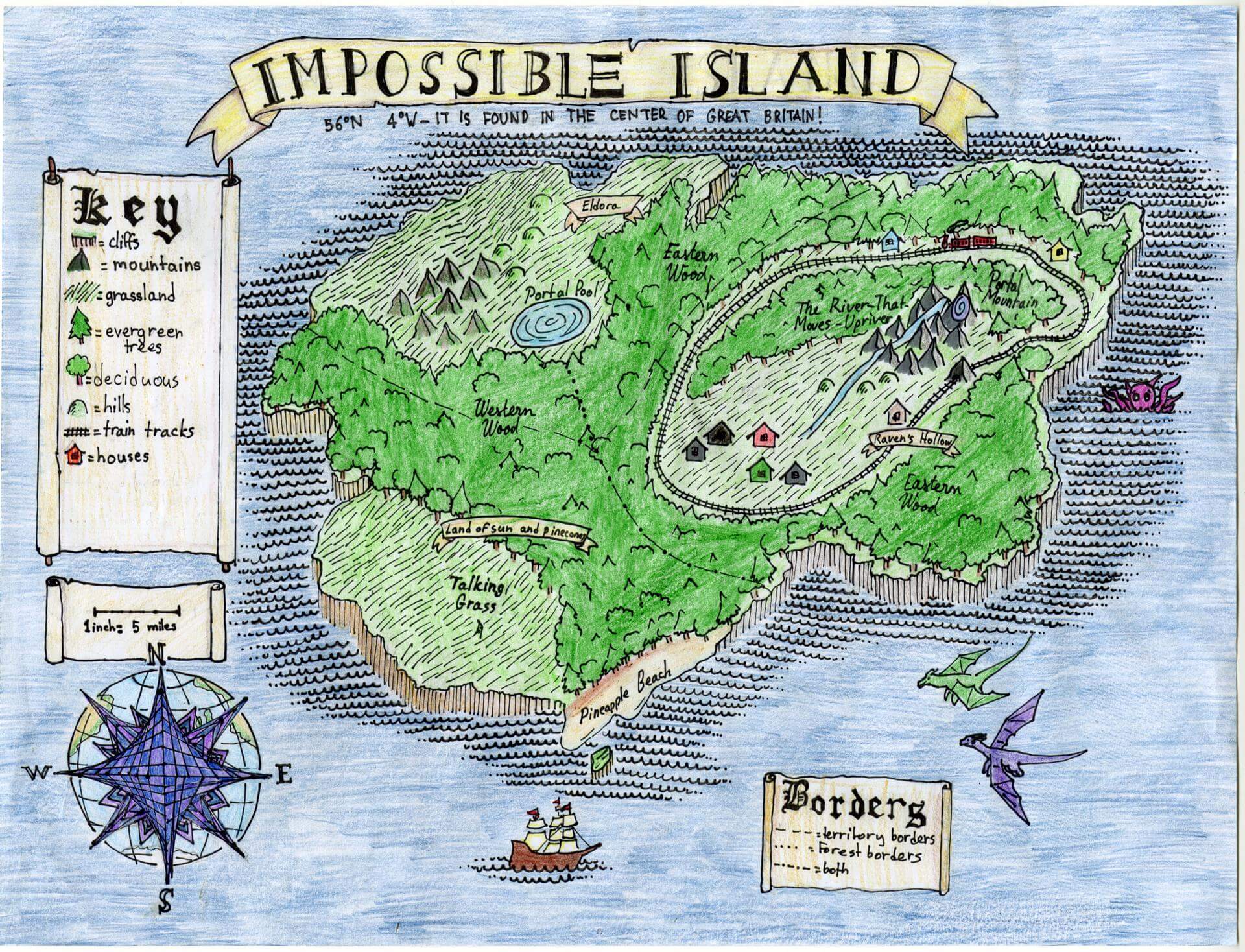
Claire J. of Brunswick
Brunswick Jr. High – 6th Grade.
See larger at https://oshermaps.org/wp-content/uploads/2025/05/25.133.jpg
Whats (Really) the end of the Rainbow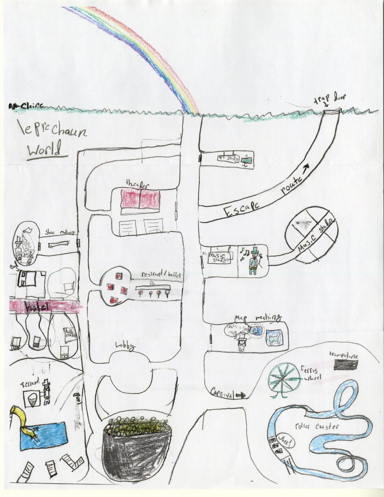
Claire M. of Falmouth
Falmouth Elementary School – 4th Grade.
See larger at https://oshermaps.org/wp-content/uploads/2025/05/25.196.jpg
Fantasy Island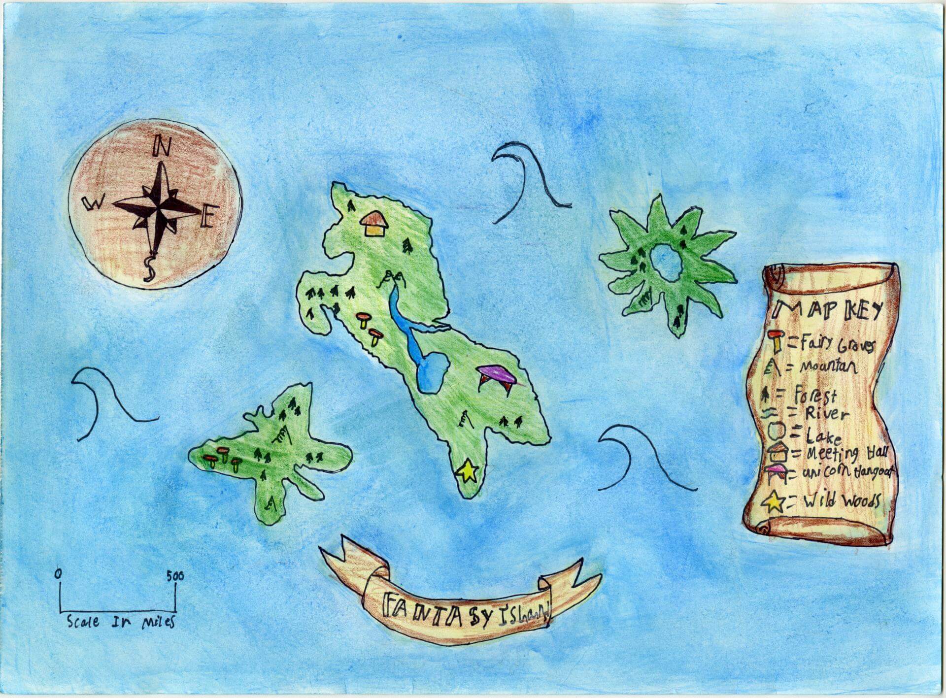
Claire M. of Brunswick
Brunswick Jr. High – 6th Grade.
See larger at https://oshermaps.org/wp-content/uploads/2025/05/25.088.jpg
Holistic Island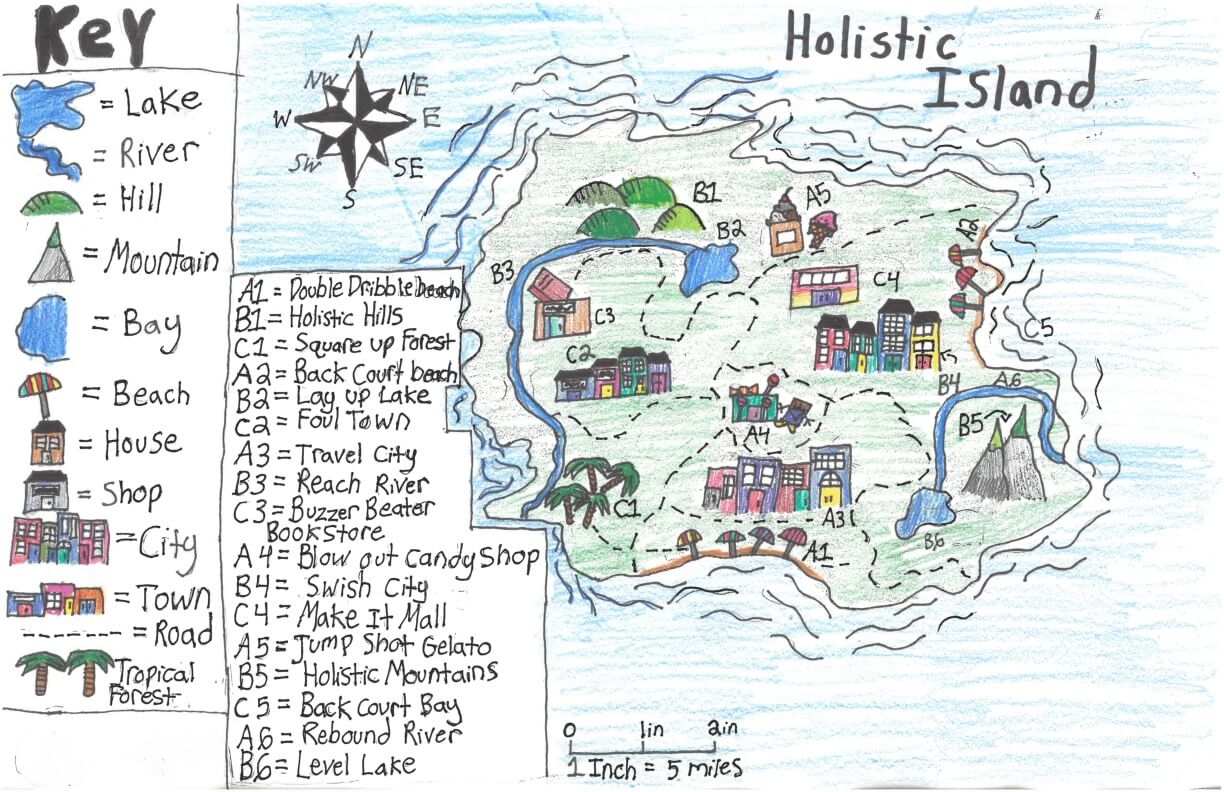
Claire T. of York
York Middle School – 6th Grade.
See larger at https://oshermaps.org/wp-content/uploads/2025/05/25.289.jpg
Fairy Island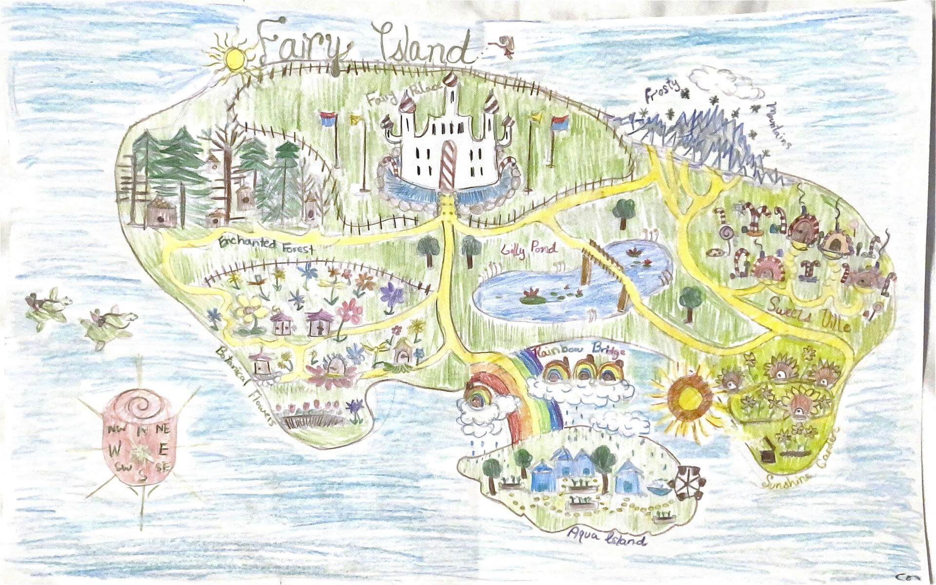
Clara F. of Brunswick
Harriett Beecher Stowe School in Brunswick, ME – 4th Grade.
See larger at https://oshermaps.org/wp-content/uploads/2025/05/25.326.jpg
Brookland Island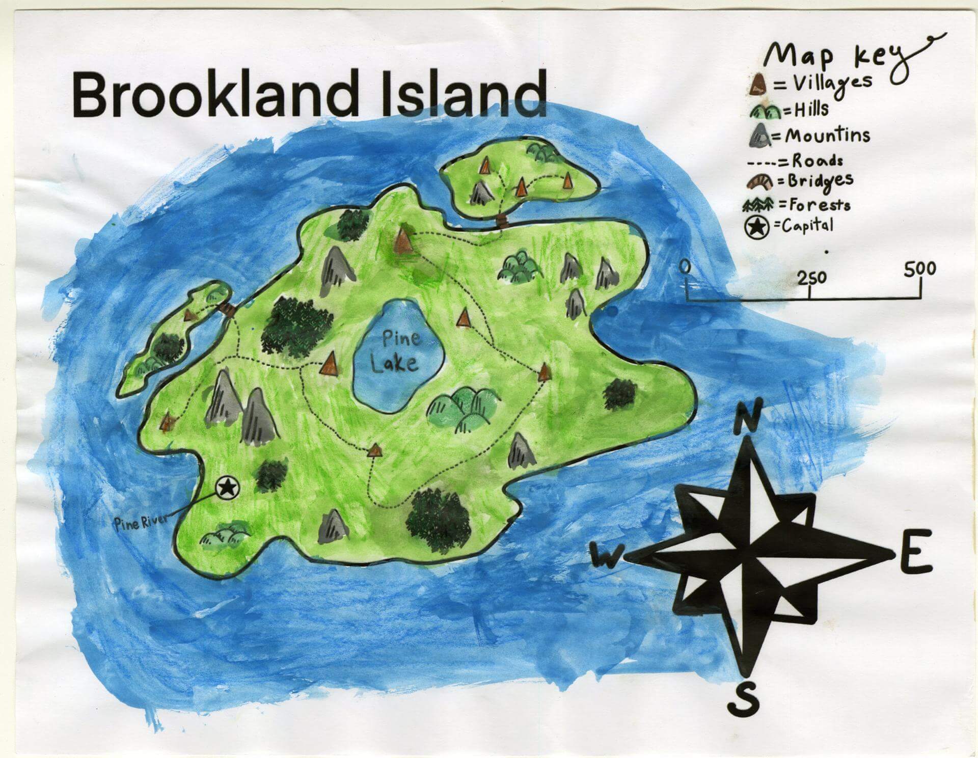
Claudia K. of Gorham
Narragansett Elementary – 4th Grade.
See larger at https://oshermaps.org/wp-content/uploads/2025/05/25.127.jpg
Nebula Isle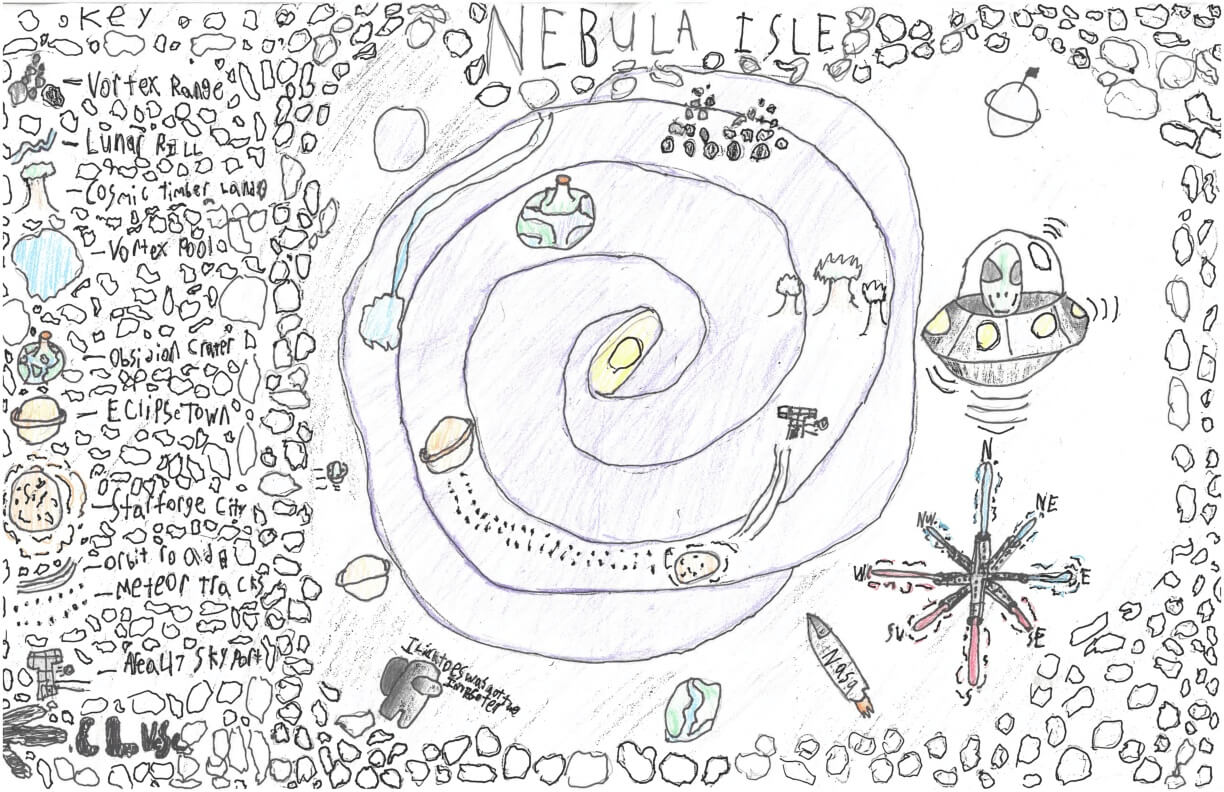
Clive P. of York
York Middle School – 6th Grade.
See larger at https://oshermaps.org/wp-content/uploads/2025/05/25.314.jpg
Crumberland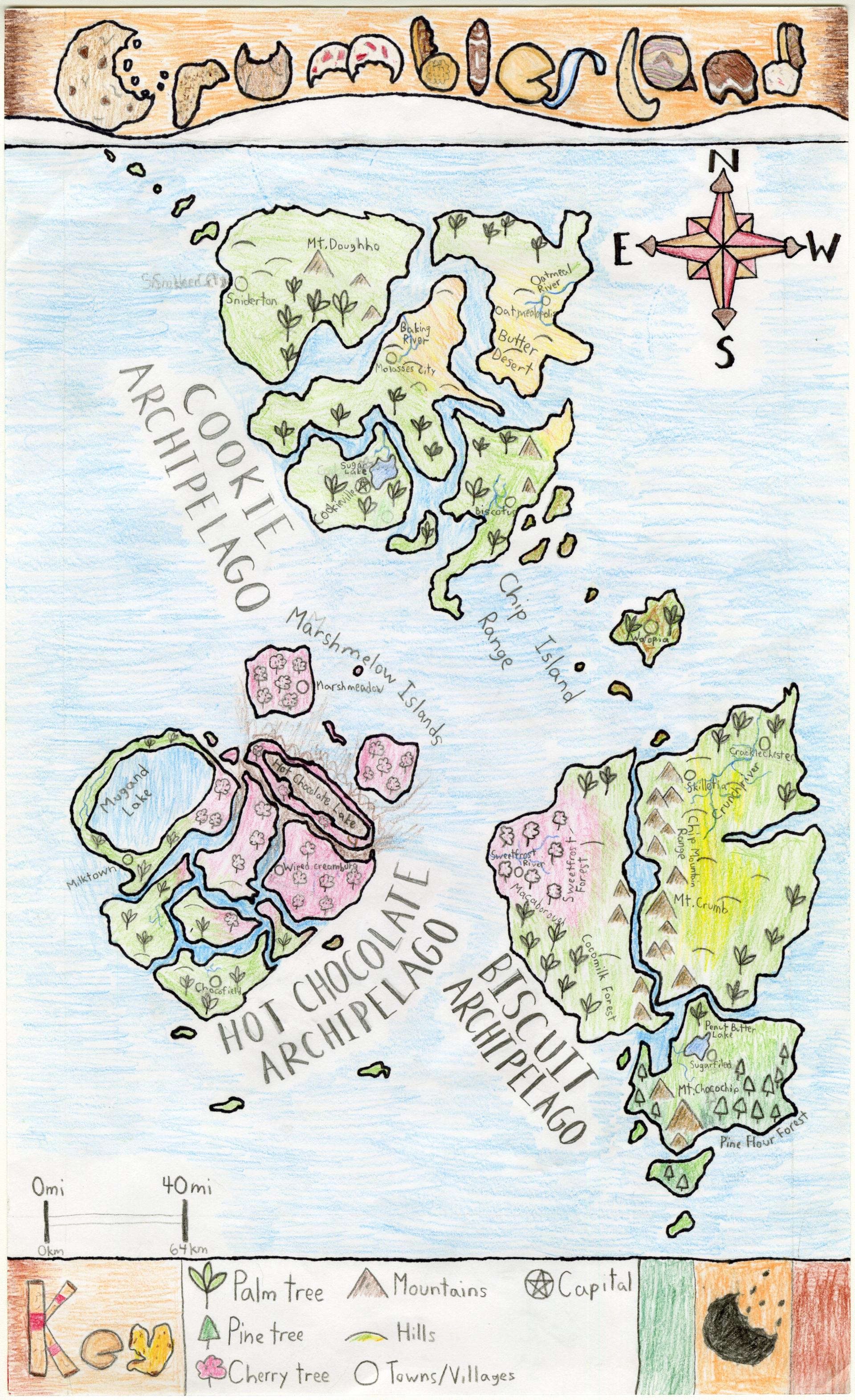
Cody L. of Brunswick
Brunswick Jr. High – 6th Grade.
See larger at https://oshermaps.org/wp-content/uploads/2025/05/25.178.jpg
Sky-Land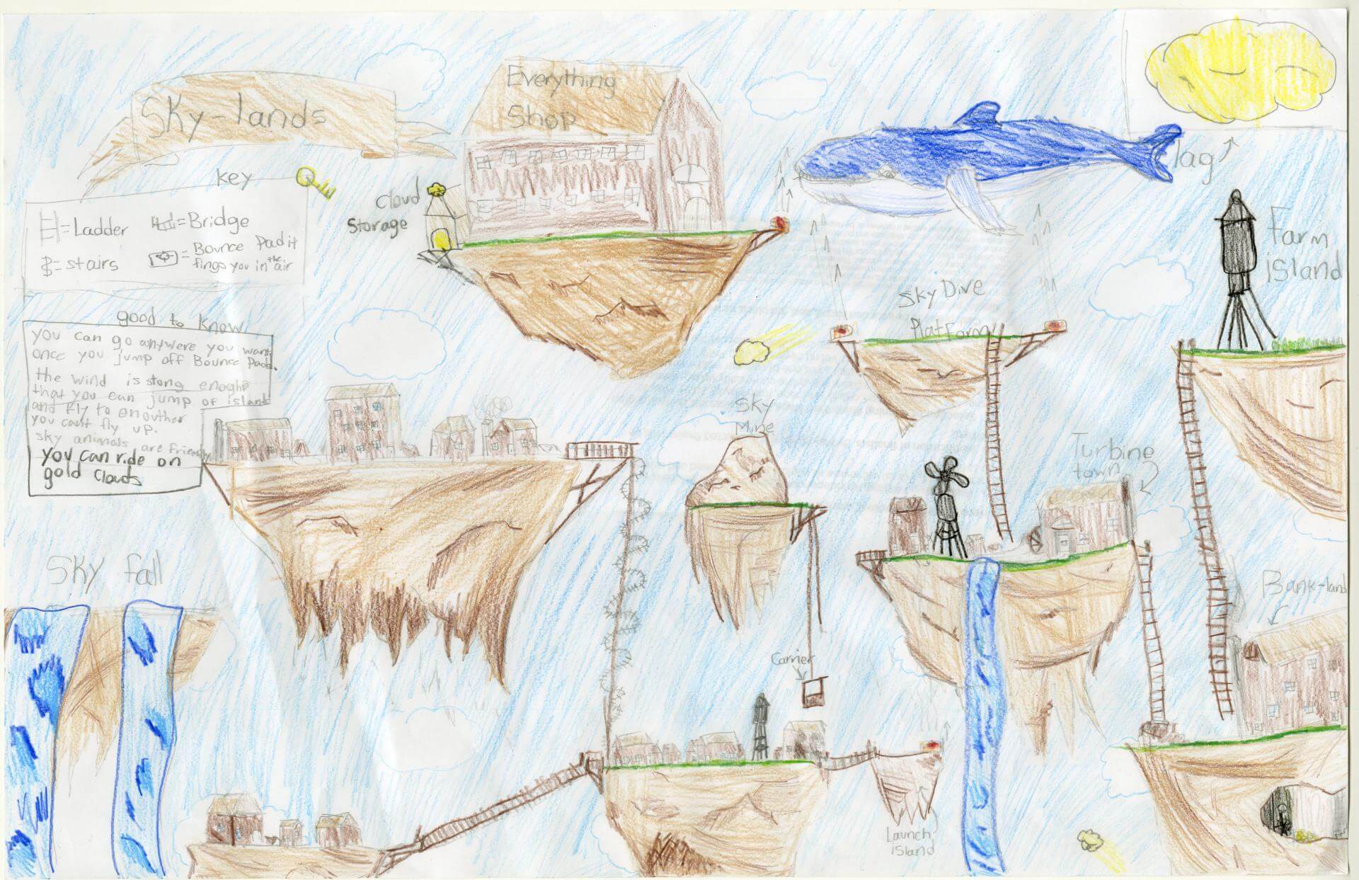
Cole H. of Yarmouth
Yarmouth Elementary – 5th Grade.
See larger at https://oshermaps.org/wp-content/uploads/2025/05/25.049.jpg
Ancient Isles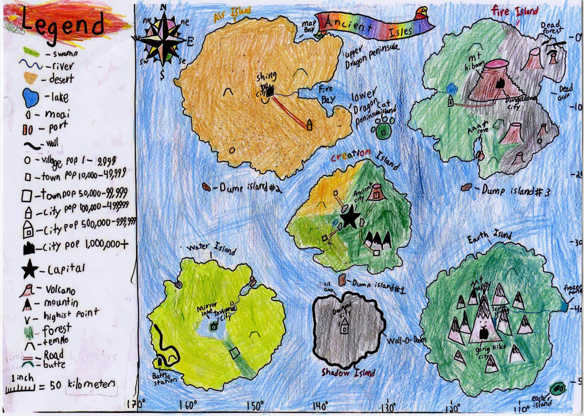
Cooper M. of Yarmouth
Yarmouth Elementary – 5th Grade.
See larger at https://oshermaps.org/wp-content/uploads/2025/05/25.064.jpg
Three Rivers Island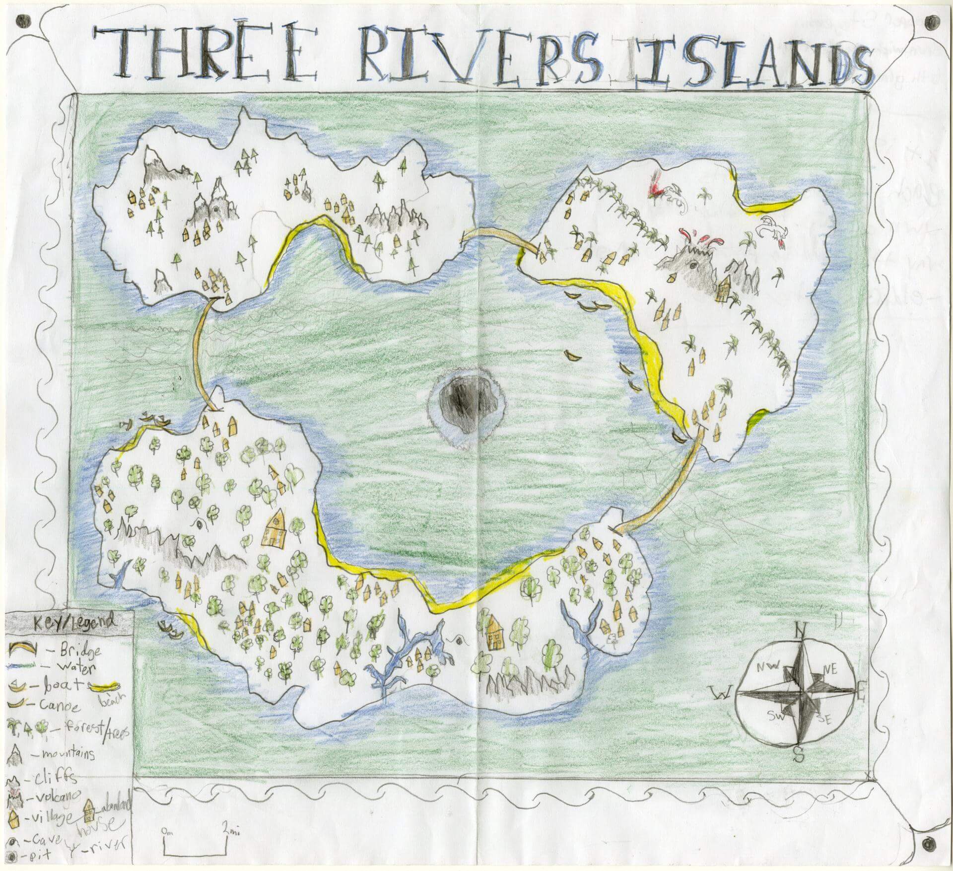
Cooper S. of Brunswick
Brunswick Jr. High – 6th Grade.
See larger at https://oshermaps.org/wp-content/uploads/2025/05/25.135.jpg
Bird Island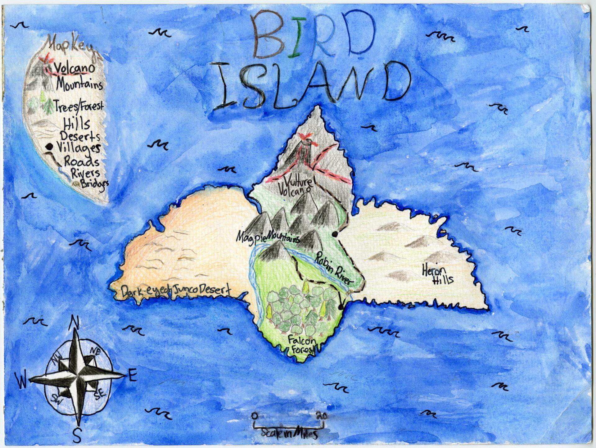
Corinne C. of Brunswick
Brunswick Jr. High – 6th Grade.
See larger at https://oshermaps.org/wp-content/uploads/2025/05/25.139.jpg
Duggan Isle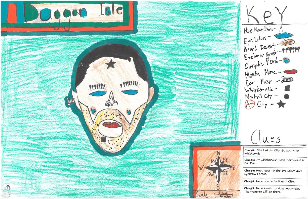
Cory S. of York
York Middle School – 6th Grade.
See larger at https://oshermaps.org/wp-content/uploads/2025/05/25.286.jpg
Maine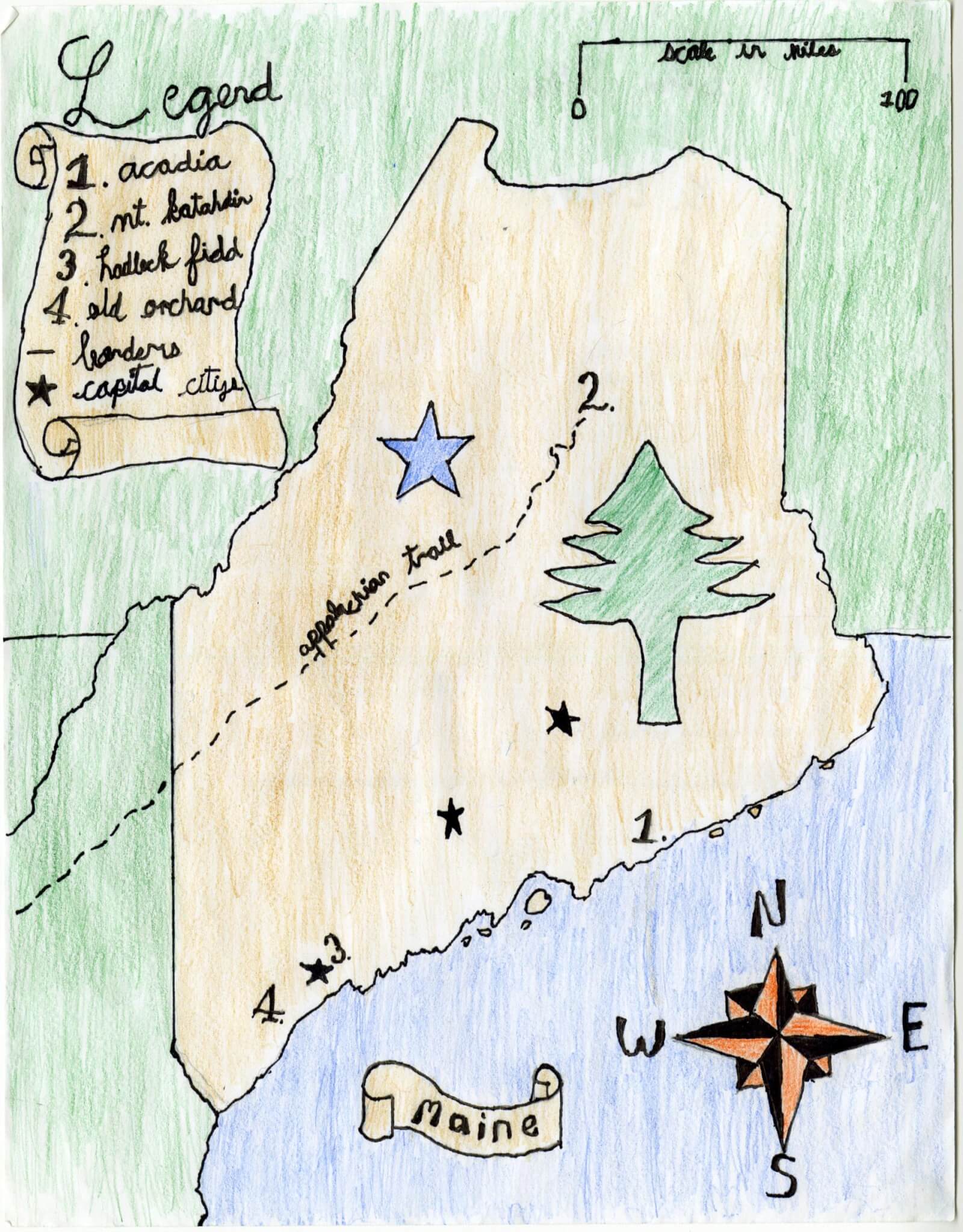
Cullen S. of Brunswick
Brunswick Jr. High – 6th Grade.
See larger at https://oshermaps.org/wp-content/uploads/2025/05/25.111.jpg
Athlete’s Island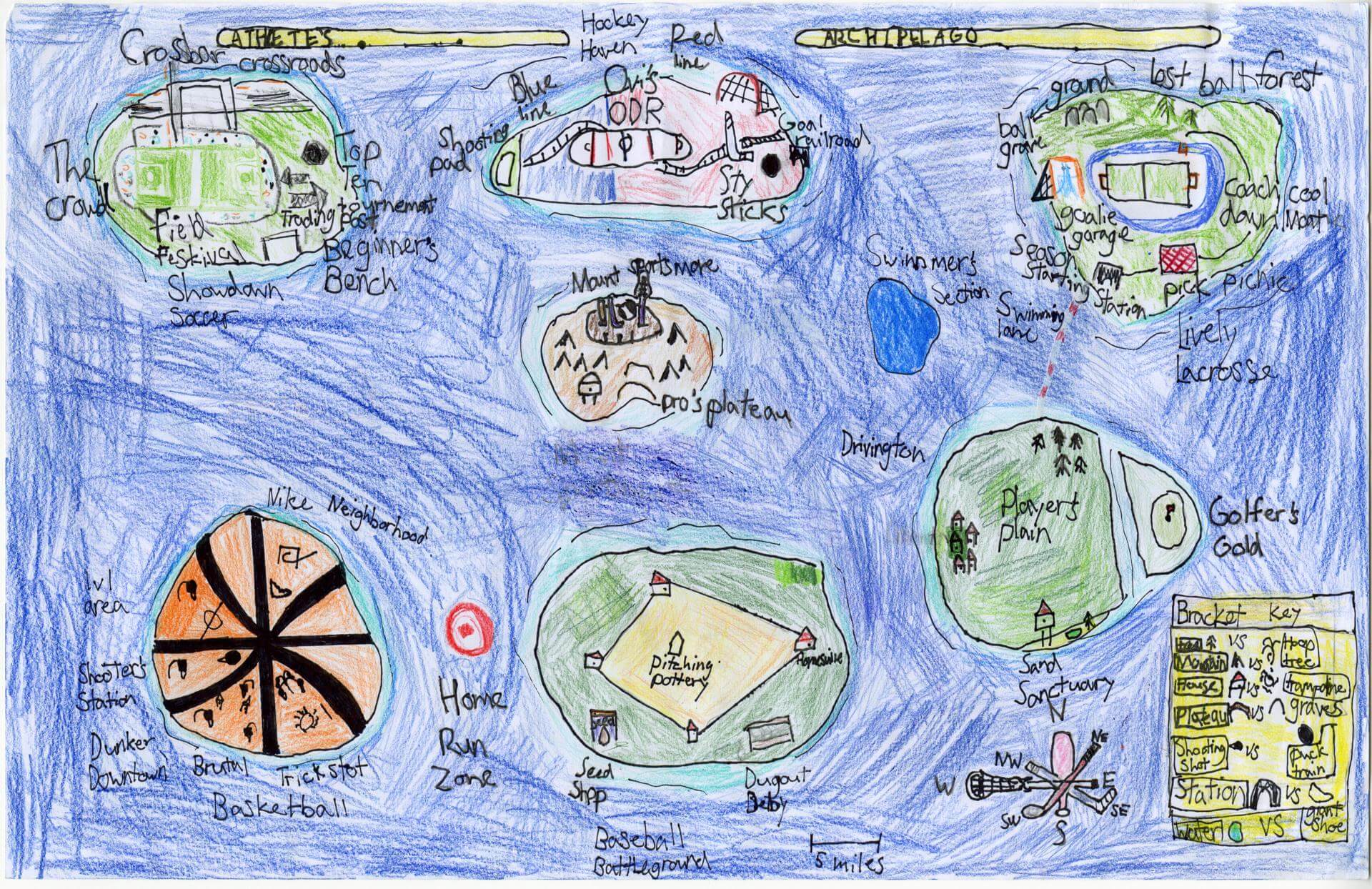
Curren M. of Brunswick
Brunswick Junior High – 6th Grade.
See larger at https://oshermaps.org/wp-content/uploads/2025/05/25.175.jpg
Pirates Island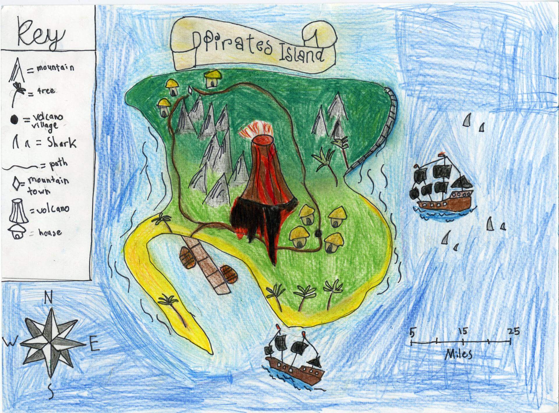
Daniel L. of Brunswick
Brunswick Jr. High – 6th Grade.
See larger at https://oshermaps.org/wp-content/uploads/2025/05/25.089.jpg
Rainbow Sea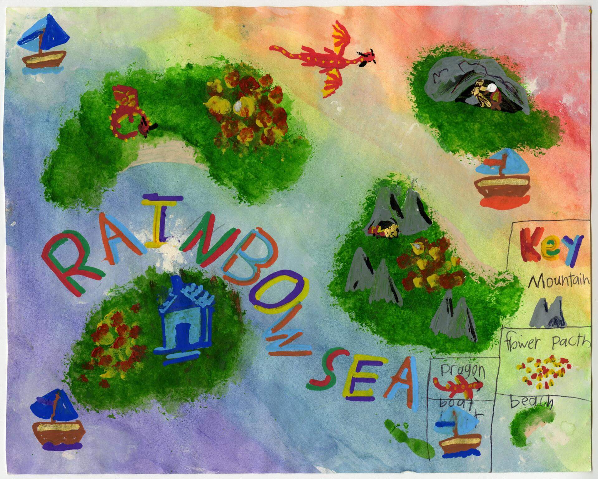
Darcy Q. of Brunswick
Harriet Beecher Stowe Elem – 5th Grade.
See larger at https://oshermaps.org/wp-content/uploads/2025/05/25.010.jpg
Medival Times
Davina L. of Gorham
Great Falls – 4th Grade.
See larger at https://oshermaps.org/wp-content/uploads/2025/05/25.180.jpg
Fantasy Archipelago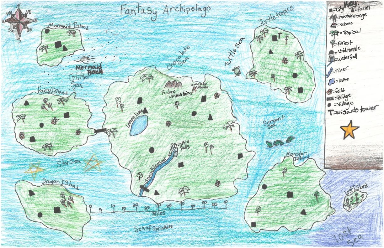
Della A. of York
York Middle School – 6th Grade.
See larger at https://oshermaps.org/wp-content/uploads/2025/05/25.285.jpg
Mouth Island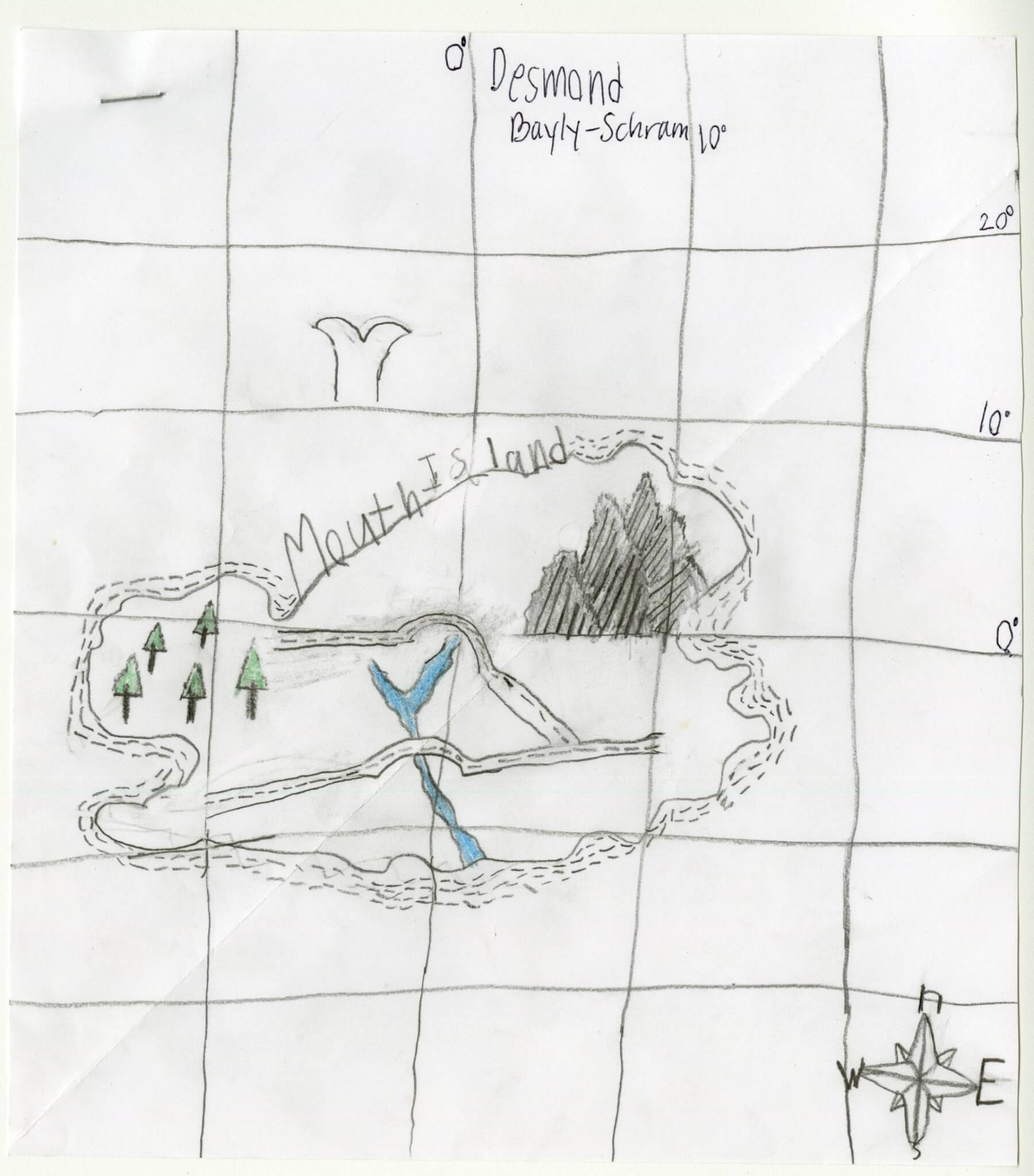
Desmond B. of Gorham
Great Falls Elementary – 4th Grade.
See larger at https://oshermaps.org/wp-content/uploads/2025/05/25.177.jpg
Long Island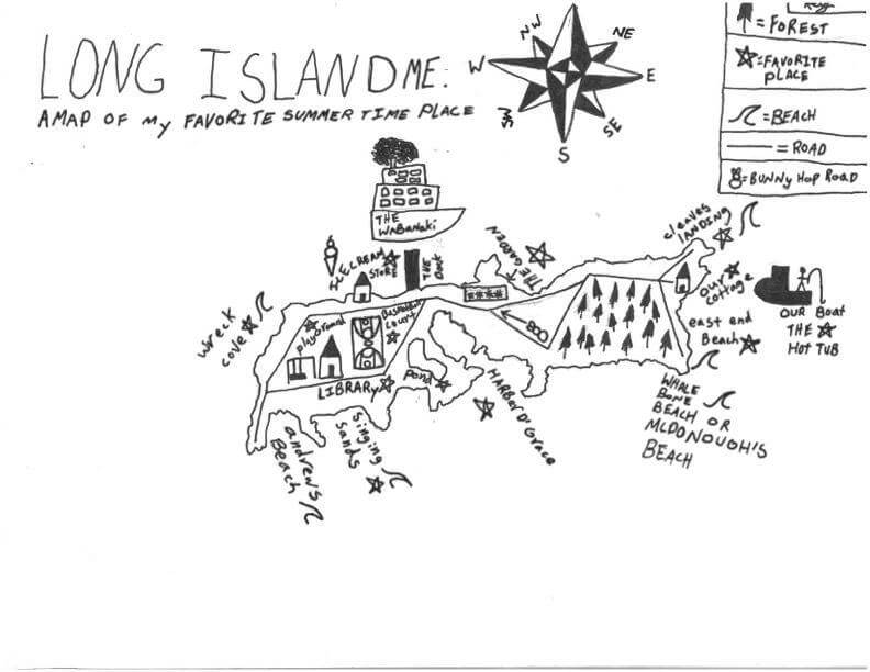
Desmond D. of Freeport
Maine Coast Waldorf School – 4th Grade.
See larger at https://oshermaps.org/wp-content/uploads/2025/05/25.313.jpg
Golden Temple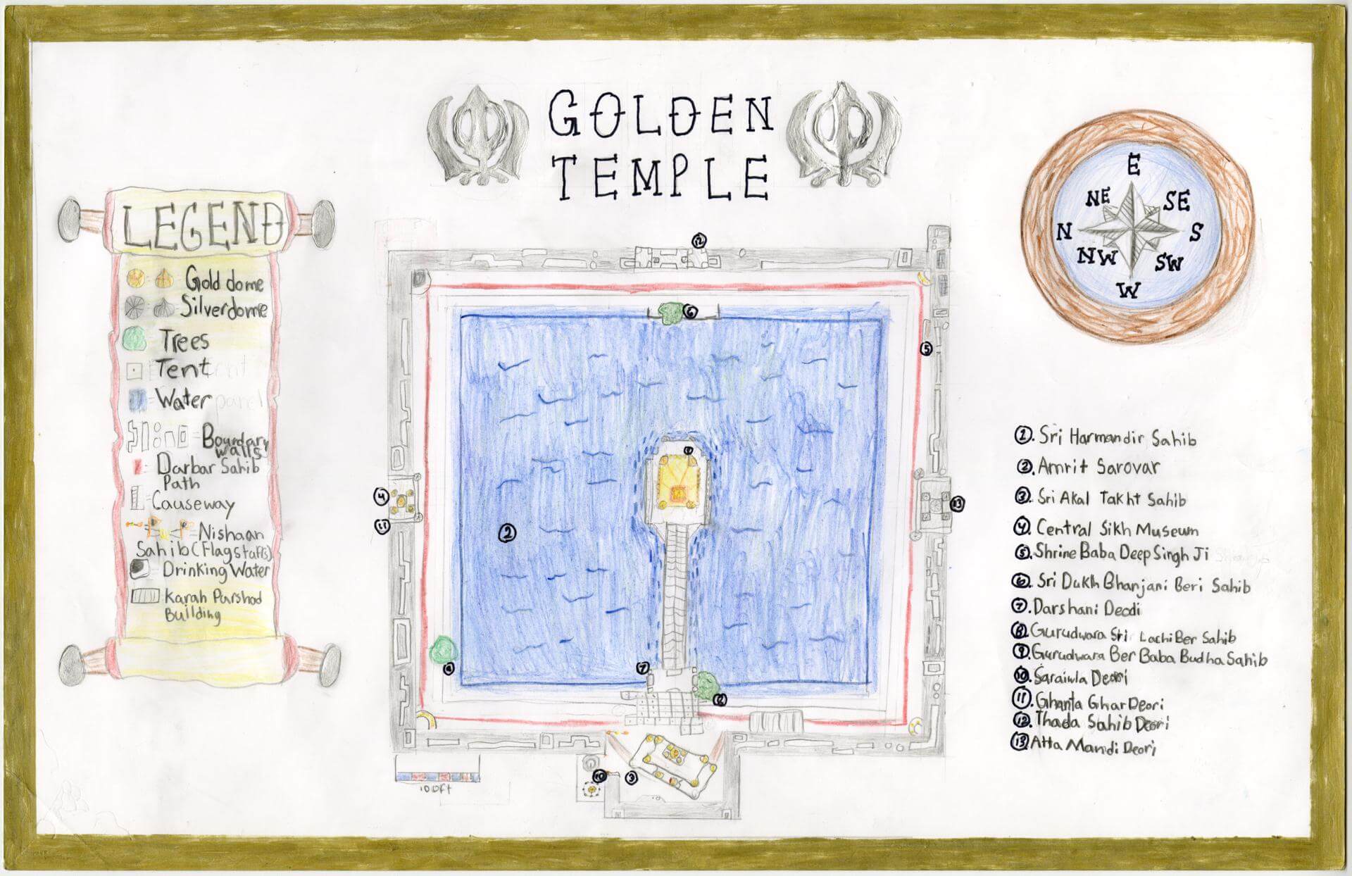
Dhianbir K. of Brunswick
Brunswick Junior High – 6th Grade.
See larger at https://oshermaps.org/wp-content/uploads/2025/05/25.170.jpg
Tropical Haven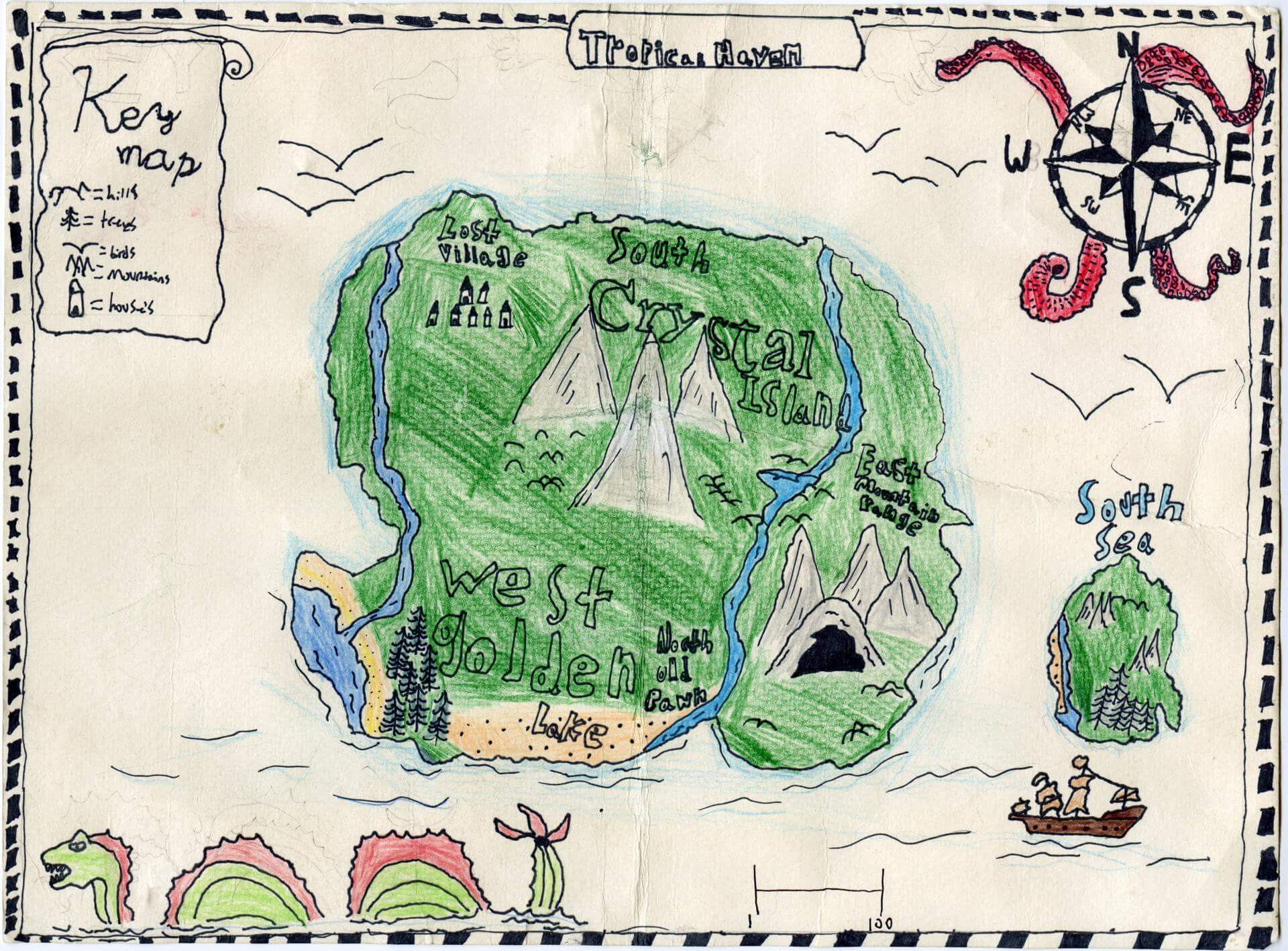
Dominic D. of Brunswick
Brunswick Jr. High – 6th Grade.
See larger at https://oshermaps.org/wp-content/uploads/2025/05/25.097.jpg
The War Islands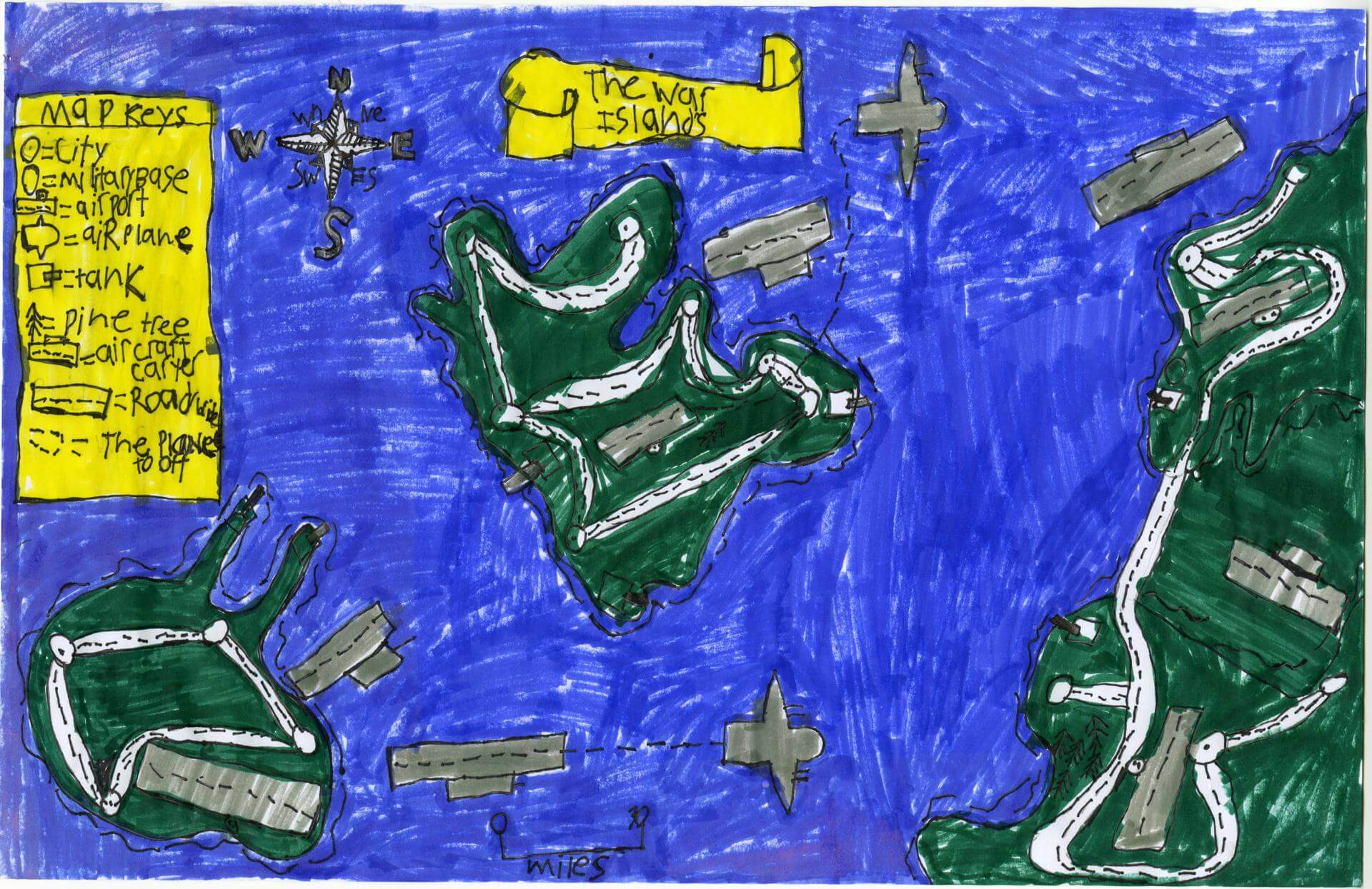
Donald M. of Brunswick
Brunswick Jr. High – 6th Grade.
See larger at https://oshermaps.org/wp-content/uploads/2025/05/25.102.jpg
The Wildlands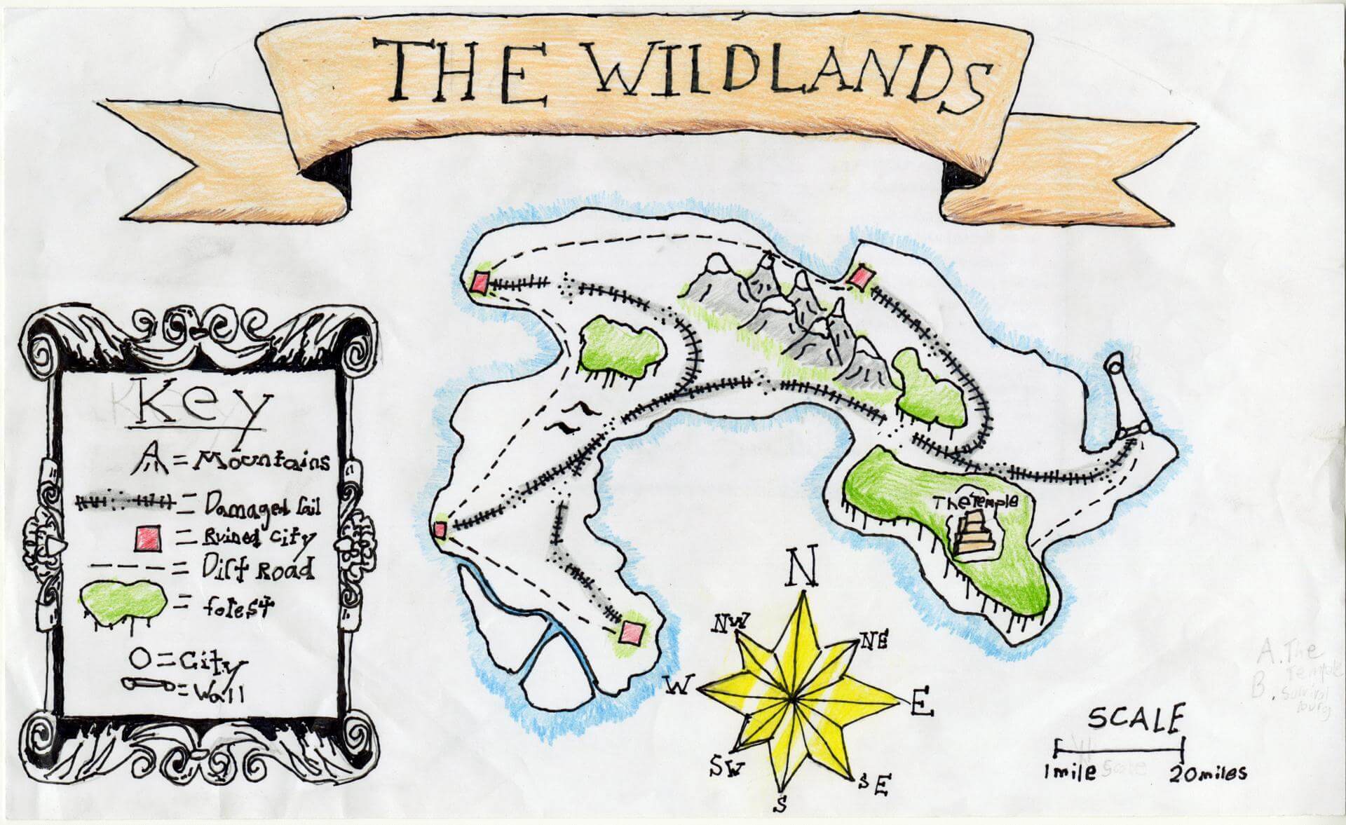
Donovan C. of Brunswick
Brunswick Jr. High – 6th Grade.
See larger at https://oshermaps.org/wp-content/uploads/2025/05/25.085.jpg
Springfield Island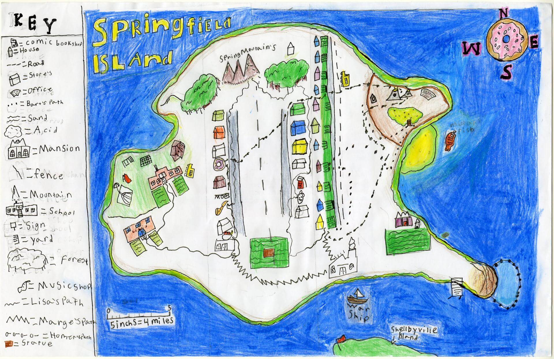
Ebba C. of Brunswick
Brunswick Junior High – 6th Grade.
See larger at https://oshermaps.org/wp-content/uploads/2025/05/25.164.jpg
The Tintopyin Islands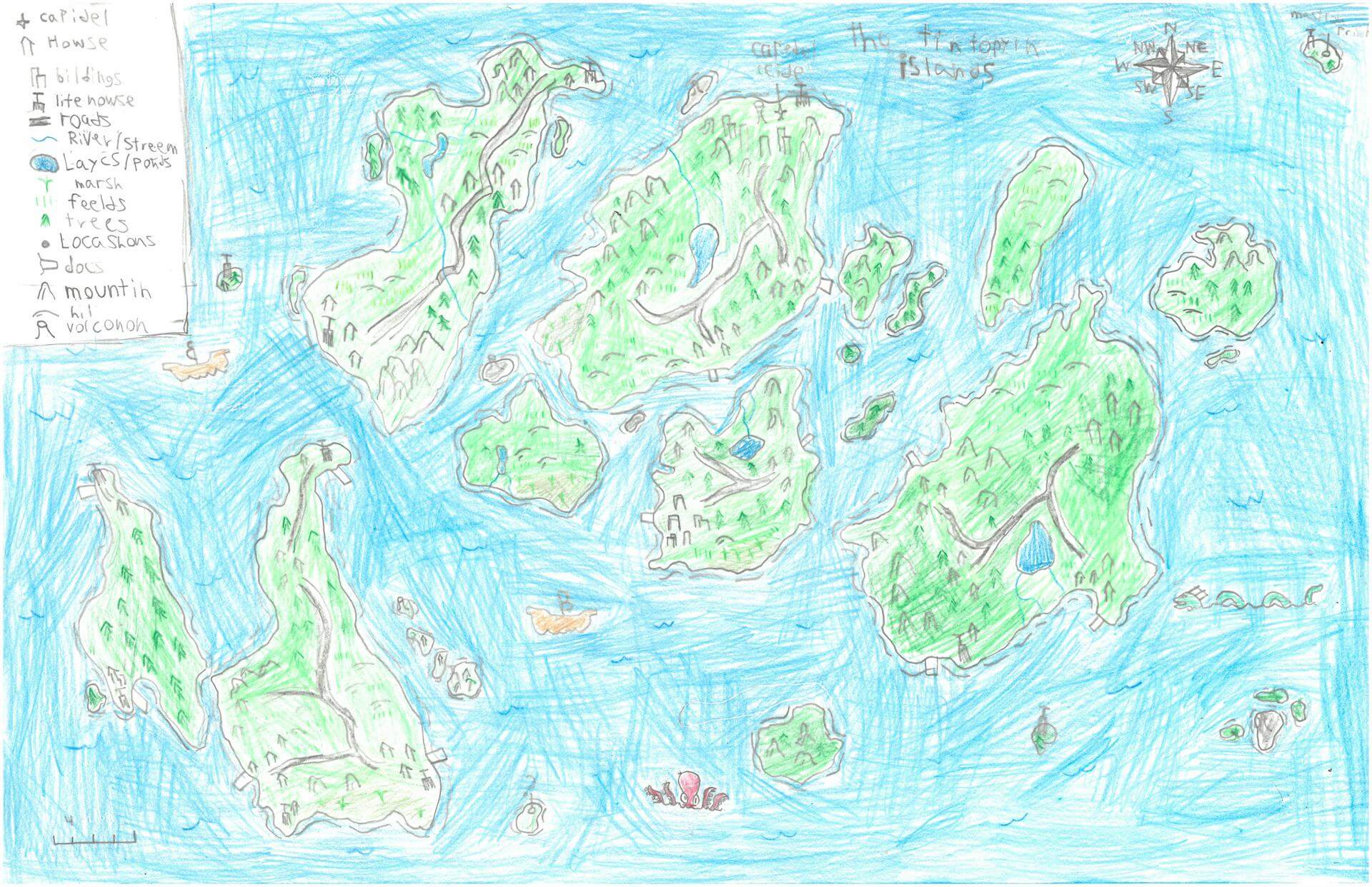
Eben L. of Alna
Great Salt Bay School – 5th Grade.
See larger at https://oshermaps.org/wp-content/uploads/2025/05/25.300.jpg
Story World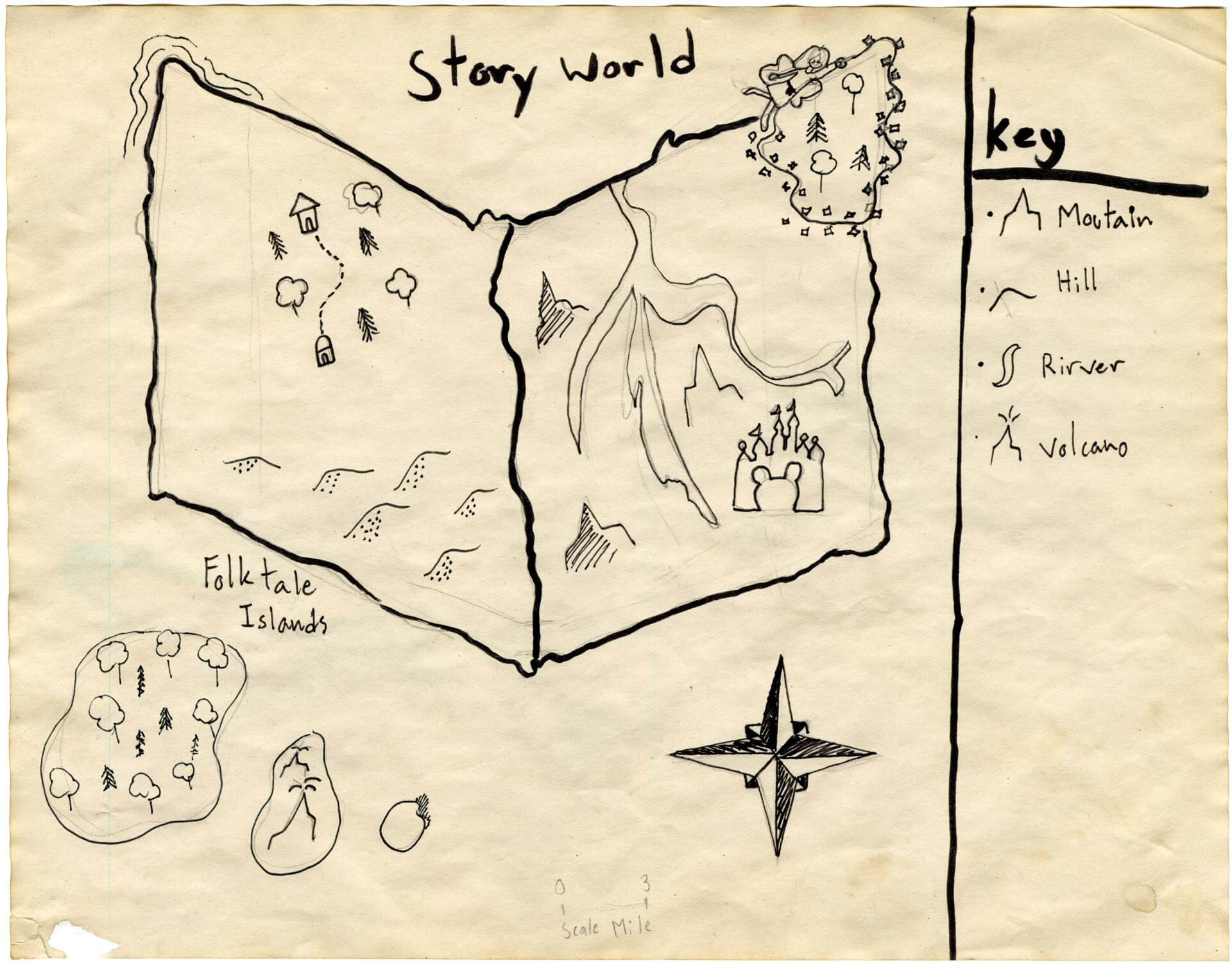
Eden M. of Brunswick
Brunswick Jr. High – 6th Grade.
See larger at https://oshermaps.org/wp-content/uploads/2025/05/25.105.jpg
Koi Island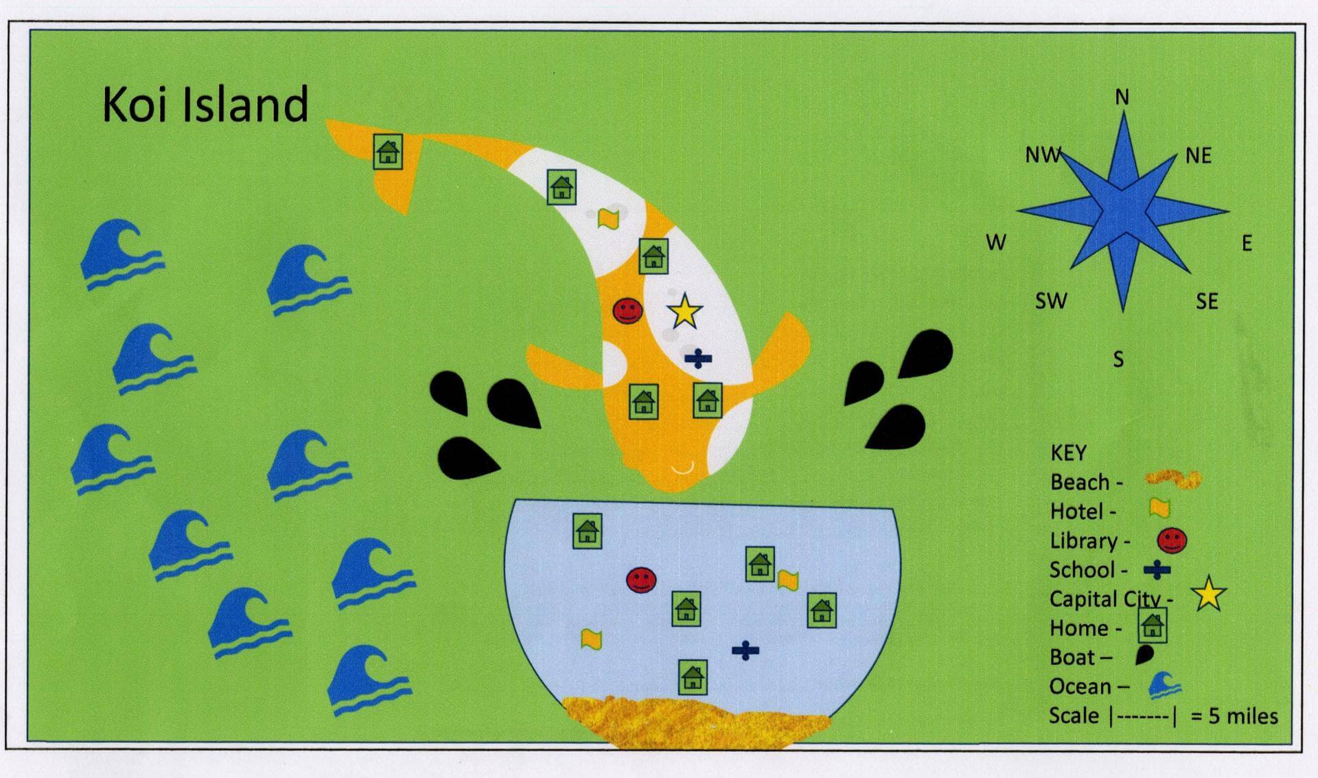
Eleanor S. of South Berwick
Marshwood Great Works School – 5th Grade.
See larger at https://oshermaps.org/wp-content/uploads/2025/05/25.031.jpg
Earth’s Geomagnetic Field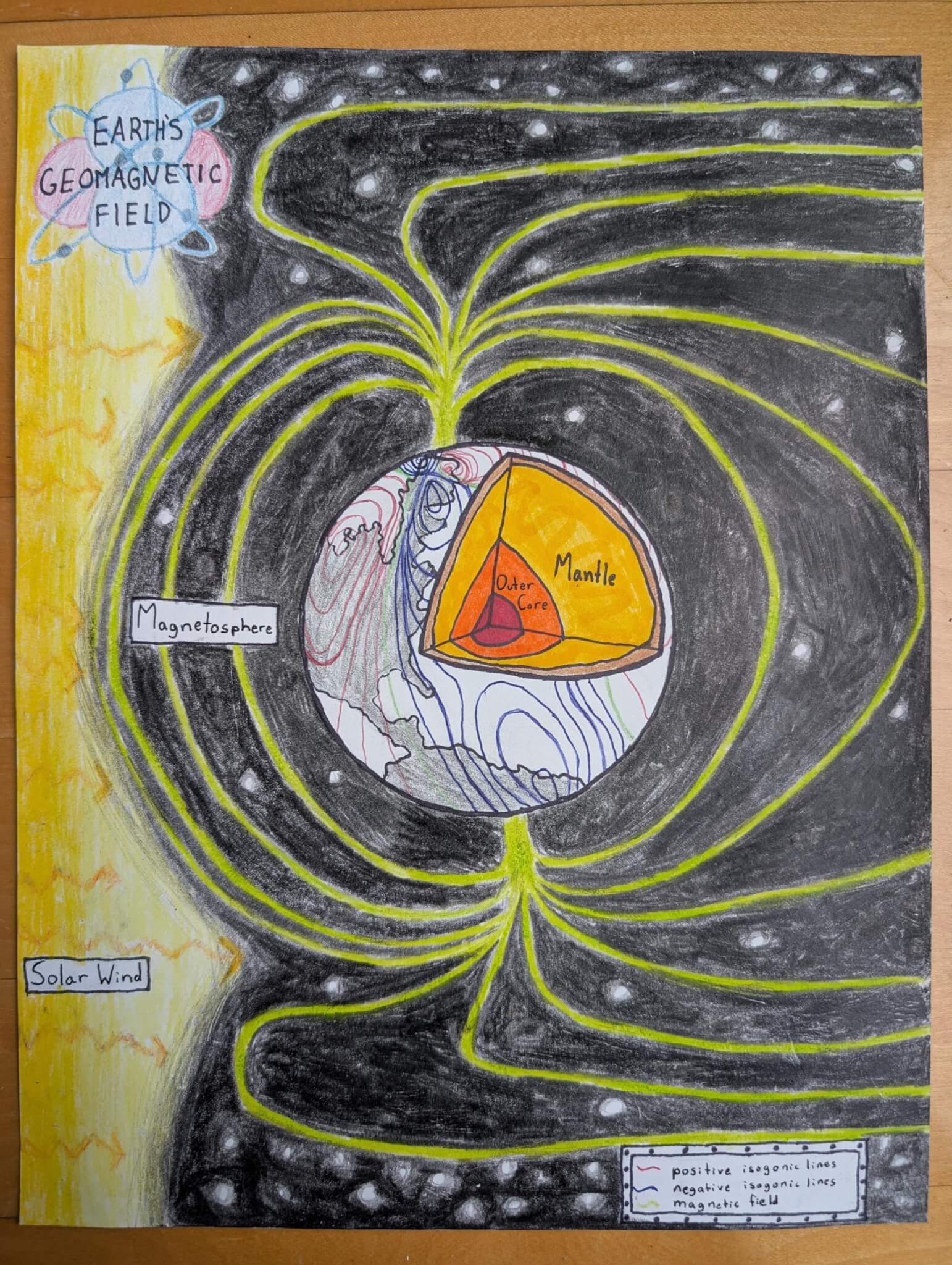
Eliana H. of Falmouth
Falmouth Elementary School – 5th Grade.
See larger at https://oshermaps.org/wp-content/uploads/2025/05/25.233.jpg
Space Island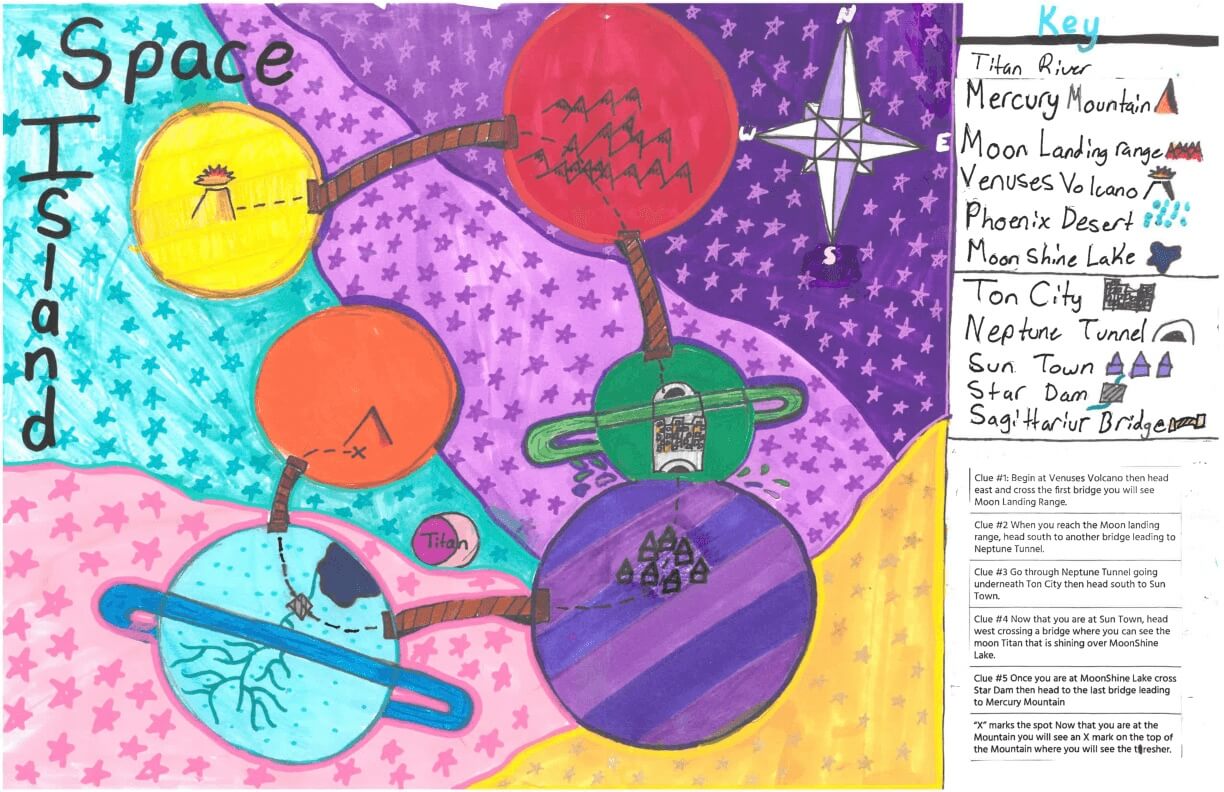
Eliana S. of York
York Middle School – 6th Grade.
See larger at https://oshermaps.org/wp-content/uploads/2025/05/25.287.jpg
Owl Island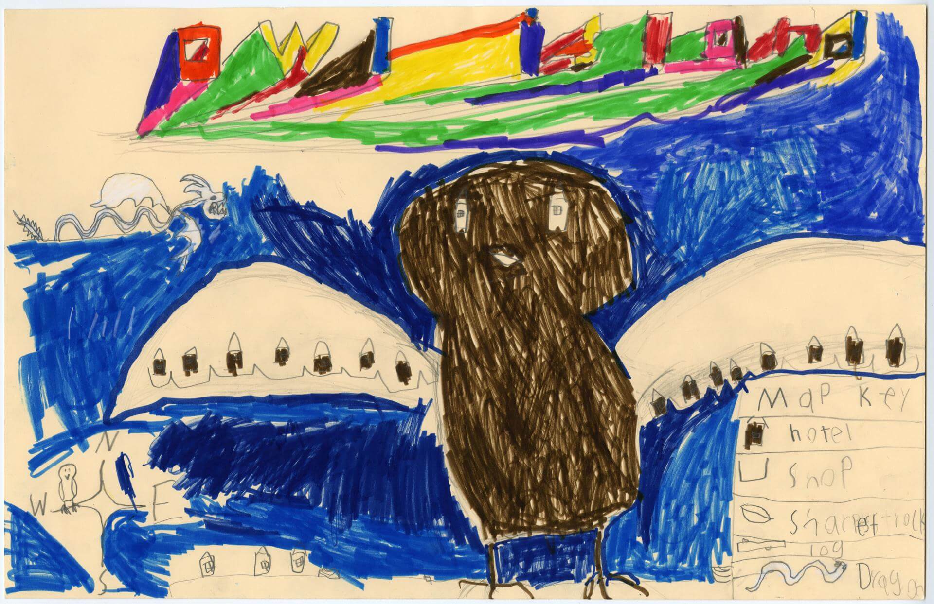
Elijah H. of Brunswick
Harriet Beecher Stowe Elem – 4th Grade.
See larger at https://oshermaps.org/wp-content/uploads/2025/05/25.023.jpg
The High Peaks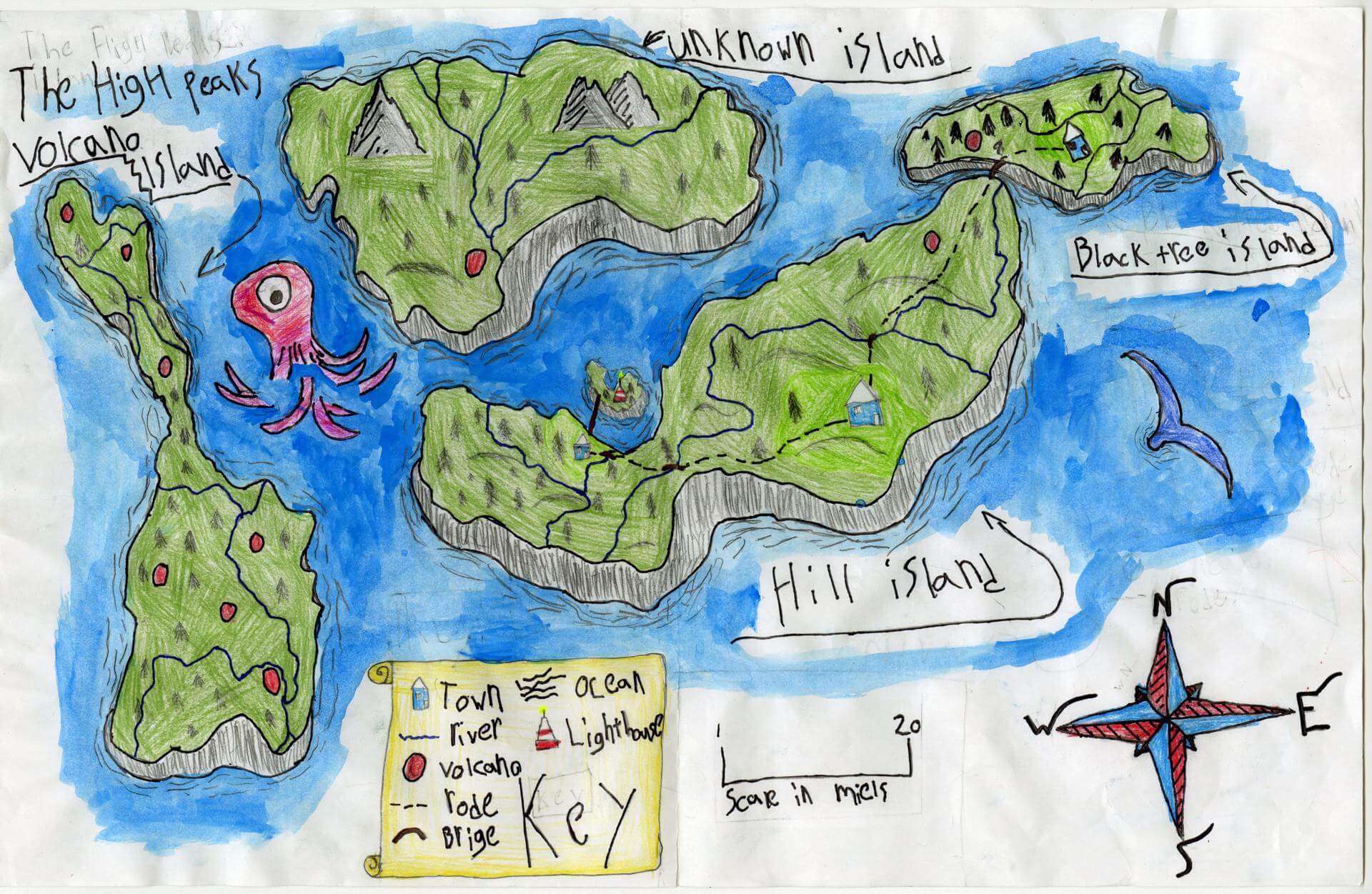
Eliot G. of Gorham
Great Falls Elementary – 4th Grade.
See larger at https://oshermaps.org/wp-content/uploads/2025/05/25.216.jpg
Disney Island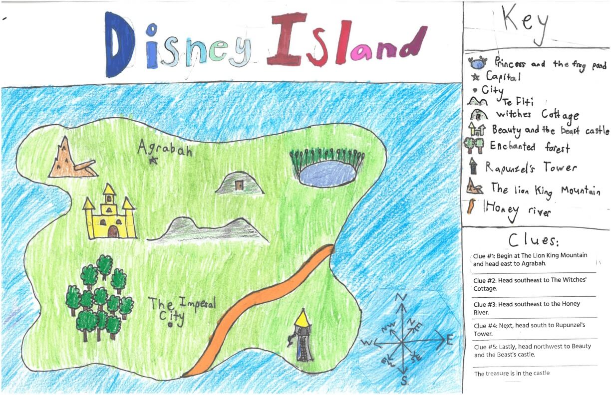
Elise C. of York
York Middle School – 6th Grade.
See larger at https://oshermaps.org/wp-content/uploads/2025/05/25.291.jpg
No Title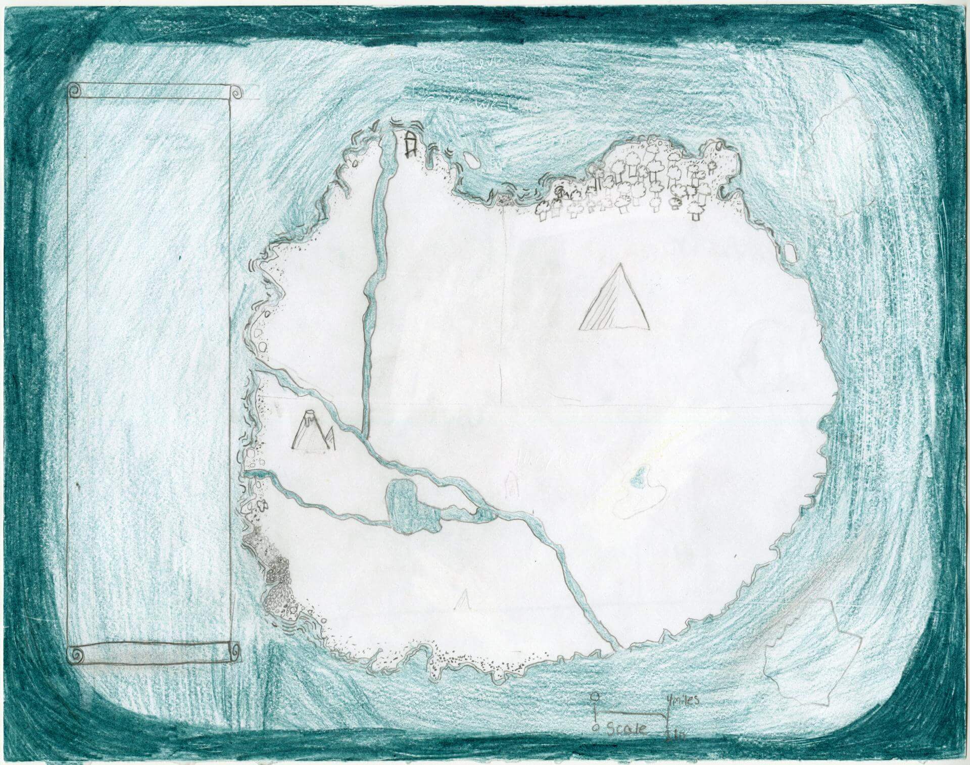
Elise L. of Oxford
Oxford Elementary – th Grade.
See larger at https://oshermaps.org/wp-content/uploads/2025/05/25.183.jpg
Soleada Isle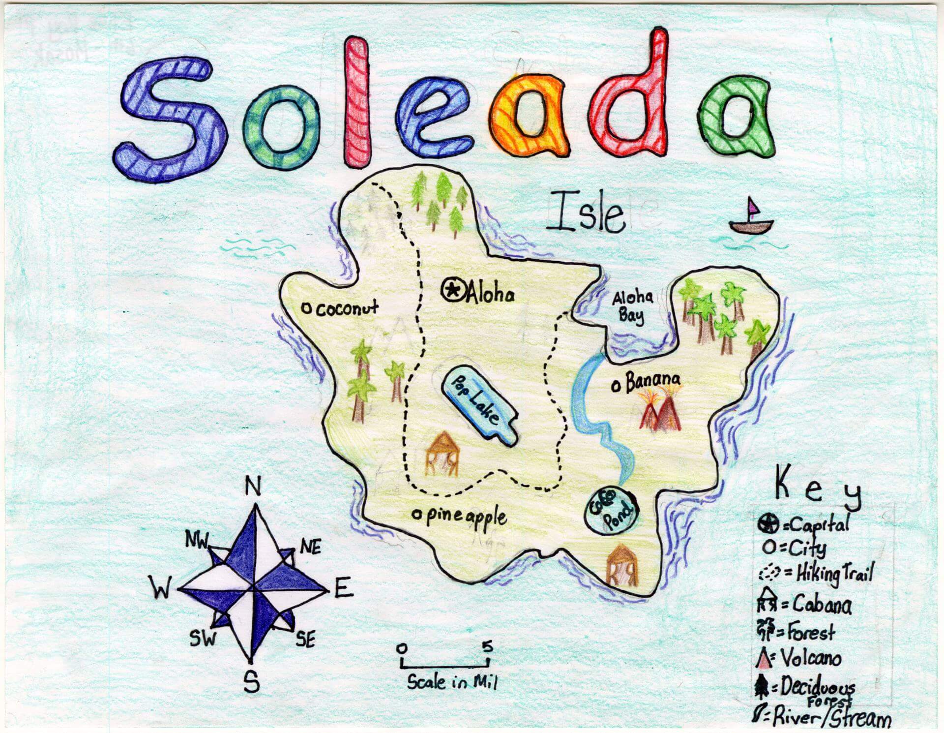
Elise R. of Brunswick
Brunswick Junior High – 6th Grade.
See larger at https://oshermaps.org/wp-content/uploads/2025/05/25.141.jpg
Rose Island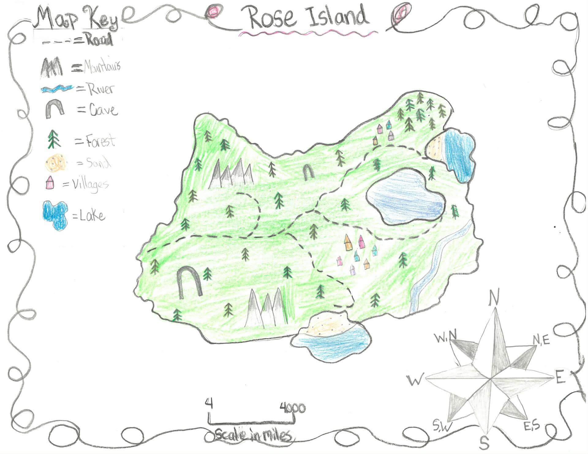
Eliza S. of Newcastle
Great Salt Bay School – 5th Grade.
See larger at https://oshermaps.org/wp-content/uploads/2025/05/25.317.jpg
Magic Island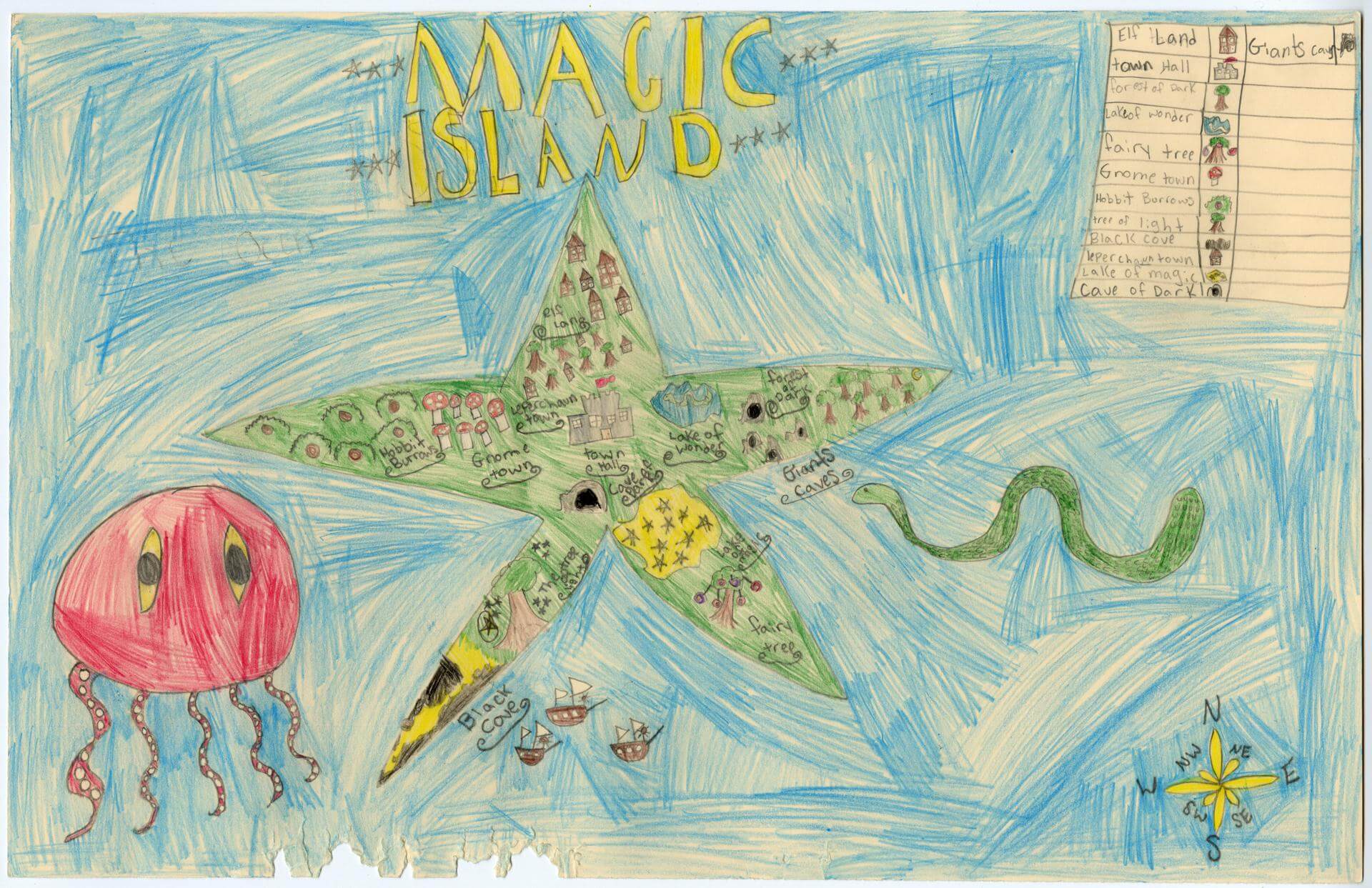
Ella C. of Brunswick
Harriet Beecher Stowe Elem – 4th Grade.
See larger at https://oshermaps.org/wp-content/uploads/2025/05/25.026.jpg
Candy Island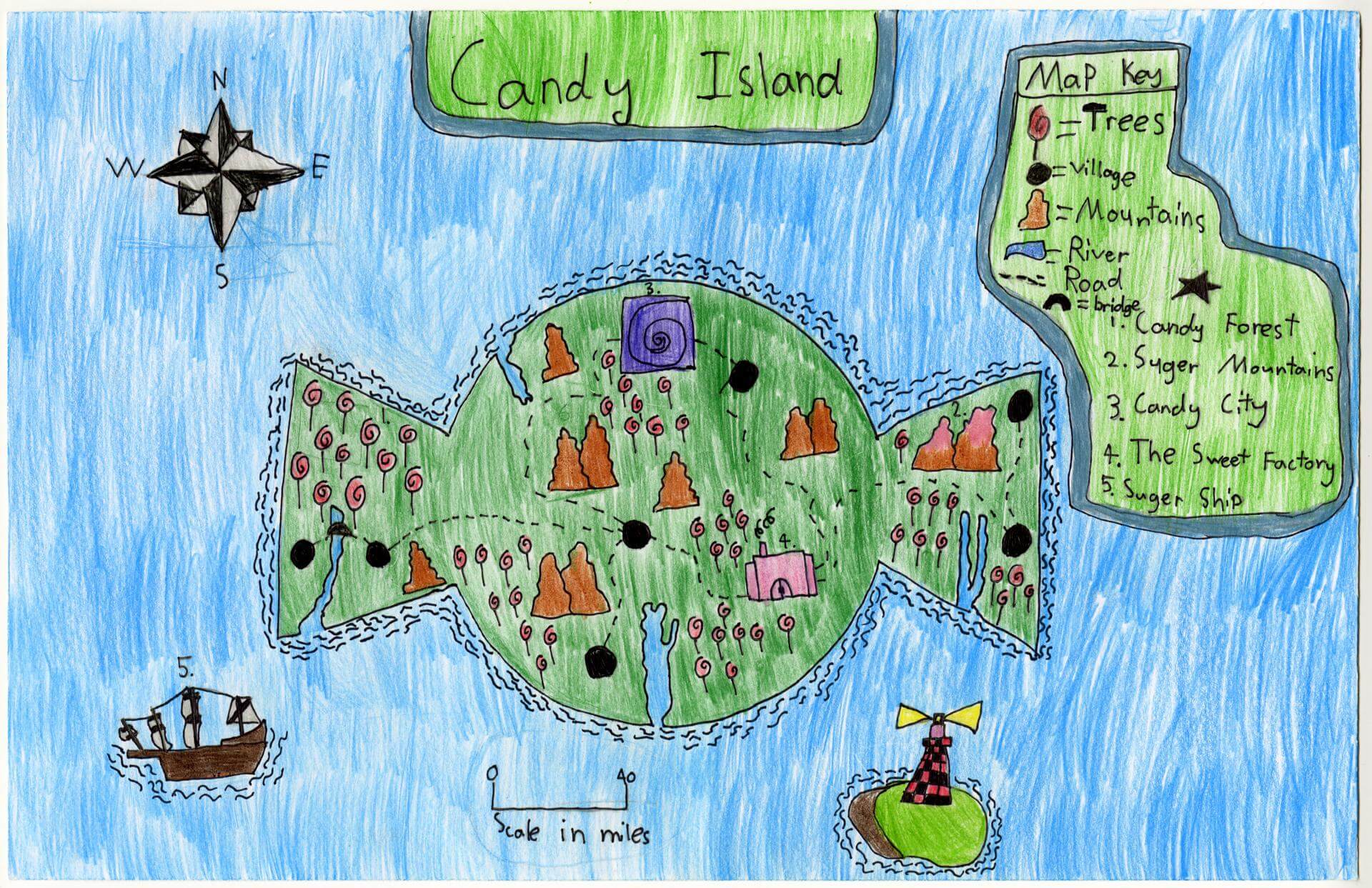
Ella D. of Gorham
Narragansett Elementary – 4th Grade.
See larger at https://oshermaps.org/wp-content/uploads/2025/05/25.037.jpg
Turkiyen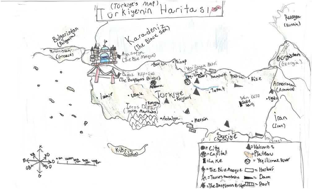
Ella S. of York
York Middle School – 6th Grade.
See larger at https://oshermaps.org/wp-content/uploads/2025/05/25.270.jpg
Mytholia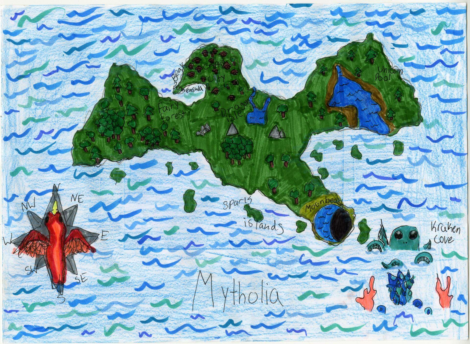
Ellory L. of Brunswick
Harriet Beecher Stowe Elem – 4th Grade.
See larger at https://oshermaps.org/wp-content/uploads/2025/05/25.003.jpg
Makeup Island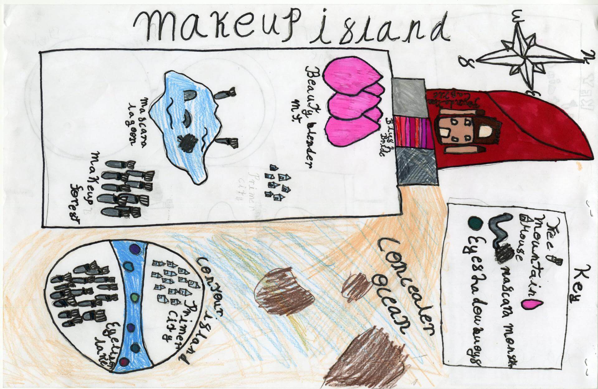
Emeryson L. of Princeton
Indian Township – 6th Grade.
See larger at https://oshermaps.org/wp-content/uploads/2025/05/25.226.jpg
Dragon’s Lair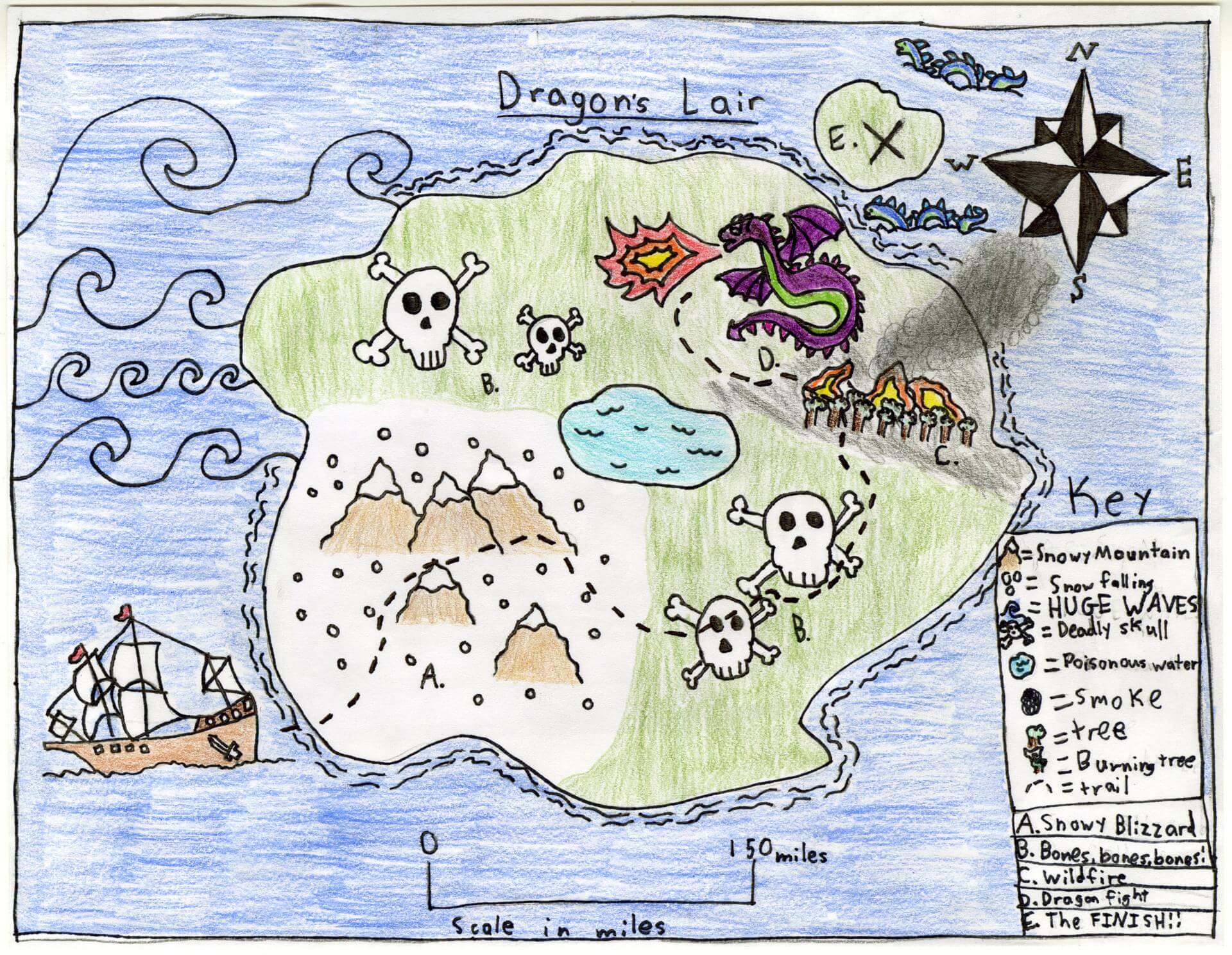
Emi M. of Gorham
Narragansett Elementary – 4th Grade.
See larger at https://oshermaps.org/wp-content/uploads/2025/05/25.126.jpg
Ghost Land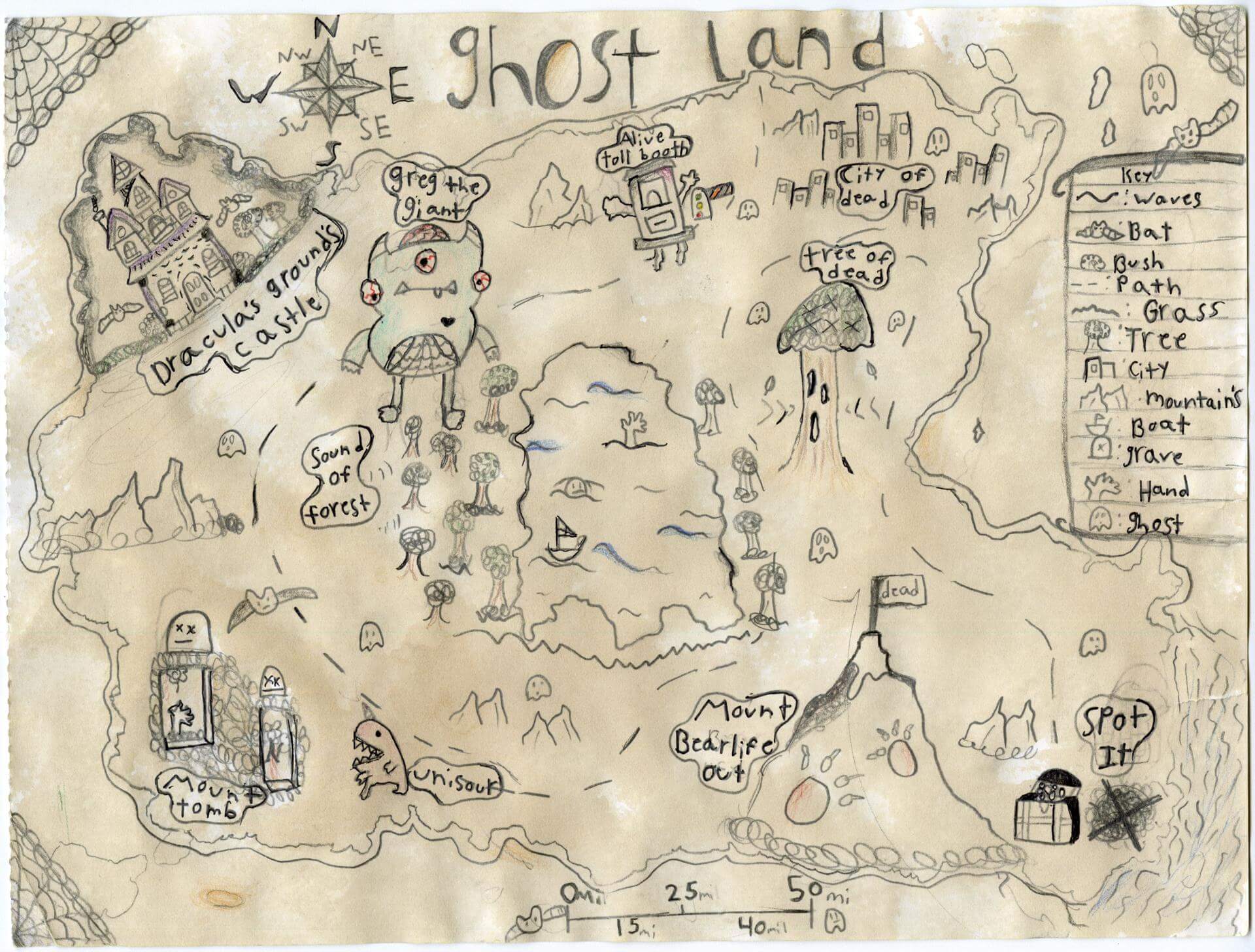
Emma R. of Old Town
Old Town Elementary School – 4th Grade.
See larger at https://oshermaps.org/wp-content/uploads/2025/05/25.179.jpg
Zombie Islands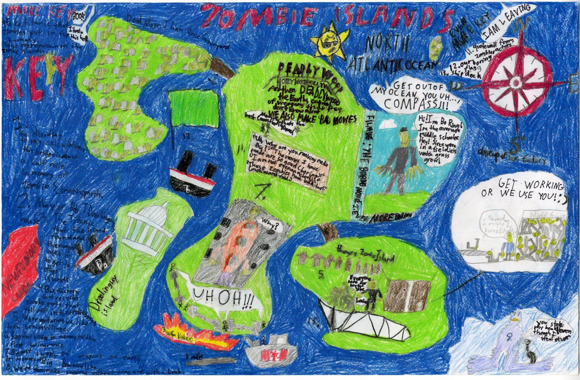
Emmet S. of Brunswick
Harriet Beecher Stowe Elem – 4th Grade.
See larger at https://oshermaps.org/wp-content/uploads/2025/05/25.014.jpg
Breadland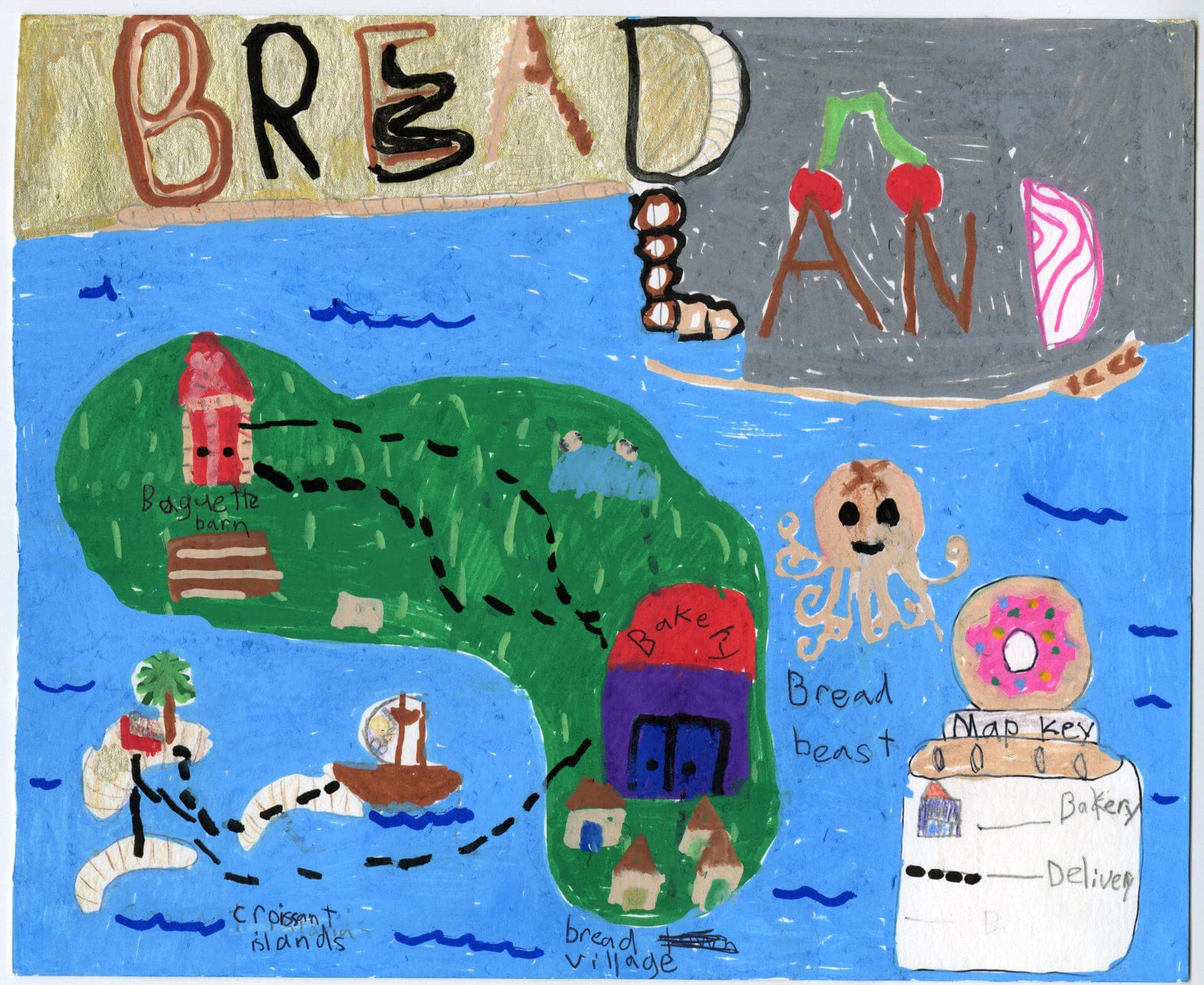
Erin Q. of Brunswick
Harriet Beecher Stowe Elem – 5th Grade.
See larger at https://oshermaps.org/wp-content/uploads/2025/05/25.004.jpg
Wicked Island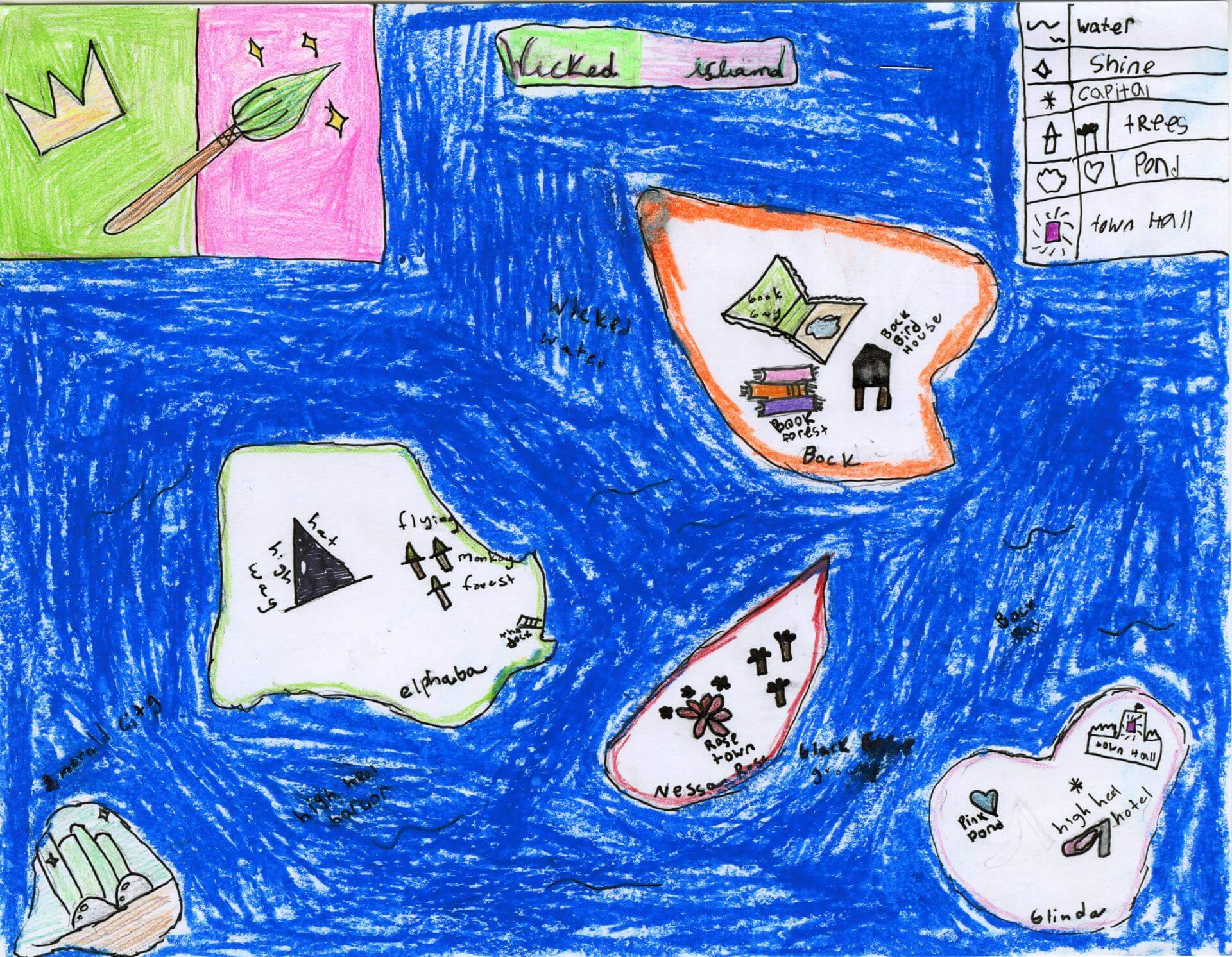
Esme C. of Yarmouth
Yarmouth Elementary – 5th Grade.
See larger at https://oshermaps.org/wp-content/uploads/2025/05/25.063.jpg
Dog Islands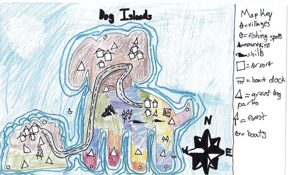
Eva B. of South Berwick
Marshwood Great Works – 4th Grade.
See larger at https://oshermaps.org/wp-content/uploads/2025/05/25.251.jpg
The Forgotten Lands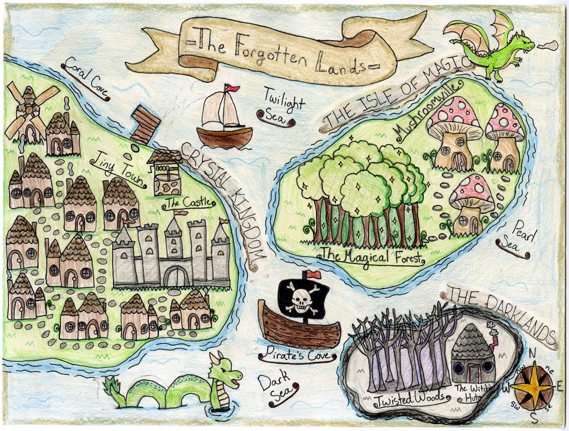
Eva G. of Falmouth
Falmouth Elementary School – 5th Grade.
See larger at https://oshermaps.org/wp-content/uploads/2025/05/25.182.jpg
Teal Island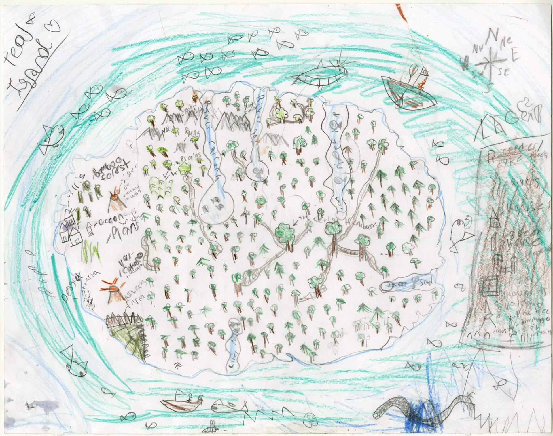
Evalee I. of Ocxford
Oxford Elementary – 5th Grade.
See larger at https://oshermaps.org/wp-content/uploads/2025/05/25.190.jpg
Imagination Island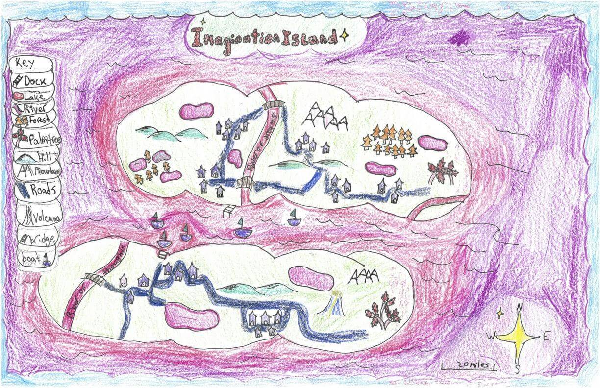
Evan O. of Topsham
Brunswick Junior High – 6th Grade.
See larger at https://oshermaps.org/wp-content/uploads/2025/05/25.304.jpg
Fairy Island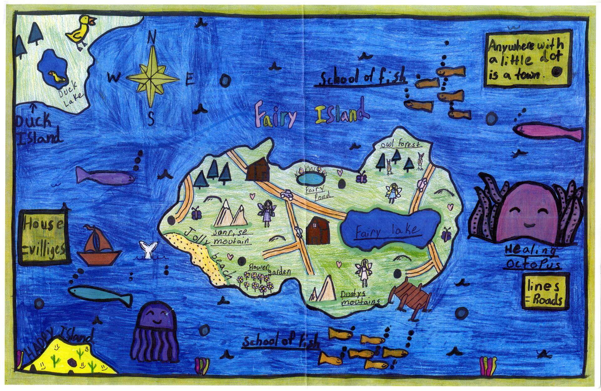
Evelyn A. of Gorham
Great Falls Elementary – 4th Grade.
See larger at https://oshermaps.org/wp-content/uploads/2025/05/25.217.jpg
Willy Wonka Isle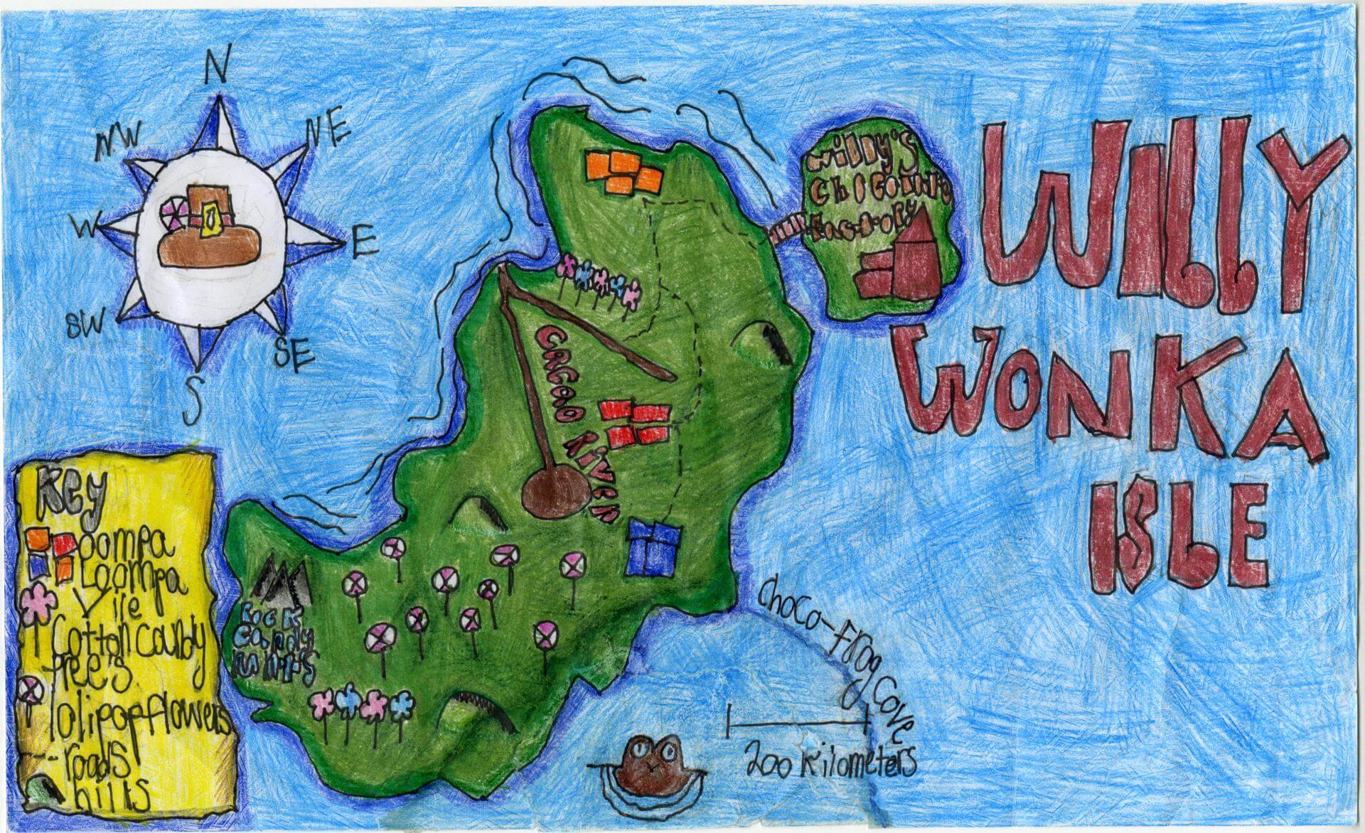
Evelyn O. of Brunswick
Brunswick Junior High – 6th Grade.
See larger at https://oshermaps.org/wp-content/uploads/2025/05/25.156.jpg
Skywalk
Ezekiel S. of Gorham
Narragansett Elementary – 4th Grade.
See larger at https://oshermaps.org/wp-content/uploads/2025/05/25.122.jpg
Gnome Island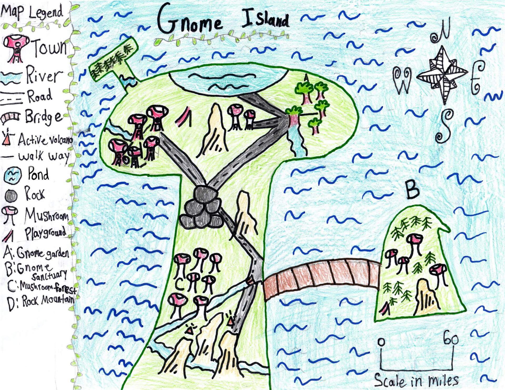
Finley C. of Gorham
Great Falls Elementary – 4th Grade.
See larger at https://oshermaps.org/wp-content/uploads/2025/05/25.296.jpg
The Islands of the Trees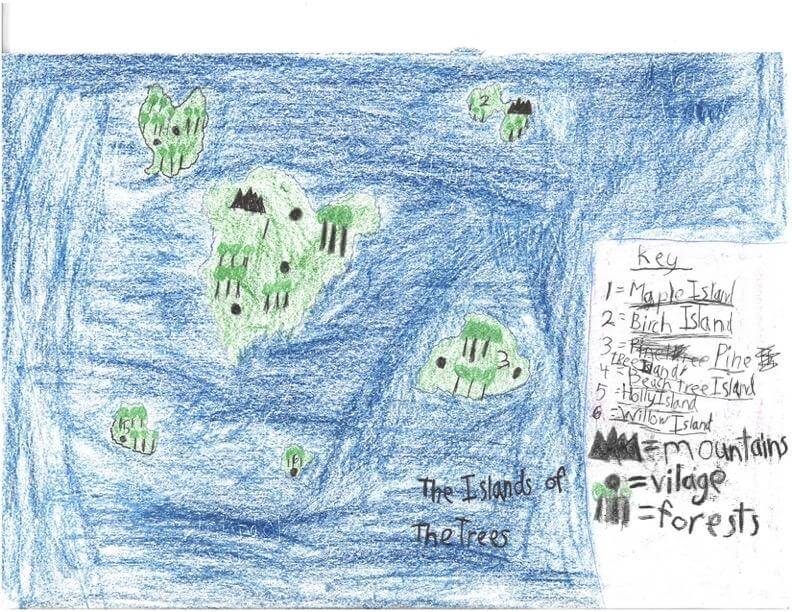
Finley C. of Freeport
Maine Coast Waldorf School – 4th Grade.
See larger at https://oshermaps.org/wp-content/uploads/2025/05/25.322.jpg
Yin Yang Isles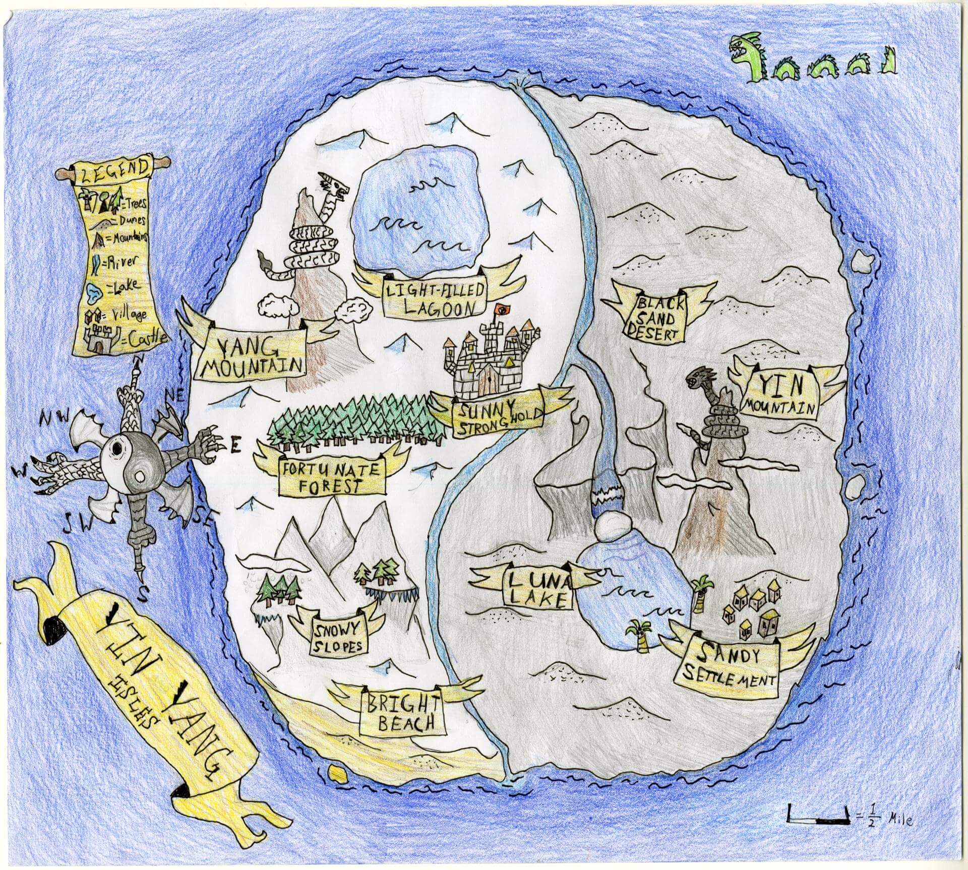
Finn C. of Brunswick
Brunswick Jr. High – 6th Grade.
See larger at https://oshermaps.org/wp-content/uploads/2025/05/25.137.jpg
Strange Island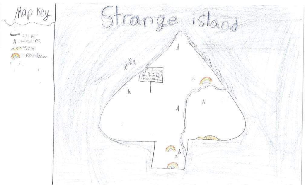
Fiona F. of South Berwick
Marshwood Great Works School – 4th Grade.
See larger at https://oshermaps.org/wp-content/uploads/2025/05/25.247.jpg
Path of a Penny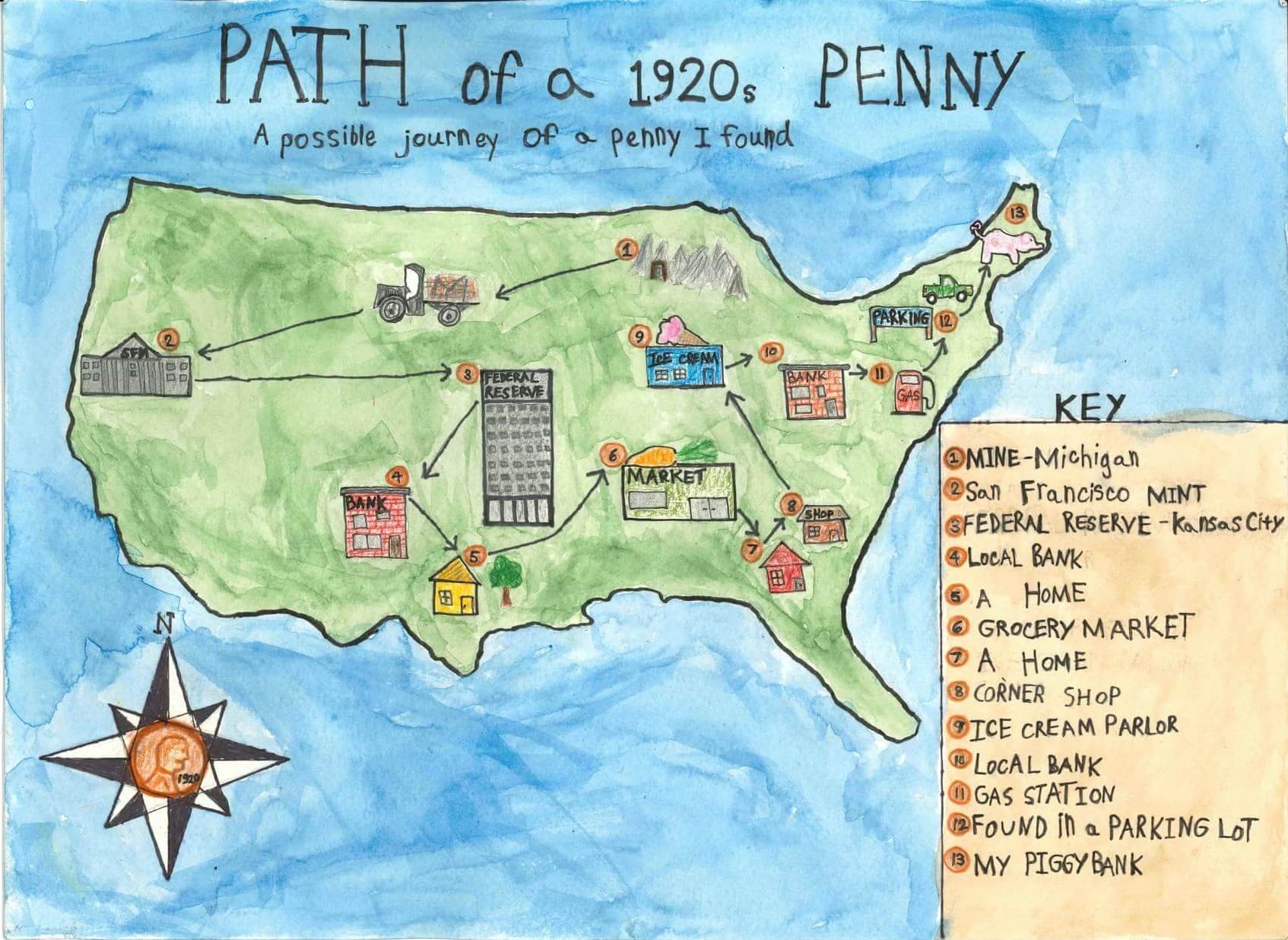
Foster B. of Montville
Homeschool – 4th Grade.
See larger at https://oshermaps.org/wp-content/uploads/2025/05/25.328.jpg
The Isle of Virago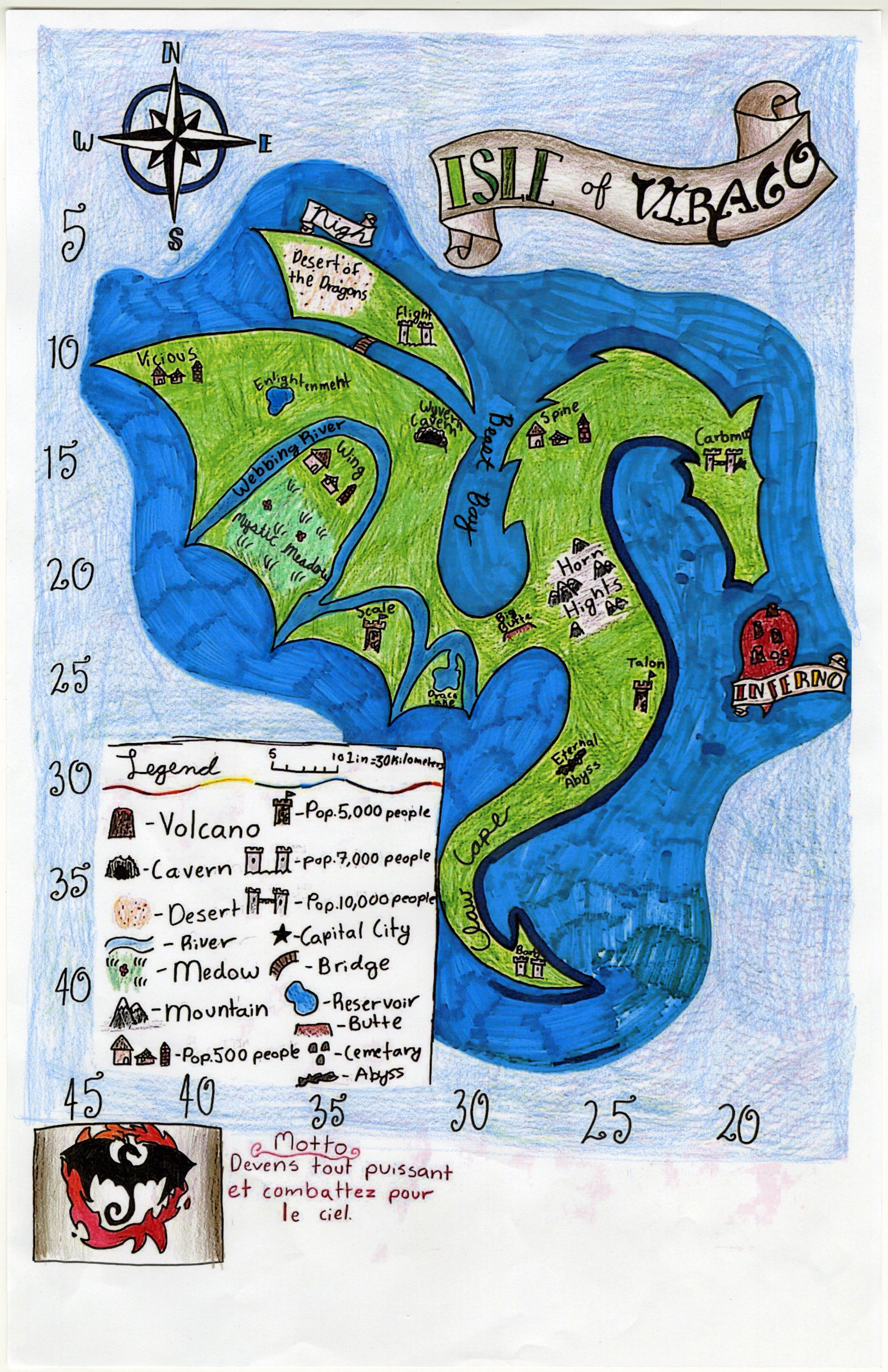
Frances S. of Yarmouth
Yarmouth Elementary – 5th Grade.
See larger at https://oshermaps.org/wp-content/uploads/2025/05/25.058.jpg
Turtle Reef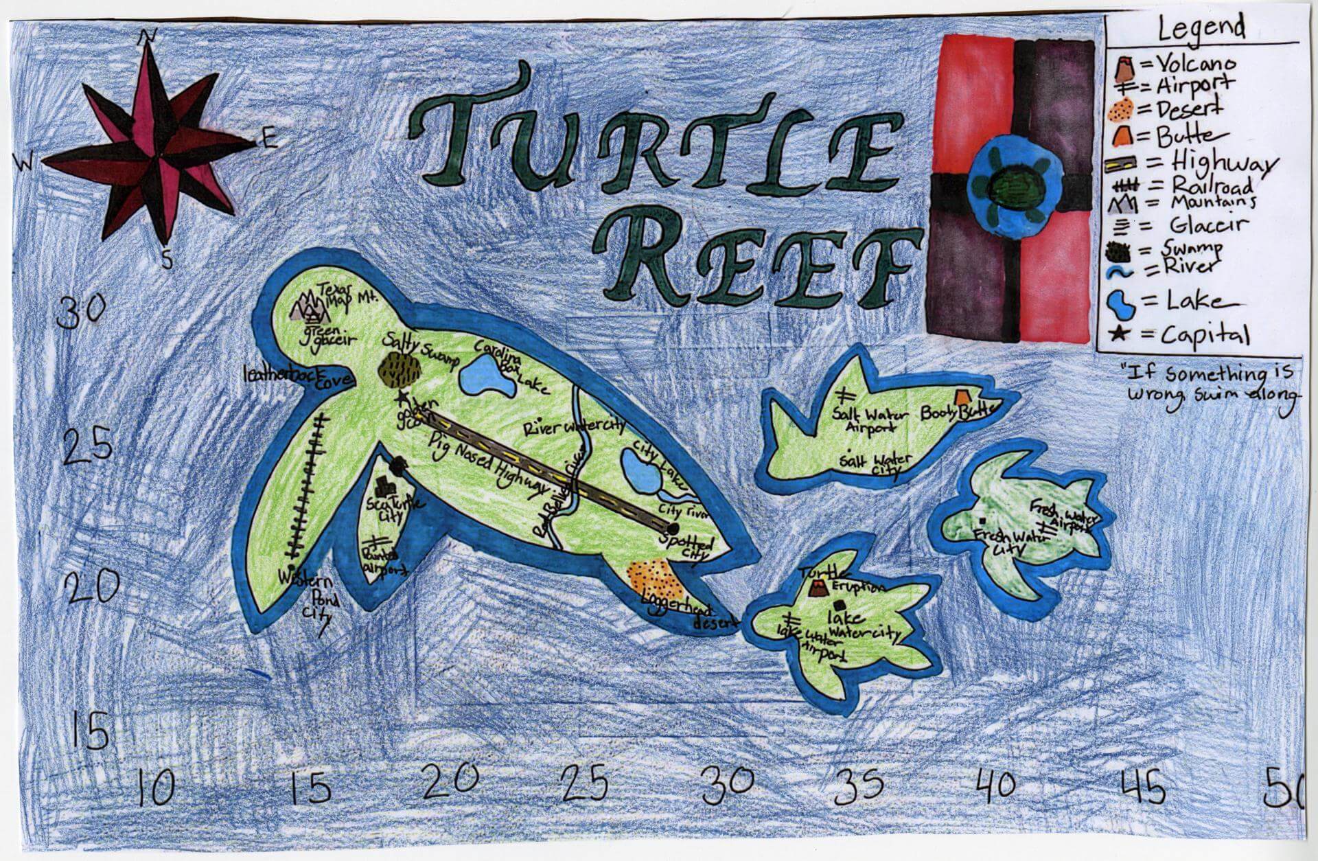
Franchesca H. of Yarmouth
Yarmouth Elementary – 5th Grade.
See larger at https://oshermaps.org/wp-content/uploads/2025/05/25.047.jpg
The Larkin Islands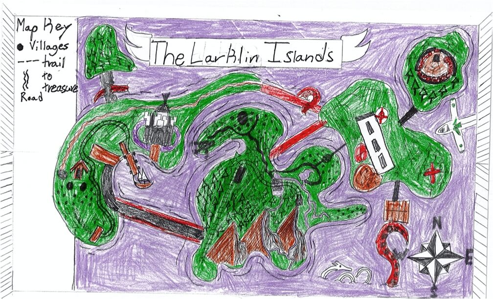
Frank M. of South Berwick
Marshwood Great Works School – 4th Grade.
See larger at https://oshermaps.org/wp-content/uploads/2025/05/25.249.jpg
Dog Island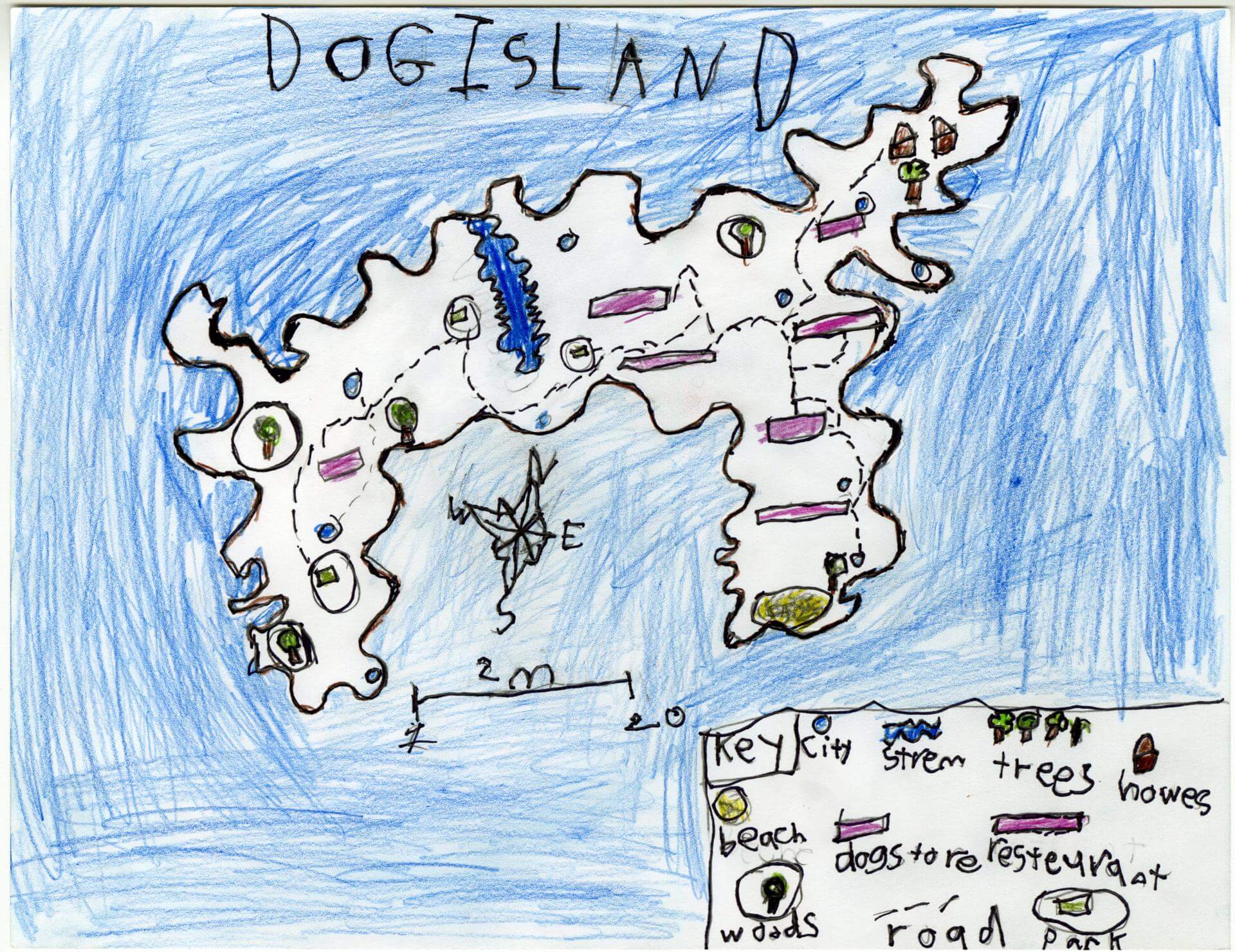
Gabe D. of Old Town
Old Town Elementary School – 4th Grade.
See larger at https://oshermaps.org/wp-content/uploads/2025/05/25.211.jpg
Brain Island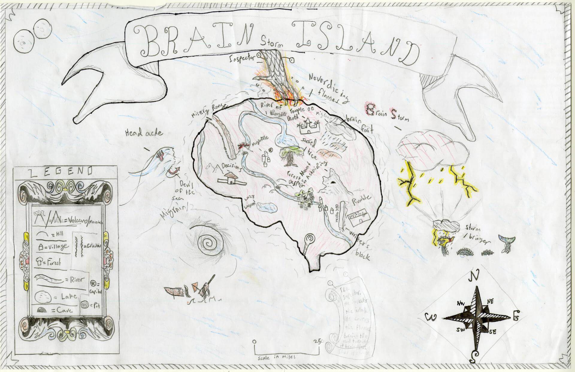
Gabriel K. of Brunswick
Brunswick Jr. High – 6th Grade.
See larger at https://oshermaps.org/wp-content/uploads/2025/05/25.066.jpg
Story Island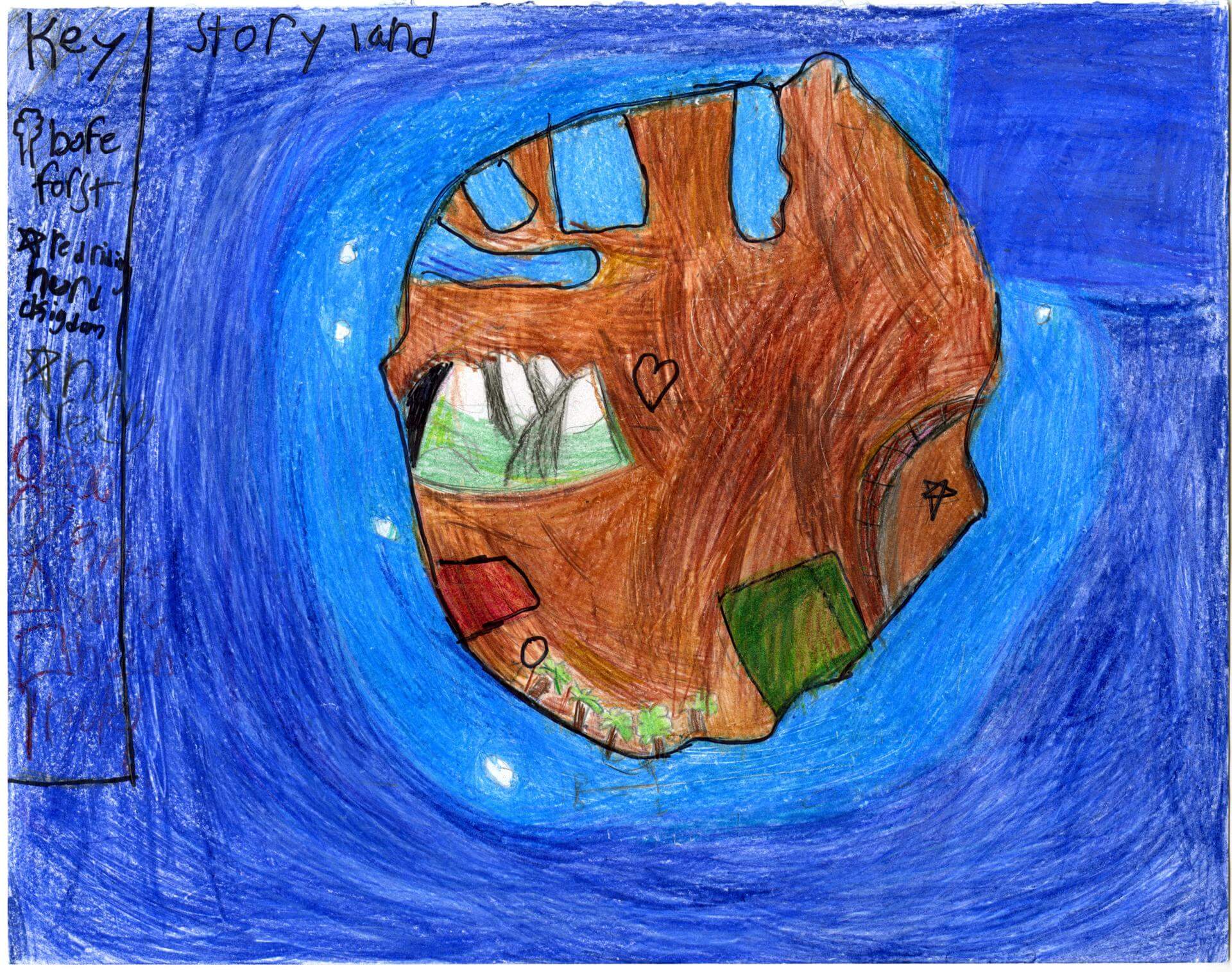
Gabriella G. of Oxford
Oxford Elementary – 5th Grade.
See larger at https://oshermaps.org/wp-content/uploads/2025/05/25.186.jpg
Whale Bone Islands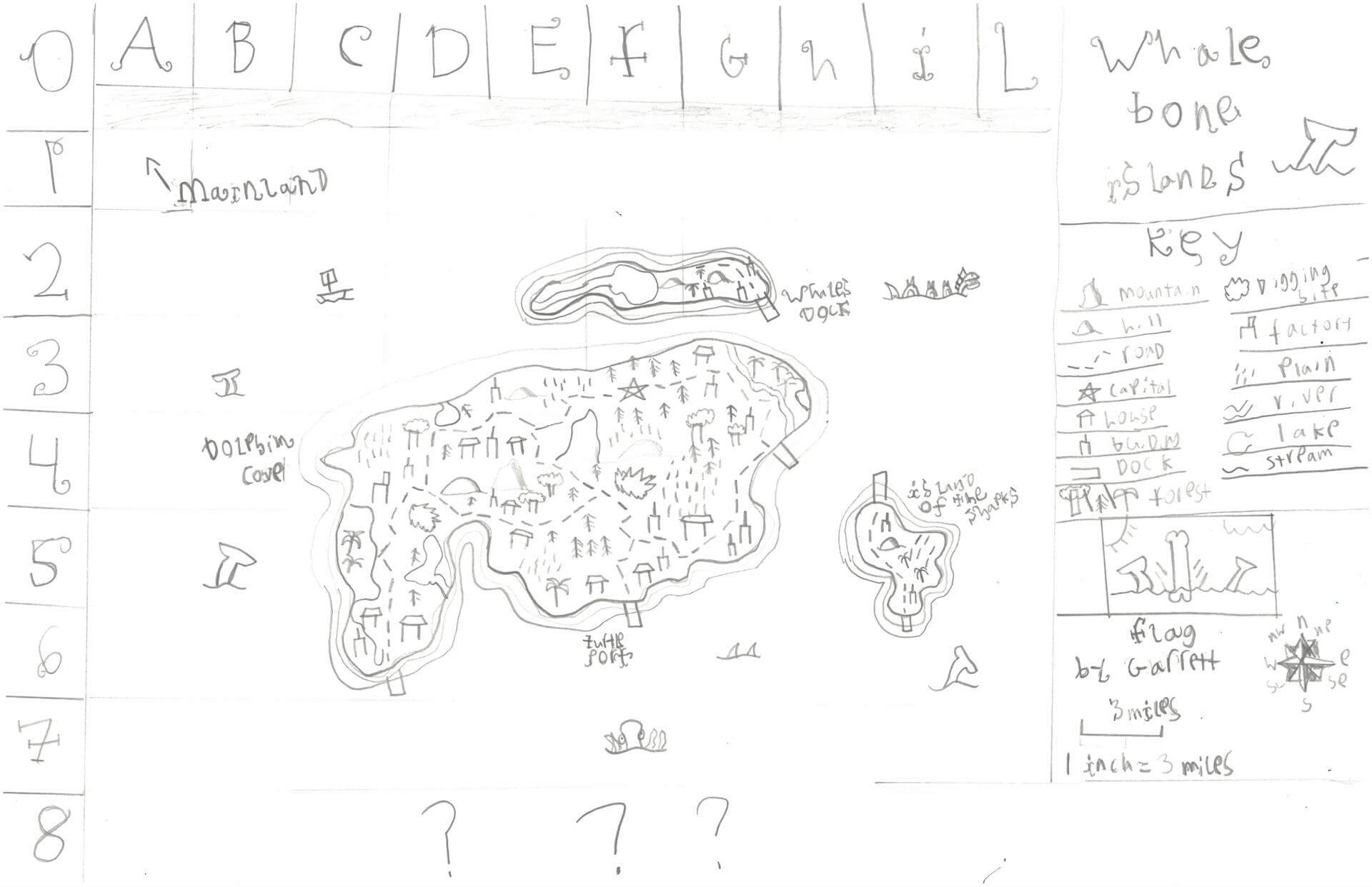
Garrett S. of Damariscotta
Great Salt Bay School – 5th Grade.
See larger at https://oshermaps.org/wp-content/uploads/2025/05/25.239.jpg
Hello Islands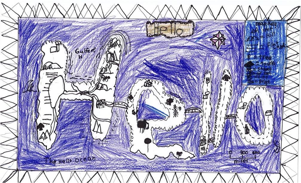
Gavin T. of South Berwick
Marshwood Great Works School – 4th Grade.
See larger at https://oshermaps.org/wp-content/uploads/2025/05/25.250.jpg
Cross Island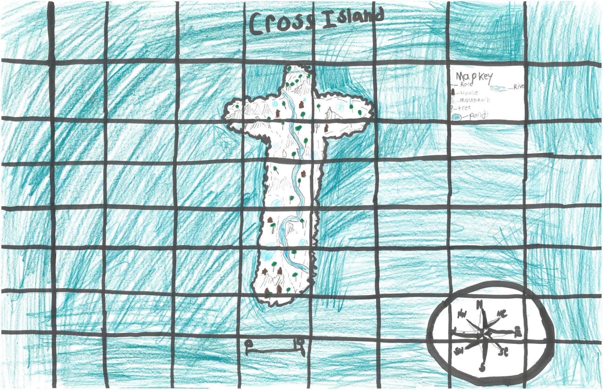
Gavin W. of Alna
Great Salt Bay School – 5th Grade.
See larger at https://oshermaps.org/wp-content/uploads/2025/05/25.237.jpg
Elfly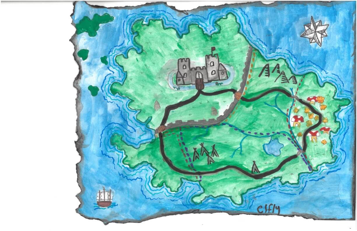
Genevieve B. of York
York Middle School – 6th Grade.
See larger at https://oshermaps.org/wp-content/uploads/2025/05/25.265.jpg
Exonia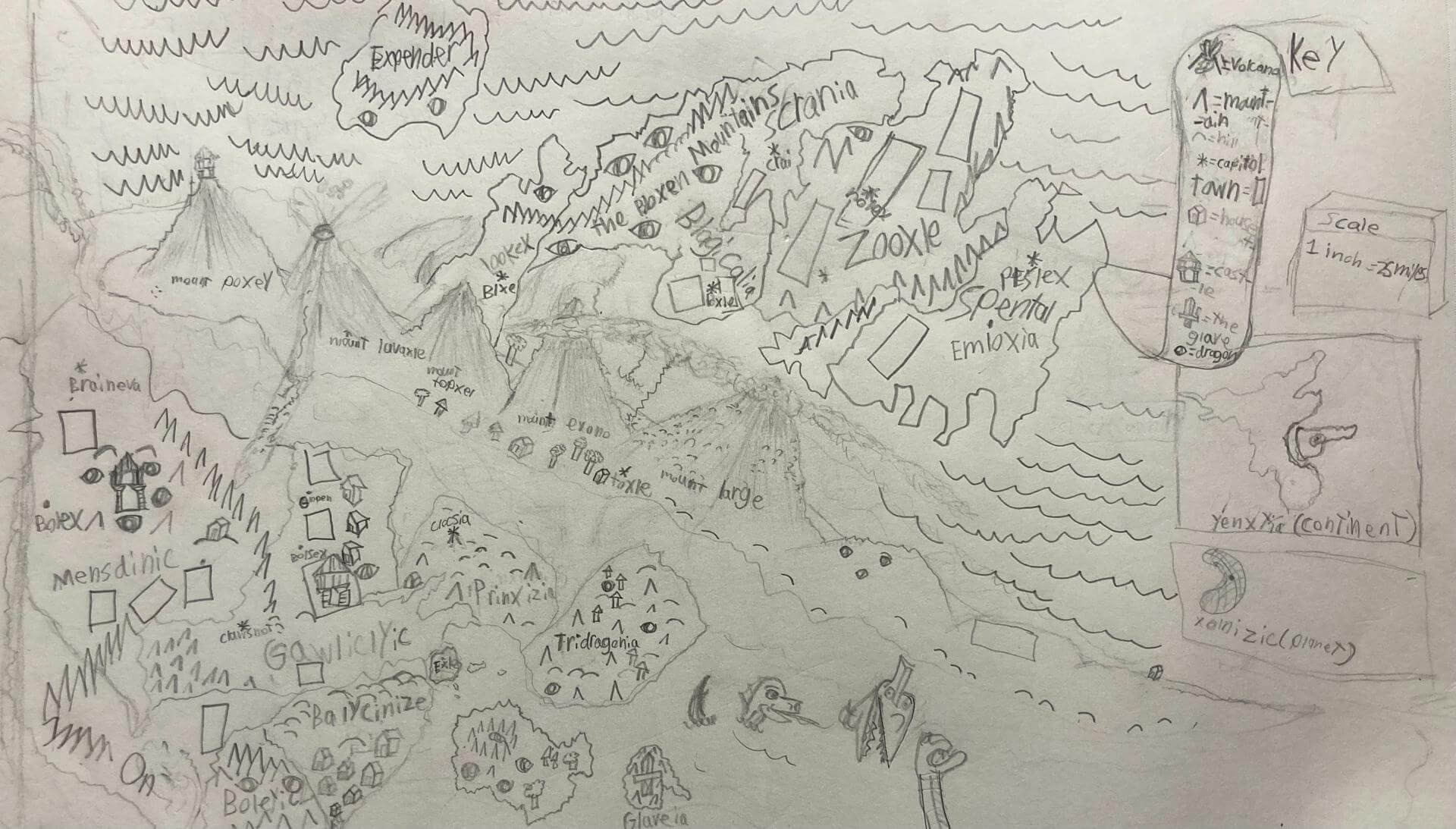
George H. of Brunswick
Harriet Beecher Elementary school – 4th Grade.
See larger at https://oshermaps.org/wp-content/uploads/2025/05/25.316.jpg
Jerry Island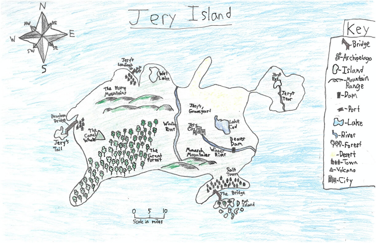
George S. of York
York Middle School – 6th Grade.
See larger at https://oshermaps.org/wp-content/uploads/2025/05/25.277.jpg
The Monument Isles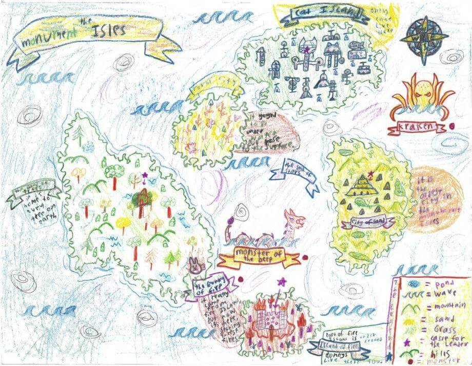
Georgia B. of Freeport
Maine Coast Waldorf School – 4th Grade.
See larger at https://oshermaps.org/wp-content/uploads/2025/05/25.311.jpg
Horseshoe Island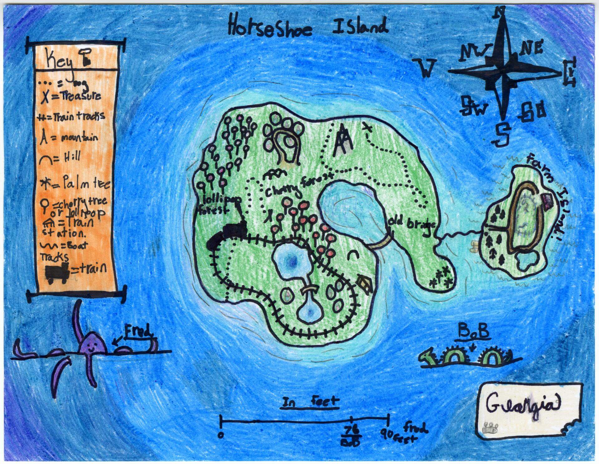
Georgianna S. of Gorham
Narragansett Elementary – 4th Grade.
See larger at https://oshermaps.org/wp-content/uploads/2025/05/25.124.jpg
Big Boy Island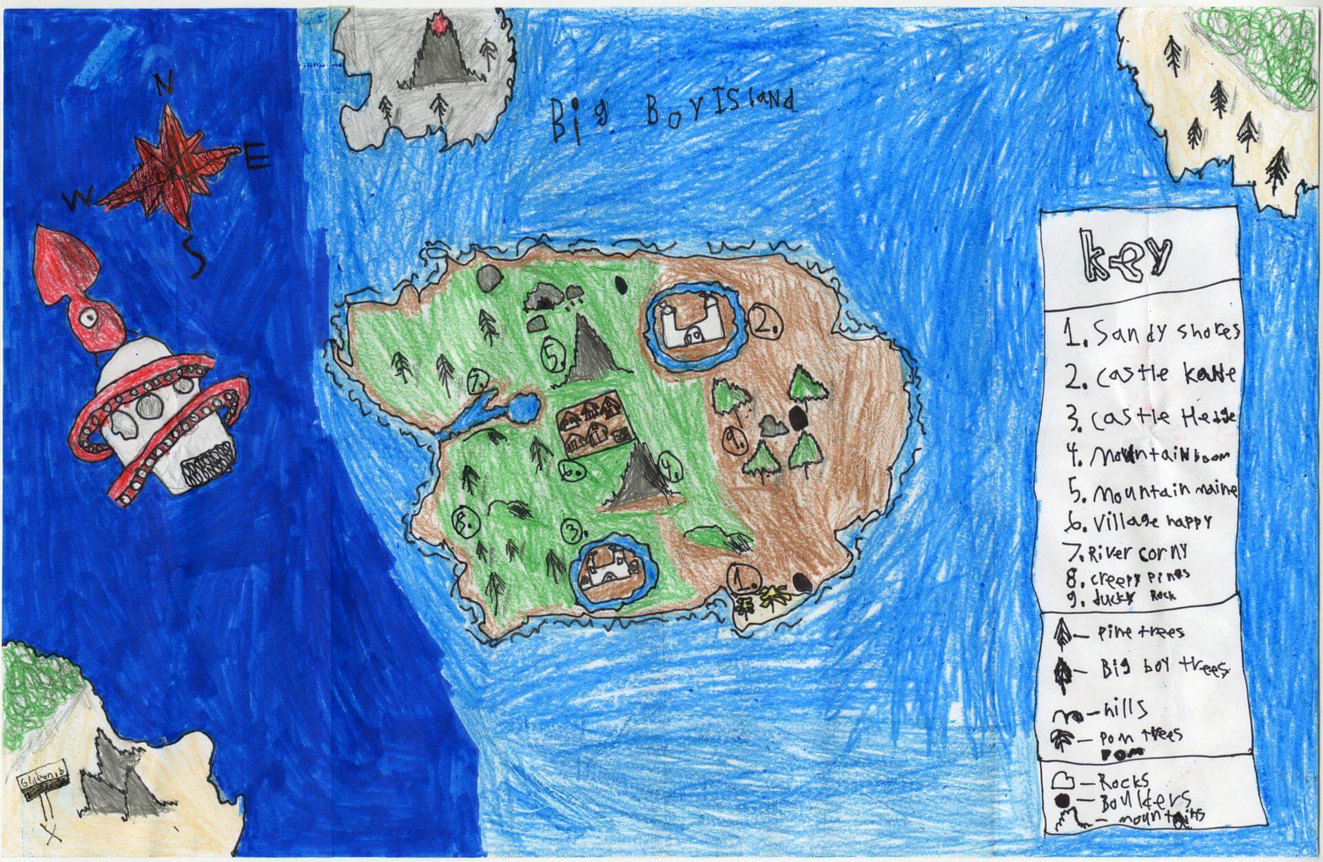
Gideon B. of Gorham
Great Falls Elementary – 4th Grade.
See larger at https://oshermaps.org/wp-content/uploads/2025/05/25.220.jpg
Cavichara Desert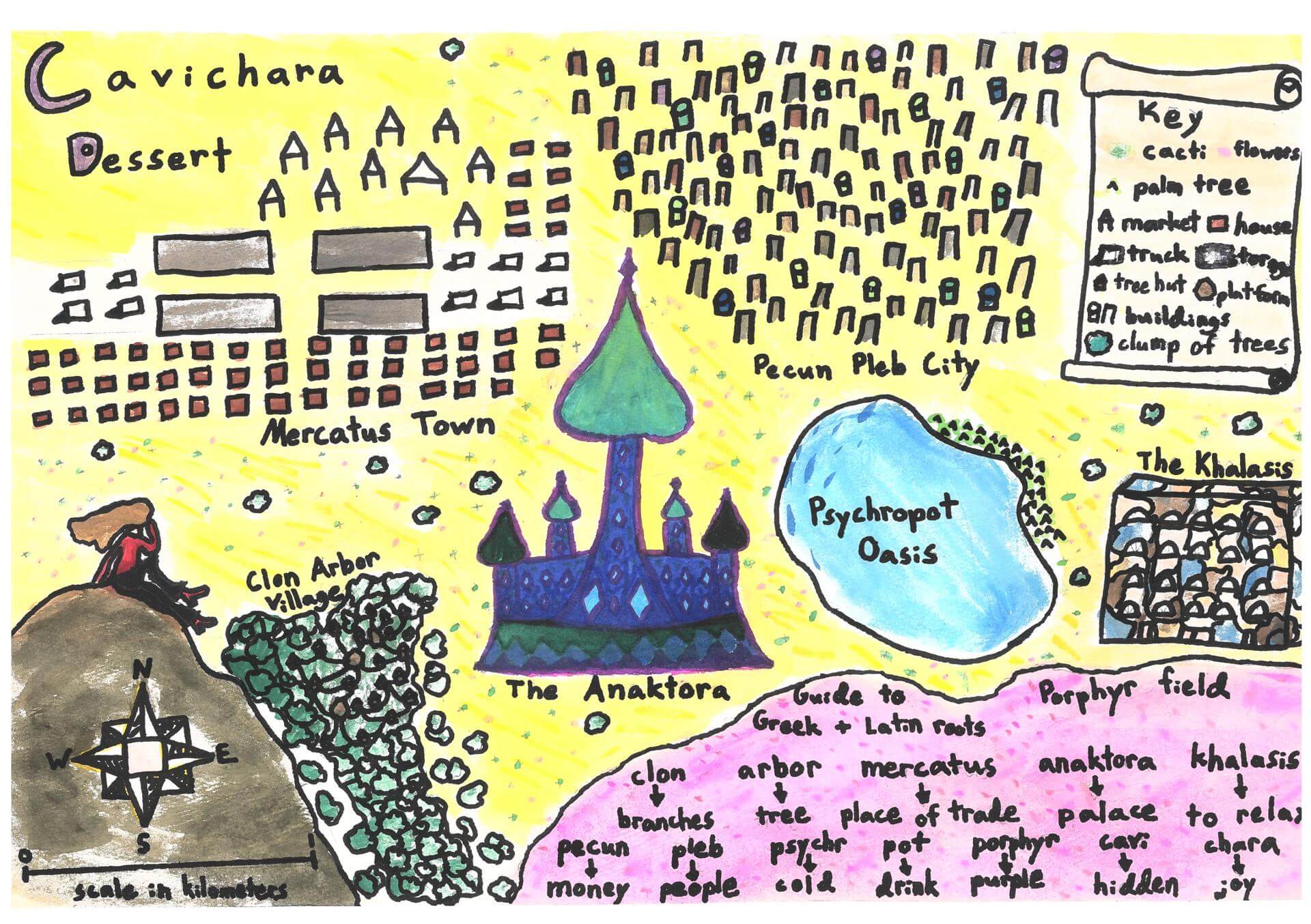
Grace H. of Falmouth
Falmouth Elementary School – 5th Grade.
See larger at https://oshermaps.org/wp-content/uploads/2025/05/25.347.jpg
Tropical Island World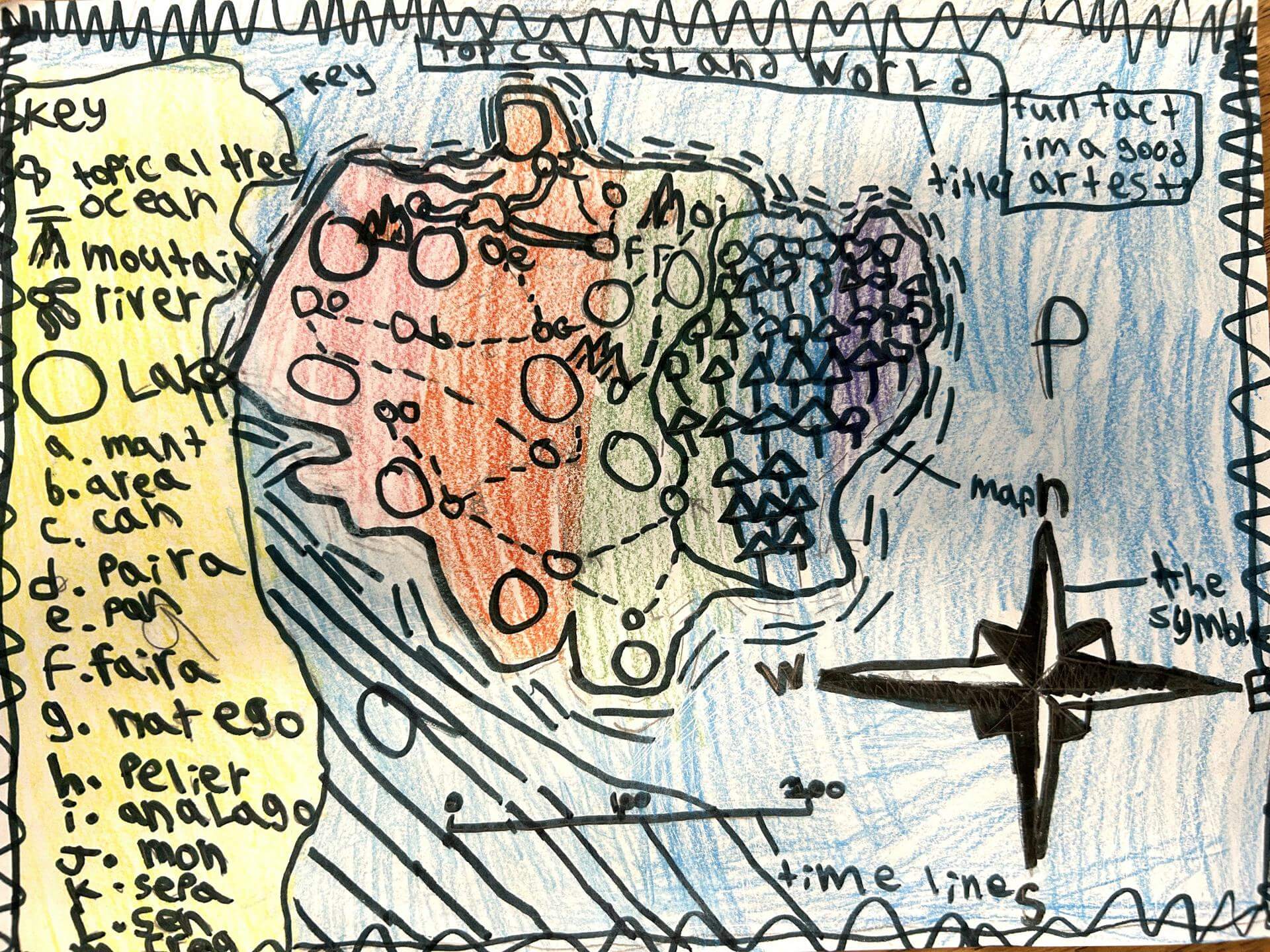
Grace H. of South Berwick
Marshwood Great Works School – 5th Grade.
See larger at https://oshermaps.org/wp-content/uploads/2025/05/25.001.jpg
The Wild West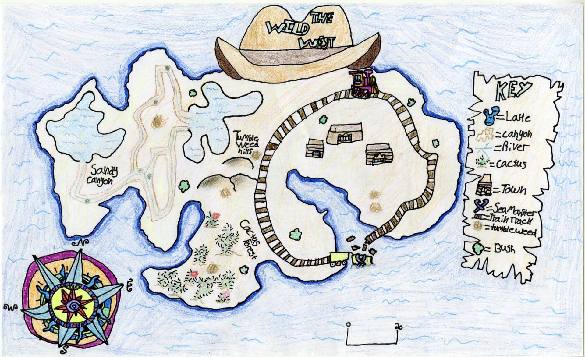
Gracelyn F. of Brunswick
Brunswick Junior High – 6th Grade.
See larger at https://oshermaps.org/wp-content/uploads/2025/05/25.152.jpg
Cog City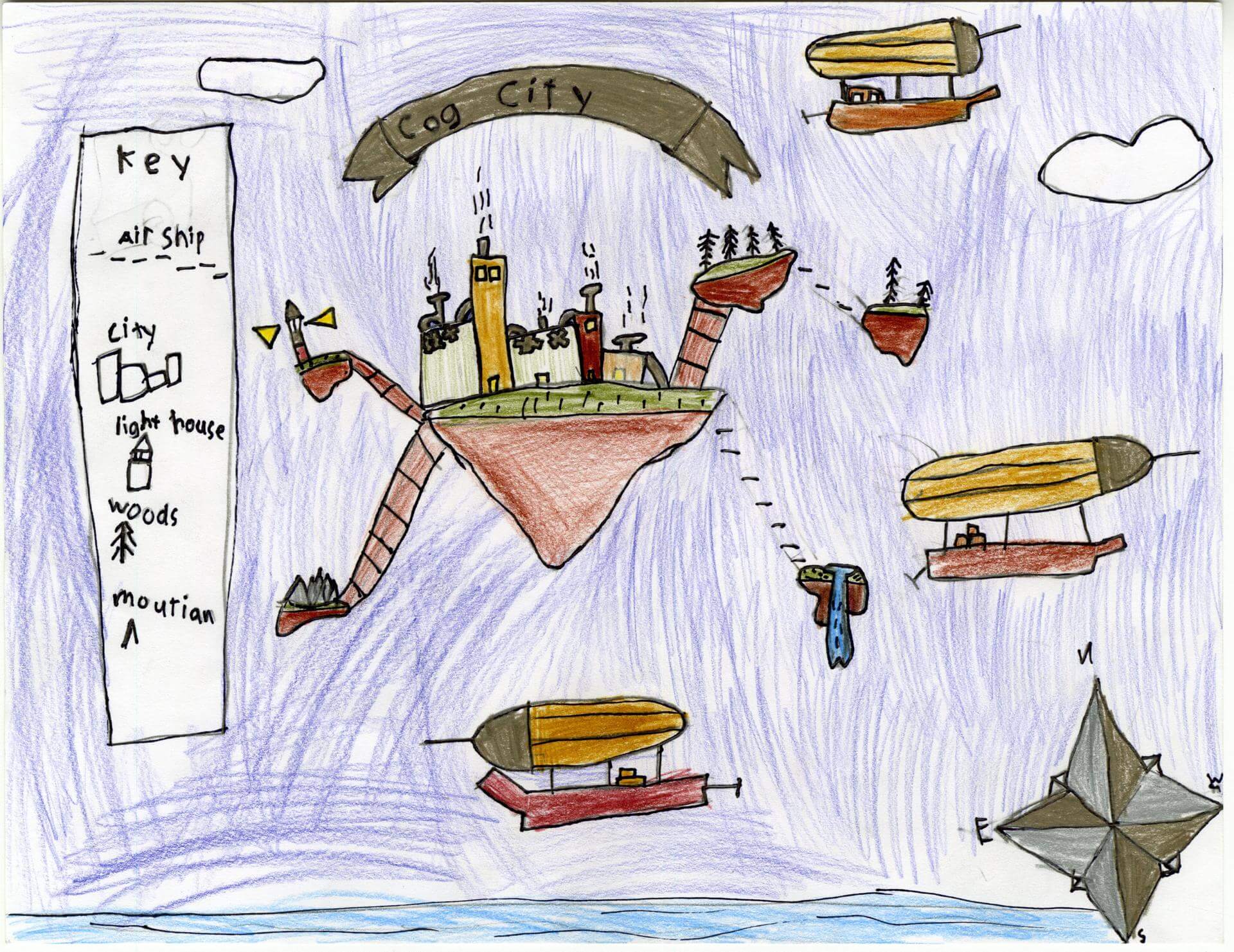
Graham L. of Old Town
Old Town Elementary School – 4th Grade.
See larger at https://oshermaps.org/wp-content/uploads/2025/05/25.203.jpg
Sunburn Island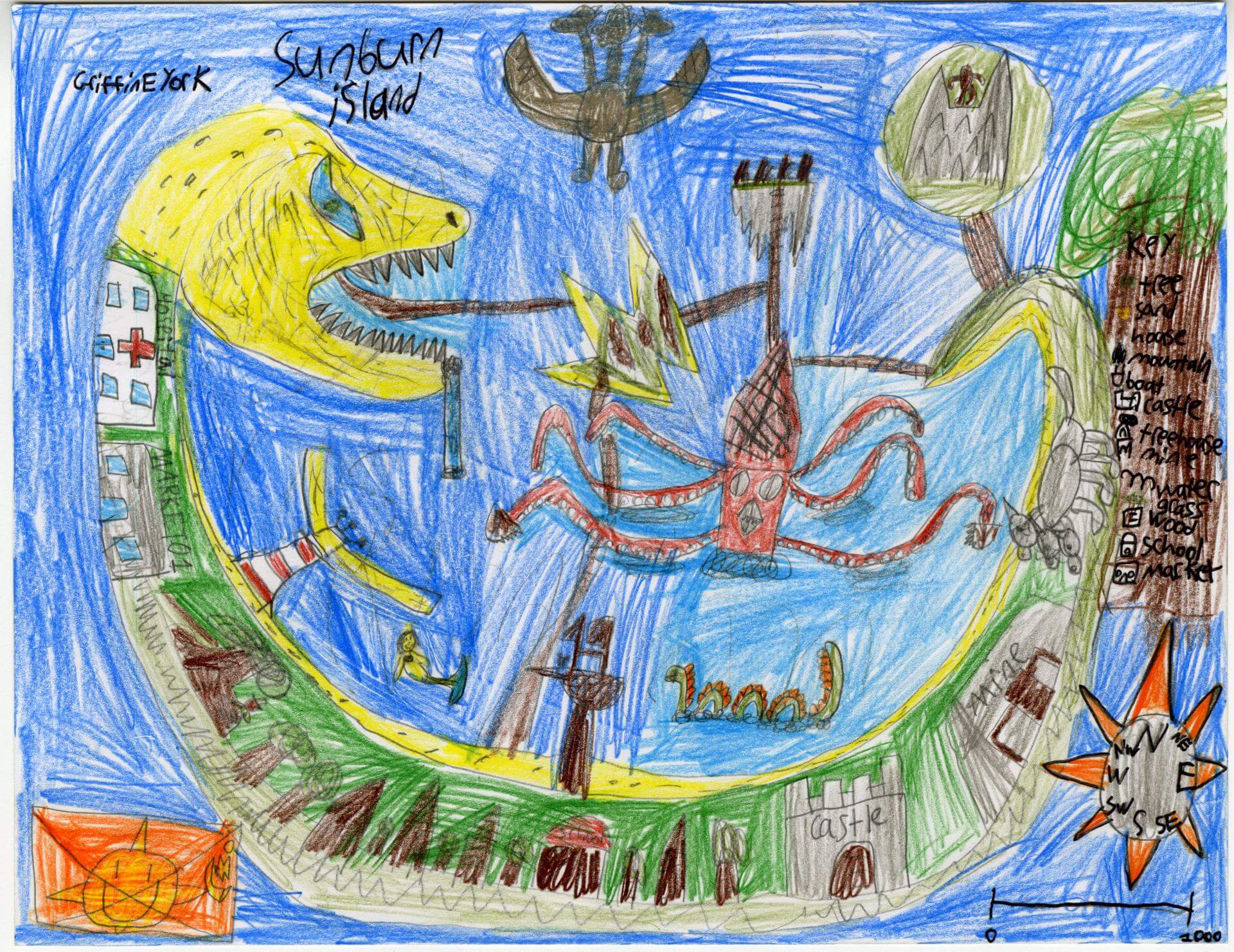
Griffin Y. of Old Town
Old Town Elementary School – 4th Grade.
See larger at https://oshermaps.org/wp-content/uploads/2025/05/25.204.jpg
The Cloud Islands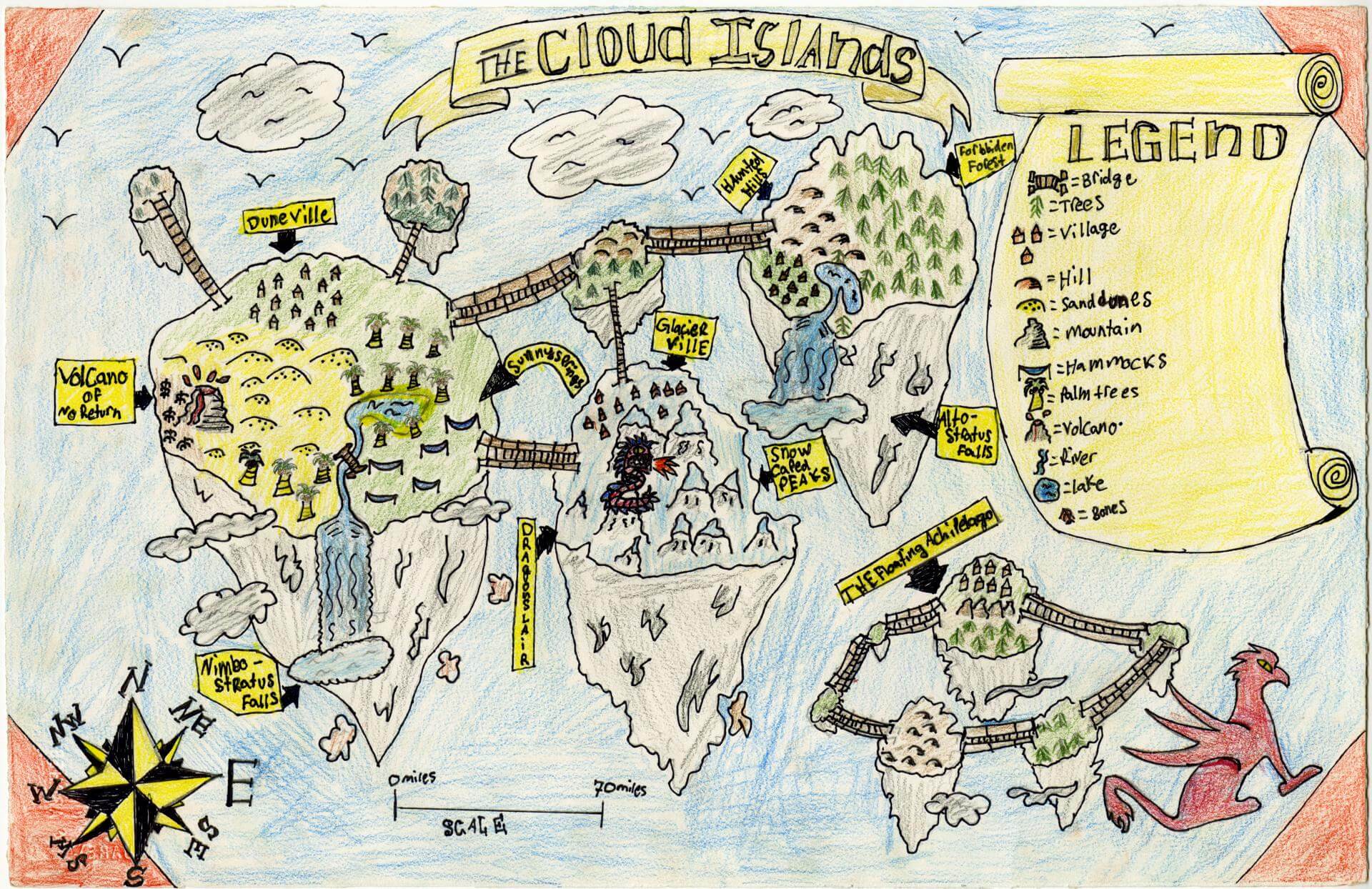
Gusto T. of Brunswick
Brunswick Junior High – 6th Grade.
See larger at https://oshermaps.org/wp-content/uploads/2025/05/25.167.jpg
Flower Island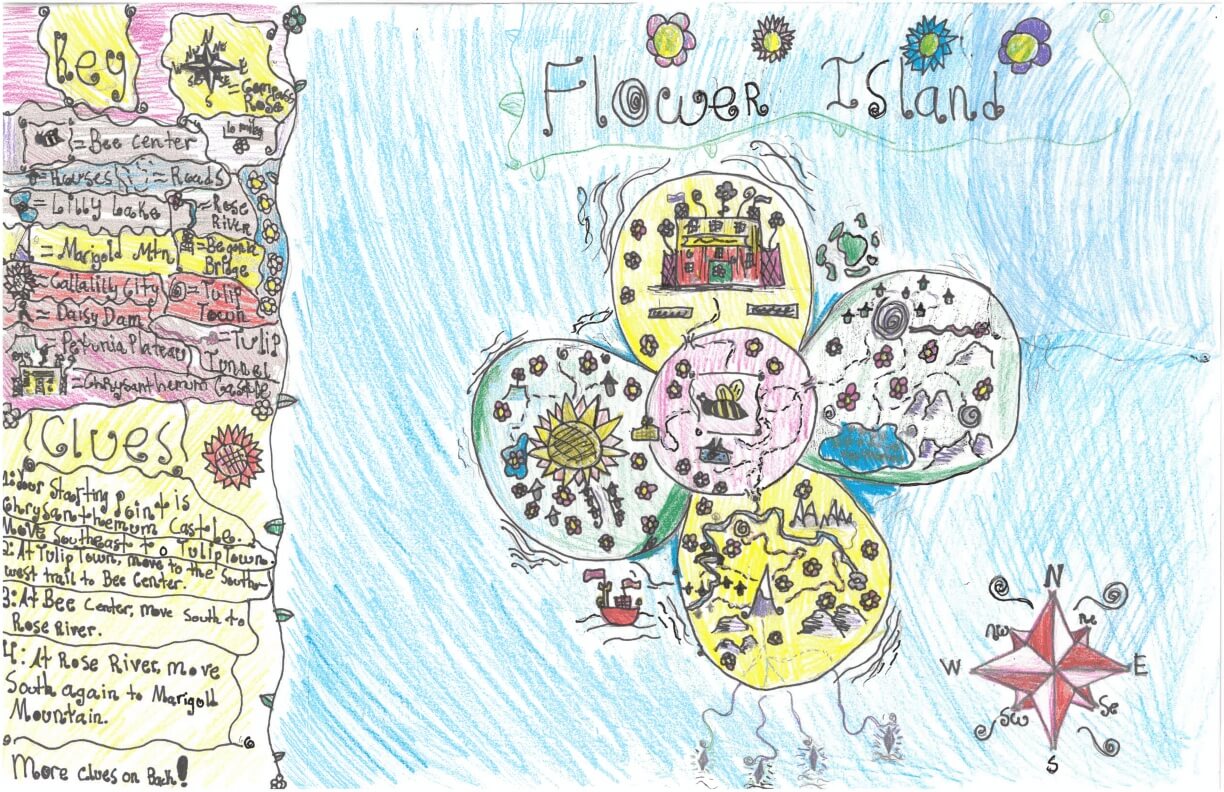
Gwen S. of York
York Middle School – 6th Grade.
See larger at https://oshermaps.org/wp-content/uploads/2025/05/25.293.jpg
Hobbit Hole Island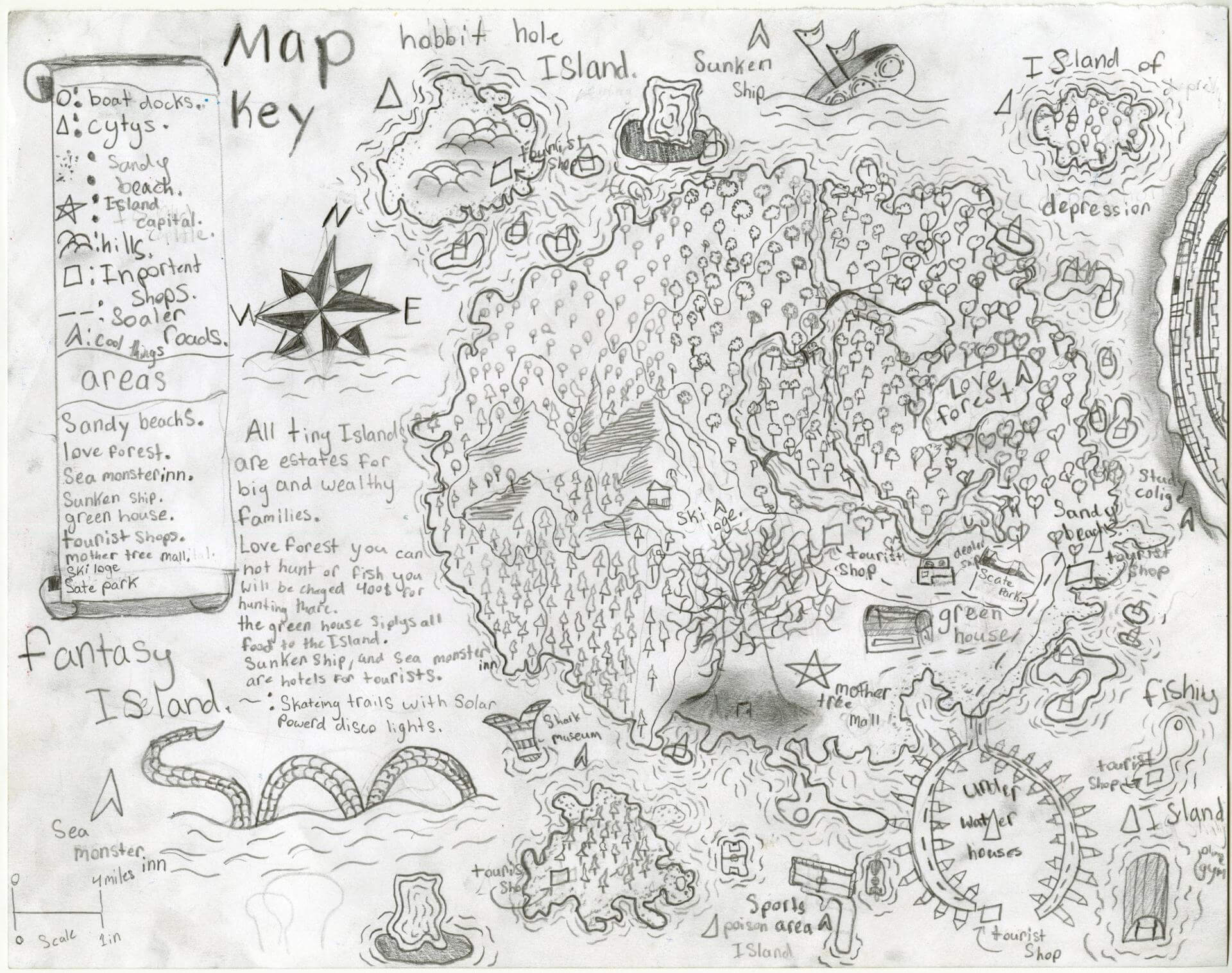
Gweneth A. of Oxford
Oxford Elementary – 5th Grade.
See larger at https://oshermaps.org/wp-content/uploads/2025/05/25.184.jpg
The Sacred Mythical Island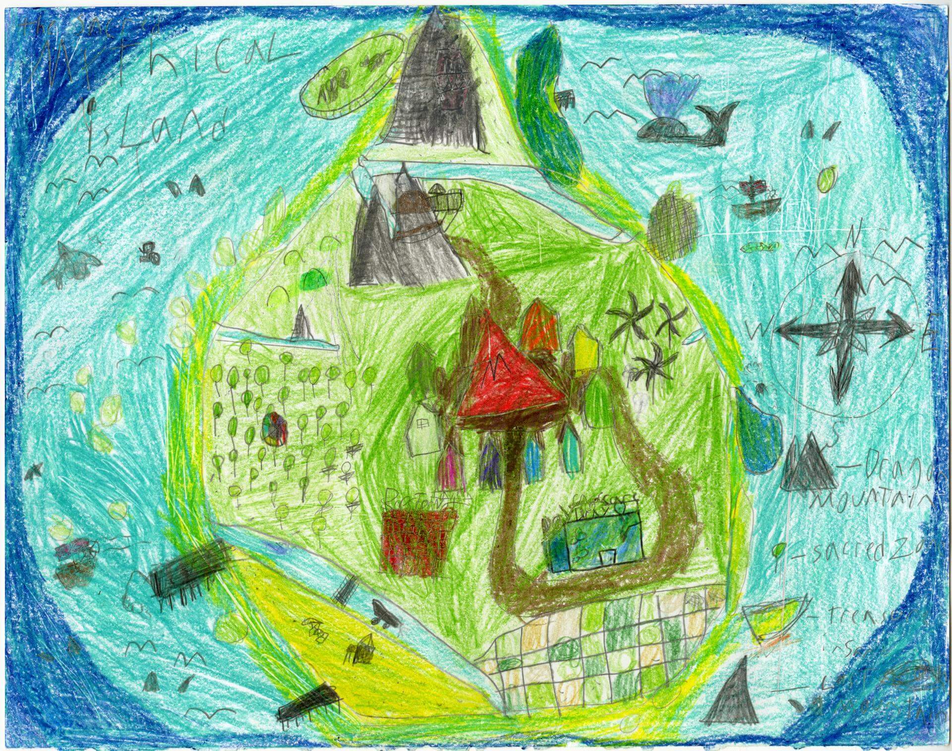
Hadley O. of Oxford
Oxford Elementary – 5th Grade.
See larger at https://oshermaps.org/wp-content/uploads/2025/05/25.185.jpg
Once on this Island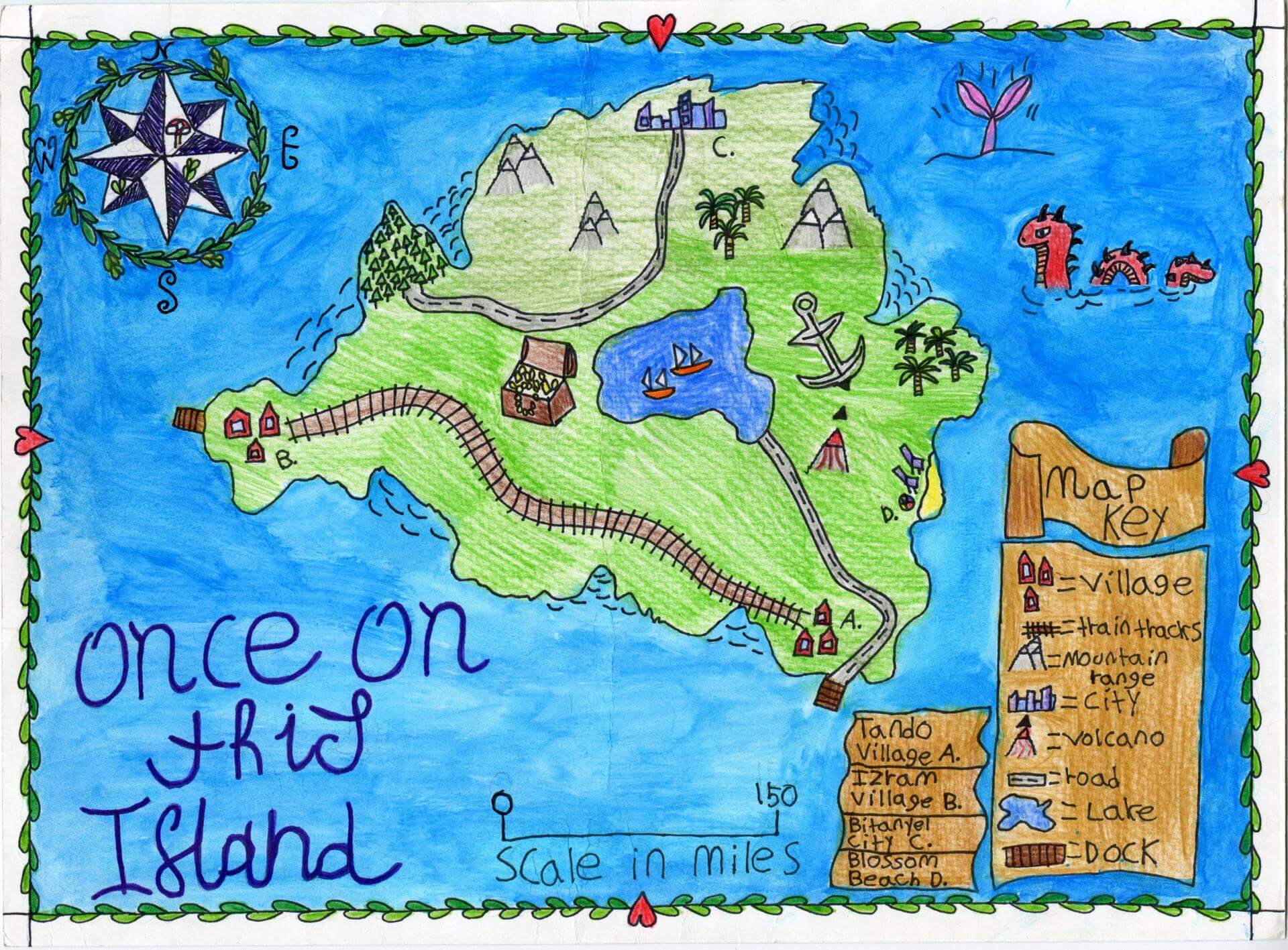
Hailey M. of Brunswick
Brunswick Jr. High – 6th Grade.
See larger at https://oshermaps.org/wp-content/uploads/2025/05/25.093.jpg
The Lost World
Hal T. of Brunswick
HBS – 4th Grade.
See larger at https://oshermaps.org/wp-content/uploads/2025/05/25.002.jpg
Grape Island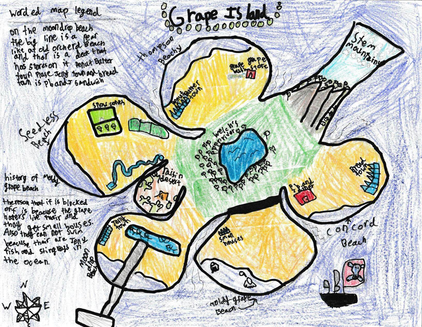
Haley B. of Gorham
Great Falls Elementary School – 4th Grade.
See larger at https://oshermaps.org/wp-content/uploads/2025/05/25.315.jpg
The Island in the Sky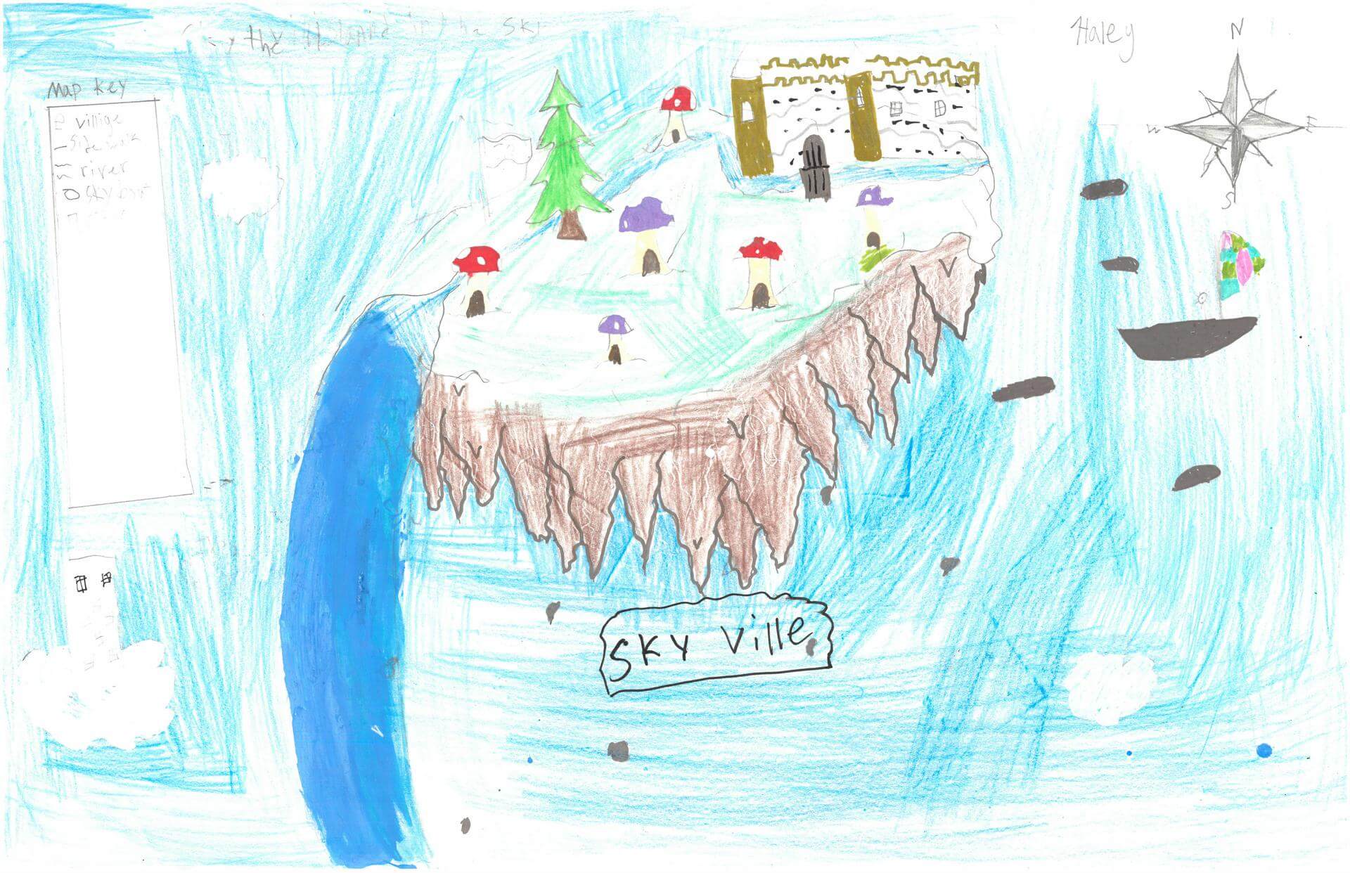
Haley H. of Damariscotta
Great Salt Bay School – 5th Grade.
See larger at https://oshermaps.org/wp-content/uploads/2025/05/25.241.jpg
Animal Shore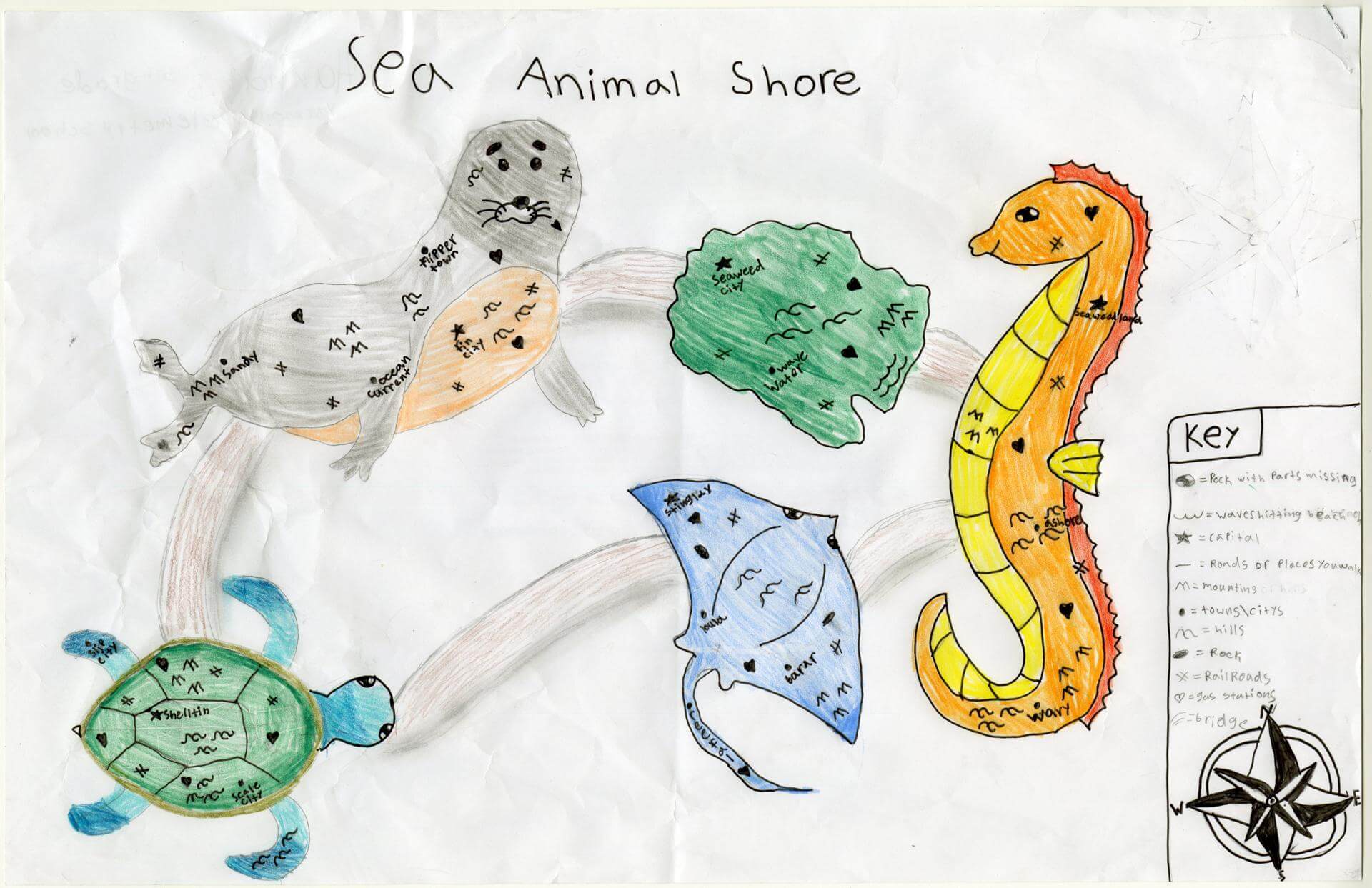
Hannah B. of Yarmouth
Yarmouth Elementary – 5th Grade.
See larger at https://oshermaps.org/wp-content/uploads/2025/05/25.052.jpg
Seashell Cove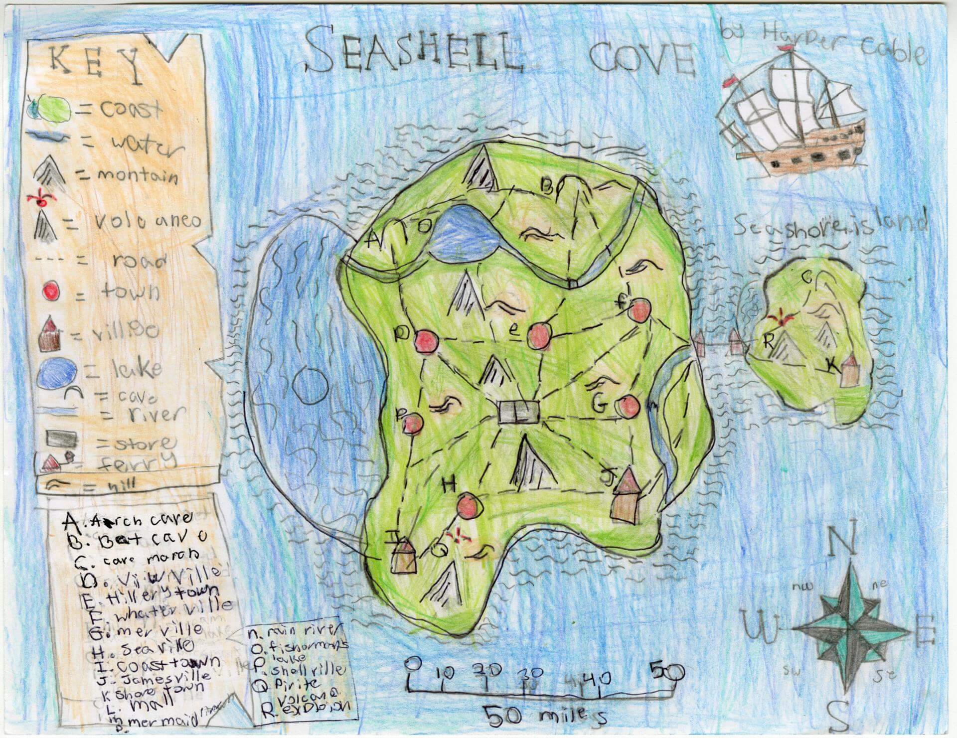
Harper C. of Limerick
Narragansett – 4th Grade.
See larger at https://oshermaps.org/wp-content/uploads/2025/05/25.194.jpg
Map of Shard
Hartley B. of Freeport
Maine Coast Waldorf School – 4th Grade.
See larger at https://oshermaps.org/wp-content/uploads/2025/05/25.321.jpg
Malala Island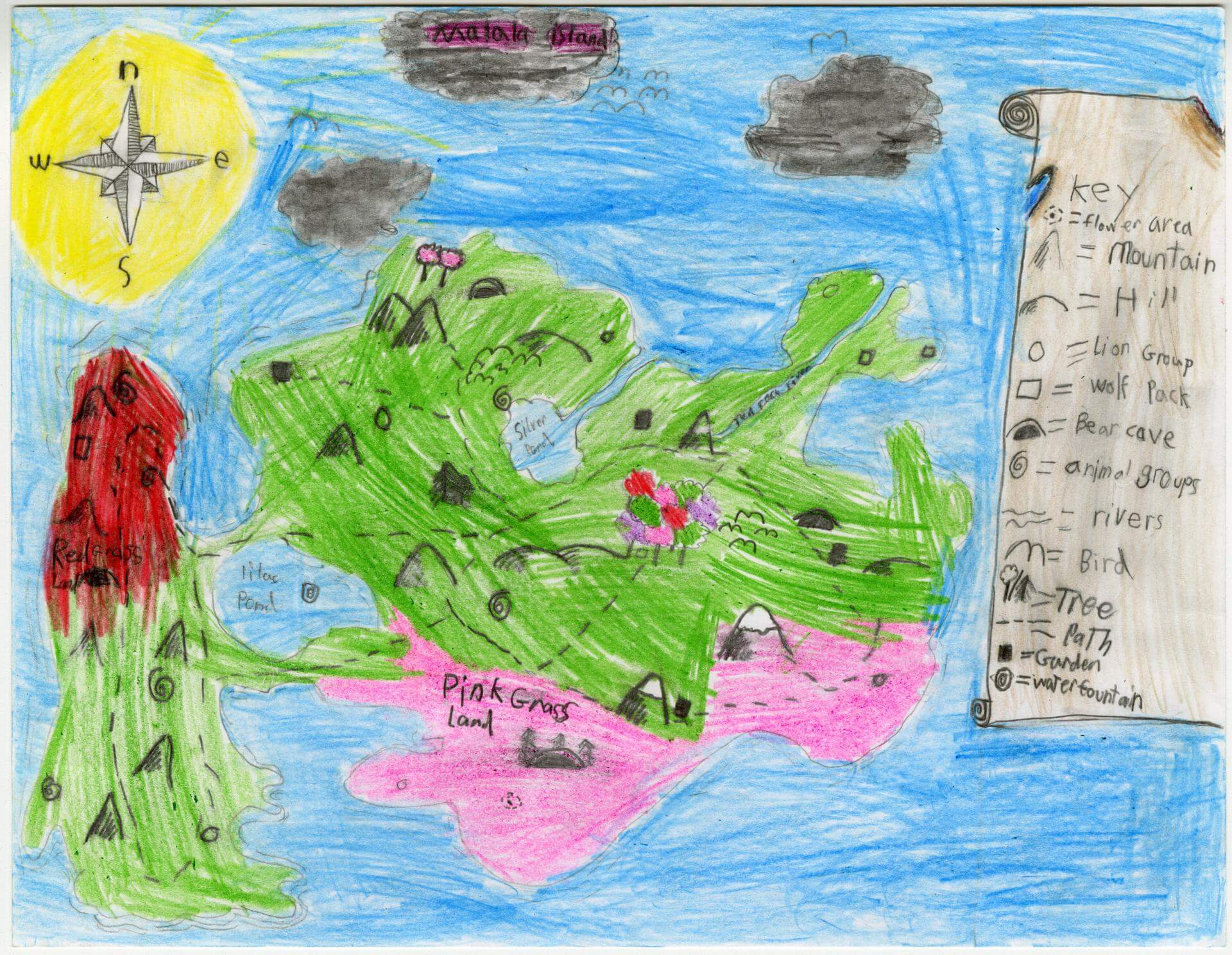
Hayden W. of Gorham
Narragansett Elementary – 4th Grade.
See larger at https://oshermaps.org/wp-content/uploads/2025/05/25.118.jpg
Christmas Island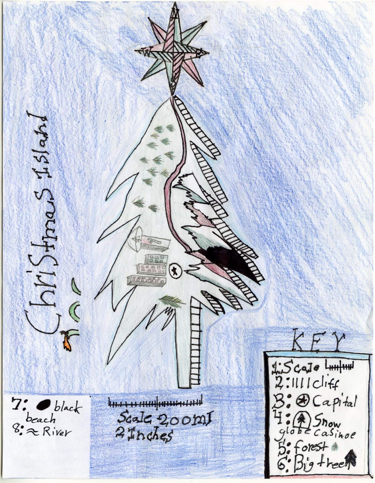
Henrick O. of Brunswick
Brunswick Jr. High – 6th Grade.
See larger at https://oshermaps.org/wp-content/uploads/2025/05/25.146.jpg
Tropical Island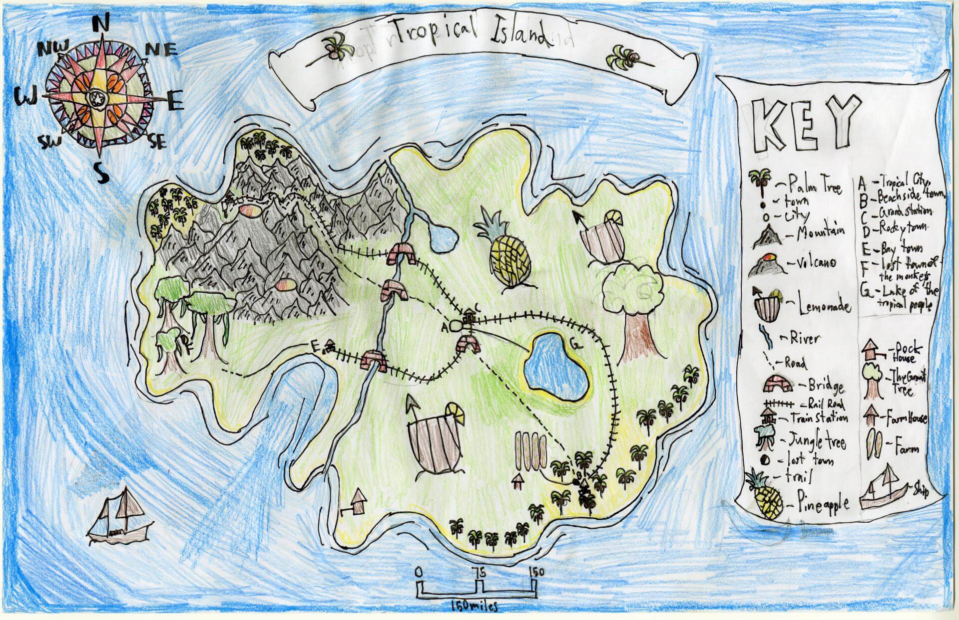
Henry F. of Brunswick
Brunswick Jr. High – 6th Grade.
See larger at https://oshermaps.org/wp-content/uploads/2025/05/25.069.jpg
The Compass Islands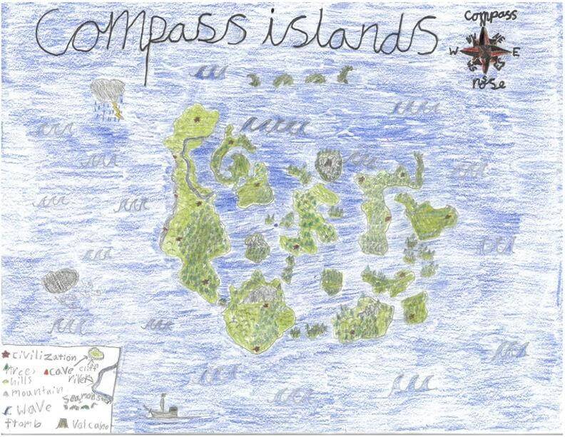
Henry G. of Freeport
Maine Coast Waldorf School – 4th Grade.
See larger at https://oshermaps.org/wp-content/uploads/2025/05/25.310.jpg
Imagination Island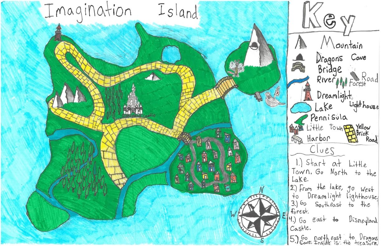
Holly S. of York
York Middle School – 6th Grade.
See larger at https://oshermaps.org/wp-content/uploads/2025/05/25.284.jpg
Carrot Island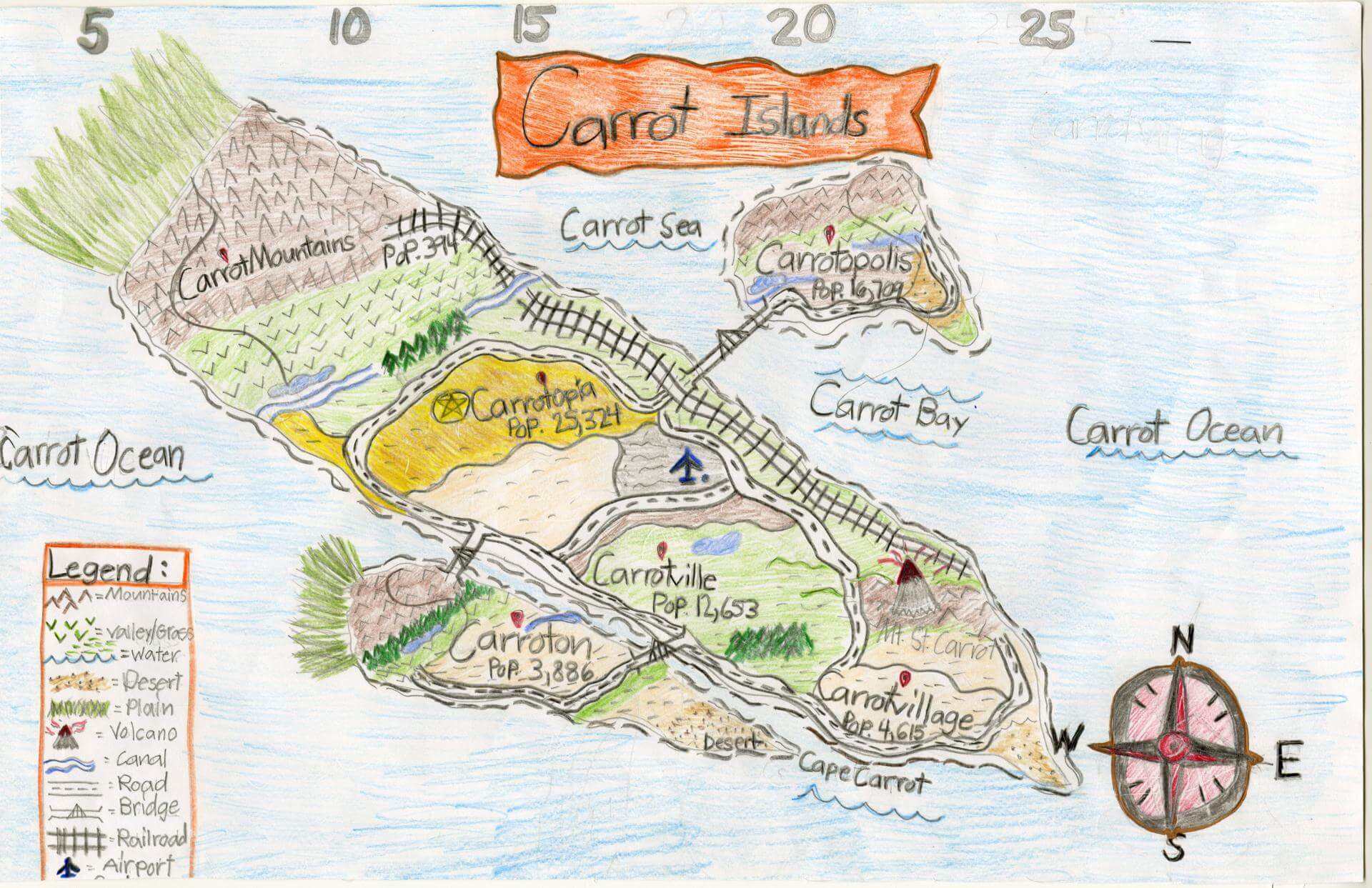
Hudson W. of Yarmouth
Yarmouth Elementary – 5th Grade.
See larger at https://oshermaps.org/wp-content/uploads/2025/05/25.061.jpg
Palm Tree Island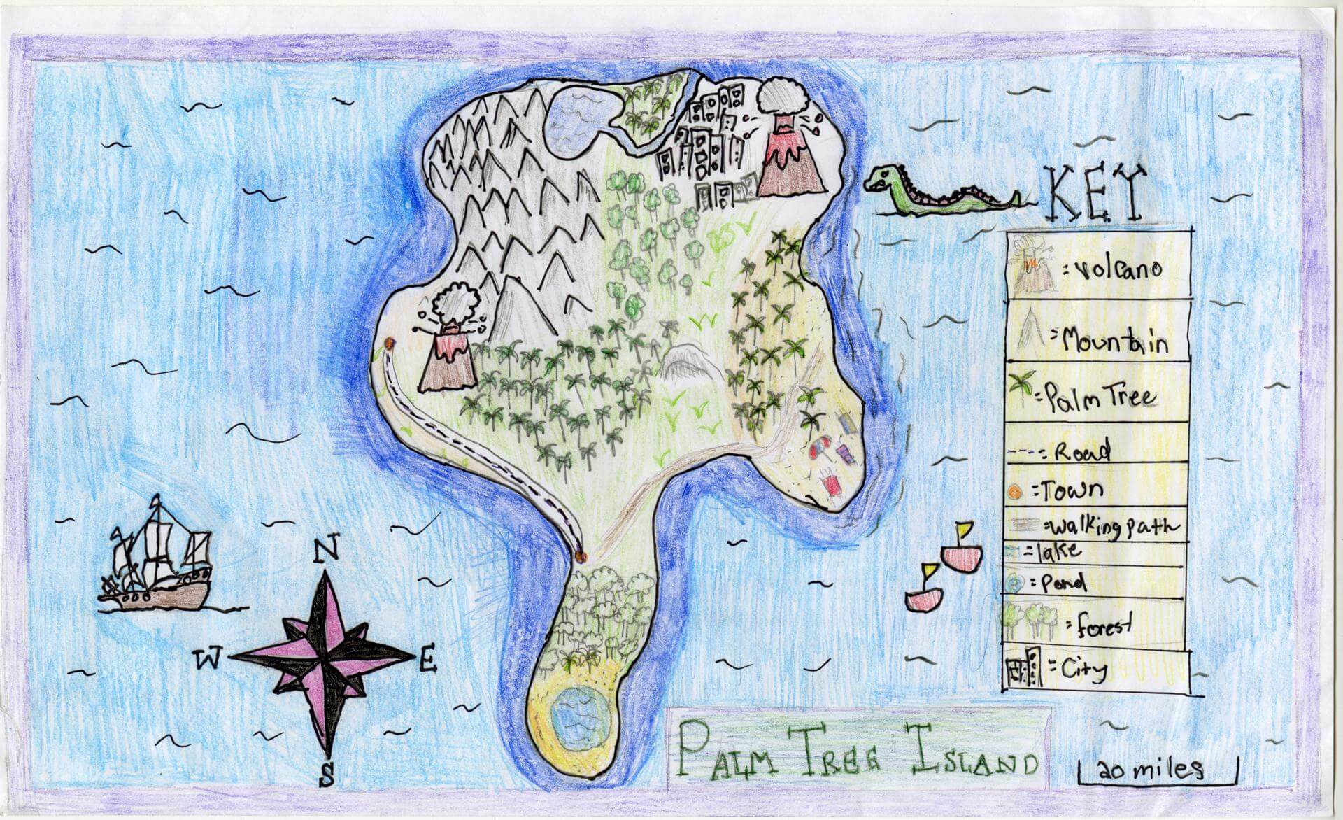
Ida L. of Brunswick
Brunswick Jr. High – 6th Grade.
See larger at https://oshermaps.org/wp-content/uploads/2025/05/25.150.jpg
Holiday Island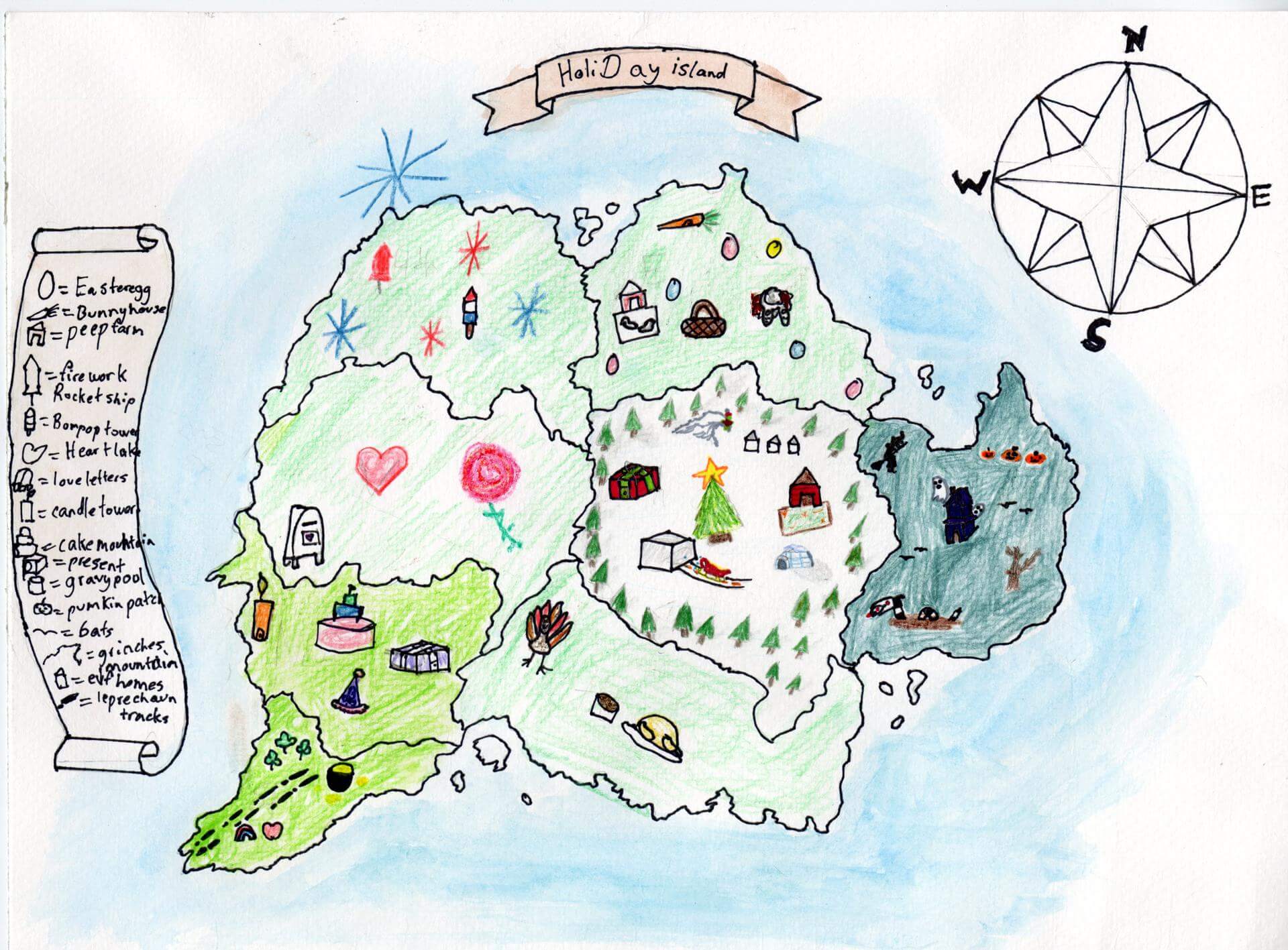
Idella L. of Brunswick
Brunswick Jr. High – 6th Grade.
See larger at https://oshermaps.org/wp-content/uploads/2025/05/25.096.jpg
Candy Island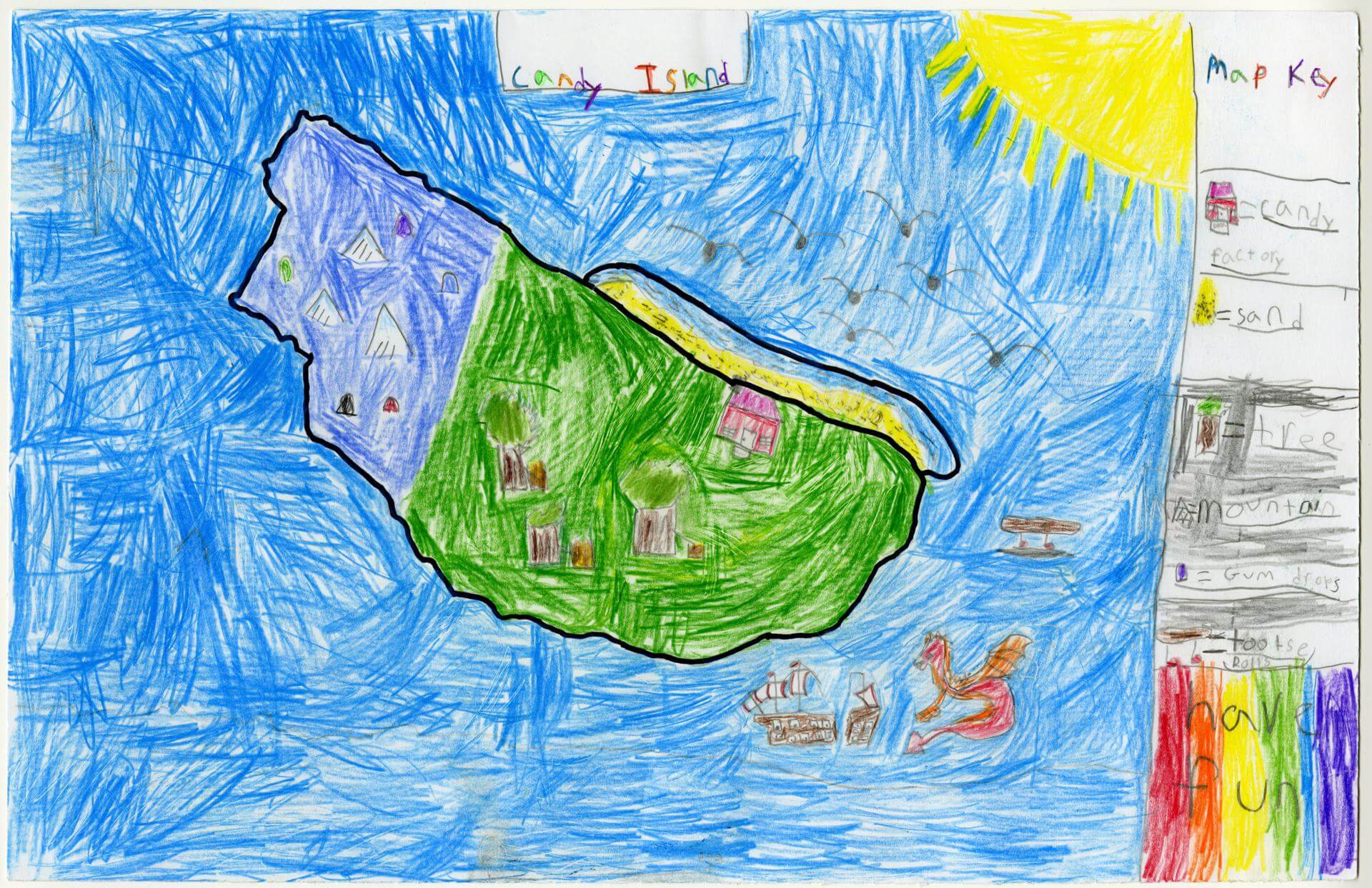
Indi B. of Gorham
Narragansett Elementary – 4th Grade.
See larger at https://oshermaps.org/wp-content/uploads/2025/05/25.035.jpg
Urban Legend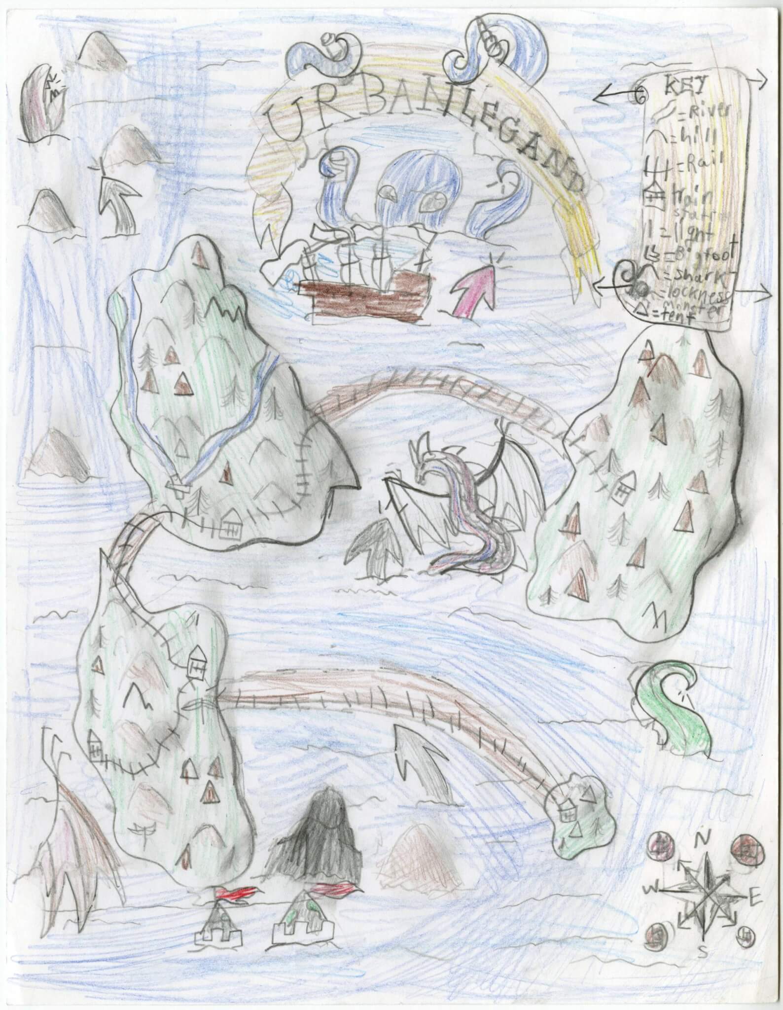
Iola B. of Gorham
Narragansett Elementary – 4th Grade.
See larger at https://oshermaps.org/wp-content/uploads/2025/05/25.113.jpg
Wolf Island!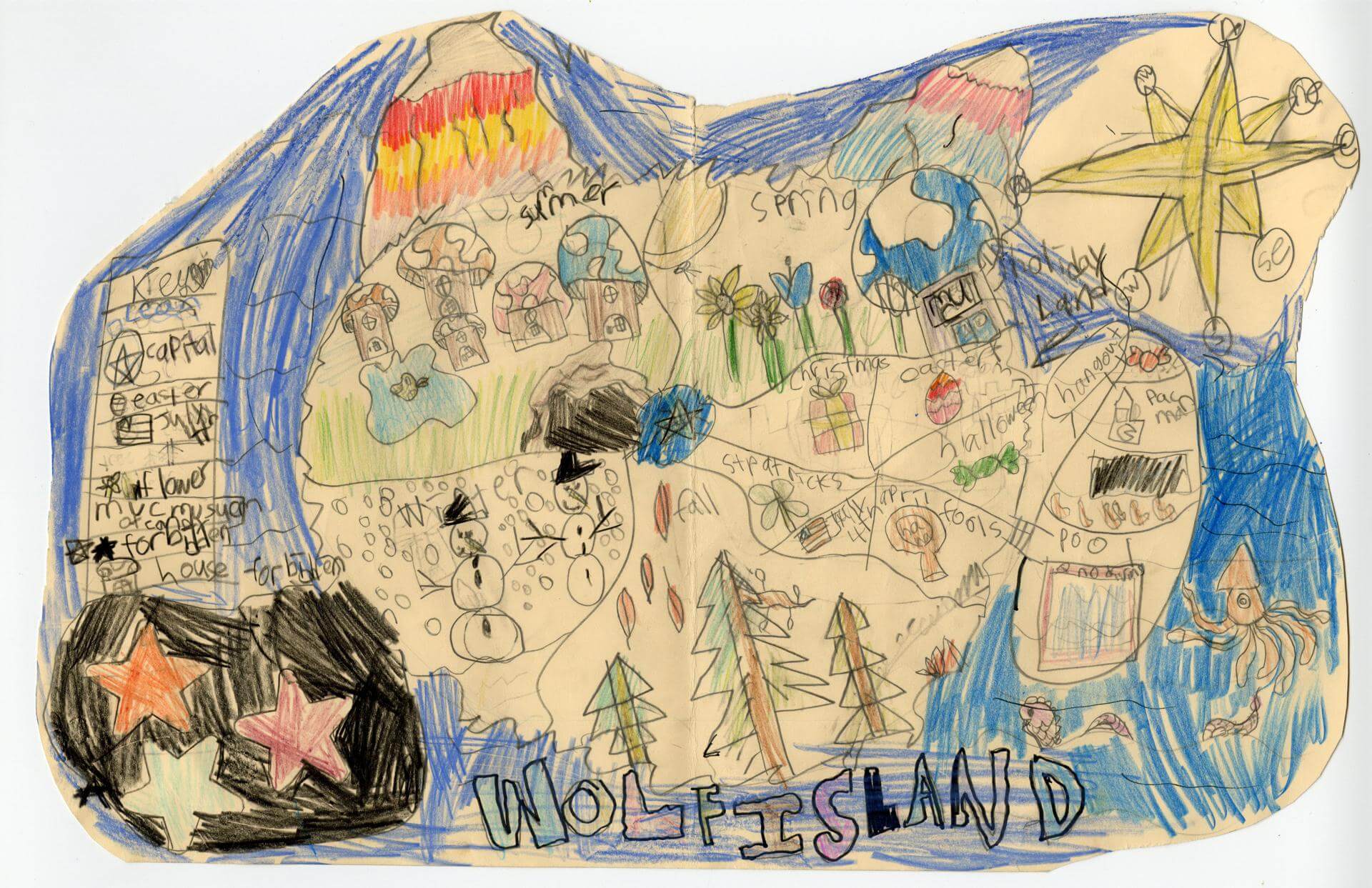
Isaac L. of Brunswick
Harriet Beecher Stowe Elem – 4th Grade.
See larger at https://oshermaps.org/wp-content/uploads/2025/05/25.024.jpg
Wolf Island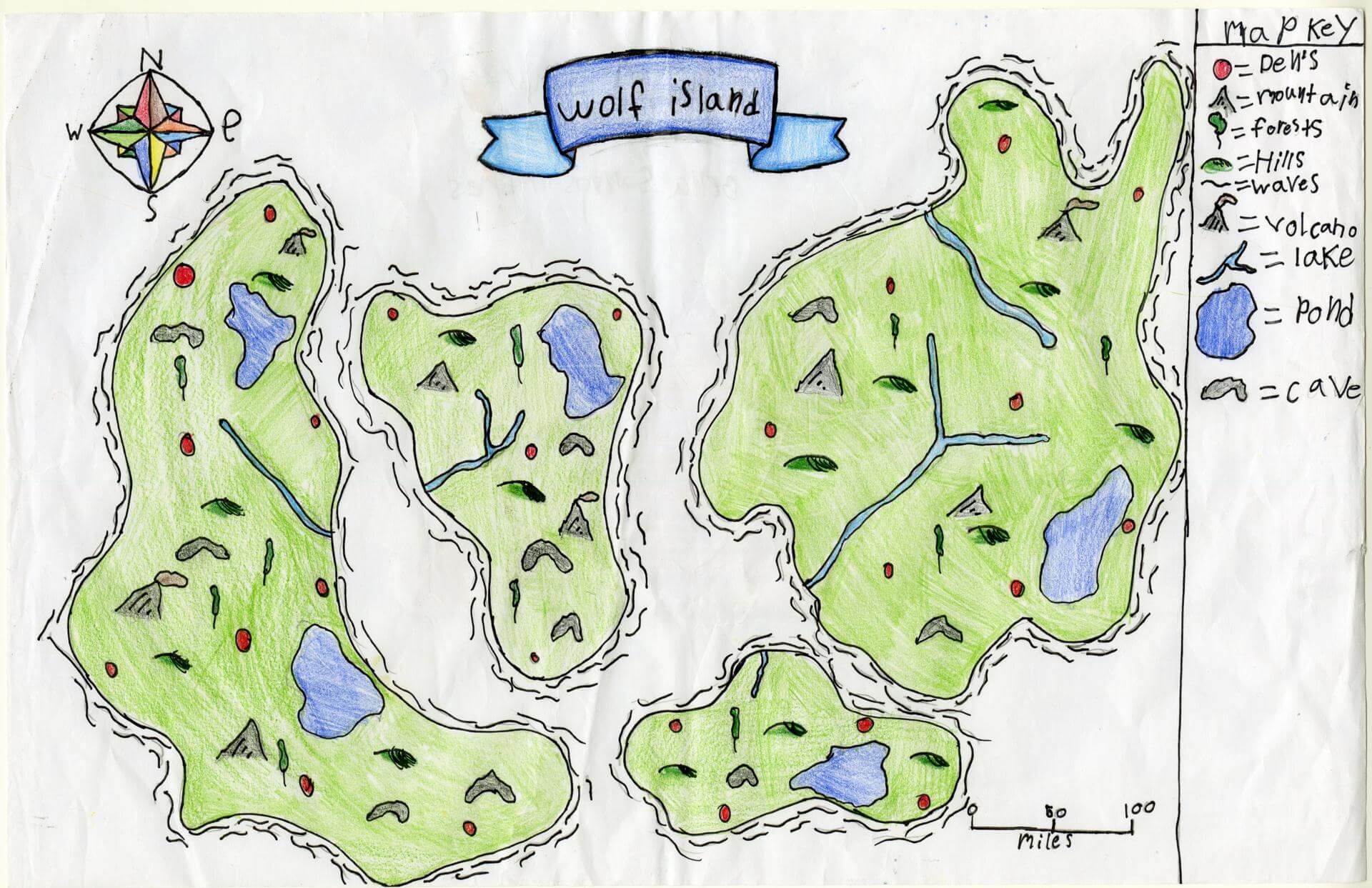
Isabella S. of Brunswick
Brunswick Jr. High – 6th Grade.
See larger at https://oshermaps.org/wp-content/uploads/2025/05/25.070.jpg
Koala Isles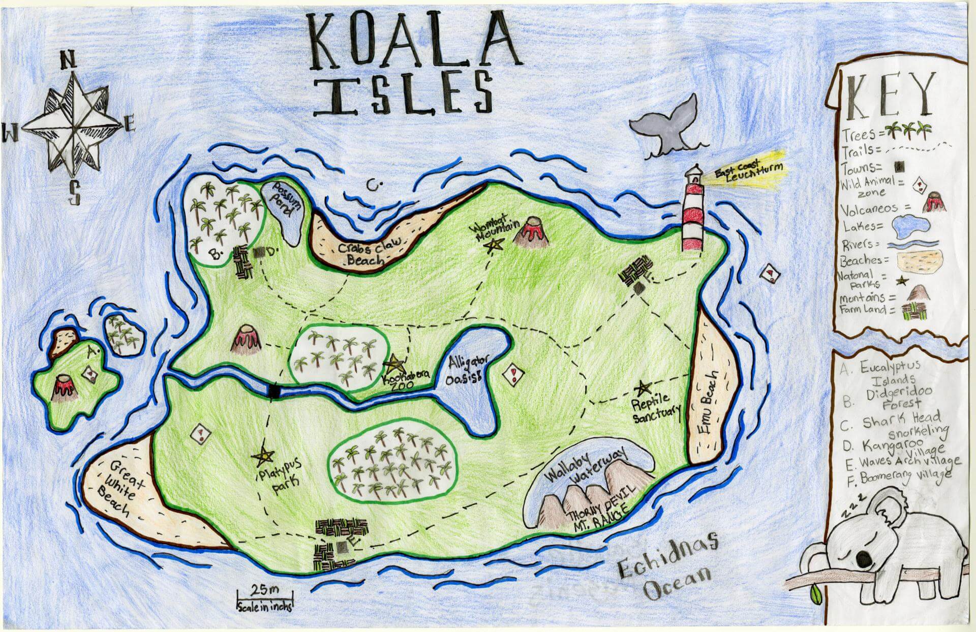
Isabelle M. of Brunswick
Brunswick Jr. High – 6th Grade.
See larger at https://oshermaps.org/wp-content/uploads/2025/05/25.075.jpg
The Lost Islands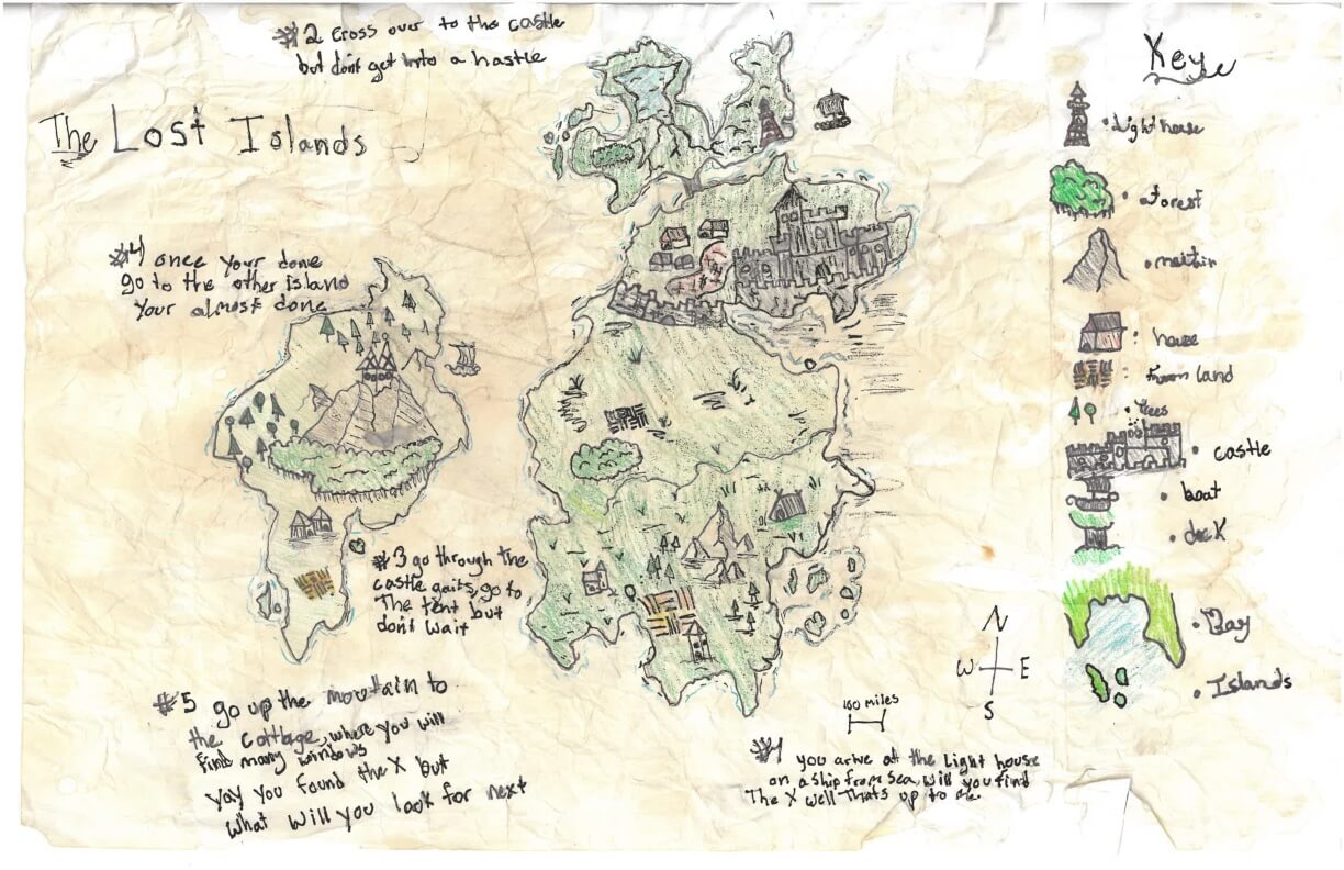
Isla D. of York
York Middle School – 6th Grade.
See larger at https://oshermaps.org/wp-content/uploads/2025/05/25.264.jpg
Element Islands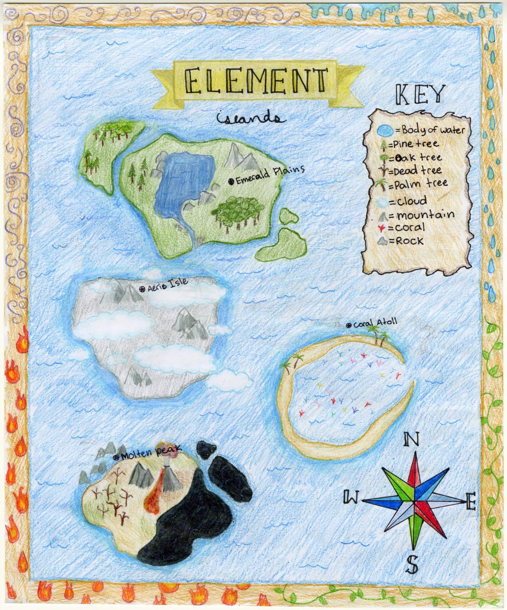
Isla E. of Brunswick
Brunswick Jr. High – 6th Grade.
See larger at https://oshermaps.org/wp-content/uploads/2025/05/25.136.jpg
Stephen King’s Maine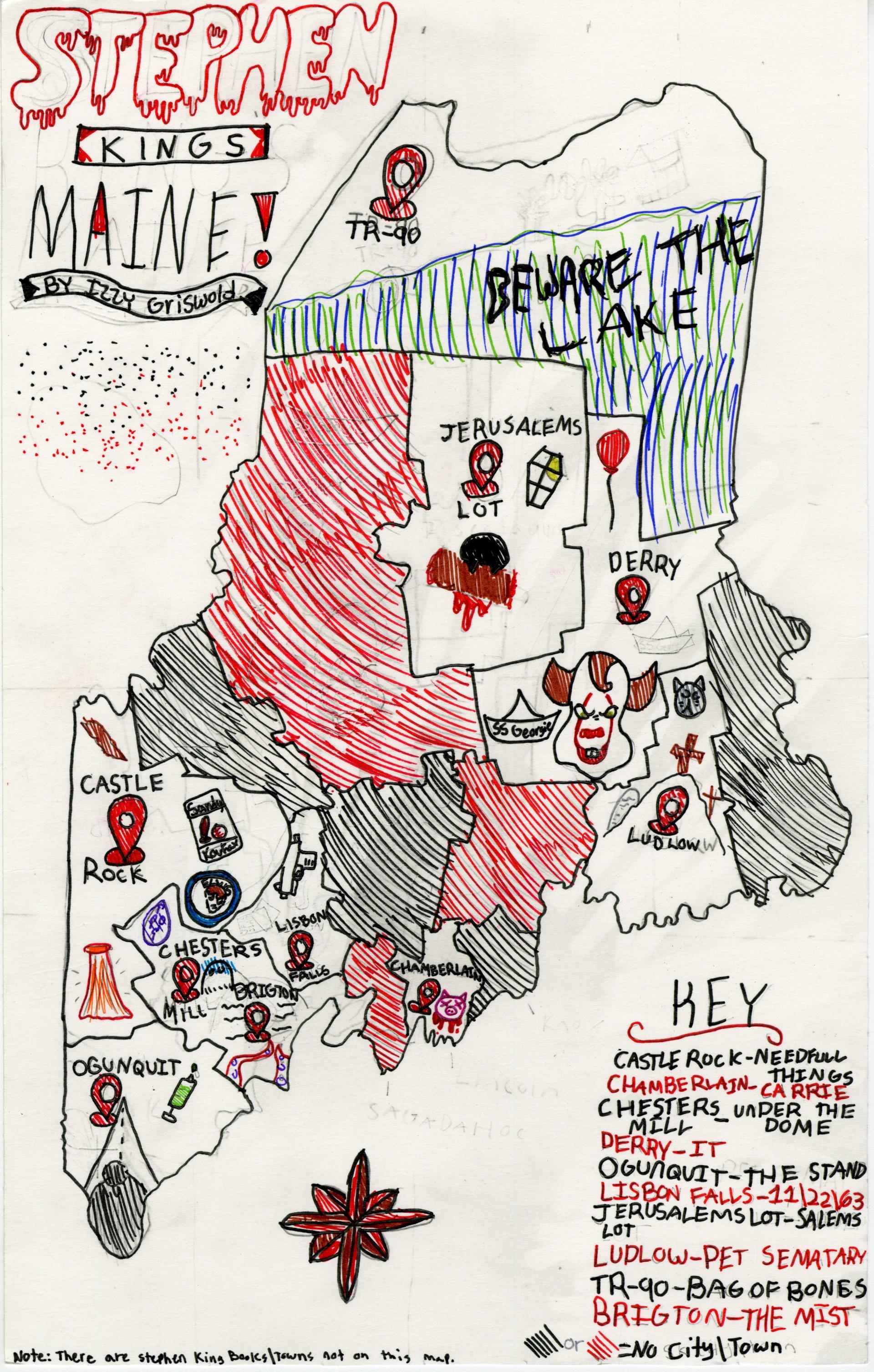
Isobel G. of Portland
Breakwater School – 6th Grade.
See larger at https://oshermaps.org/wp-content/uploads/2025/05/25.044.jpg
French Island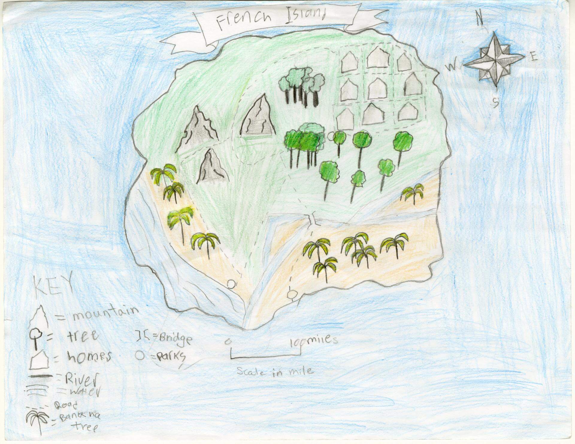
Israel F. of Brunswick
Brunswick Jr. High – 6th Grade.
See larger at https://oshermaps.org/wp-content/uploads/2025/05/25.131.jpg
The Land of Senjara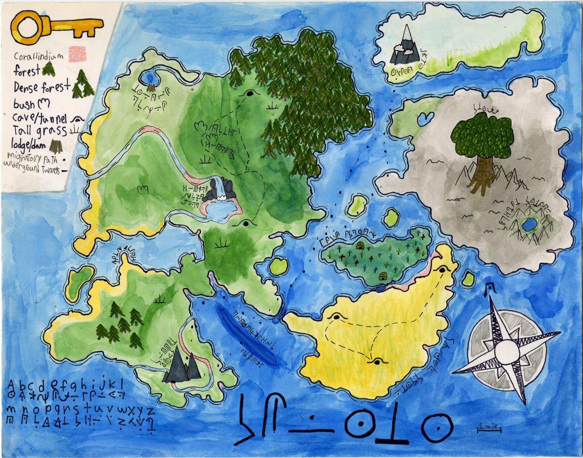
Ivan D. of Portland
Homeschooled – 6th Grade.
See larger at https://oshermaps.org/wp-content/uploads/2025/05/25.043.jpg
Big Scoop Island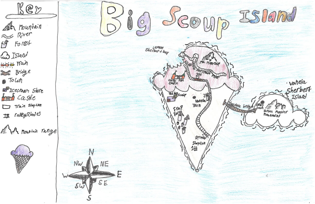
Jack F. of York
York Middle School – 6th Grade.
See larger at https://oshermaps.org/wp-content/uploads/2025/05/25.299.jpg
Allfellow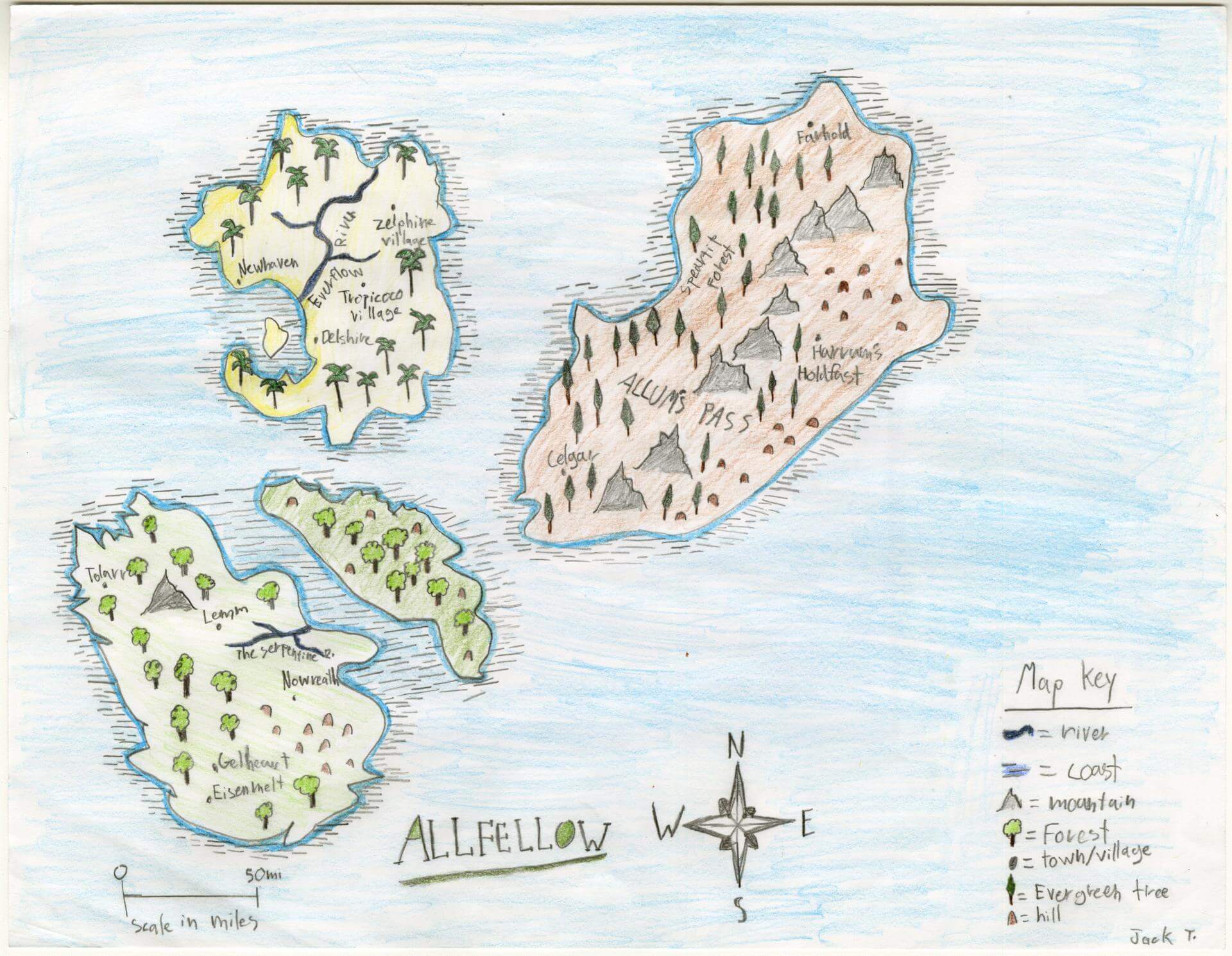
Jack T. of Brunswick
Brunswick Jr. High – 6th Grade.
See larger at https://oshermaps.org/wp-content/uploads/2025/05/25.143.jpg
Croissant Island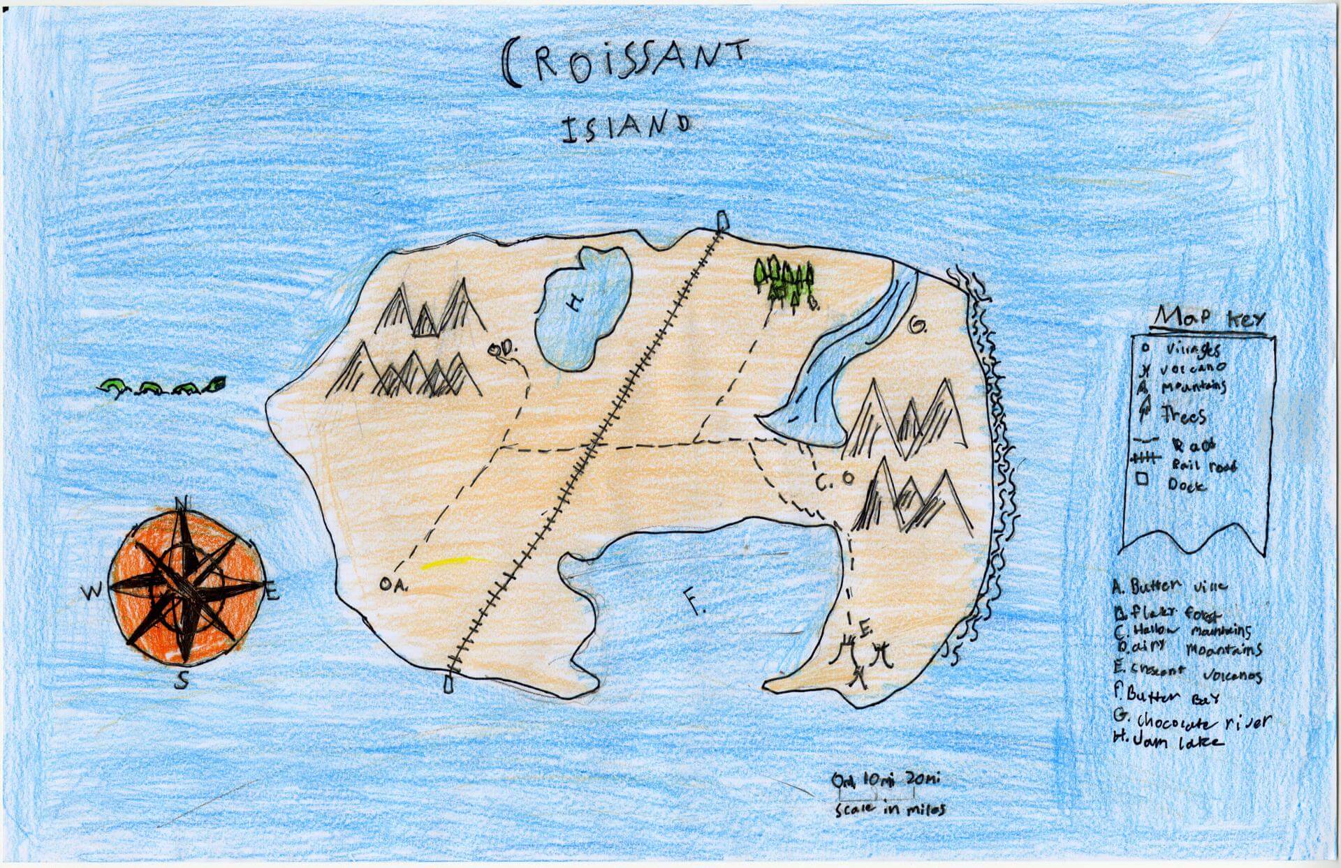
Jackson S. of Brunswick
Brunswick Junior HIgh – 6th Grade.
See larger at https://oshermaps.org/wp-content/uploads/2025/05/25.172.jpg
Time Island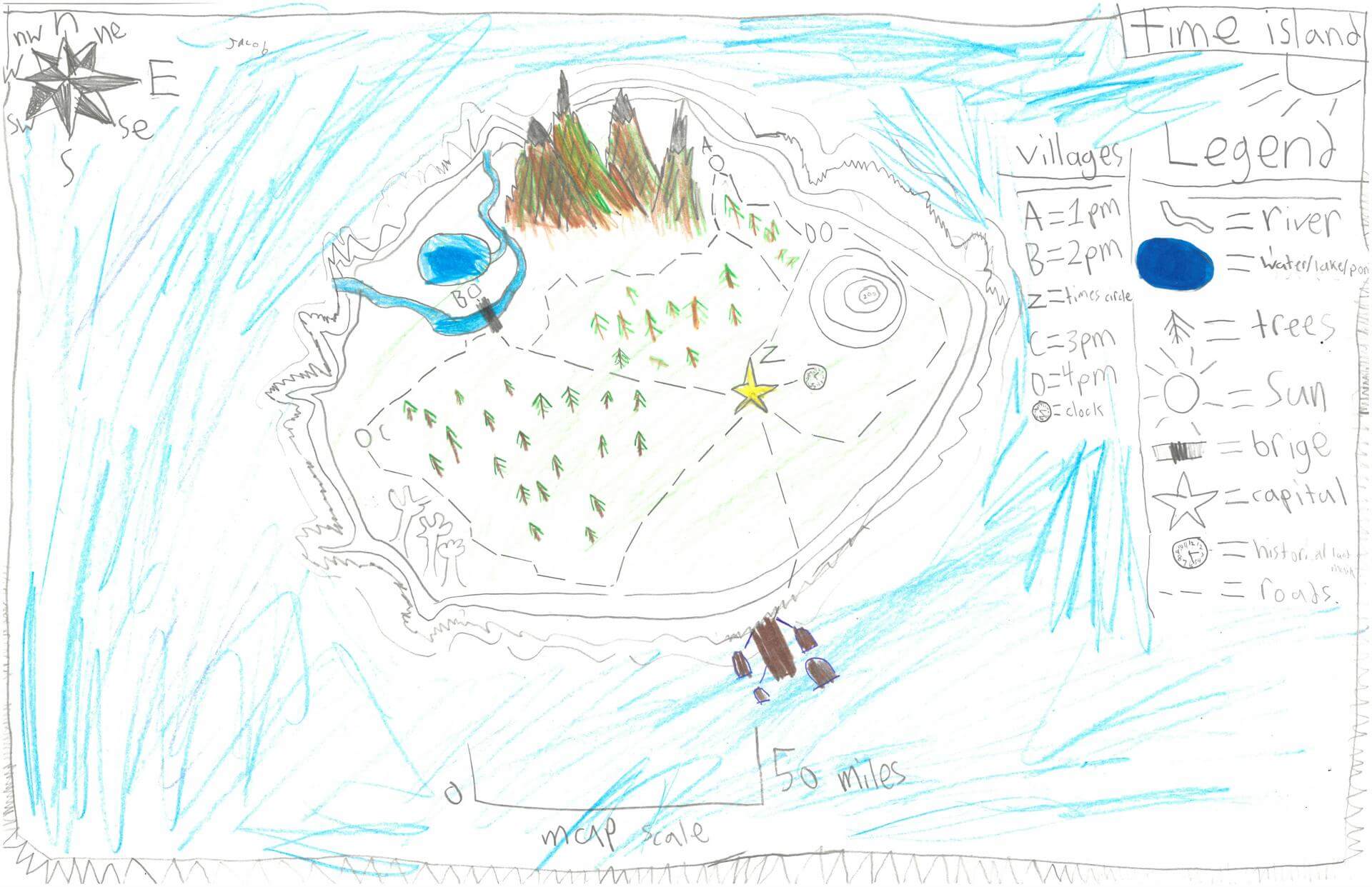
Jacob M. of Damariscotta
Great Salt Bay School – 5th Grade.
See larger at https://oshermaps.org/wp-content/uploads/2025/05/25.240.jpg
Jabaral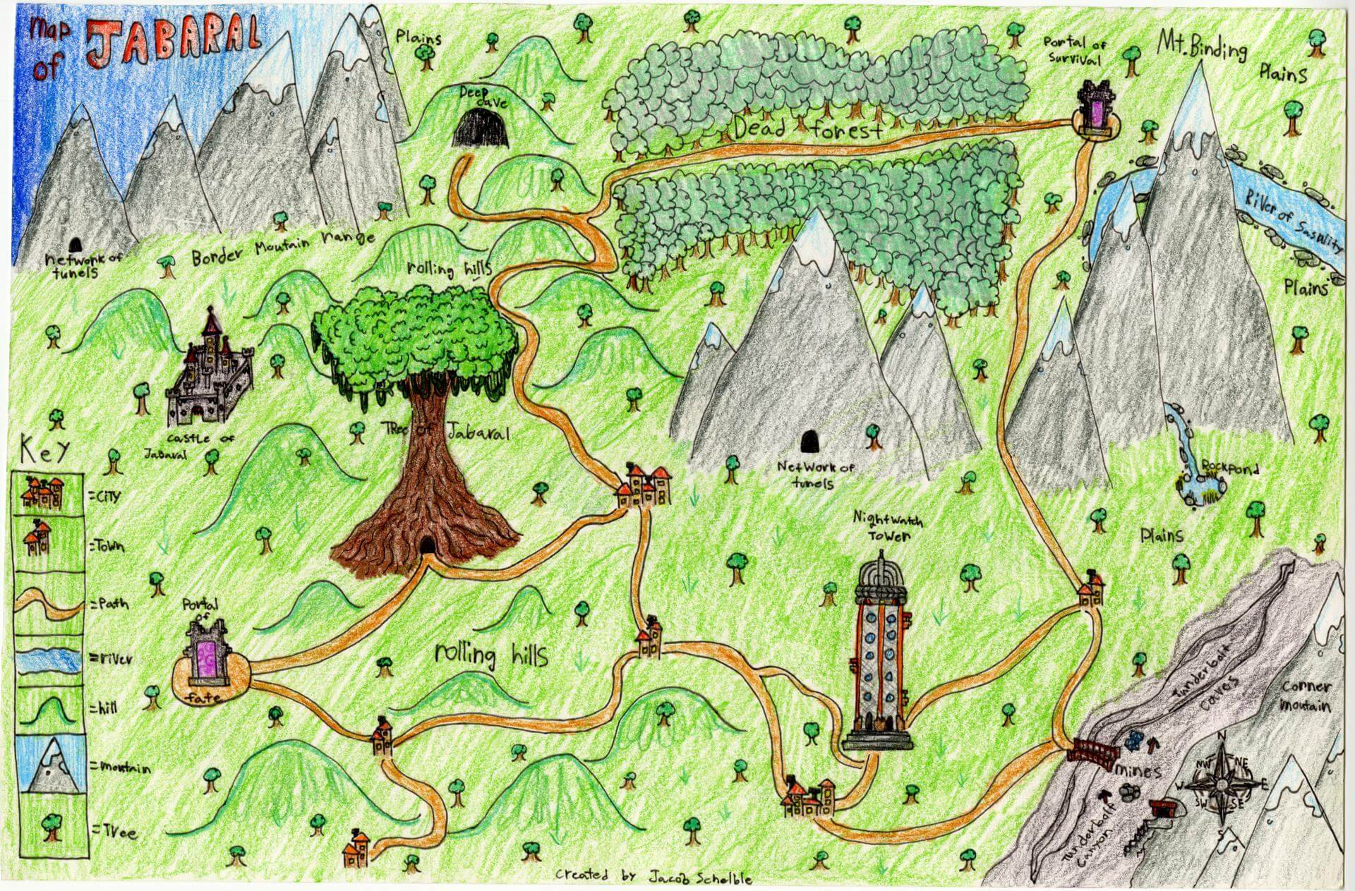
Jacob S. of Brunswick
Harriet Beecher Stowe Elem – 5th Grade.
See larger at https://oshermaps.org/wp-content/uploads/2025/05/25.012.jpg
Gemstone Island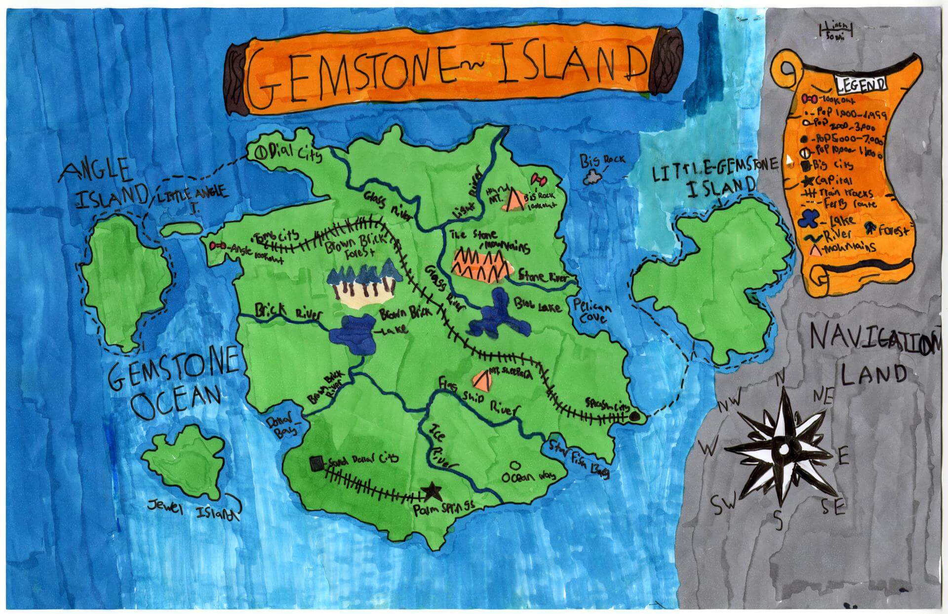
Jacob S. of Yarmouth
Yarmouth Elementary – 5th Grade.
See larger at https://oshermaps.org/wp-content/uploads/2025/05/25.055.jpg
The USA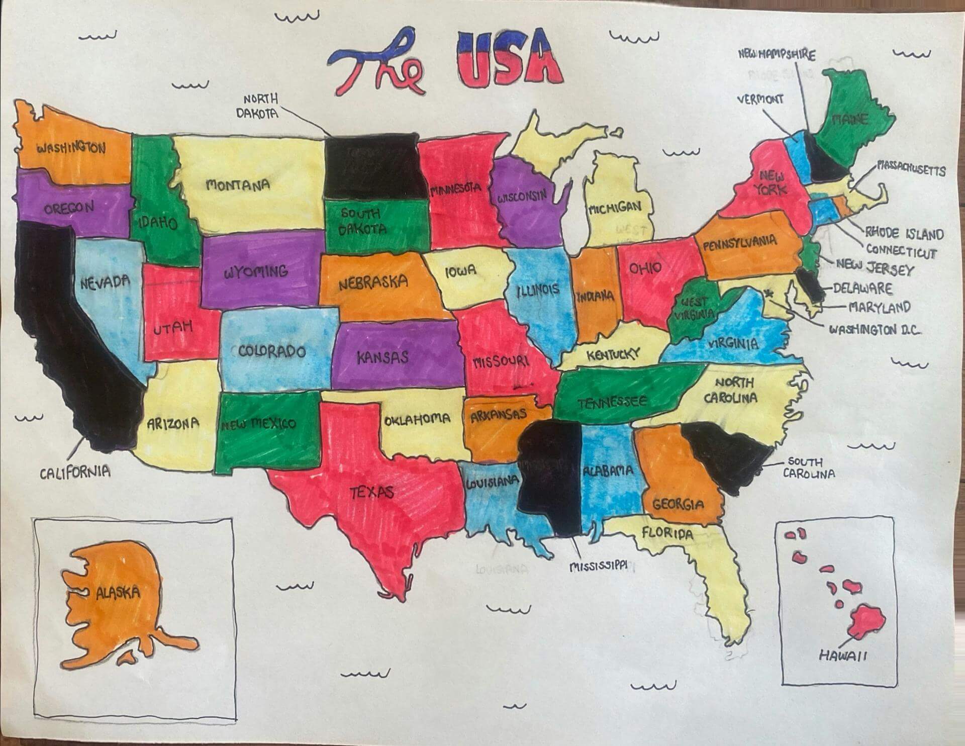
Jake V. of Scarborough
Wentworth – 4th Grade.
See larger at https://oshermaps.org/wp-content/uploads/2025/05/25.320.jpg
Ping Pong Island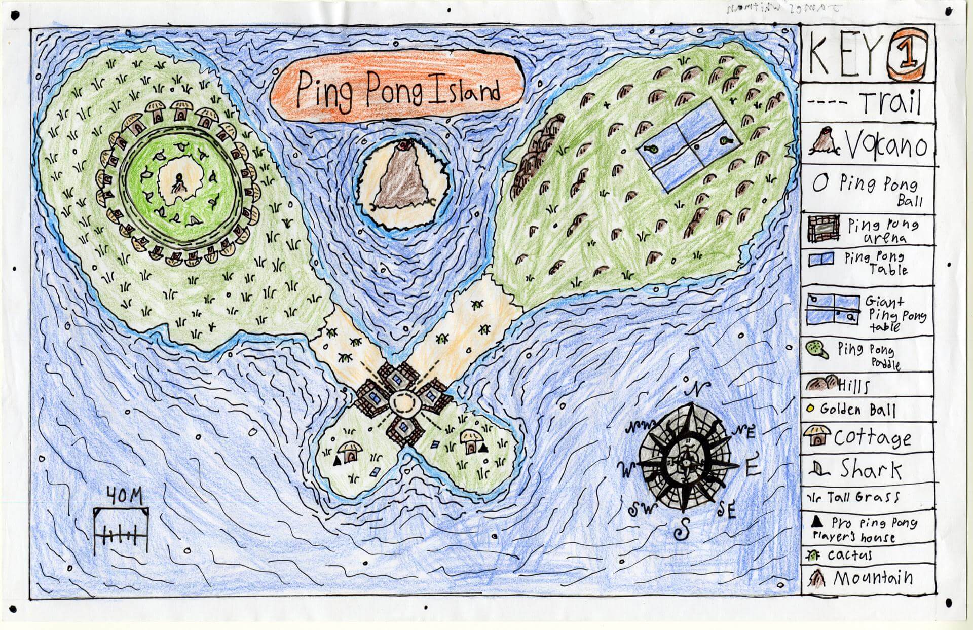
James W. of Brunswick
Brunswick Jr. High – 6th Grade.
See larger at https://oshermaps.org/wp-content/uploads/2025/05/25.074.jpg
Rock Island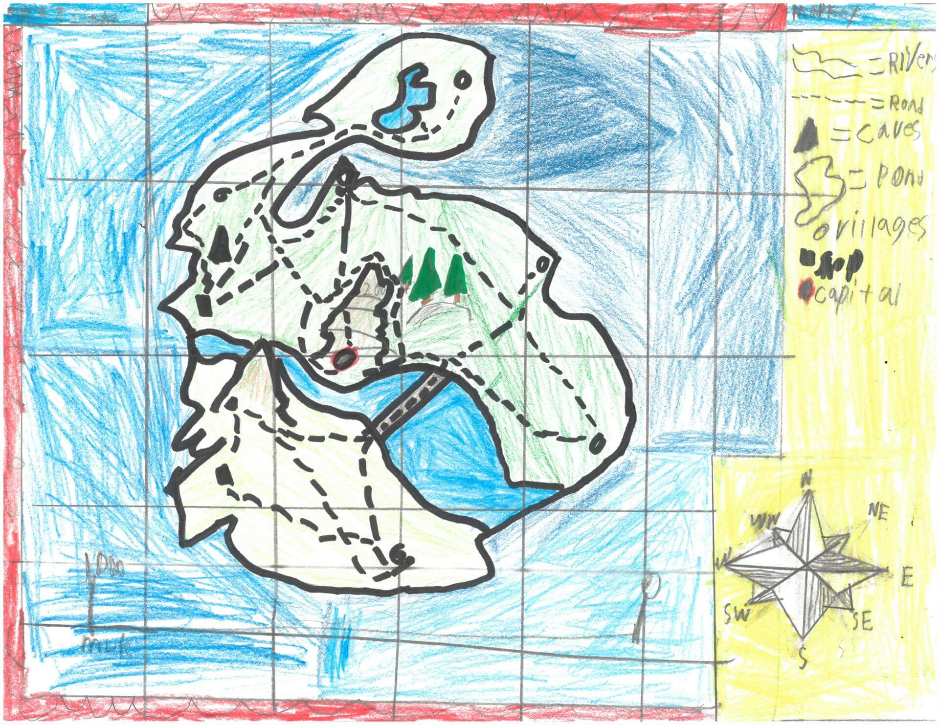
Jamison B. of Damariscotta
Great Salt Bay School – 5th Grade.
See larger at https://oshermaps.org/wp-content/uploads/2025/05/25.297.jpg
Destiny Island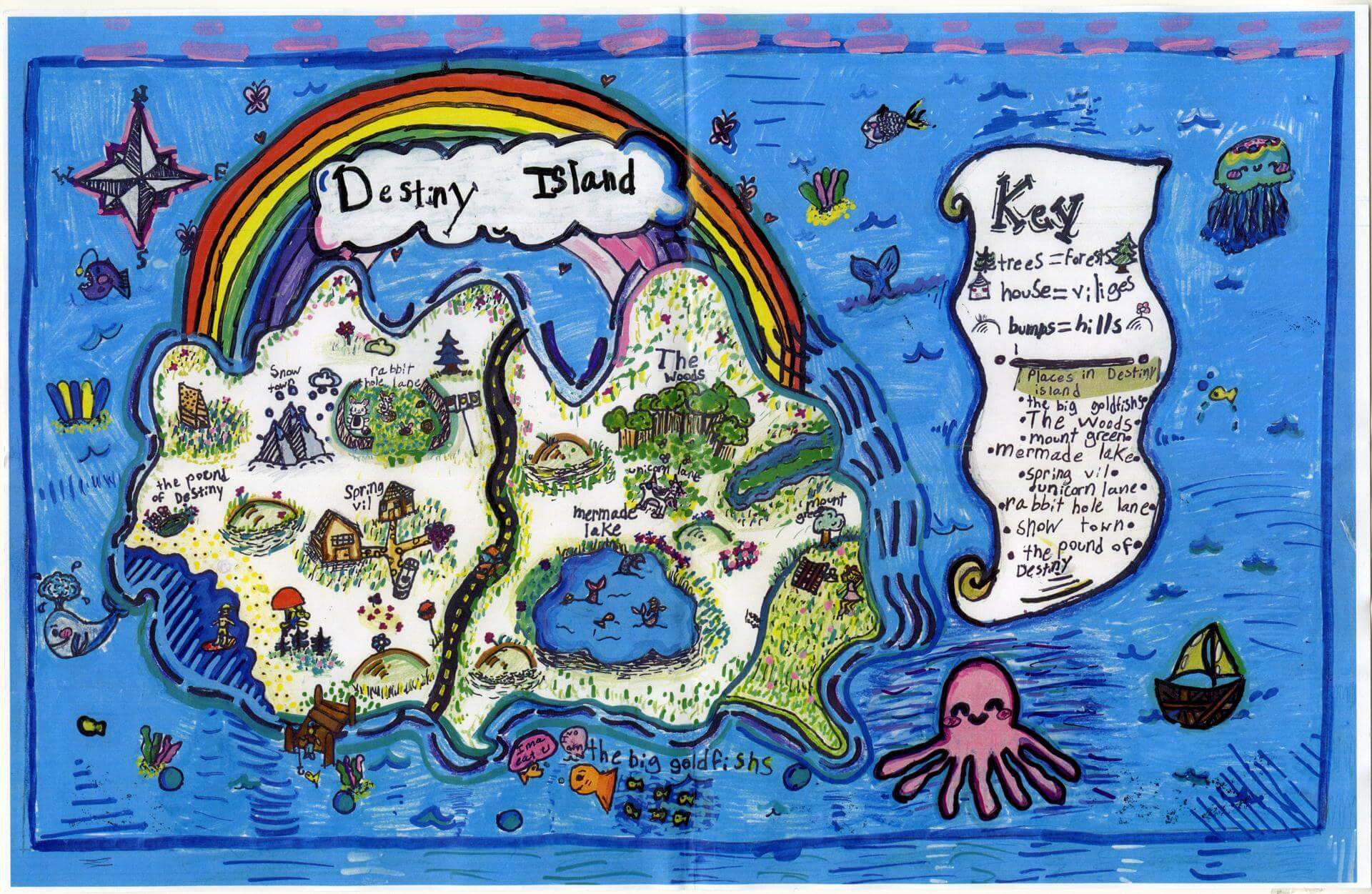
Jana A. of Gorham
Great Falls Elementary – 4th Grade.
See larger at https://oshermaps.org/wp-content/uploads/2025/05/25.219.jpg
Kulin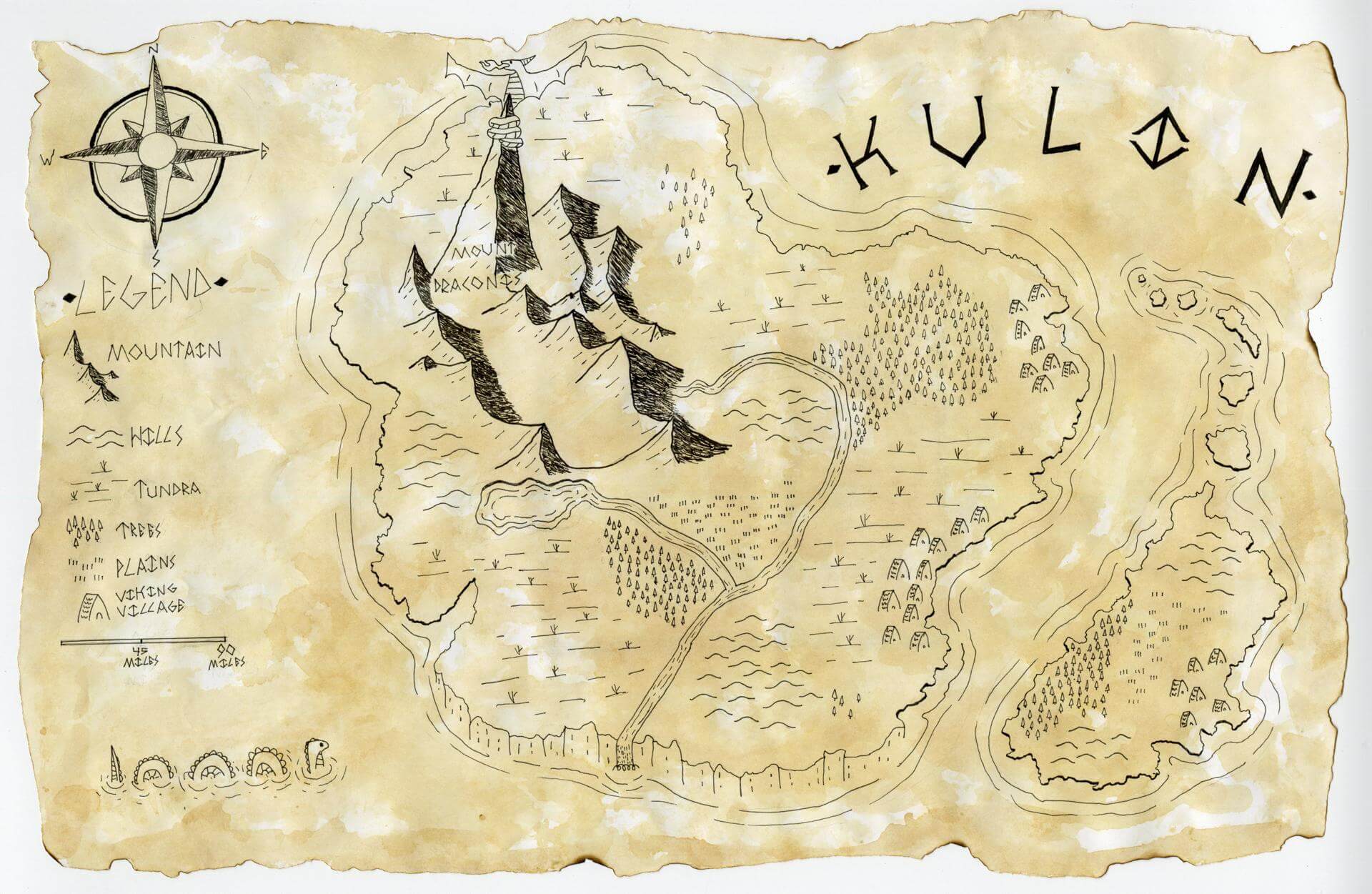
Jaxson F. of W. Gardiner
Homeschool – 5th Grade.
See larger at https://oshermaps.org/wp-content/uploads/2025/05/25.221.jpg
Jayce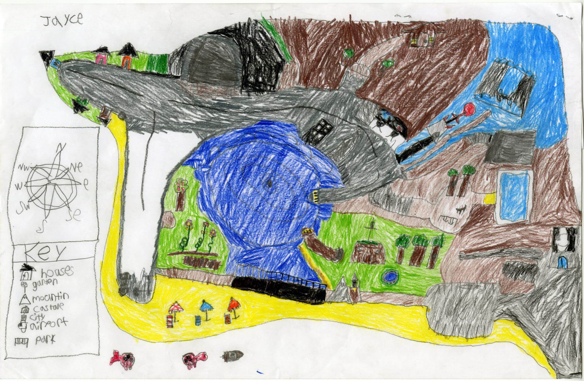
Jayce W. of Princeton
Indian Township – 5th Grade.
See larger at https://oshermaps.org/wp-content/uploads/2025/05/25.227.jpg
Mermaid Island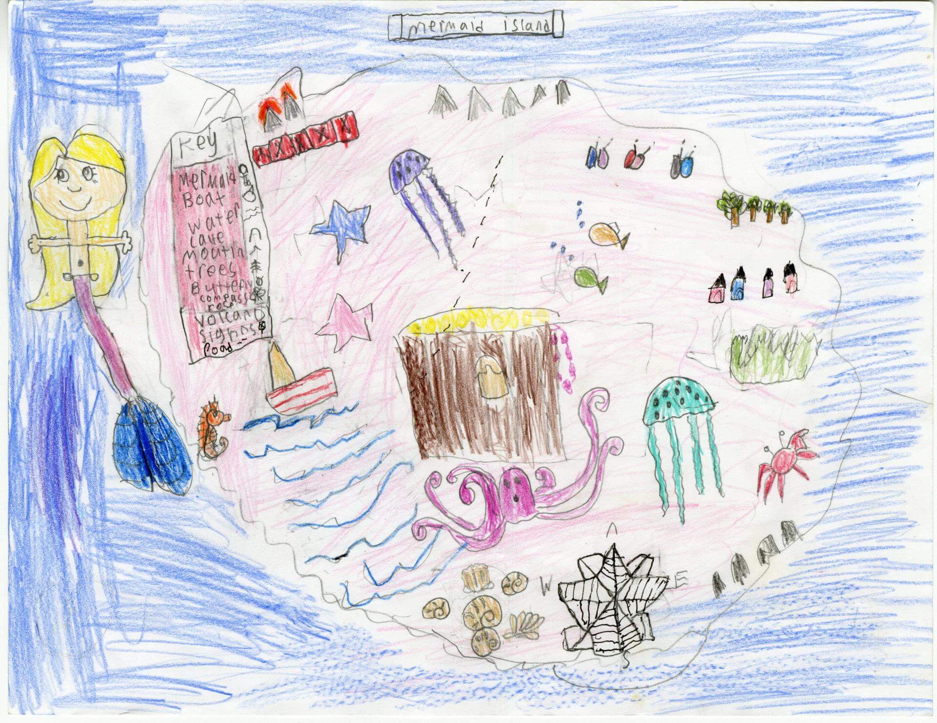
Jayda J. of Old Town
Old Town Elementary School – 4th Grade.
See larger at https://oshermaps.org/wp-content/uploads/2025/05/25.205.jpg
Sealand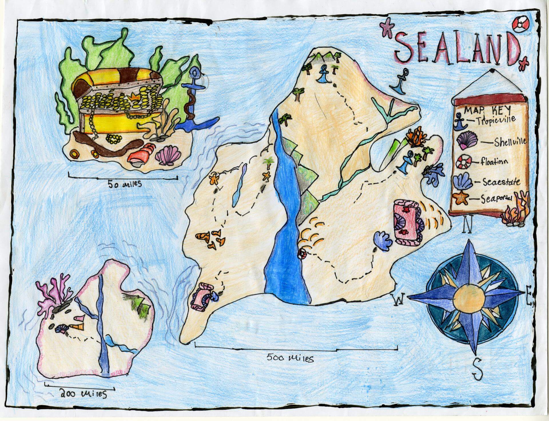
Jenny S. of Brunswick
Brunswick Jr. High – 6th Grade.
See larger at https://oshermaps.org/wp-content/uploads/2025/05/25.140.jpg
Merci and Ronaldo and Neyman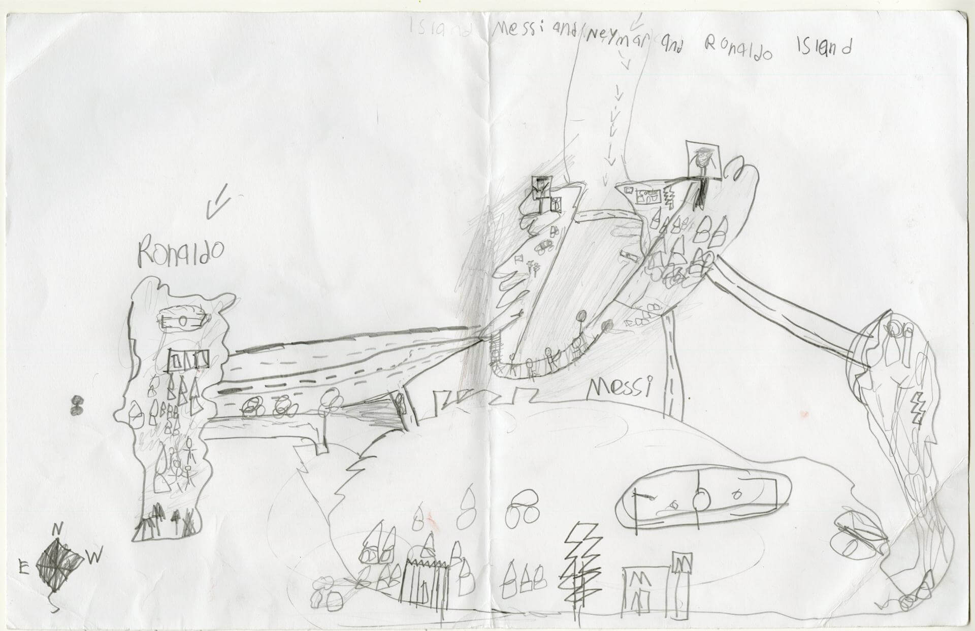
Jesus E. of Gorham
Narragansett Elementary – 4th Grade.
See larger at https://oshermaps.org/wp-content/uploads/2025/05/25.034.jpg
Moon City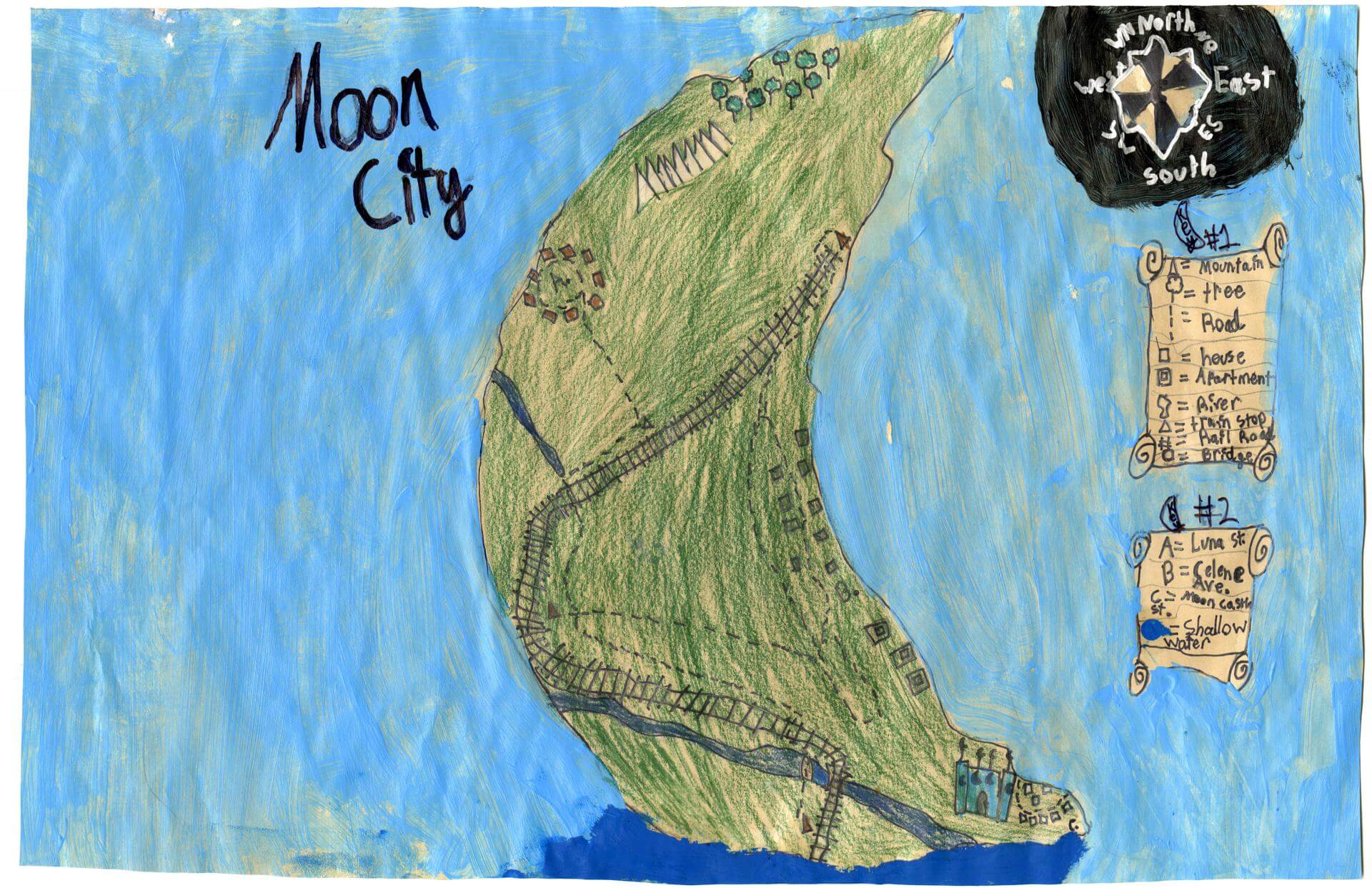
Jillian S. of Gorham
Narragansett Elementary – 4th Grade.
See larger at https://oshermaps.org/wp-content/uploads/2025/05/25.038.jpg
Agriculture Island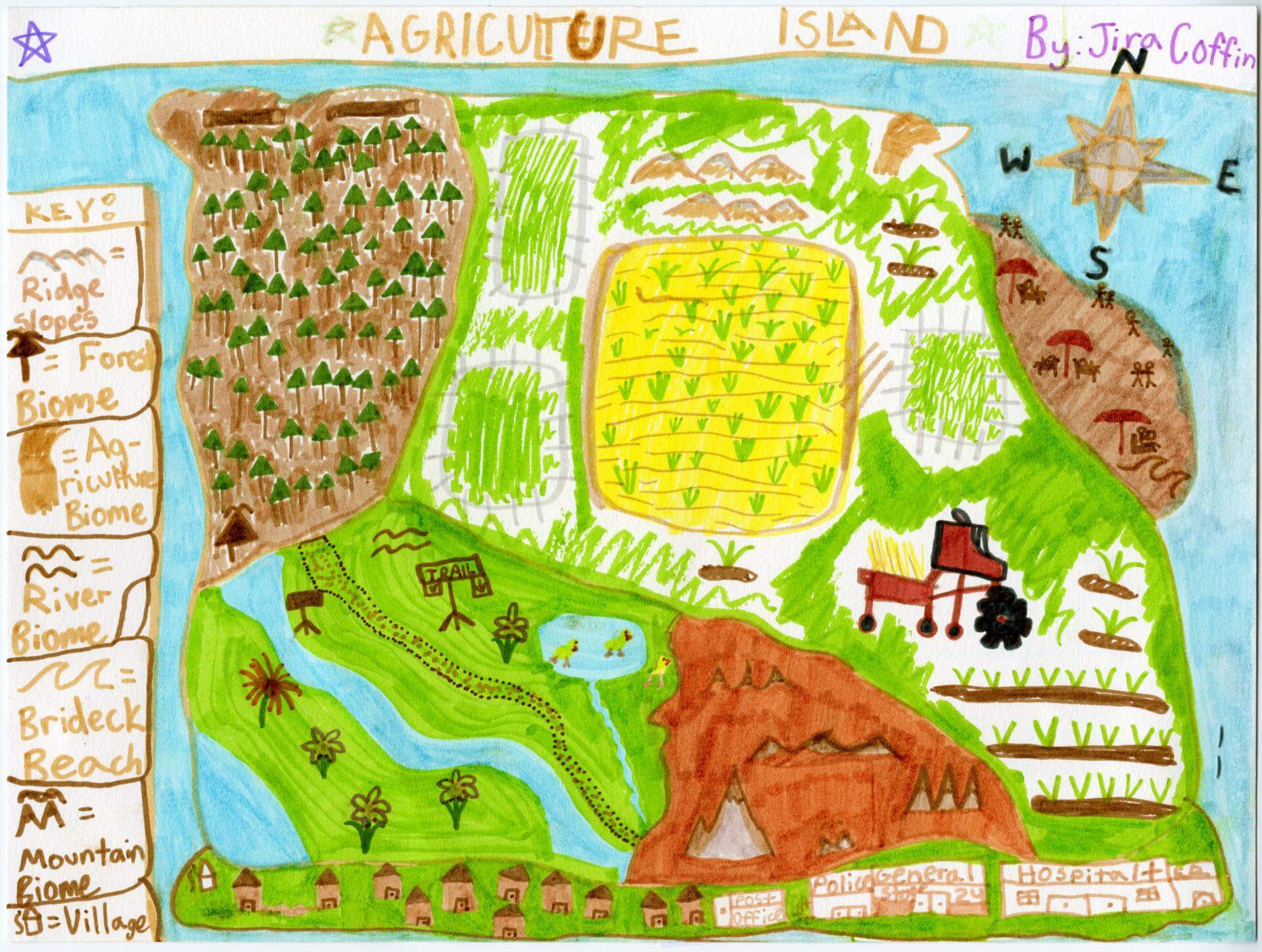
Jira C. of Brunswick
Harriet Beecher Stowe Elem – 5th Grade.
See larger at https://oshermaps.org/wp-content/uploads/2025/05/25.006.jpg
Critter Island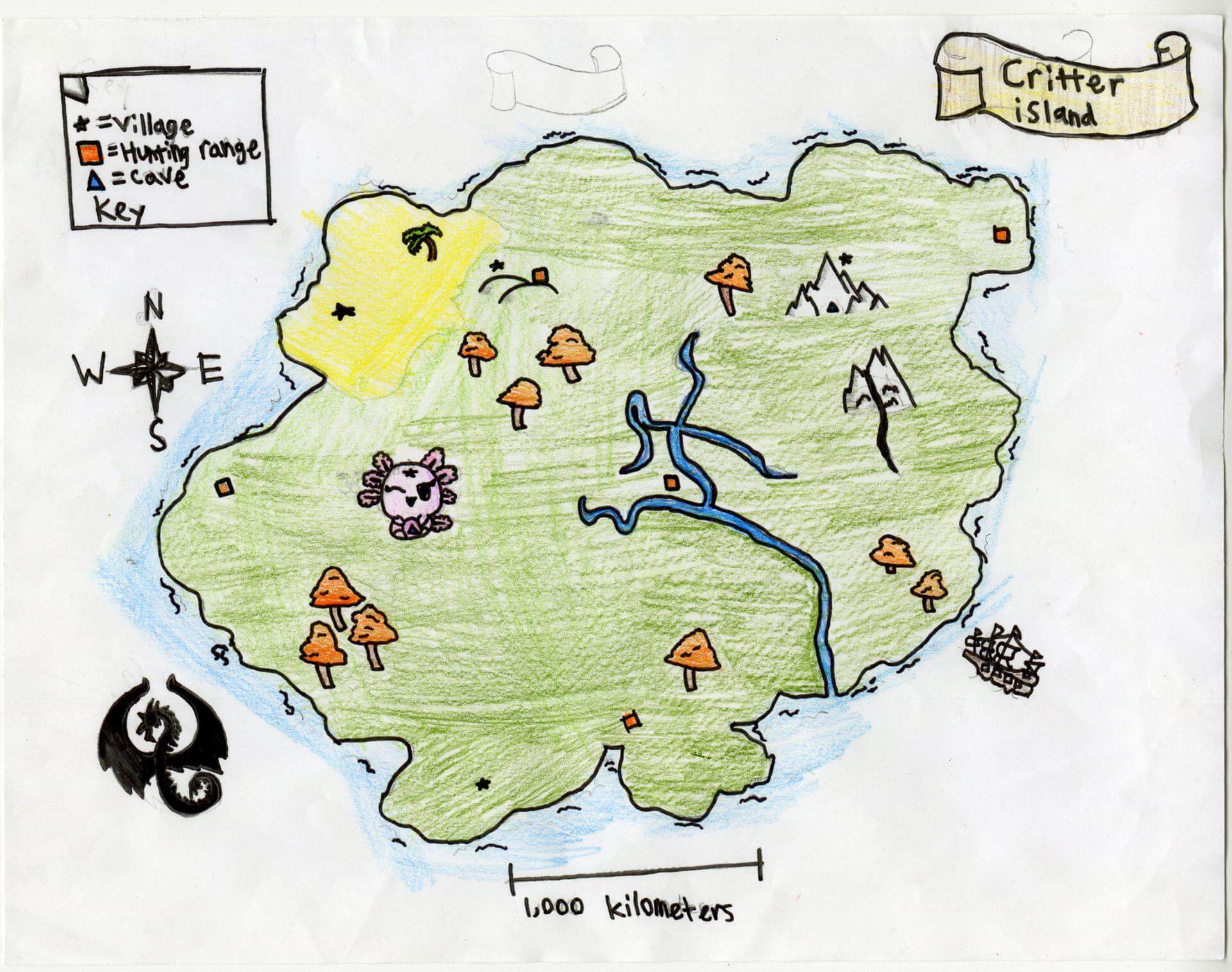
Jocelyn K. of Brunswick
Brunswick Jr. High – 6th Grade.
See larger at https://oshermaps.org/wp-content/uploads/2025/05/25.084.jpg
Italia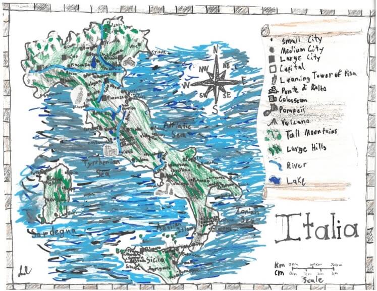
Joe C. of York
York Middle School – 6th Grade.
See larger at https://oshermaps.org/wp-content/uploads/2025/05/25.279.jpg
The Three Brothers Island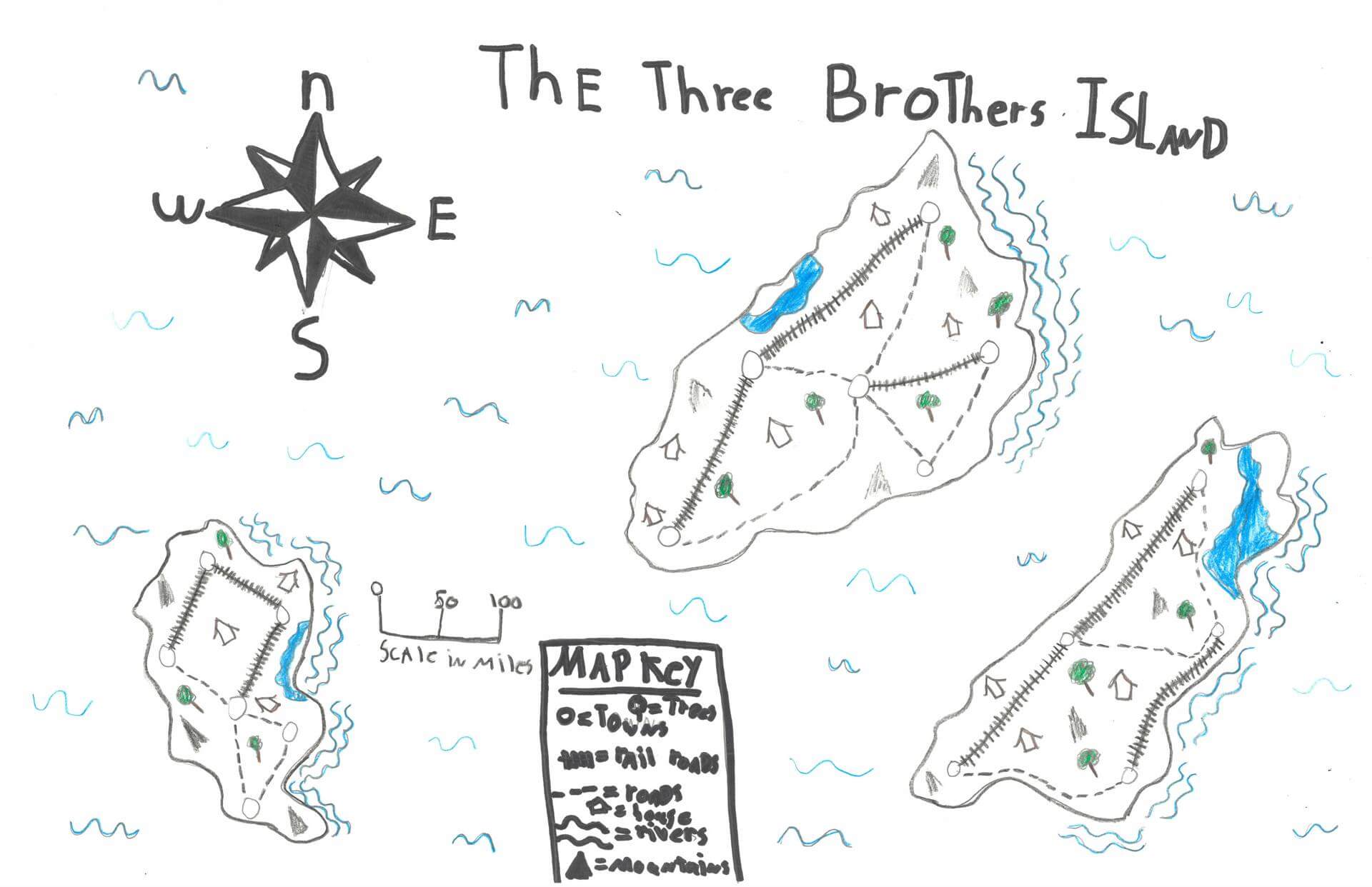
Joey O. of Bremen
Great Salt Bay School – 5th Grade.
See larger at https://oshermaps.org/wp-content/uploads/2025/05/25.236.jpg
The Osher Islands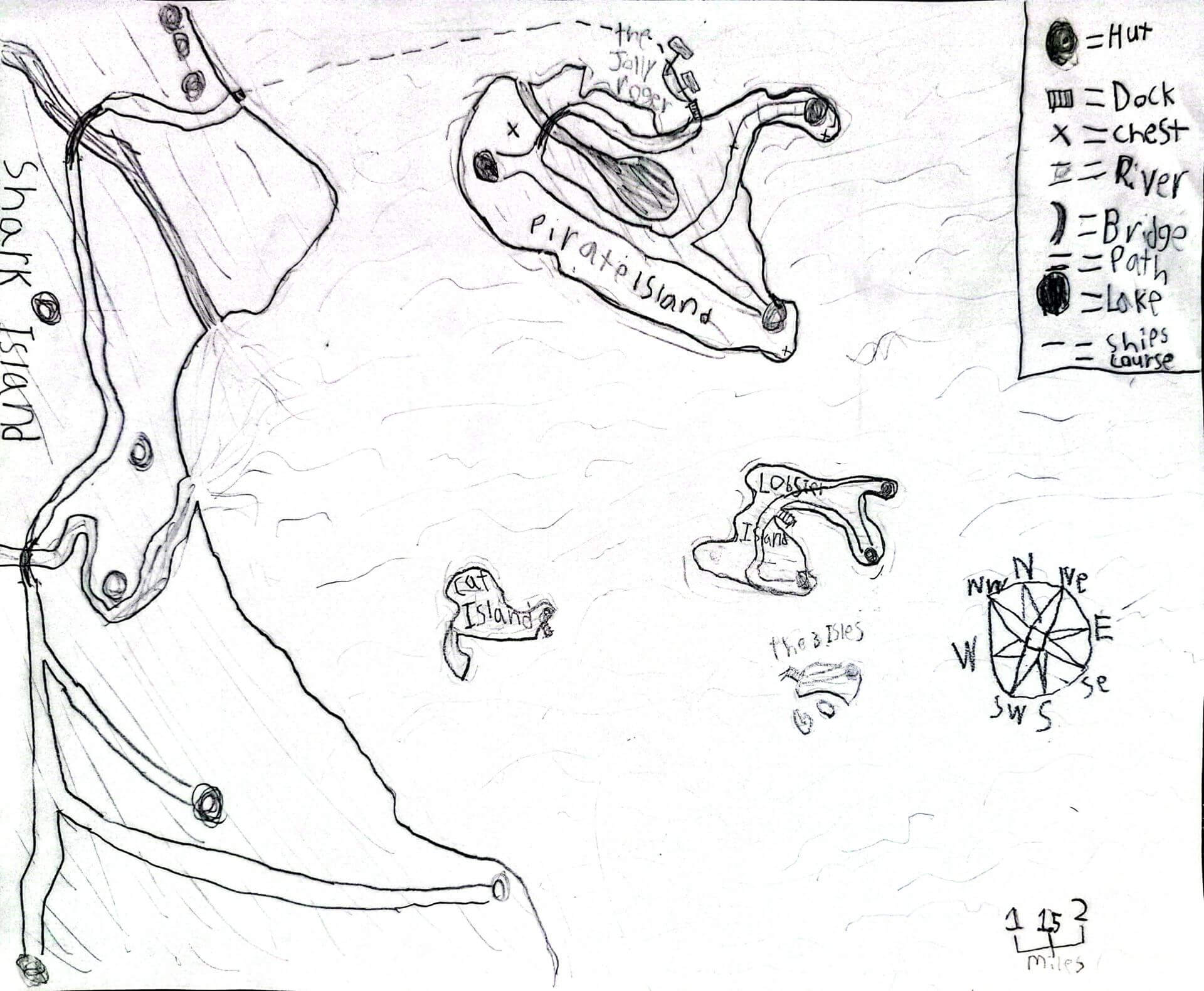
John M. of Searsmont
Homeschool – 5th Grade.
See larger at https://oshermaps.org/wp-content/uploads/2025/05/25.318.jpg
Eras Island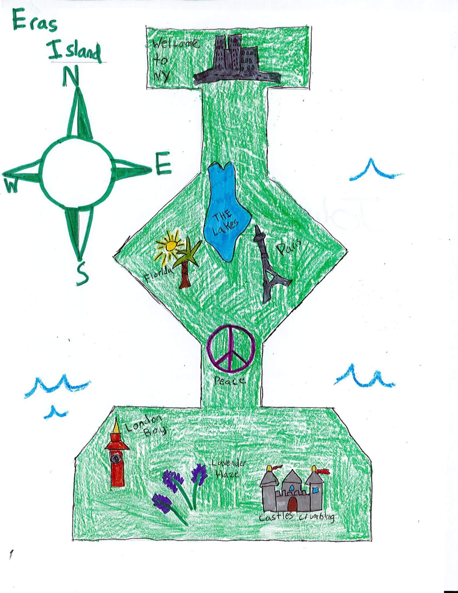
Jolie H. of South Berwick
Marshwood Great Works School – 4th Grade.
See larger at https://oshermaps.org/wp-content/uploads/2025/05/25.346.jpg
Map of One Piece World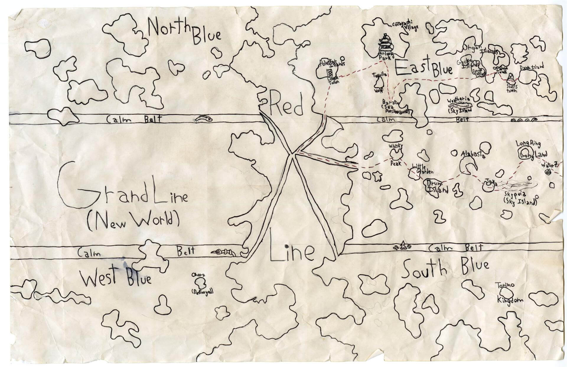
Julian Z. of Yarmouth
Yarmouth Elementary – 5th Grade.
See larger at https://oshermaps.org/wp-content/uploads/2025/05/25.048.jpg
Isle of Elements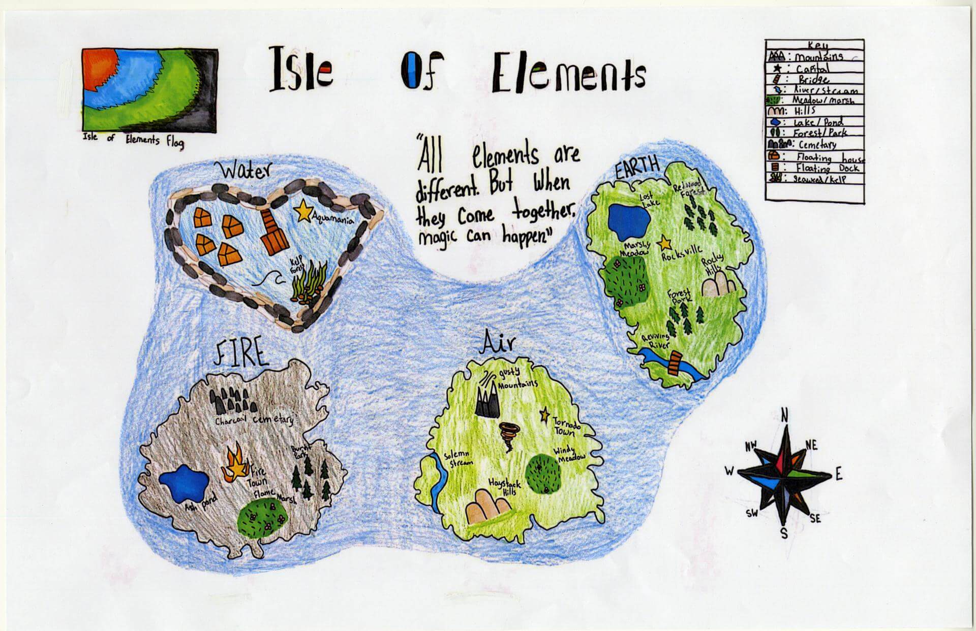
June L. of Yarmouth
Yarmouth Elementary – 5th Grade.
See larger at https://oshermaps.org/wp-content/uploads/2025/05/25.059.jpg
Cup of Cake Island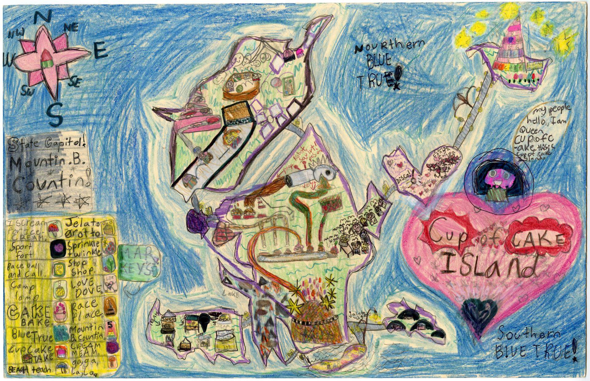
Juniper B. of Brunswick
Harriet Beecher Stowe Elem – 4th Grade.
See larger at https://oshermaps.org/wp-content/uploads/2025/05/25.008.jpg
Dino Nugget Island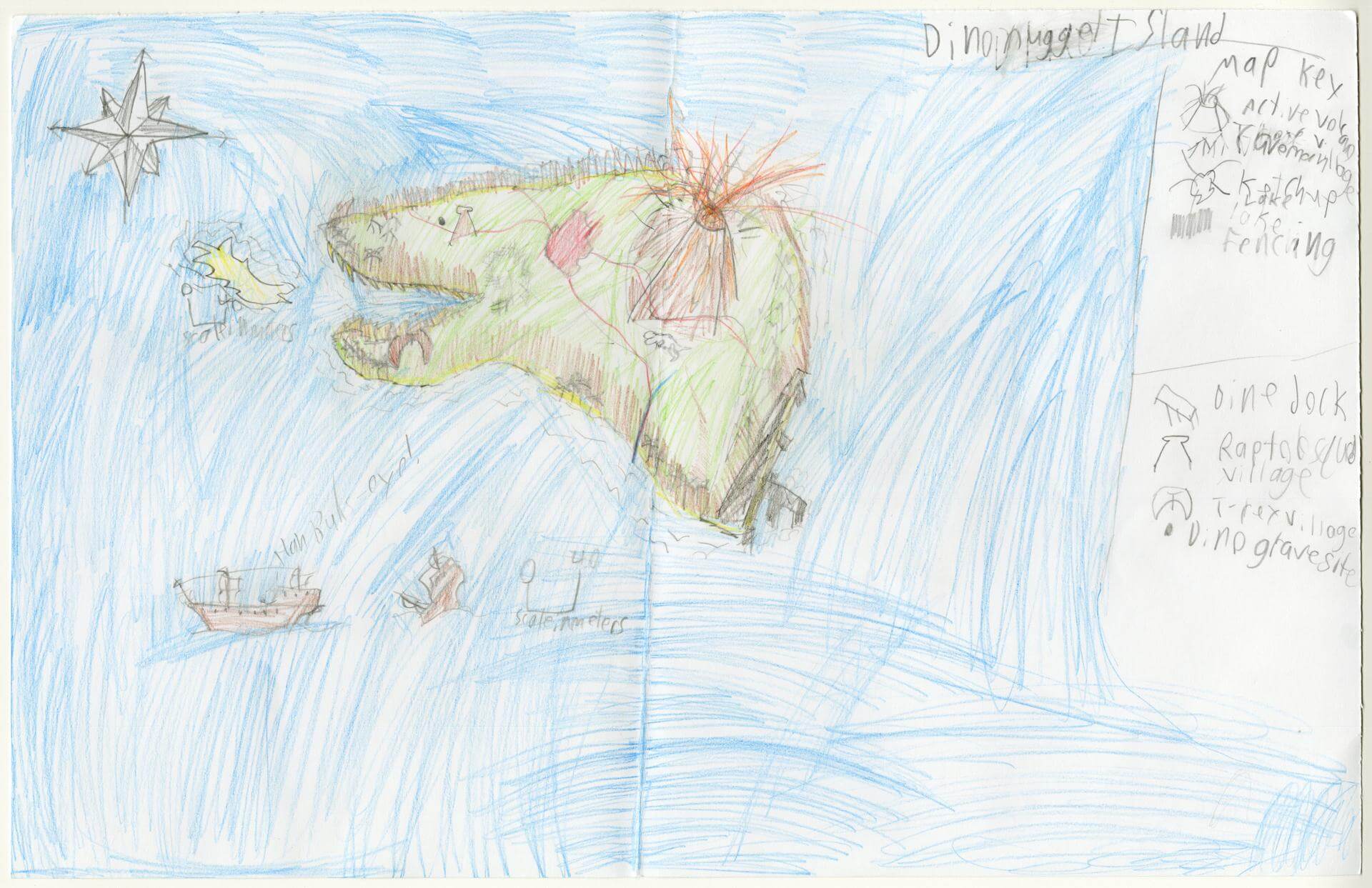
Kaden B. of Gorham
Narragansett Elementary – 4th Grade.
See larger at https://oshermaps.org/wp-content/uploads/2025/05/25.042.jpg
Seasons Island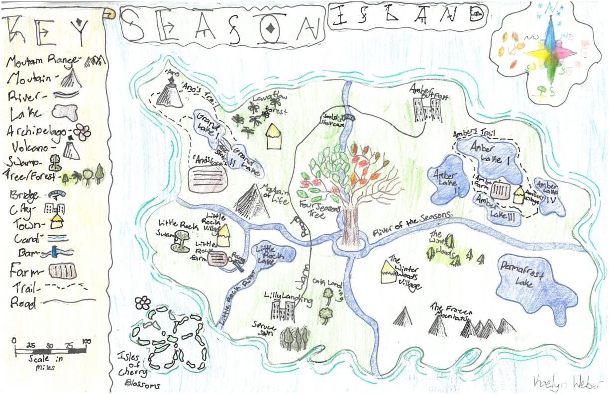
Kaelyn W. of York
York Middle School – 6th Grade.
See larger at https://oshermaps.org/wp-content/uploads/2025/05/25.262.jpg
Hand Island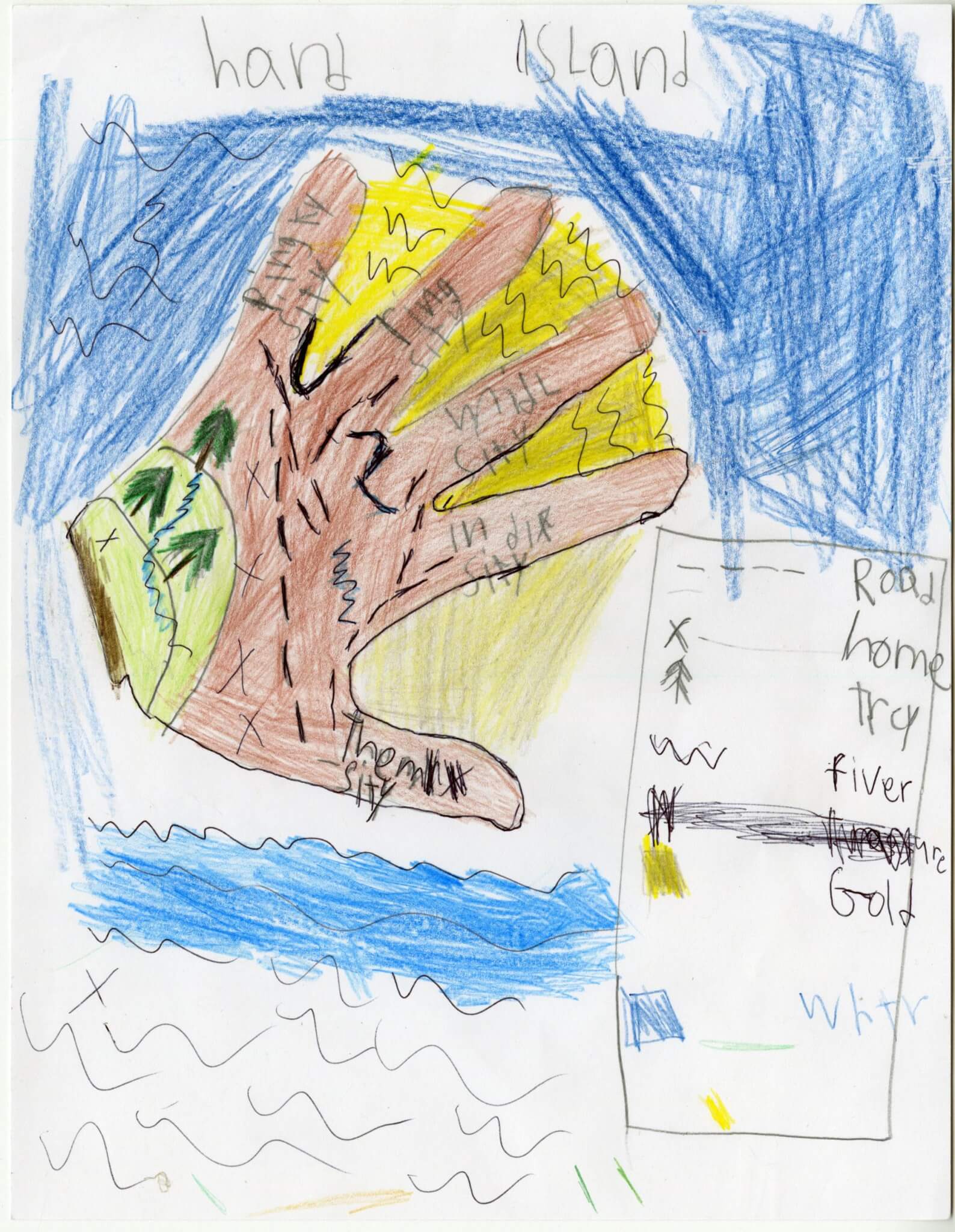
Kai G. of Gorham
Narragansett Elementary – 4th Grade.
See larger at https://oshermaps.org/wp-content/uploads/2025/05/25.120.jpg
Disaster Island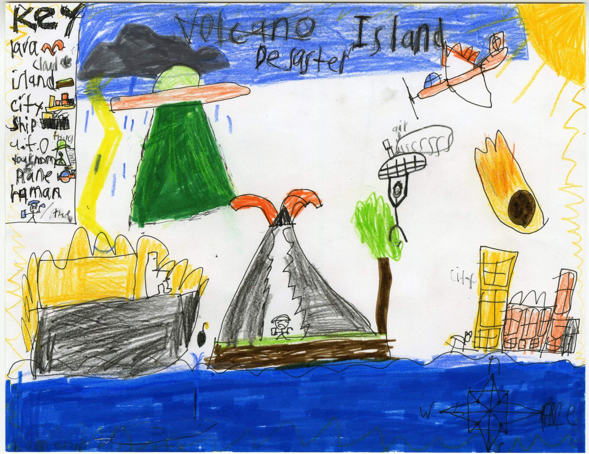
Kameron O. of Old Town
Old Town Elementary School – 4th Grade.
See larger at https://oshermaps.org/wp-content/uploads/2025/05/25.209.jpg
Map of Portugal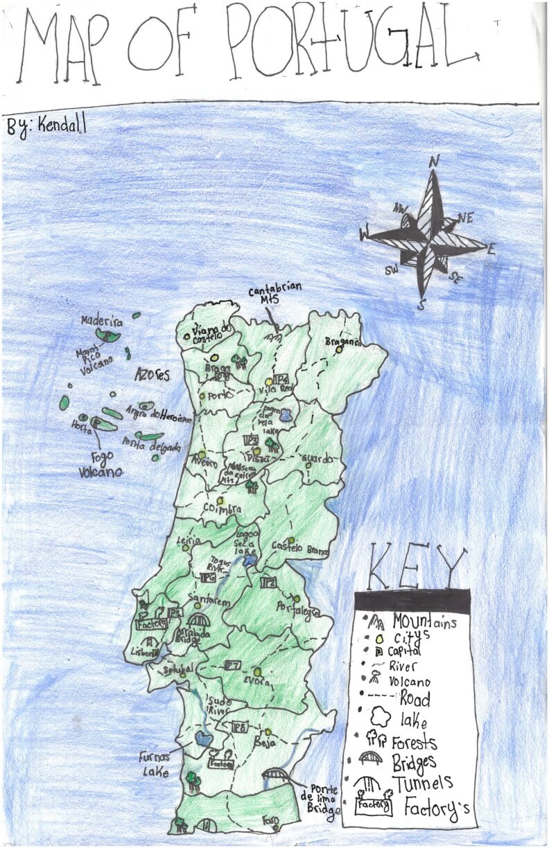
Kendall S. of York
York Middle School – 6th Grade.
See larger at https://oshermaps.org/wp-content/uploads/2025/05/25.272.jpg
The Underland Chronicles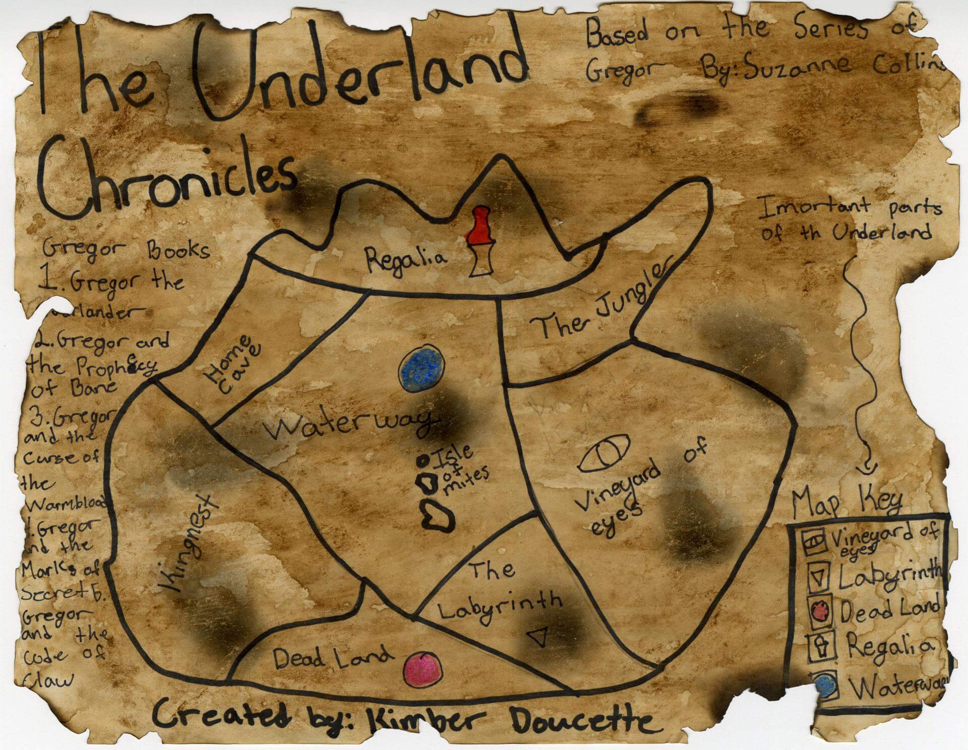
Kimber D. of Eliot
Great Works Elementary – 4th Grade.
See larger at https://oshermaps.org/wp-content/uploads/2025/05/25.212.jpg
Anchor Harbor Islands of Lebclona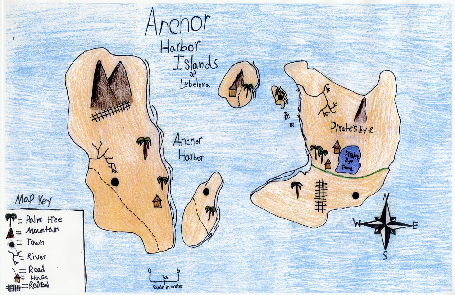
Kinsley A. of South Berwick
Marshwood Great Works School – 4th Grade.
See larger at https://oshermaps.org/wp-content/uploads/2025/05/25.334.jpg
Capybara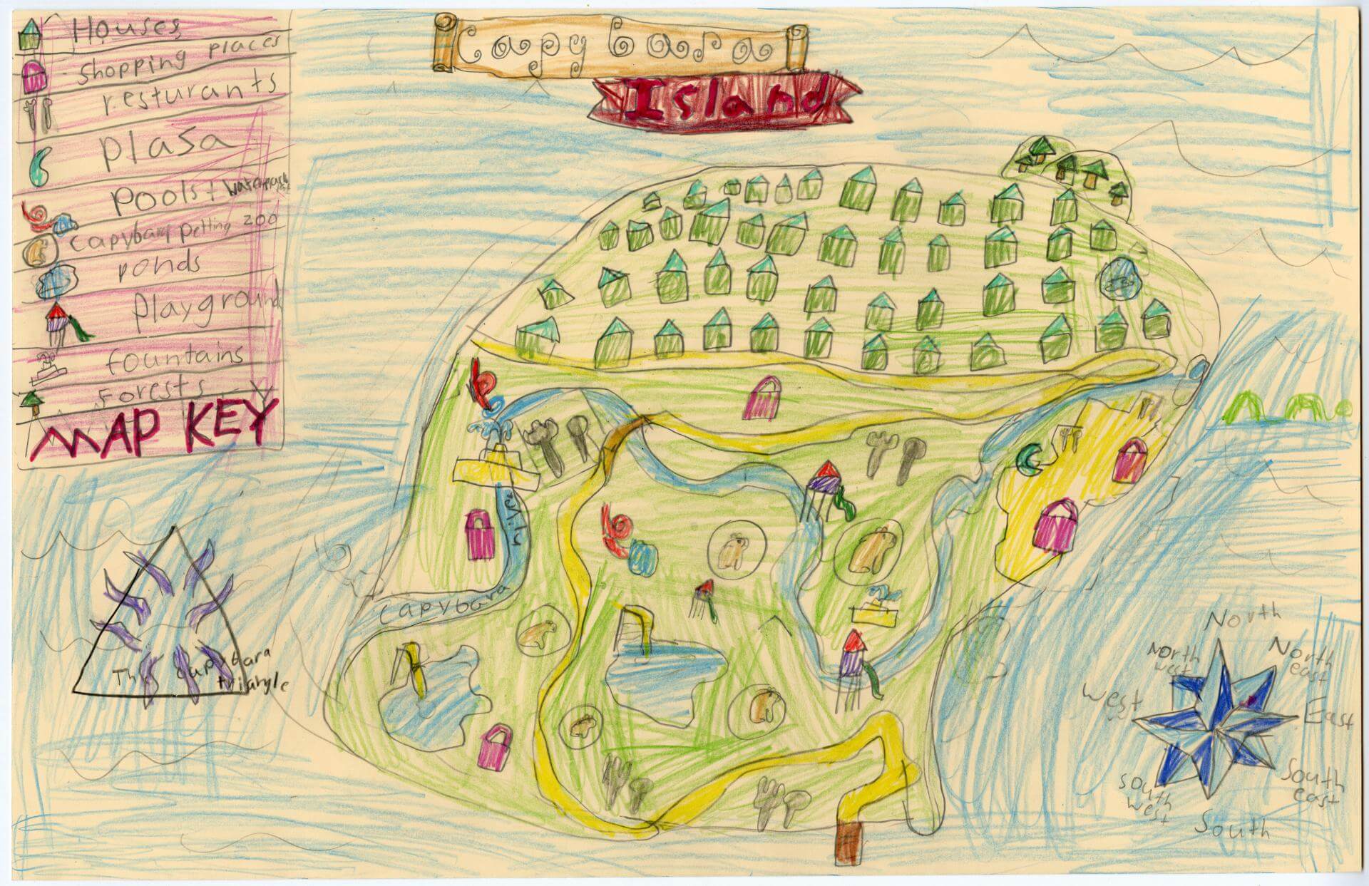
Kyla U. of Brunswick
Harriet Beecher Stowe Elem – 4th Grade.
See larger at https://oshermaps.org/wp-content/uploads/2025/05/25.020.jpg
Fablewood Isle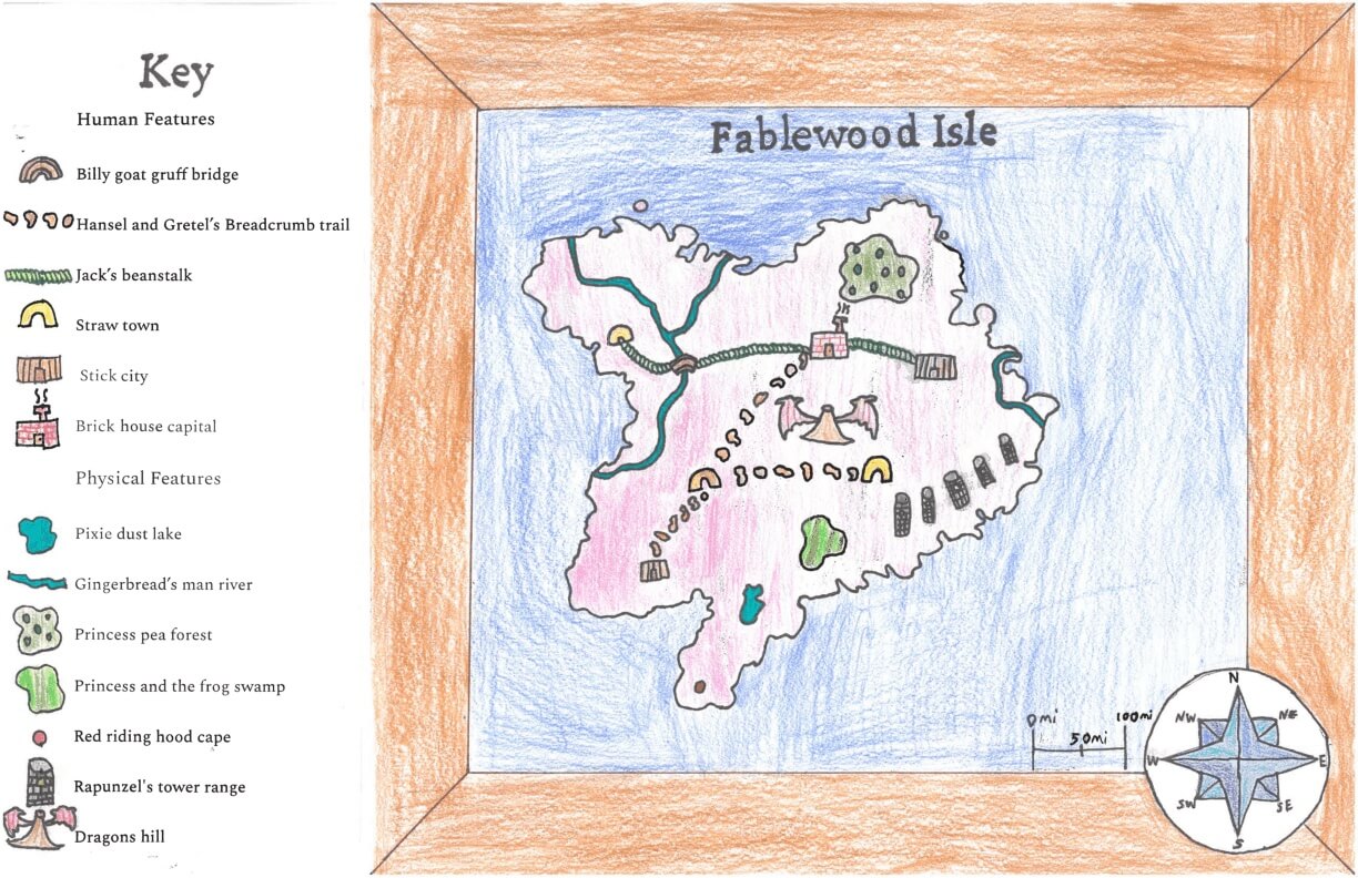
Lachlan D. of York
York Middle School – 6th Grade.
See larger at https://oshermaps.org/wp-content/uploads/2025/05/25.280.jpg
The Better Island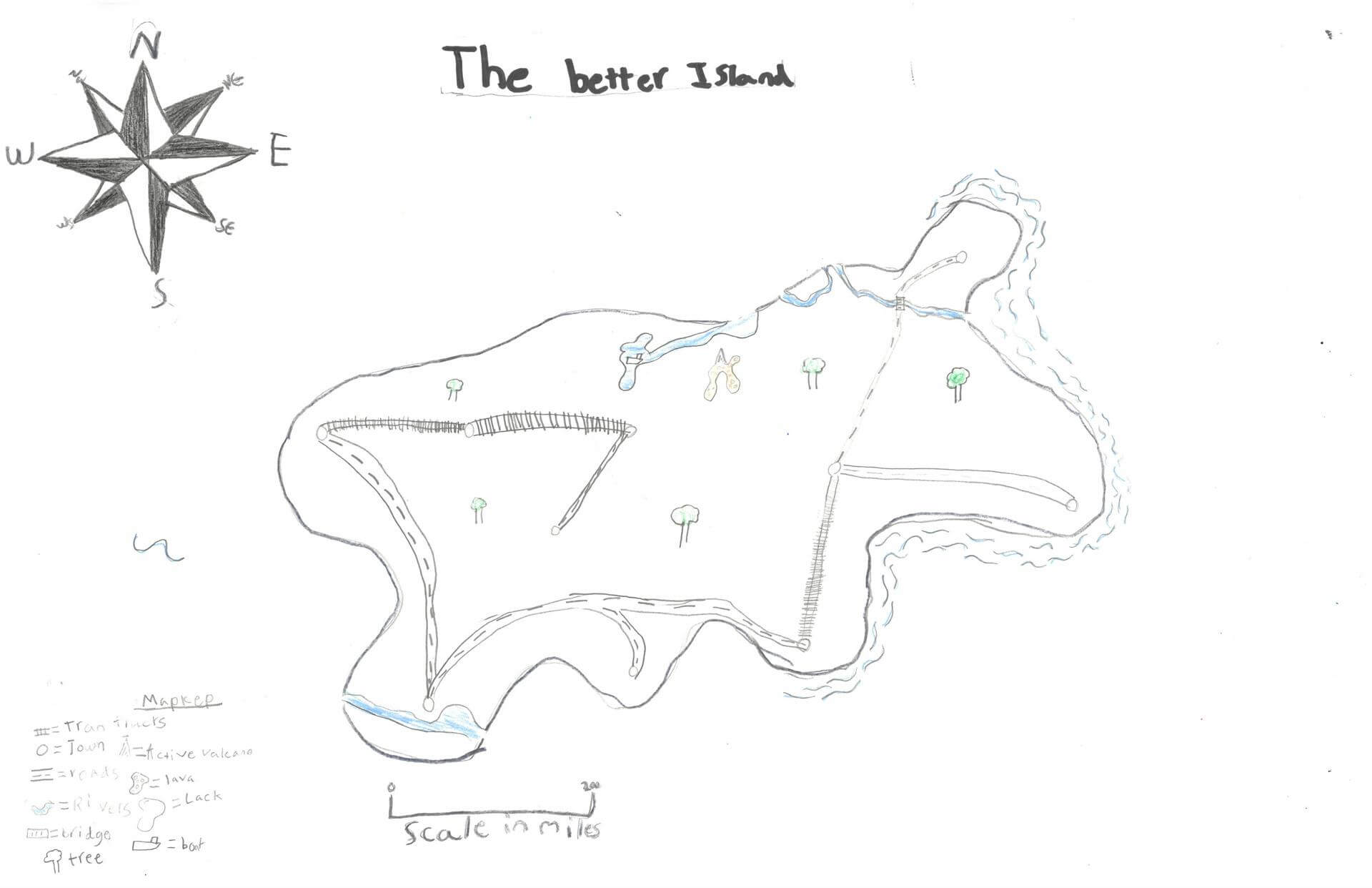
Lauren M. of Bremen
Great Salt Bay School – 5th Grade.
See larger at https://oshermaps.org/wp-content/uploads/2025/05/25.235.jpg
Baby Link Island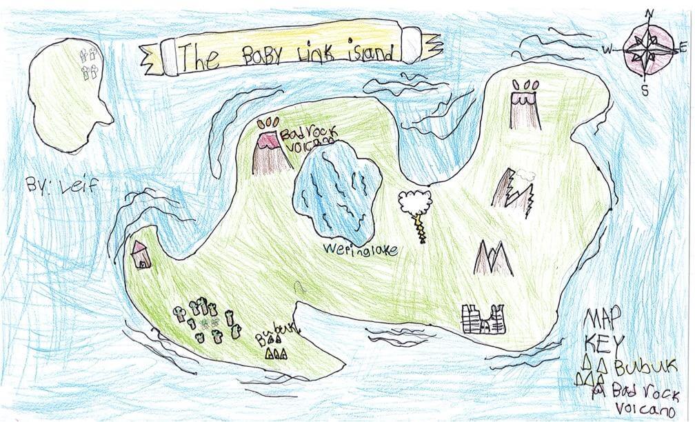
Leif H. of South Berwick
Marshwood Great Works School – 4th Grade.
See larger at https://oshermaps.org/wp-content/uploads/2025/05/25.245.jpg
LGBTQ Island
Levon G. of Bruswick
Harriet Beecher Stowe Elementary School – 5th Grade.
See larger at https://oshermaps.org/wp-content/uploads/2025/05/25.243.jpg
Hornhead Island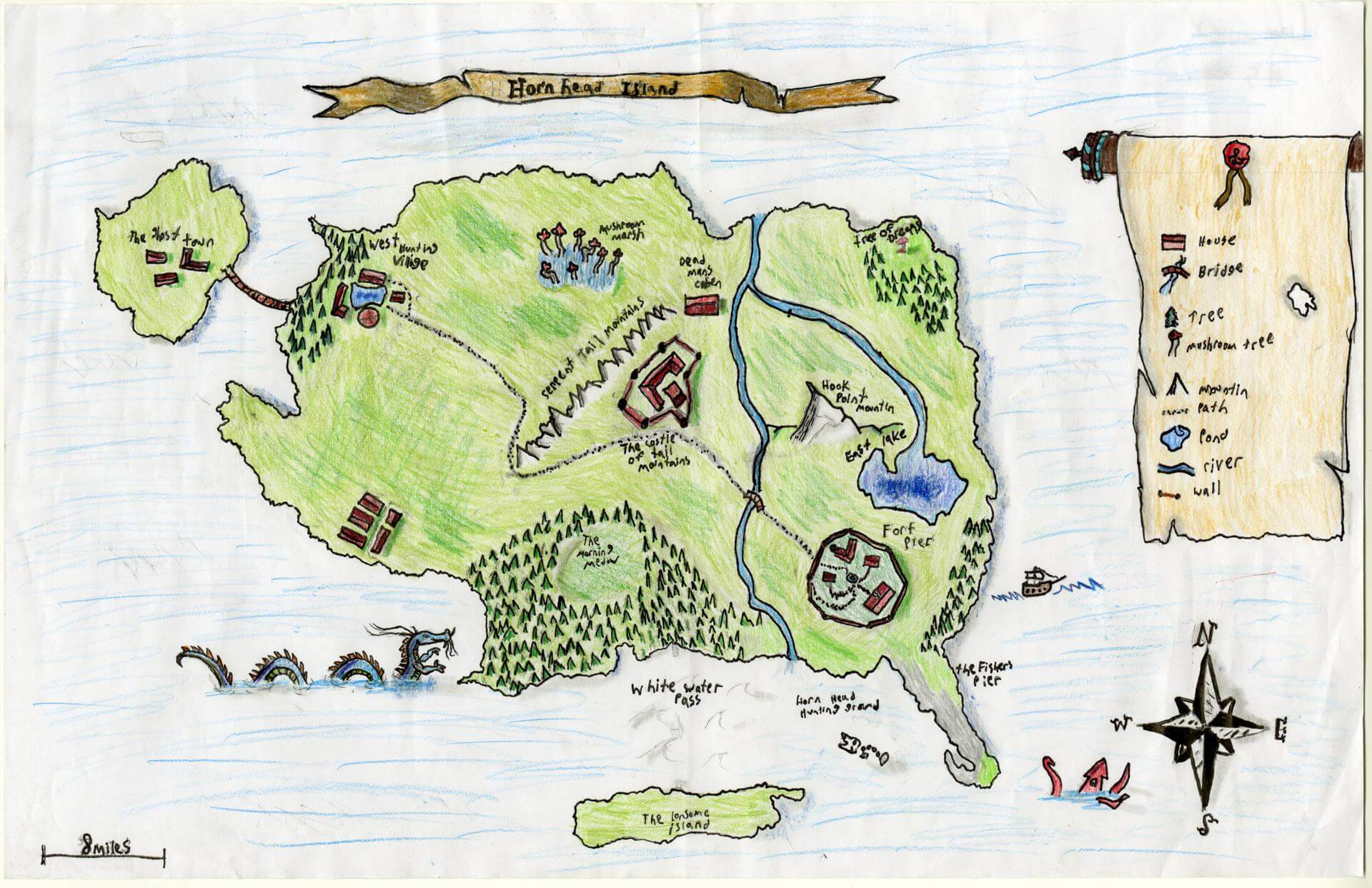
Liam D. of Brunswick
Brunswick Jr. High – 6th Grade.
See larger at https://oshermaps.org/wp-content/uploads/2025/05/25.076.jpg
Rocky Island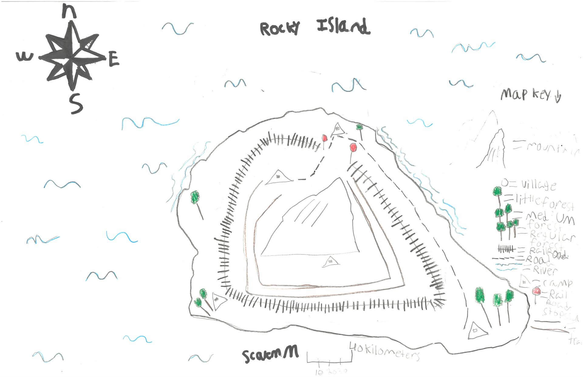
Liam G. of Damariscotta
Great Salt Bay School – 5th Grade.
See larger at https://oshermaps.org/wp-content/uploads/2025/05/25.303.jpg
Tag Roads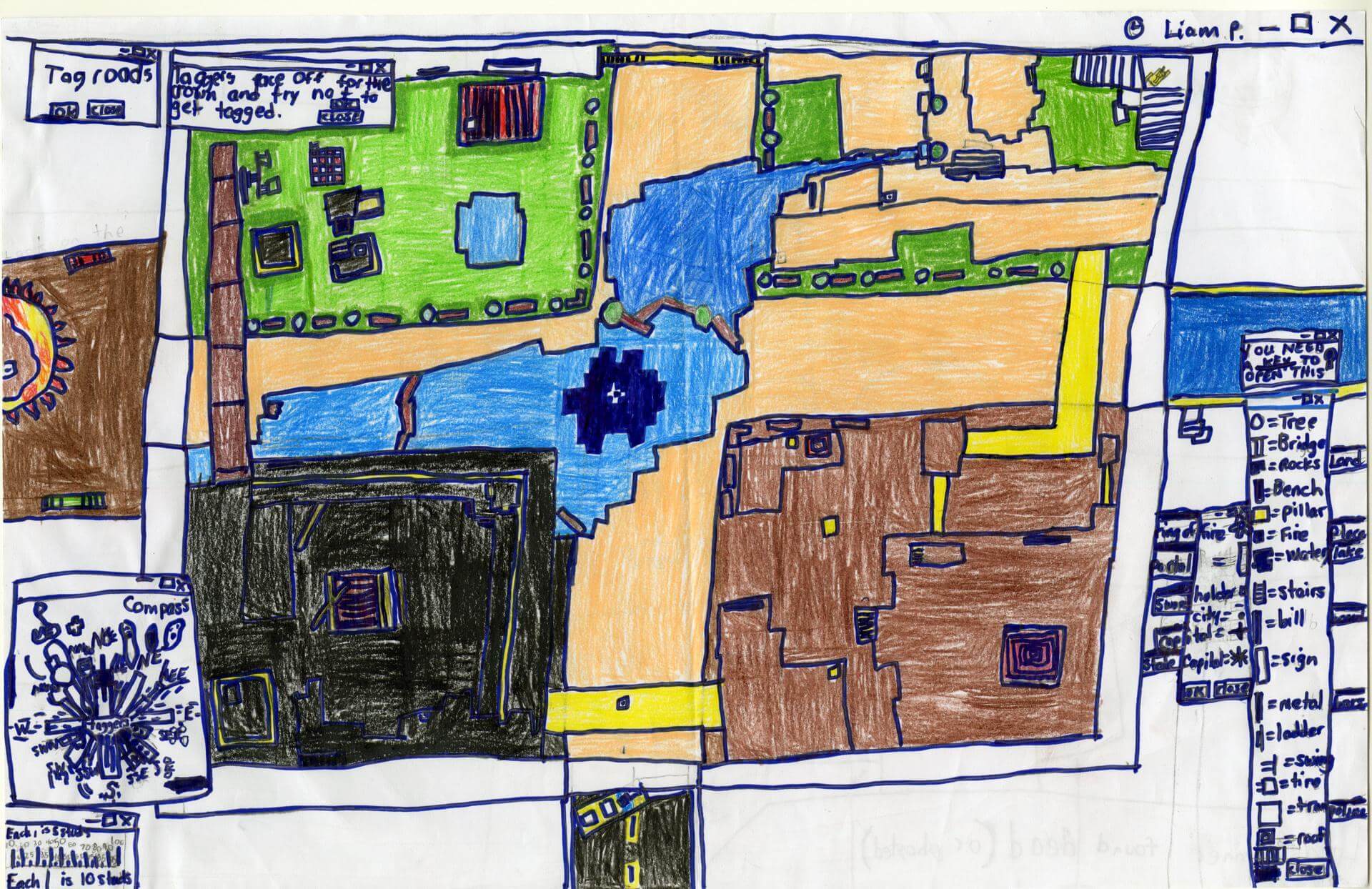
Liam P. of Brunswick
Brunswick Junior High – 6th Grade.
See larger at https://oshermaps.org/wp-content/uploads/2025/05/25.168.jpg
Puerto Rico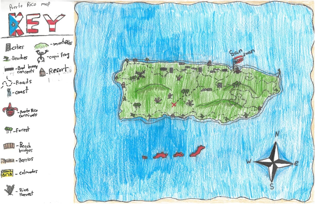
Liana L. of York
York Middle School – 6th Grade.
See larger at https://oshermaps.org/wp-content/uploads/2025/05/25.295.jpg
Map of My Mind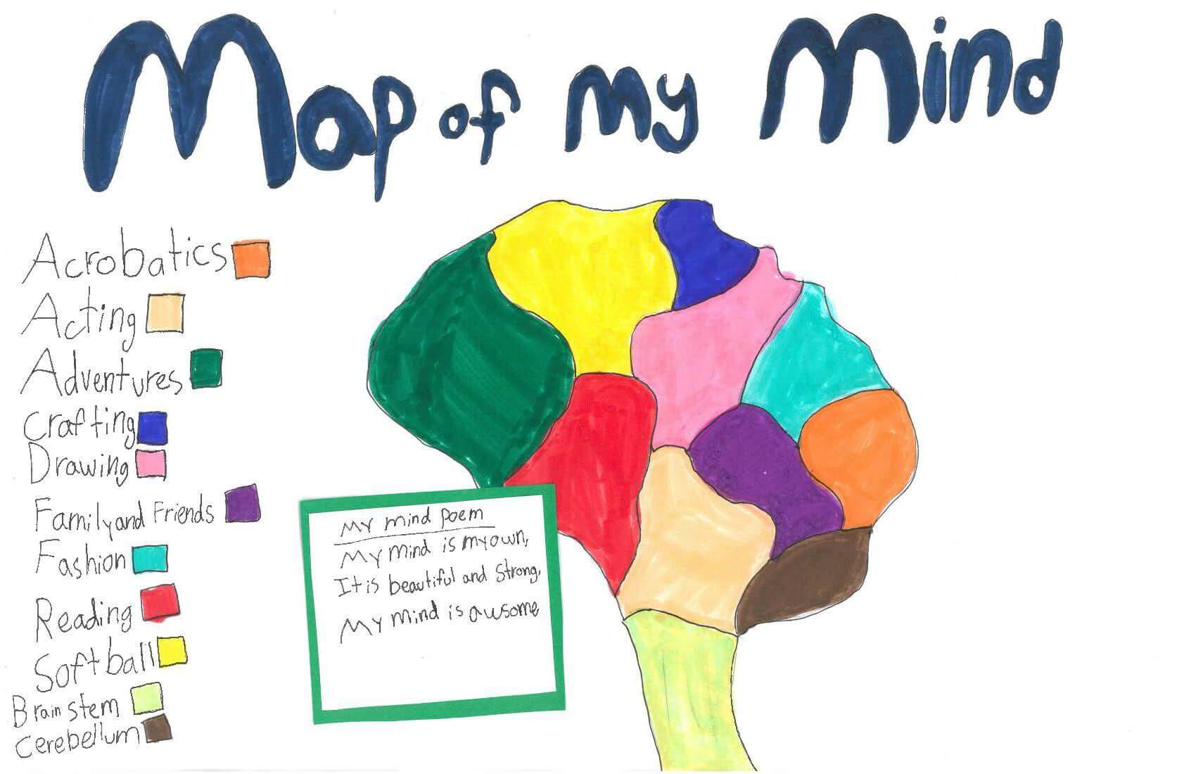
Linay E. of Gorham
Great Falls School – 4th Grade.
See larger at https://oshermaps.org/wp-content/uploads/2025/05/25.330.jpg
Happy Meal Island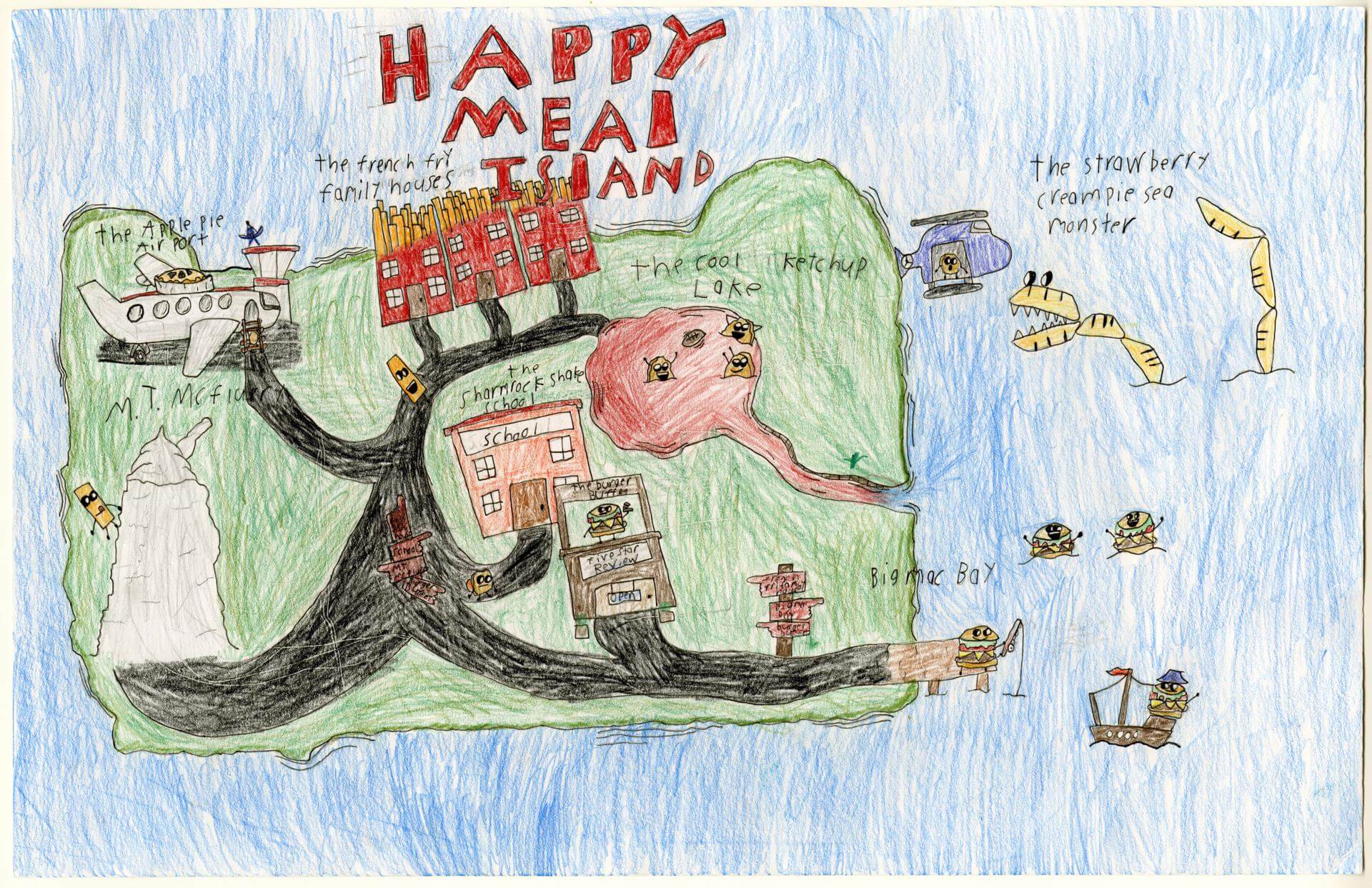
Lincoln C. of Gorham
Narragansett Elementary – 4th Grade.
See larger at https://oshermaps.org/wp-content/uploads/2025/05/25.040.jpg
Island of Nashaka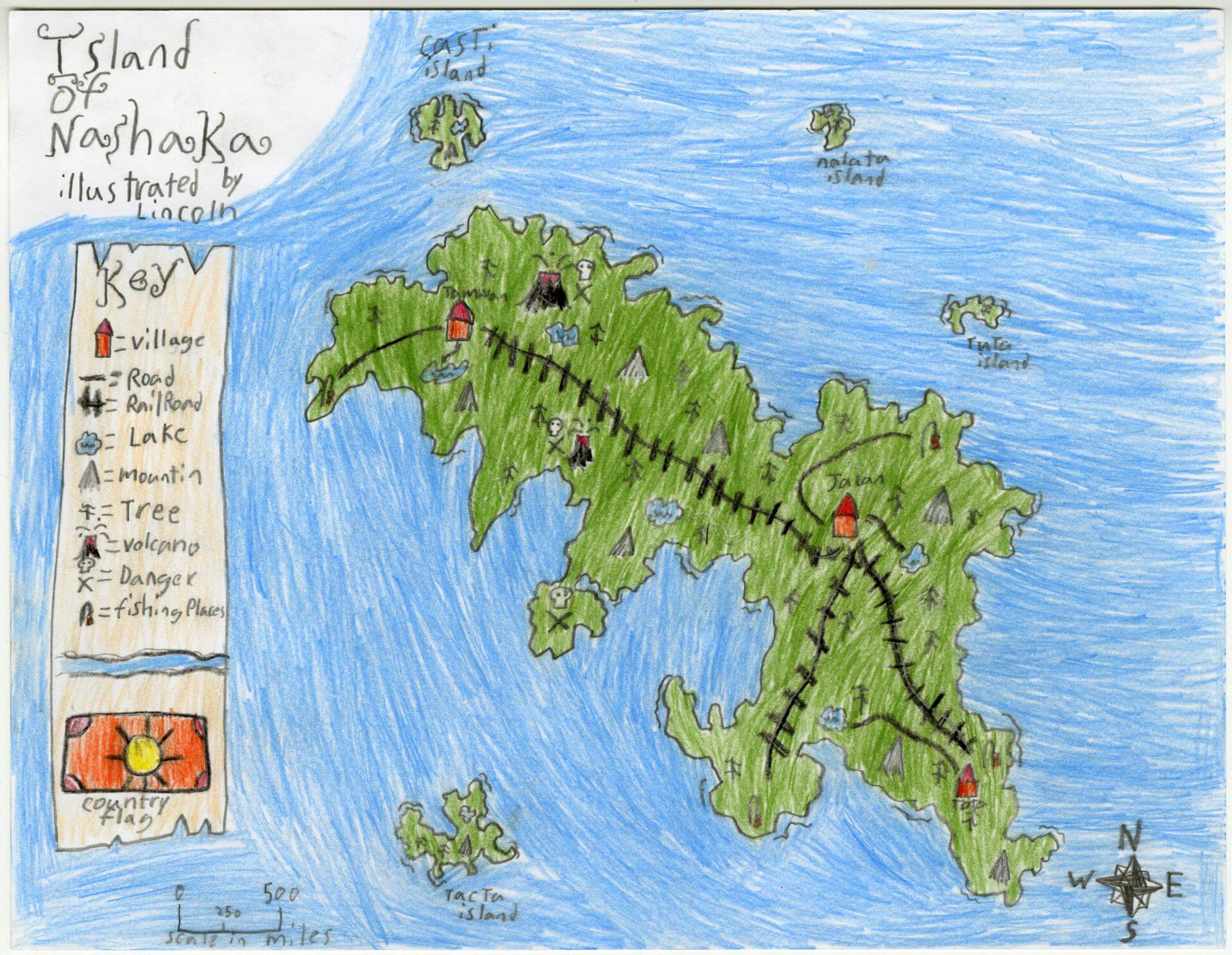
Lincoln C. of Gorham
Narragansett Elementary – 4th Grade.
See larger at https://oshermaps.org/wp-content/uploads/2025/05/25.128.jpg
Map Island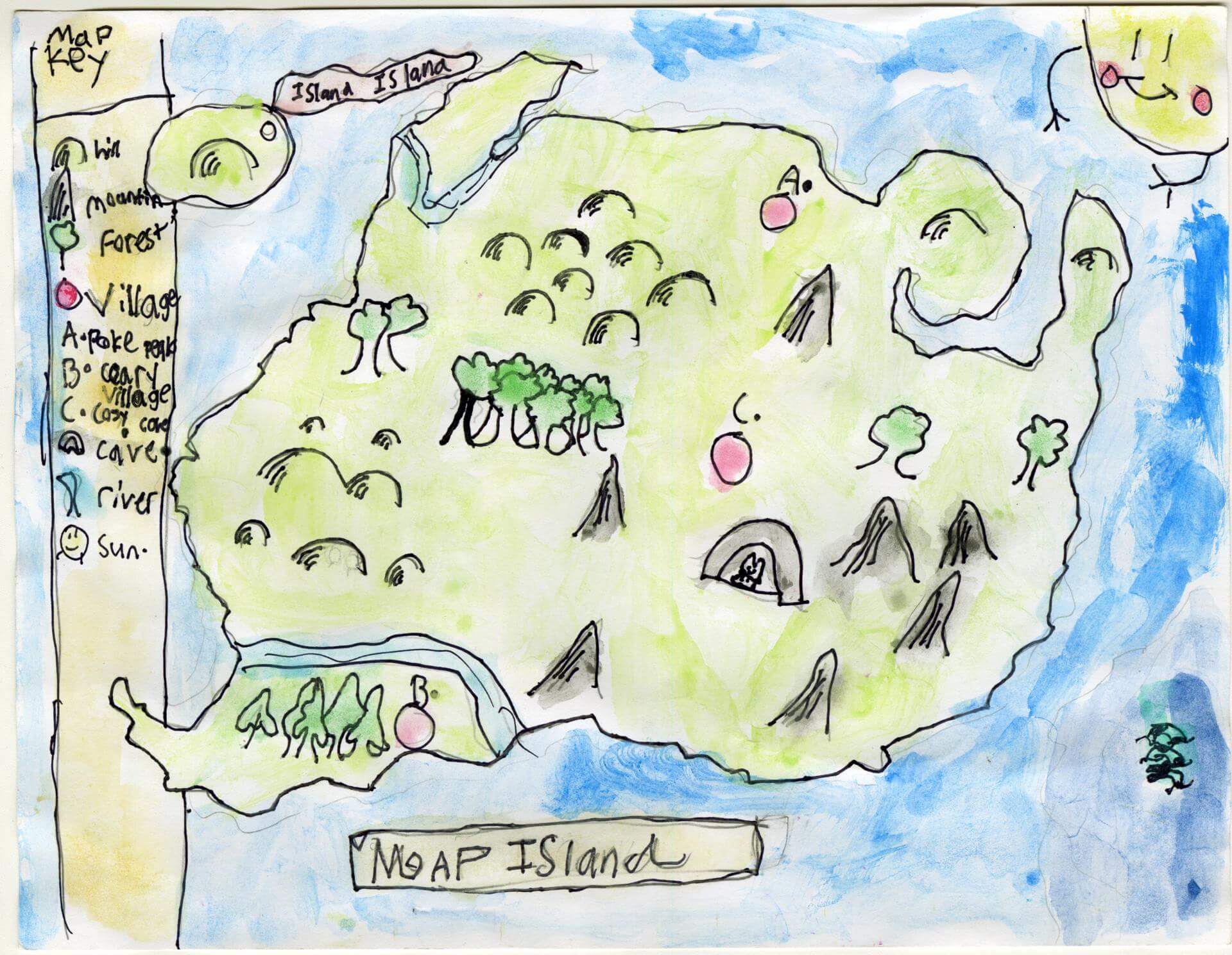
Lincoln L. of Gorham
Narragansett Elementary – 4th Grade.
See larger at https://oshermaps.org/wp-content/uploads/2025/05/25.114.jpg
Cat Paradise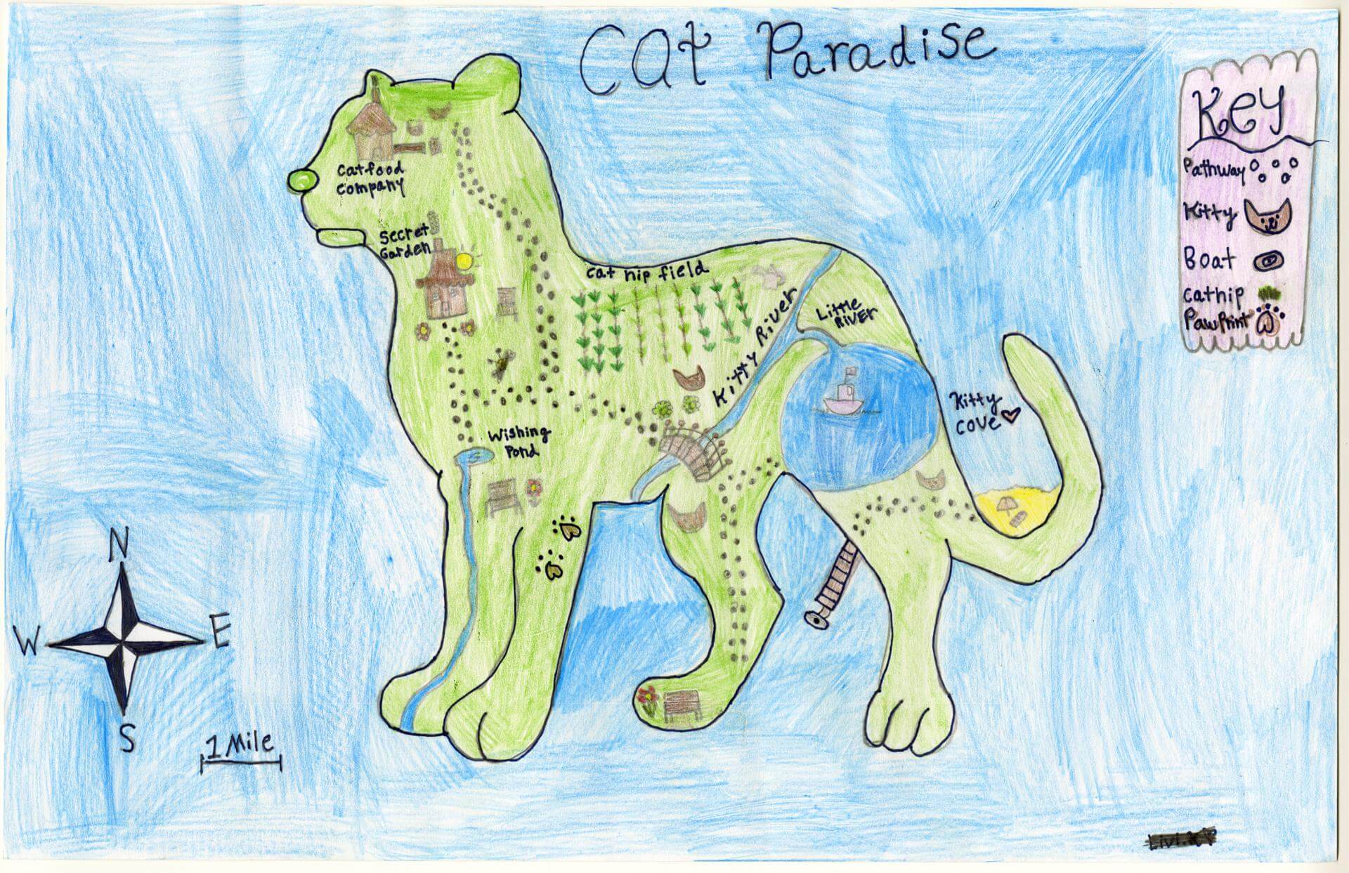
Livia K. of Gorham
Narragansett Elementary – 4th Grade.
See larger at https://oshermaps.org/wp-content/uploads/2025/05/25.039.jpg
Dragon Island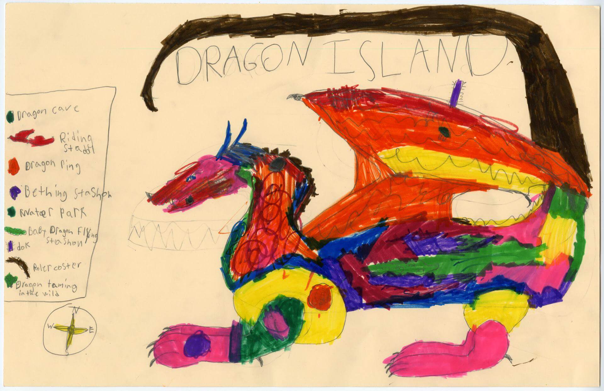
Logan B. of Brunswick
Harriet Beecher Stowe Elem – 4th Grade.
See larger at https://oshermaps.org/wp-content/uploads/2025/05/25.019.jpg
Pizza Island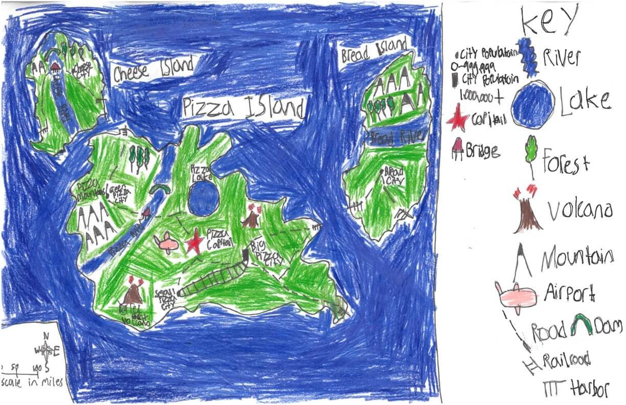
Lucas A. of York
York Middle School – 6th Grade.
See larger at https://oshermaps.org/wp-content/uploads/2025/05/25.268.jpg
Dragon & Red Panda Island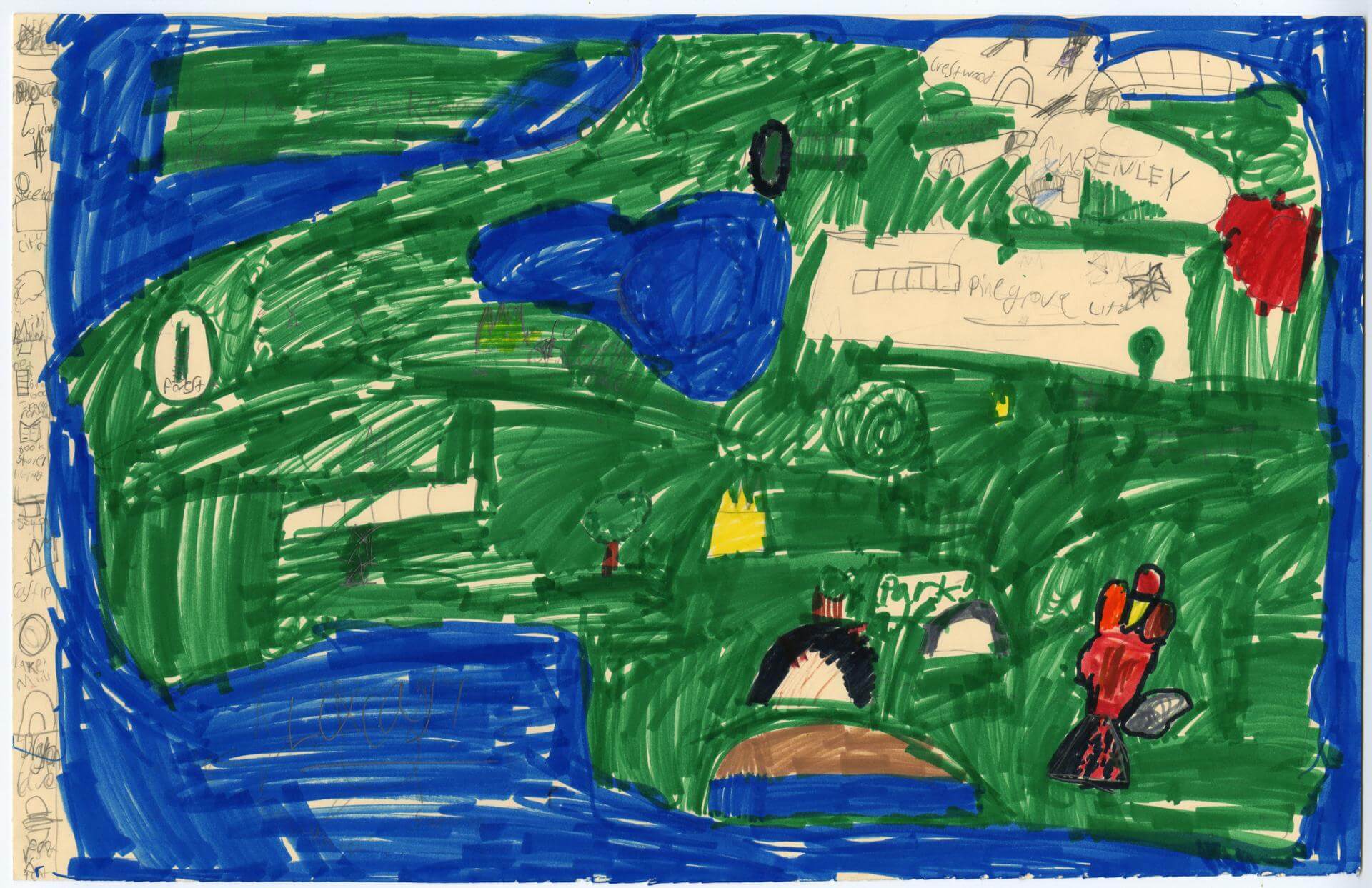
Lucas D. of Brunswick
Harriet Beecher Stowe Elem – 4th Grade.
See larger at https://oshermaps.org/wp-content/uploads/2025/05/25.022.jpg
Wonderland 7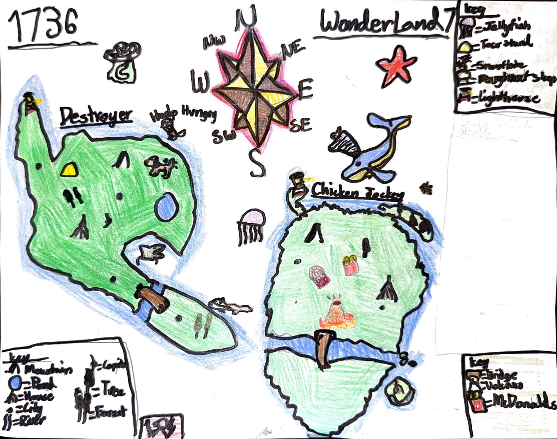
Lucas H. of Gorham
Great Falls School – 4th Grade.
See larger at https://oshermaps.org/wp-content/uploads/2025/05/25.331.jpg
Mountain City and the Sea Beast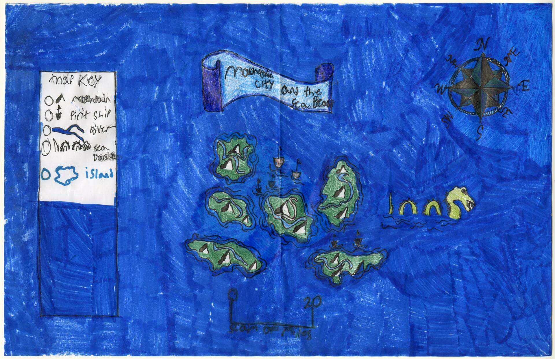
Lucas H. of Brunswick
Brunswick Jr. High – 6th Grade.
See larger at https://oshermaps.org/wp-content/uploads/2025/05/25.071.jpg
Medieval Southern Europe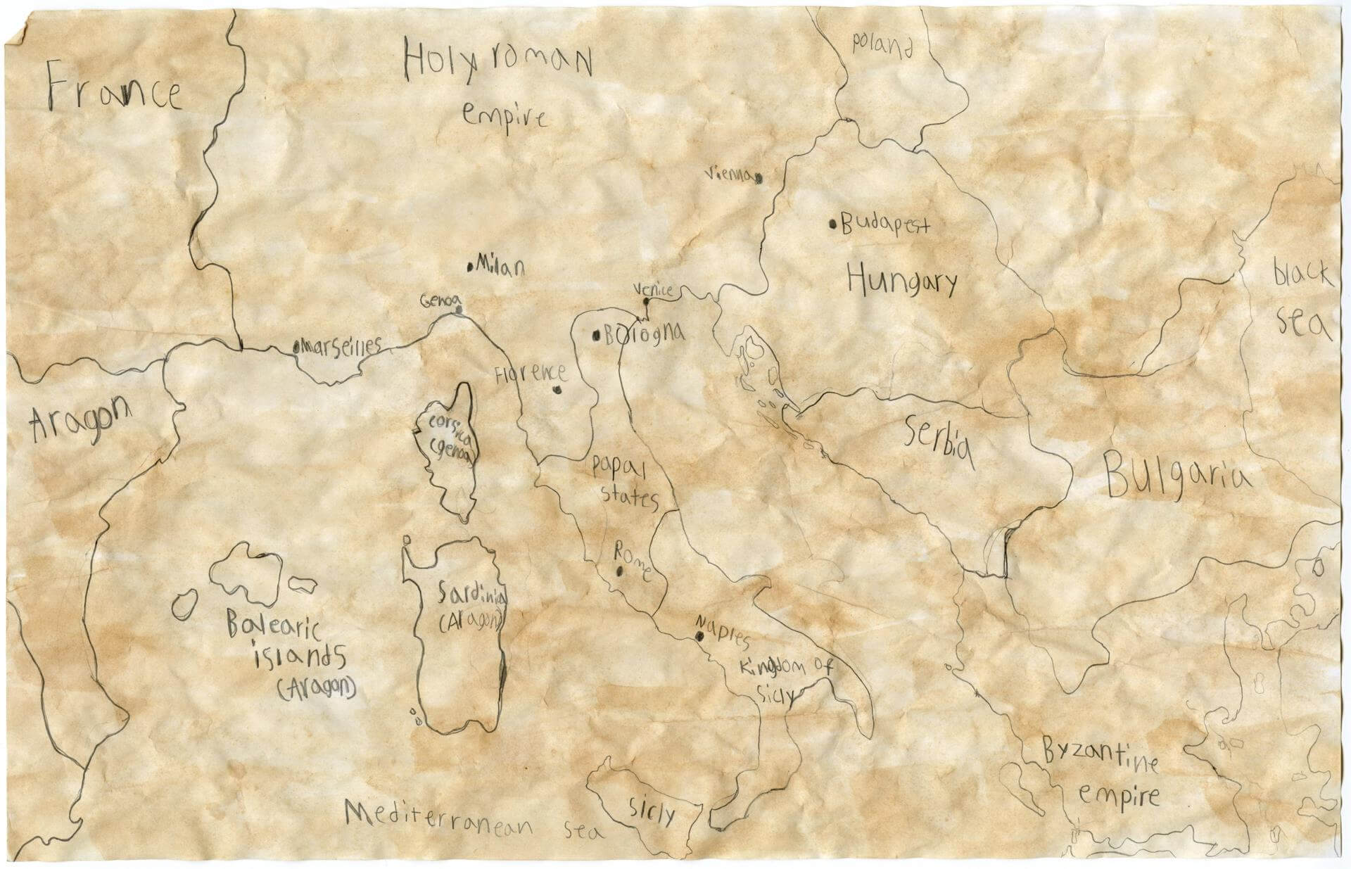
Lucas O. of Yarmouth
Yarmouth Elementary – 5th Grade.
See larger at https://oshermaps.org/wp-content/uploads/2025/05/25.050.jpg
Willow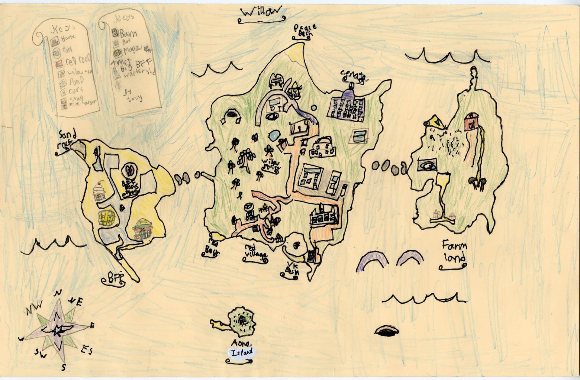
Lucy B. of Brunswick
Harriet Beecher Stowe Elem – 4th Grade.
See larger at https://oshermaps.org/wp-content/uploads/2025/05/25.016.jpg
Billie Island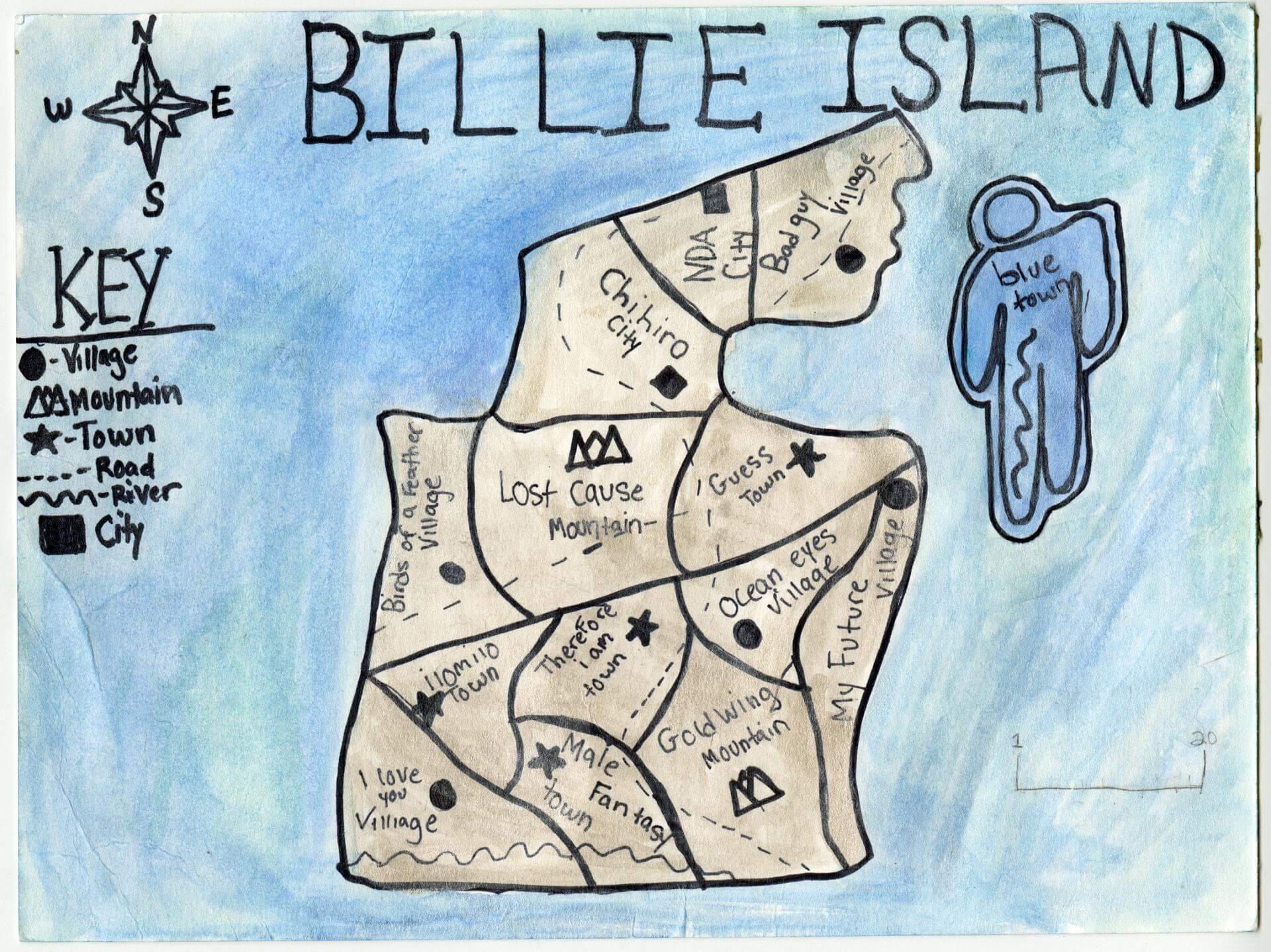
Lucy F. of Brunswick
Brunswick Jr. High – 6th Grade.
See larger at https://oshermaps.org/wp-content/uploads/2025/05/25.081.jpg
Lizard Isle 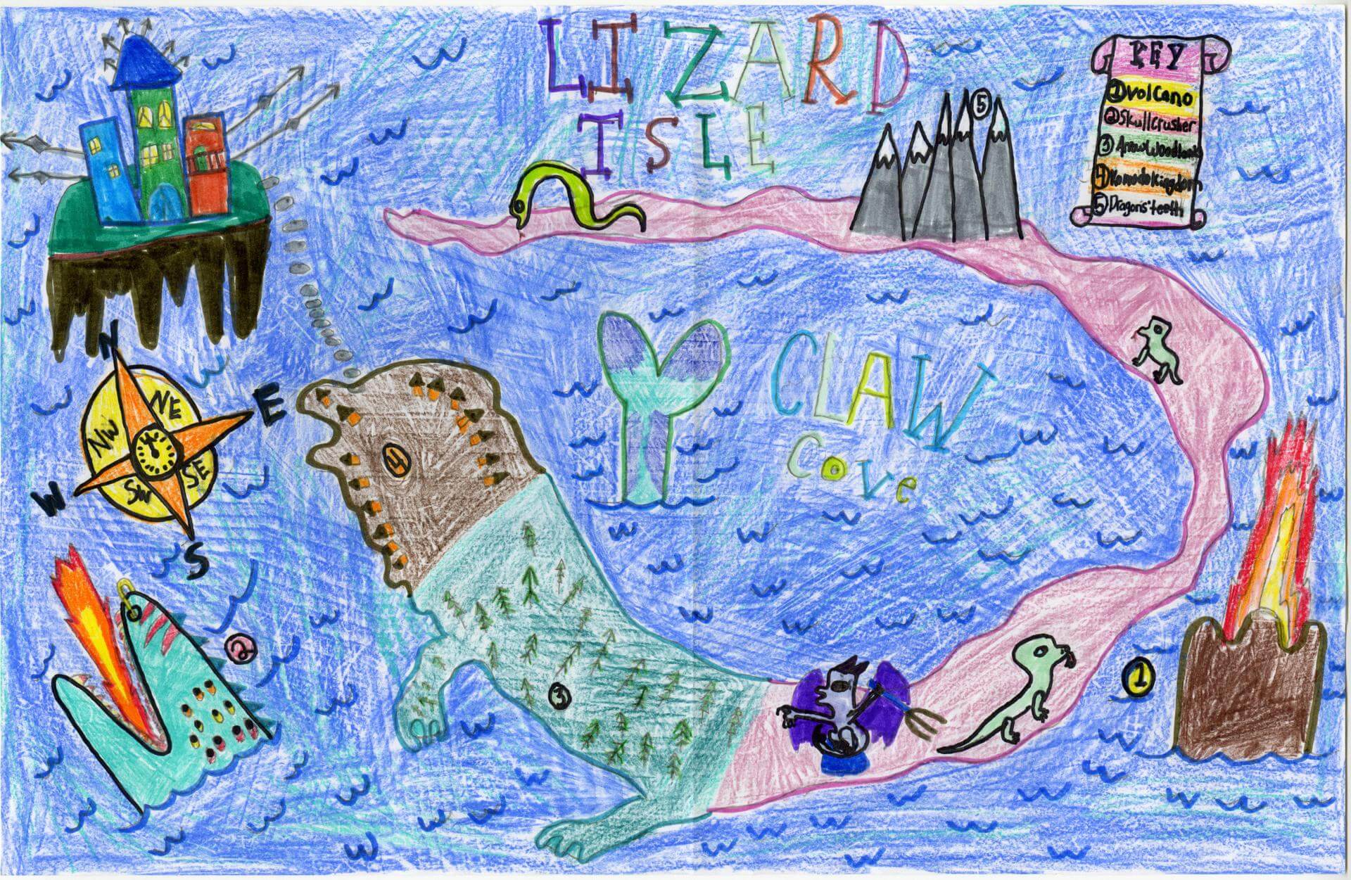
Luzetta S. of Gorham
Great Falls Elementary School – 4th Grade.
See larger at https://oshermaps.org/wp-content/uploads/2025/05/25.222.jpg
Fairyland Island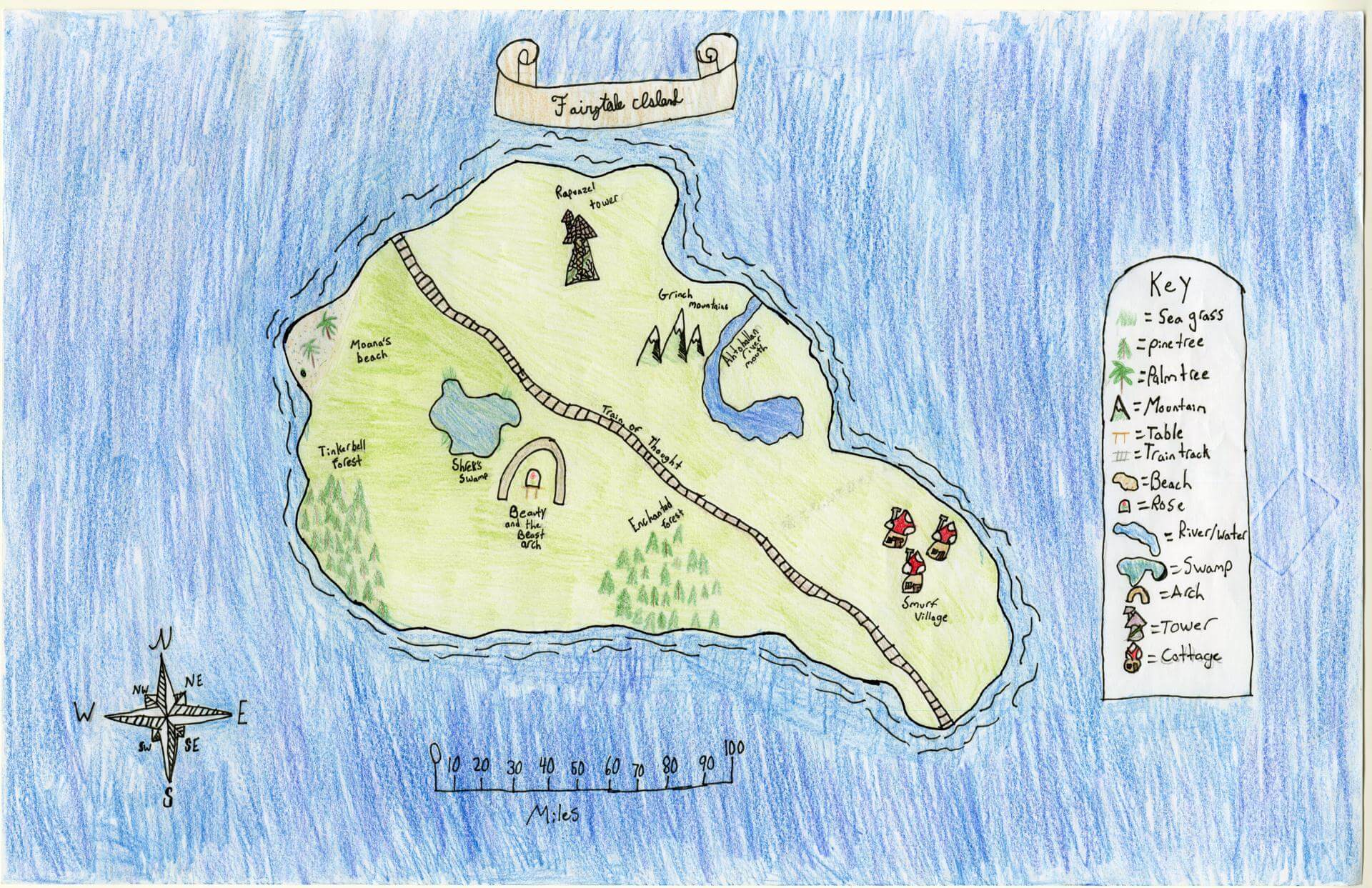
Mabel L. of Brunswick
Brunswick Jr. High – 6th Grade.
See larger at https://oshermaps.org/wp-content/uploads/2025/05/25.077.jpg
Chebague Island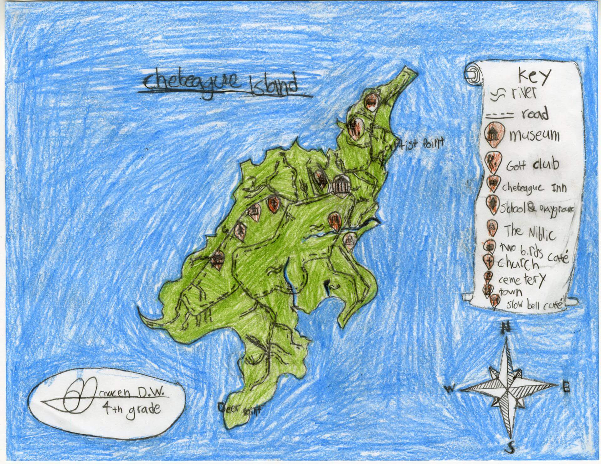
Macen D. of Poland
Fiddlehead School of Arts and Sciences – 4th Grade.
See larger at https://oshermaps.org/wp-content/uploads/2025/05/25.195.jpg
Unicorn Island
Mackenna E. of South Berwick
Marshwood Great Works School – 4th Grade.
See larger at https://oshermaps.org/wp-content/uploads/2025/05/25.246.jpg
Rail Road State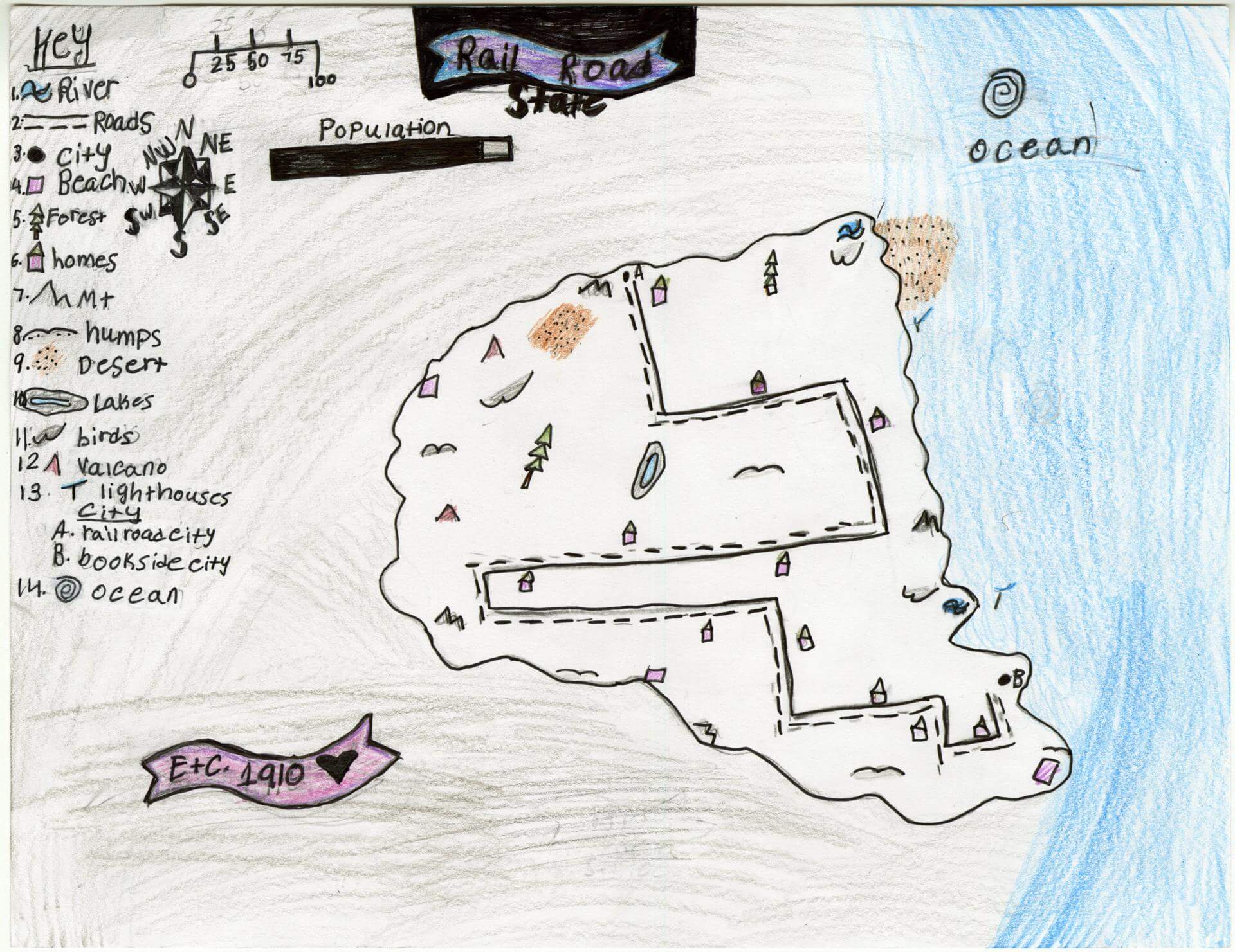
Mackenzie W. of Bradley
Old Town Elementary School – 4th Grade.
See larger at https://oshermaps.org/wp-content/uploads/2025/05/25.202.jpg
Dragon Island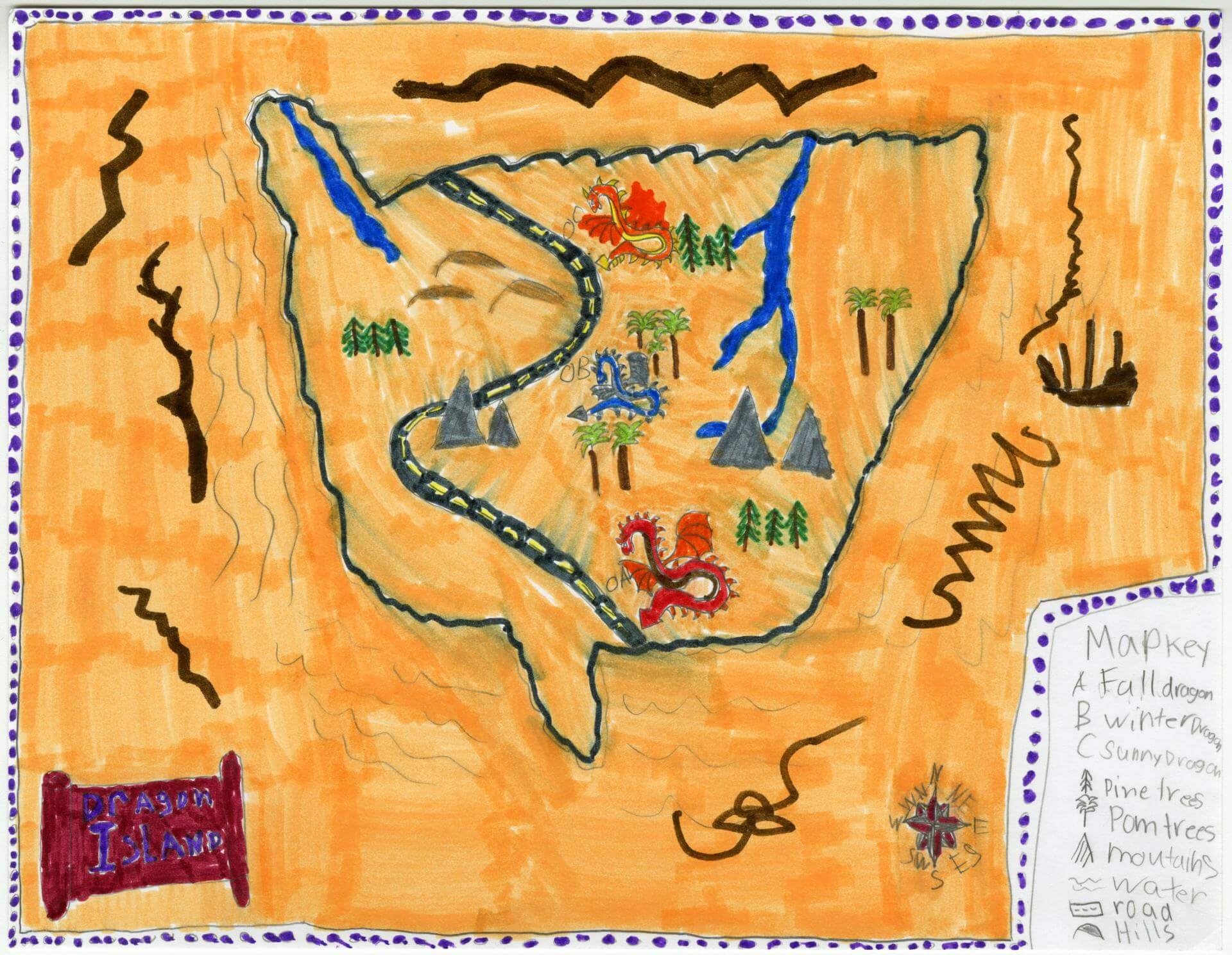
Madelyn M. of Gorham
Narragansett Elementary – 4th Grade.
See larger at https://oshermaps.org/wp-content/uploads/2025/05/25.115.jpg
Tropical Island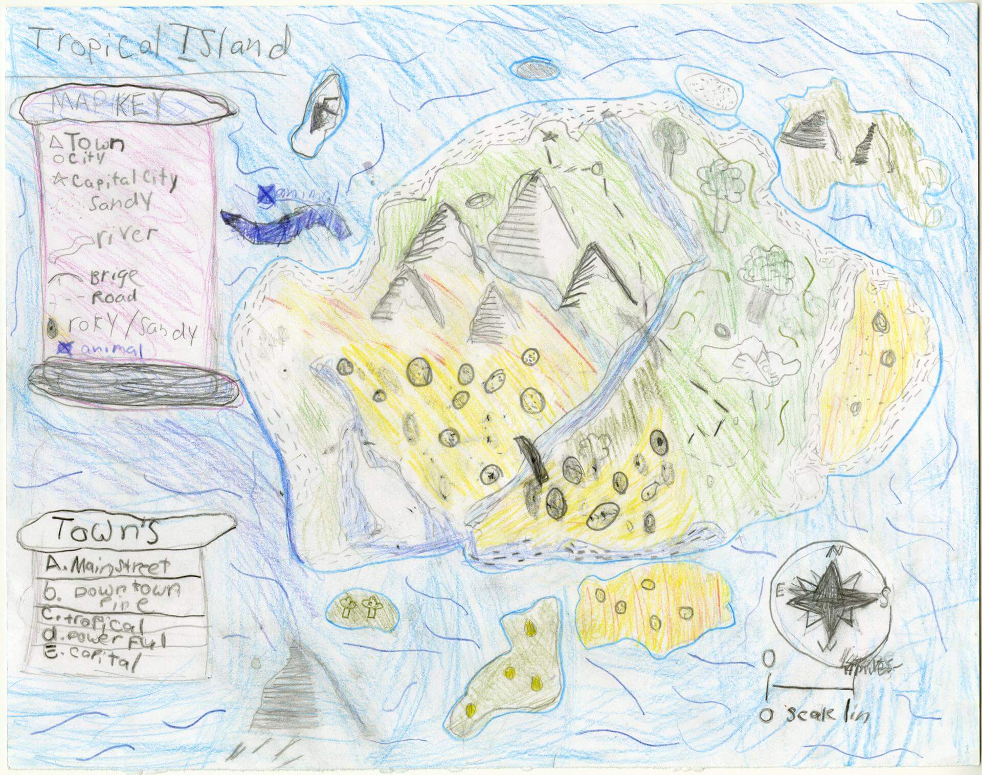
Madilyn M. of Oxford
Oxford Elementary – 5th Grade.
See larger at https://oshermaps.org/wp-content/uploads/2025/05/25.188.jpg
Deer Island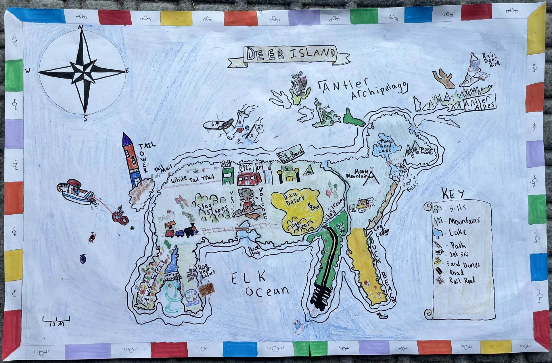
Maggie M. of Brunswick
Brunswick Jr. High – 6th Grade.
See larger at https://oshermaps.org/wp-content/uploads/2025/05/25.348.jpg
Halfling Ocean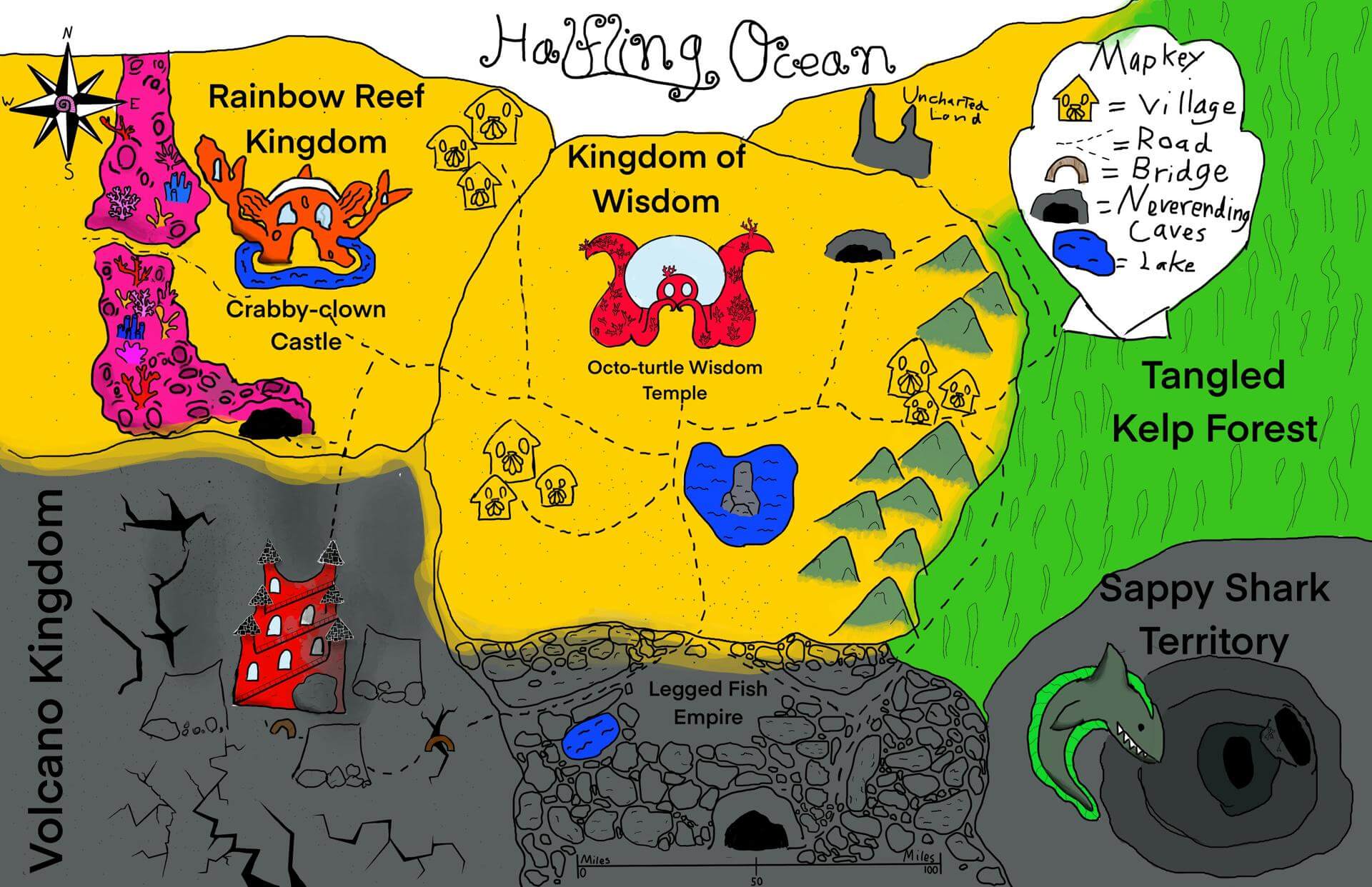
Maia B. of Lewiston
Fiddlehead School of Arts and Sciences – 5th Grade.
See larger at https://oshermaps.org/wp-content/uploads/2025/05/25.325.jpg
Songbird Island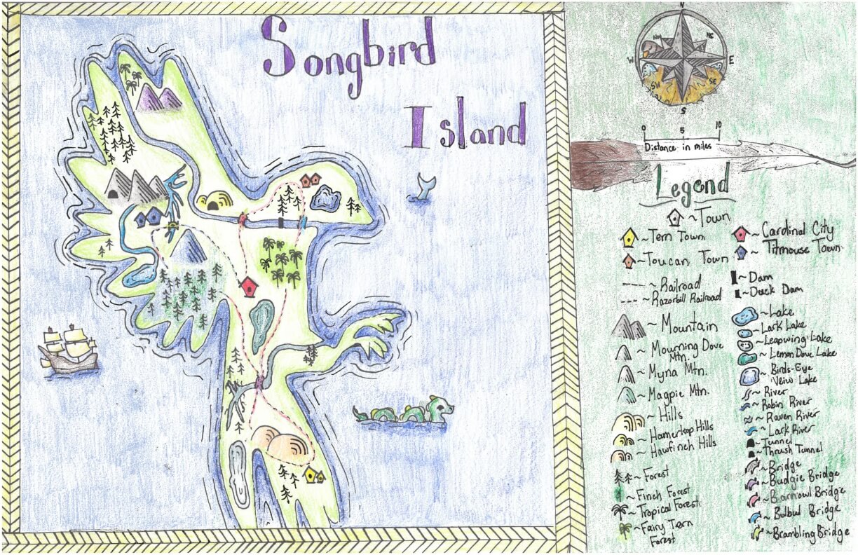
MAllory D. of York
York Middle School – 6th Grade.
See larger at https://oshermaps.org/wp-content/uploads/2025/05/25.263.jpg
Isle of Musique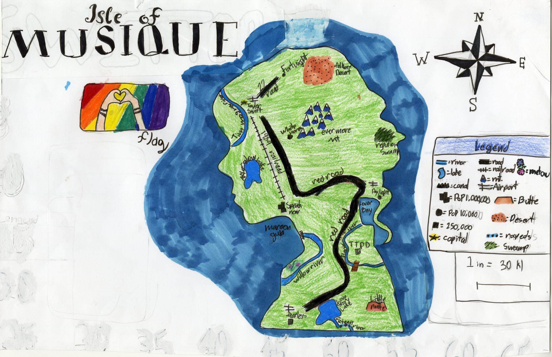
Margaret P. of Yarmouth
Yarmouth Elementary – 5th Grade.
See larger at https://oshermaps.org/wp-content/uploads/2025/05/25.053.jpg
Rainbow’s Doom Land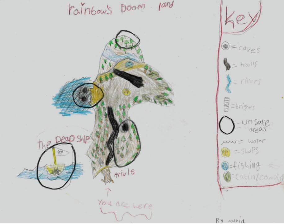
Maria G. of Gray
Fiddlehead School of Arts and Sciences – 5th Grade.
See larger at https://oshermaps.org/wp-content/uploads/2025/05/25.305.jpg
The Land of the Impossible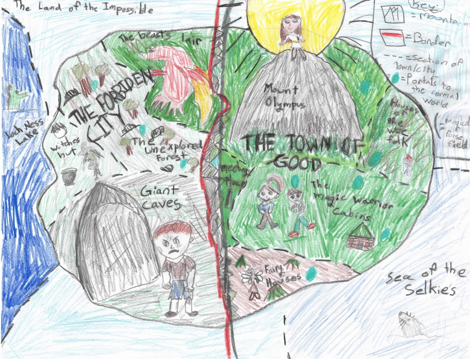
Mariana M. of Falmouth
Falmouth Elementary School – 4th Grade.
See larger at https://oshermaps.org/wp-content/uploads/2025/05/25.298.jpg
Tropical Island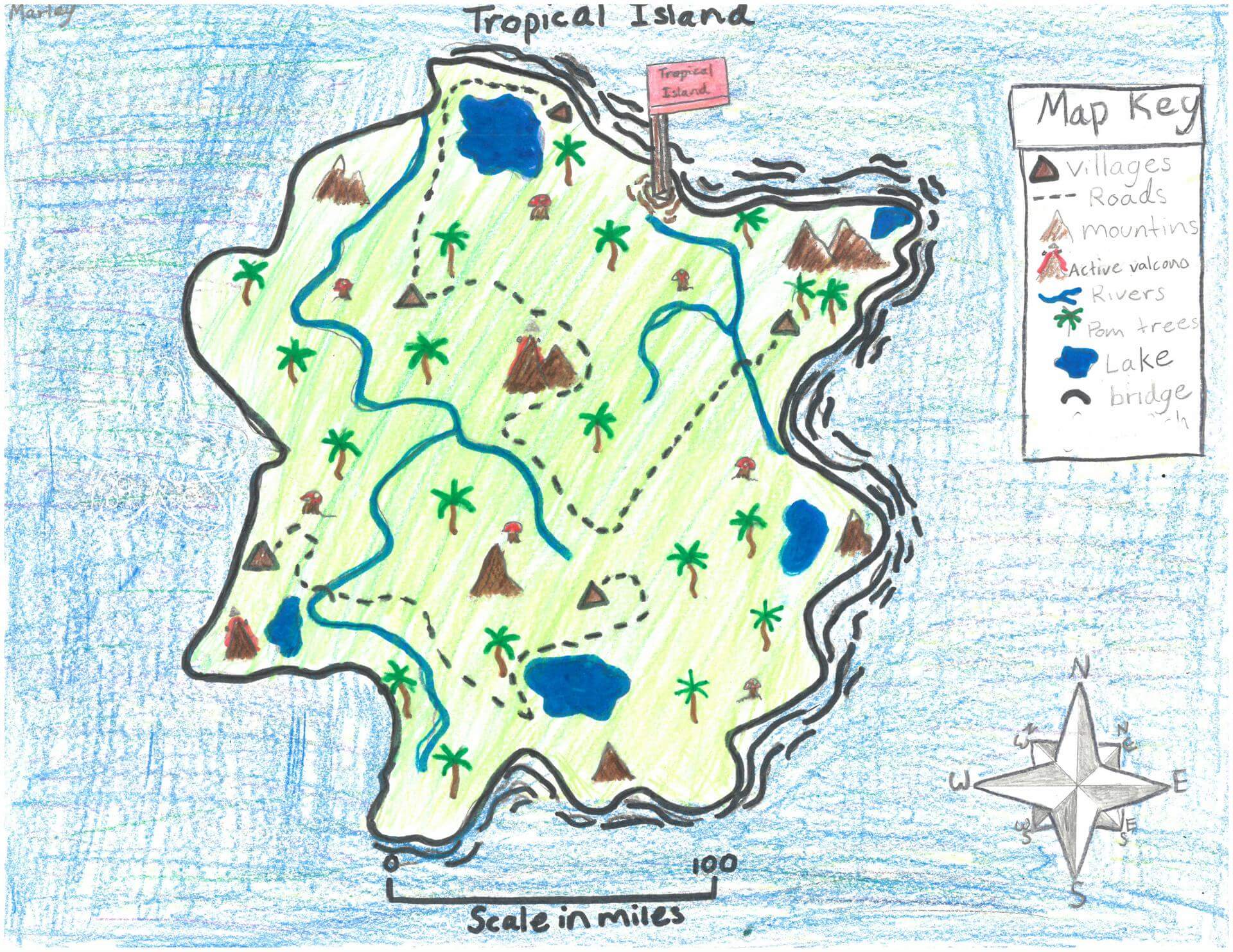
Marley G. of Newcastle
Great Salt Bay School – 5th Grade.
See larger at https://oshermaps.org/wp-content/uploads/2025/05/25.238.jpg
Dragon Town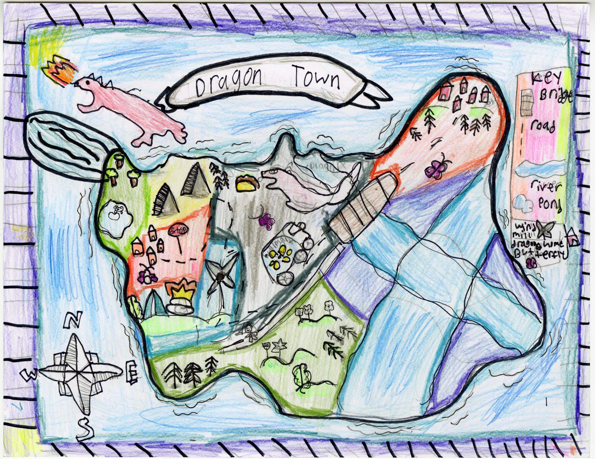
Marley- Marie M. of Old Town
Old Town Elementary School – 4th Grade.
See larger at https://oshermaps.org/wp-content/uploads/2025/05/25.208.jpg
Brothers Island
Matteo V. of Gorham
Great Falls School – 4th Grade.
See larger at https://oshermaps.org/wp-content/uploads/2025/05/25.332.jpg
Potato Island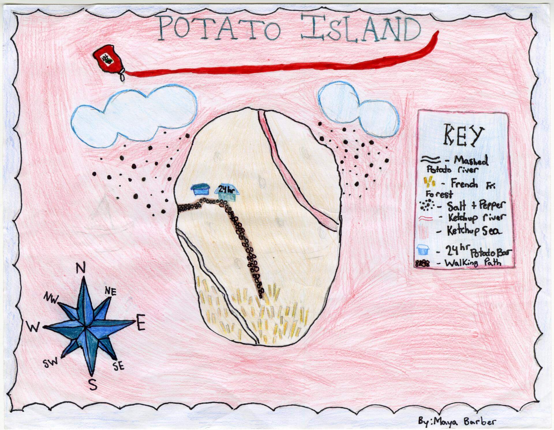
Maya B. of Brunswick
Brunswick Jr. High – 6th Grade.
See larger at https://oshermaps.org/wp-content/uploads/2025/05/25.147.jpg
Seashell Island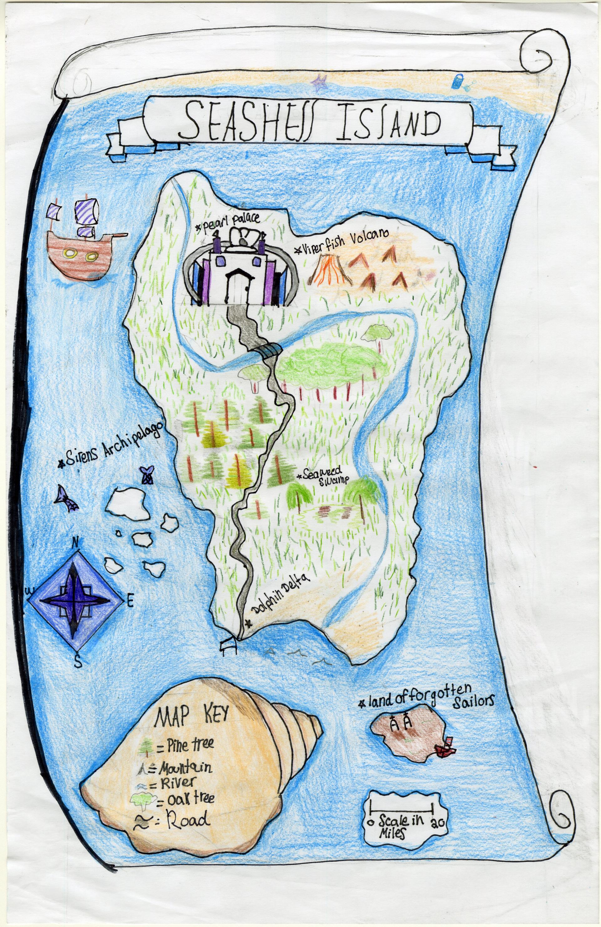
Maya M. of Brunswick
Brunswick Junior High – 6th Grade.
See larger at https://oshermaps.org/wp-content/uploads/2025/05/25.171.jpg
Fort Land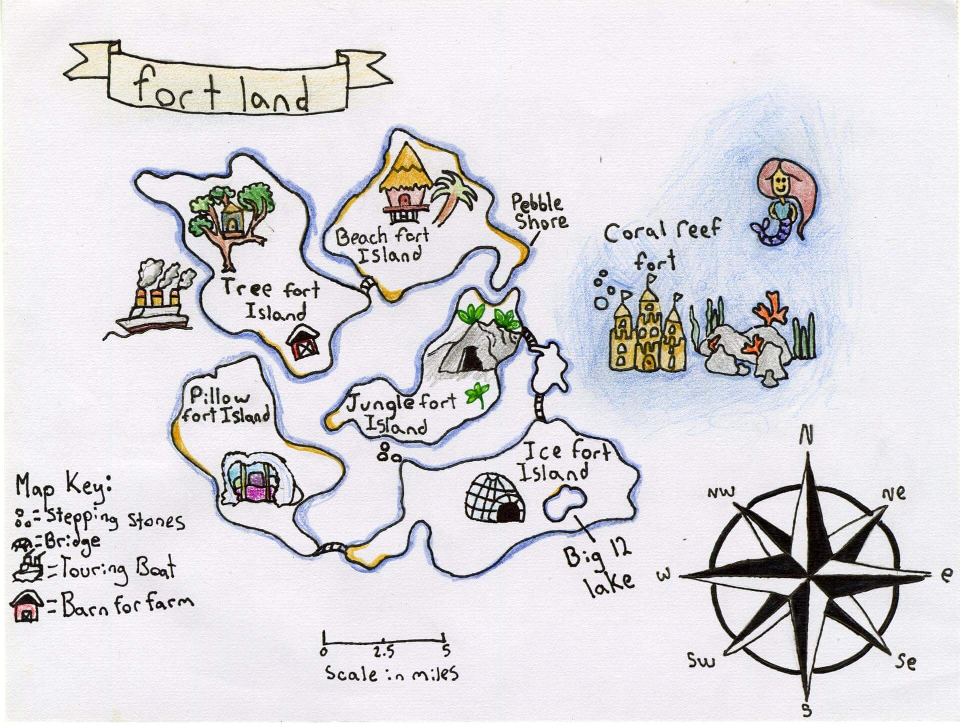
McKenna B. of Brunswick
Brunswick Jr. High – 6th Grade.
See larger at https://oshermaps.org/wp-content/uploads/2025/05/25.104.jpg
Untitled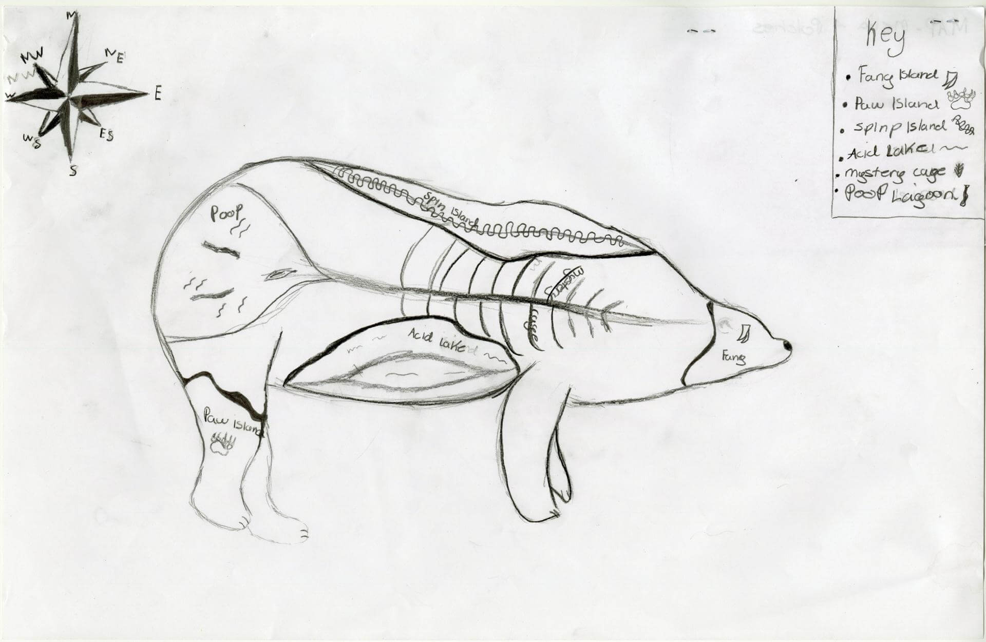
Melia P. of Indian Township
Indian Township – 6th Grade.
See larger at https://oshermaps.org/wp-content/uploads/2025/05/25.225.jpg
Hush Isle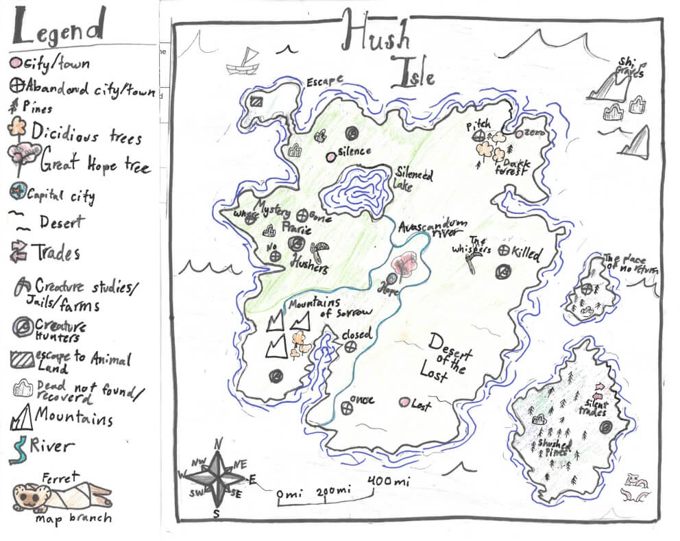
Mia D. of York
York Middle School – 6th Grade.
See larger at https://oshermaps.org/wp-content/uploads/2025/05/25.302.jpg
Preppy Island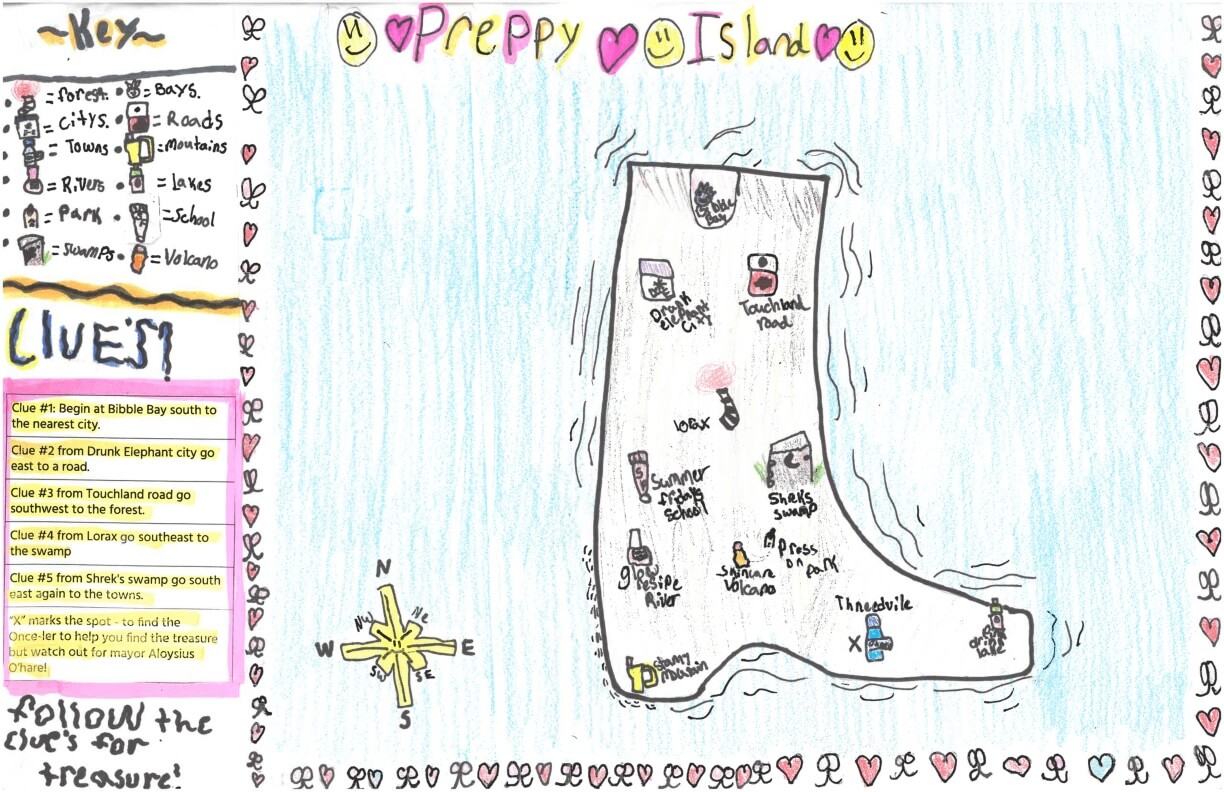
Michaela G. of York
York Middle School – 6th Grade.
See larger at https://oshermaps.org/wp-content/uploads/2025/05/25.282.jpg
Isle of New Haven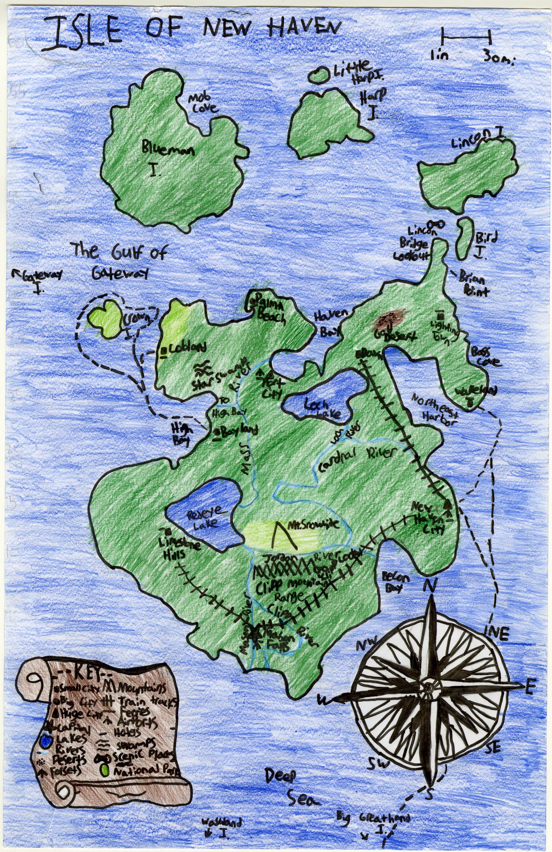
Miles P. of Yarmouth
Yarmouth Elementary – 5th Grade.
See larger at https://oshermaps.org/wp-content/uploads/2025/05/25.056.jpg
Canis Lupus Familiaris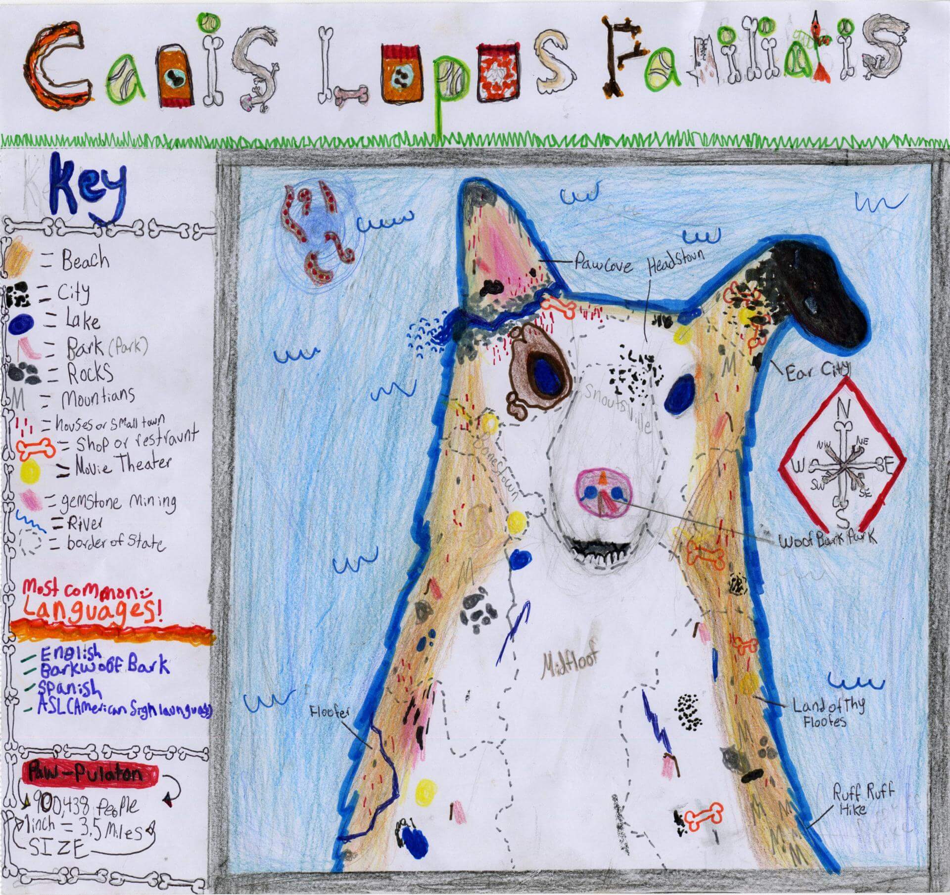
Millie S. of South Berwick
Marshwood Great Works School – 5th Grade.
See larger at https://oshermaps.org/wp-content/uploads/2025/05/25.032.jpg
Treasure Map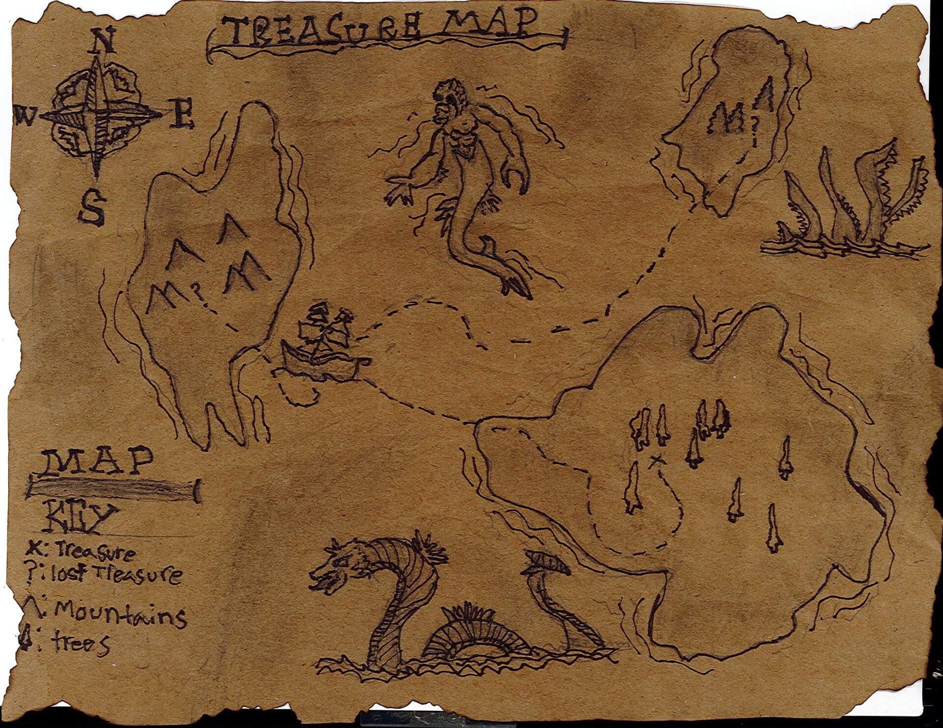
Mira E. of South Berwick
Marshwood Great Works School – 4th Grade.
See larger at https://oshermaps.org/wp-content/uploads/2025/05/25.342.jpg
The Islands of Hattia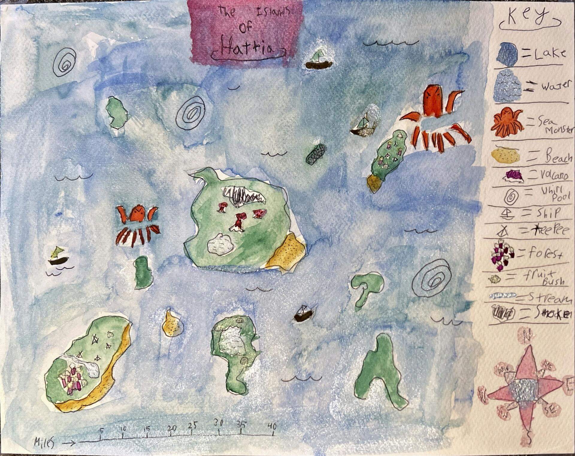
Mirabell H. of Brunswick
Harriet Beecher Stowe Elementary School – 5th Grade.
See larger at https://oshermaps.org/wp-content/uploads/2025/05/25.260.jpg
Turtle Island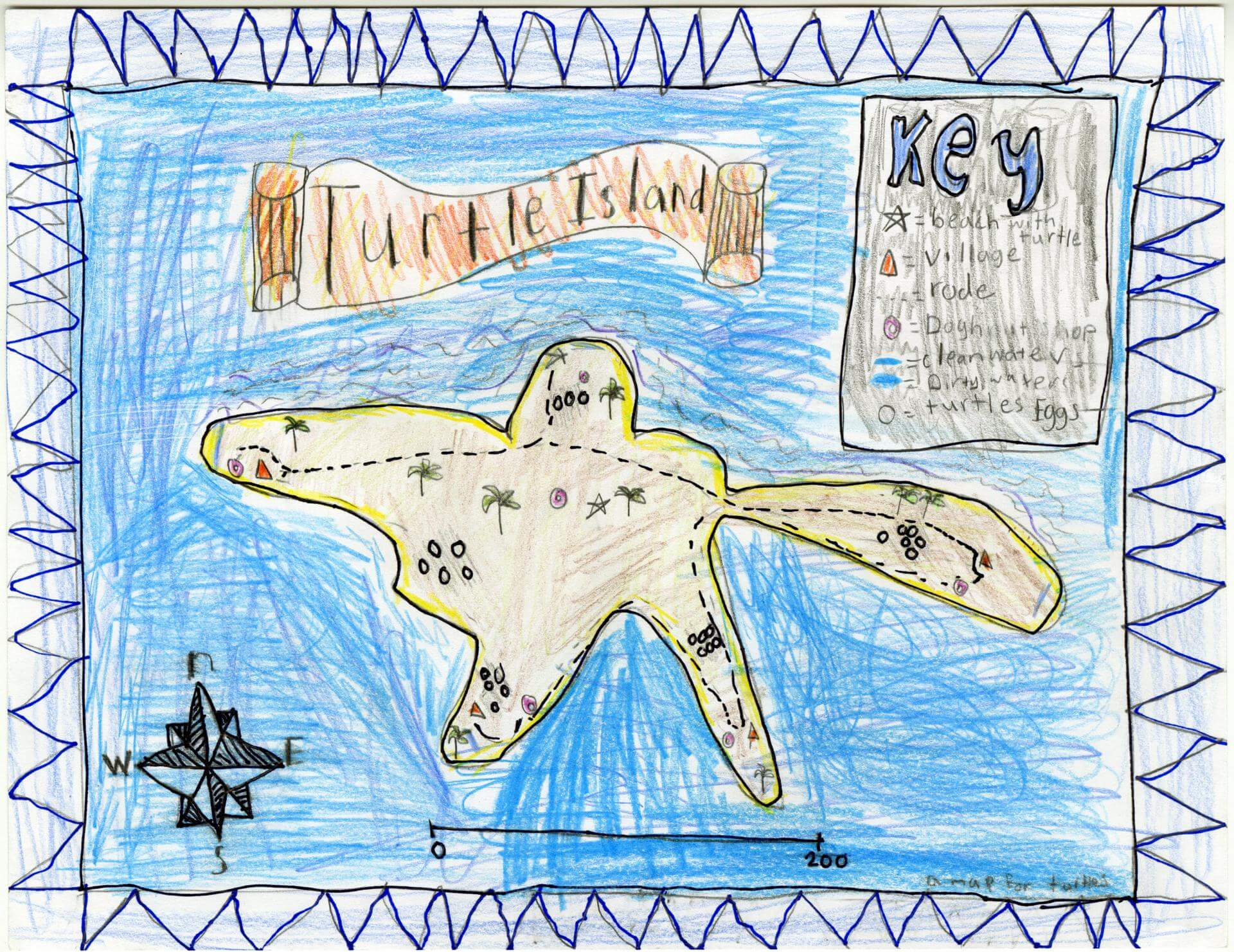
Miyah B. of Old Town
Old Town Elementary School – 4th Grade.
See larger at https://oshermaps.org/wp-content/uploads/2025/05/25.210.jpg
Liberty Island
Molly H. of Brunswick
Brunswick Junior High – 6th Grade.
See larger at https://oshermaps.org/wp-content/uploads/2025/05/25.169.jpg
Cookie Land 
Nahlya S. of Indian Township
Indian Township – 5th Grade.
See larger at https://oshermaps.org/wp-content/uploads/2025/05/25.224.jpg
Blueberry Island
Naima D. of Princeton
Princeton – 6th Grade.
See larger at https://oshermaps.org/wp-content/uploads/2025/05/25.214.jpg
Neverland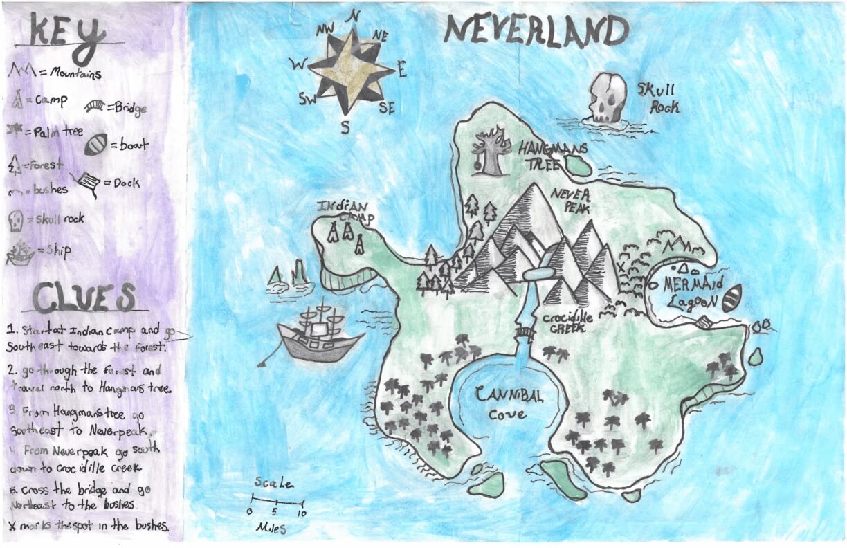
Natalie N. of York
York Middle School – 6th Grade.
See larger at https://oshermaps.org/wp-content/uploads/2025/05/25.281.jpg
Temperature Island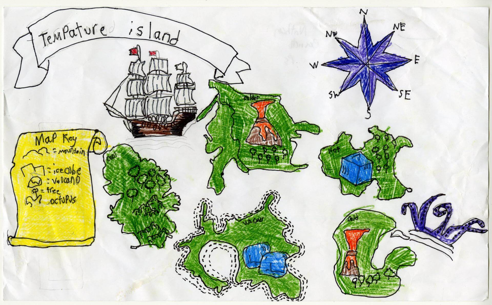
Nathan B. of Richmond
Brunswick Jr. High – 6th Grade.
See larger at https://oshermaps.org/wp-content/uploads/2025/05/25.132.jpg
Wandland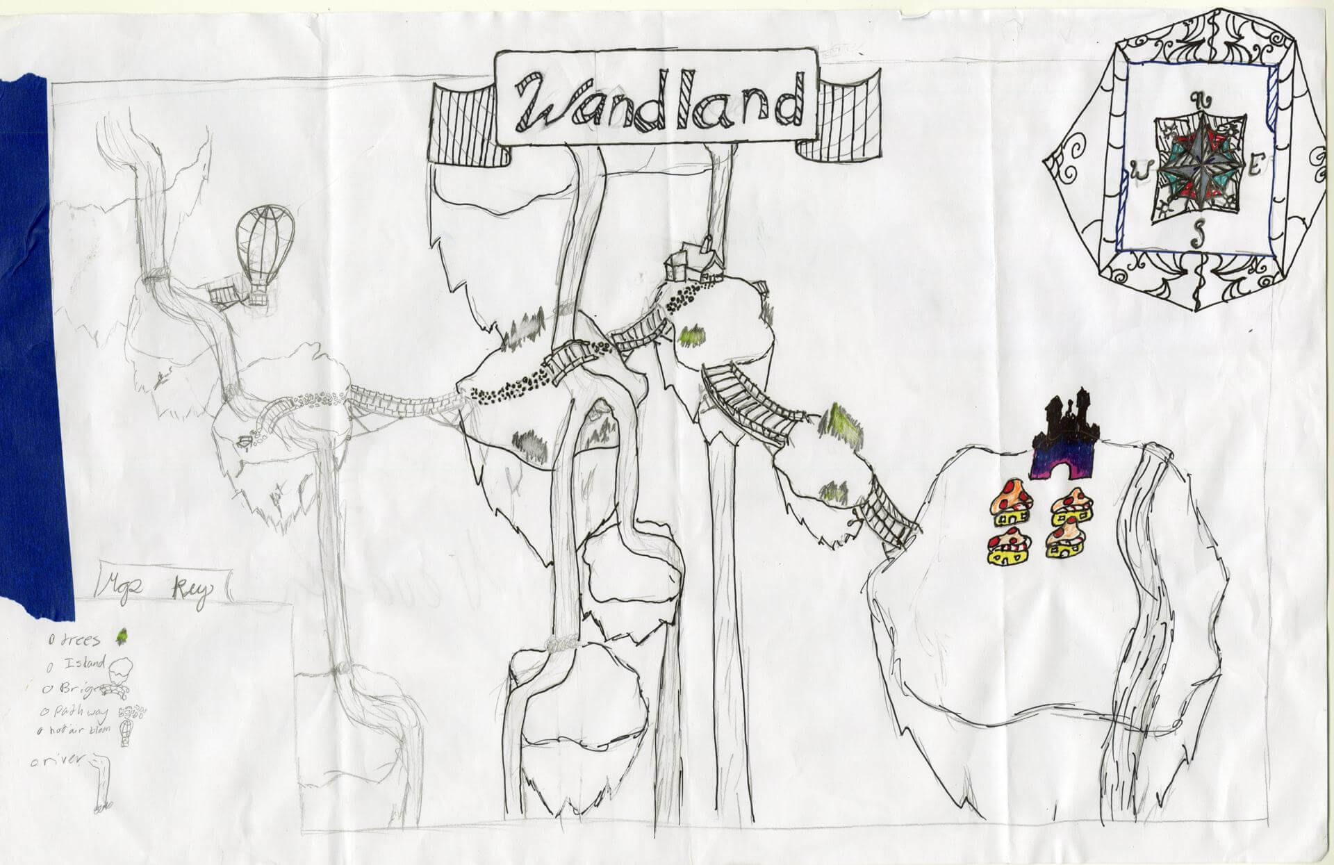
Nevaeh L. of Brunswick
Brunswick Jr. High – 6th Grade.
See larger at https://oshermaps.org/wp-content/uploads/2025/05/25.101.jpg
The Island of Sunglasses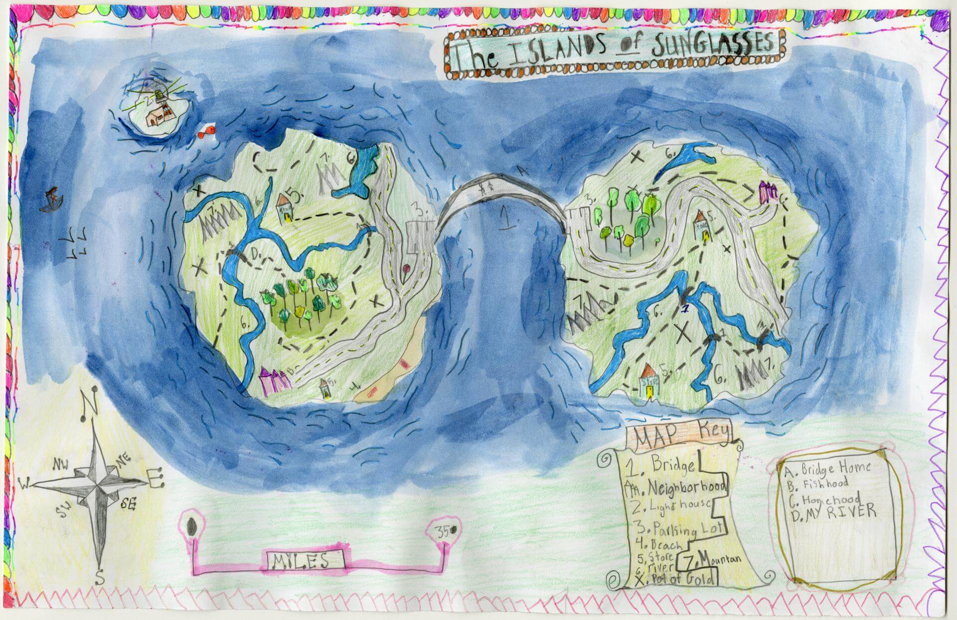
Nina W. of Gorham
Narragansett Elementary – 4th Grade.
See larger at https://oshermaps.org/wp-content/uploads/2025/05/25.036.jpg
Hydra Island Blox Fruit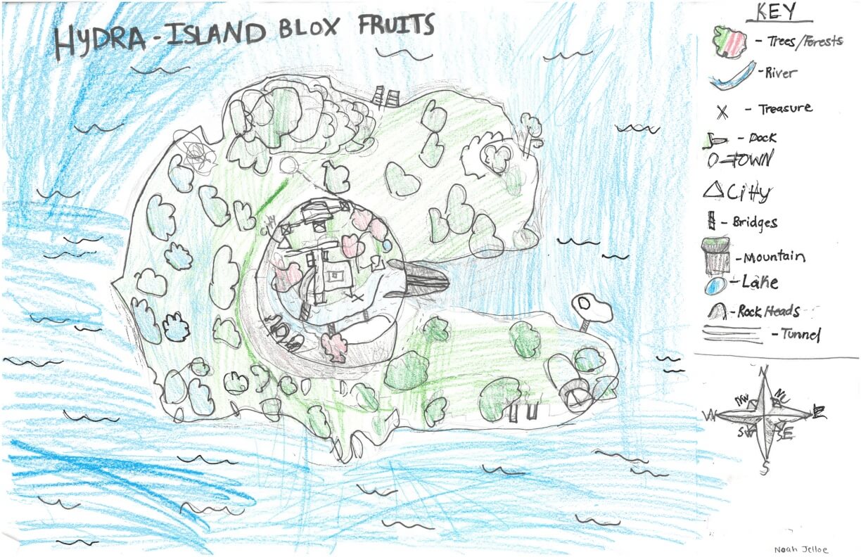
Noah J. of York
York Middle School – 6th Grade.
See larger at https://oshermaps.org/wp-content/uploads/2025/05/25.294.jpg
Railroad Island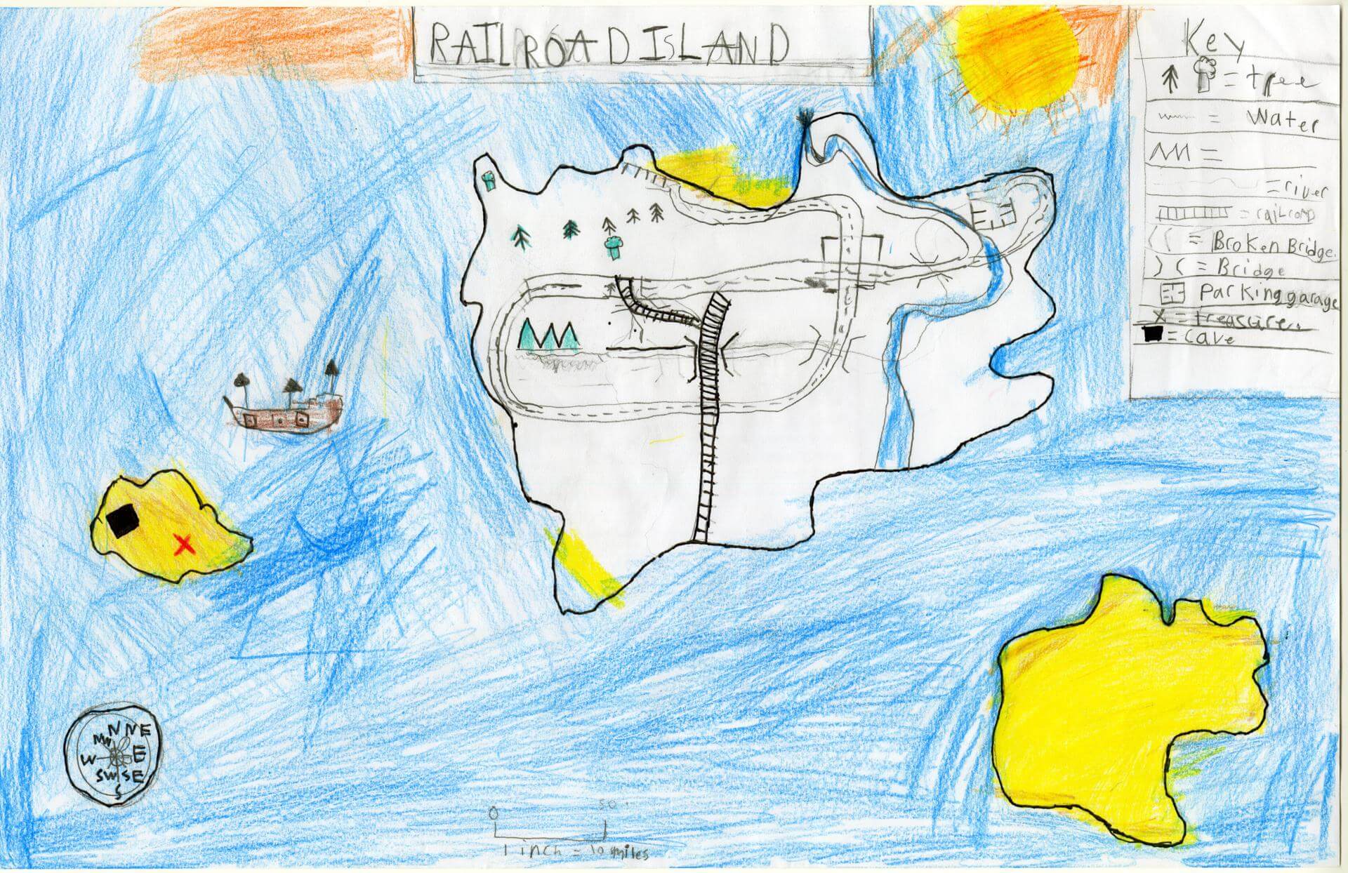
Noah M. of Brunswick
Brunswick Junior High – 6th Grade.
See larger at https://oshermaps.org/wp-content/uploads/2025/05/25.160.jpg
King Island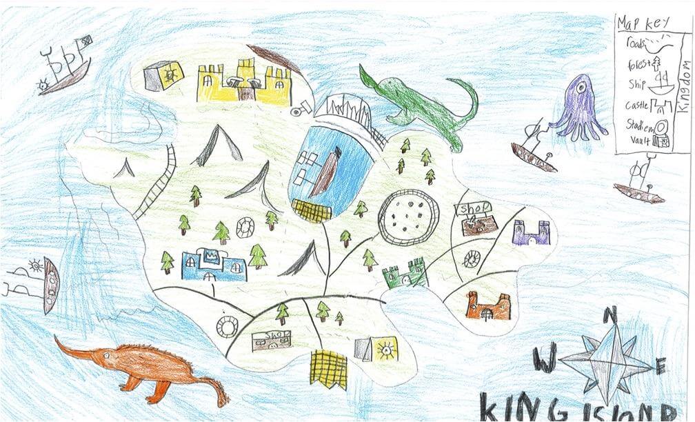
Noah W. of South Berwick
Marshwood Great Works – 4th Grade.
See larger at https://oshermaps.org/wp-content/uploads/2025/05/25.257.jpg
Oak Island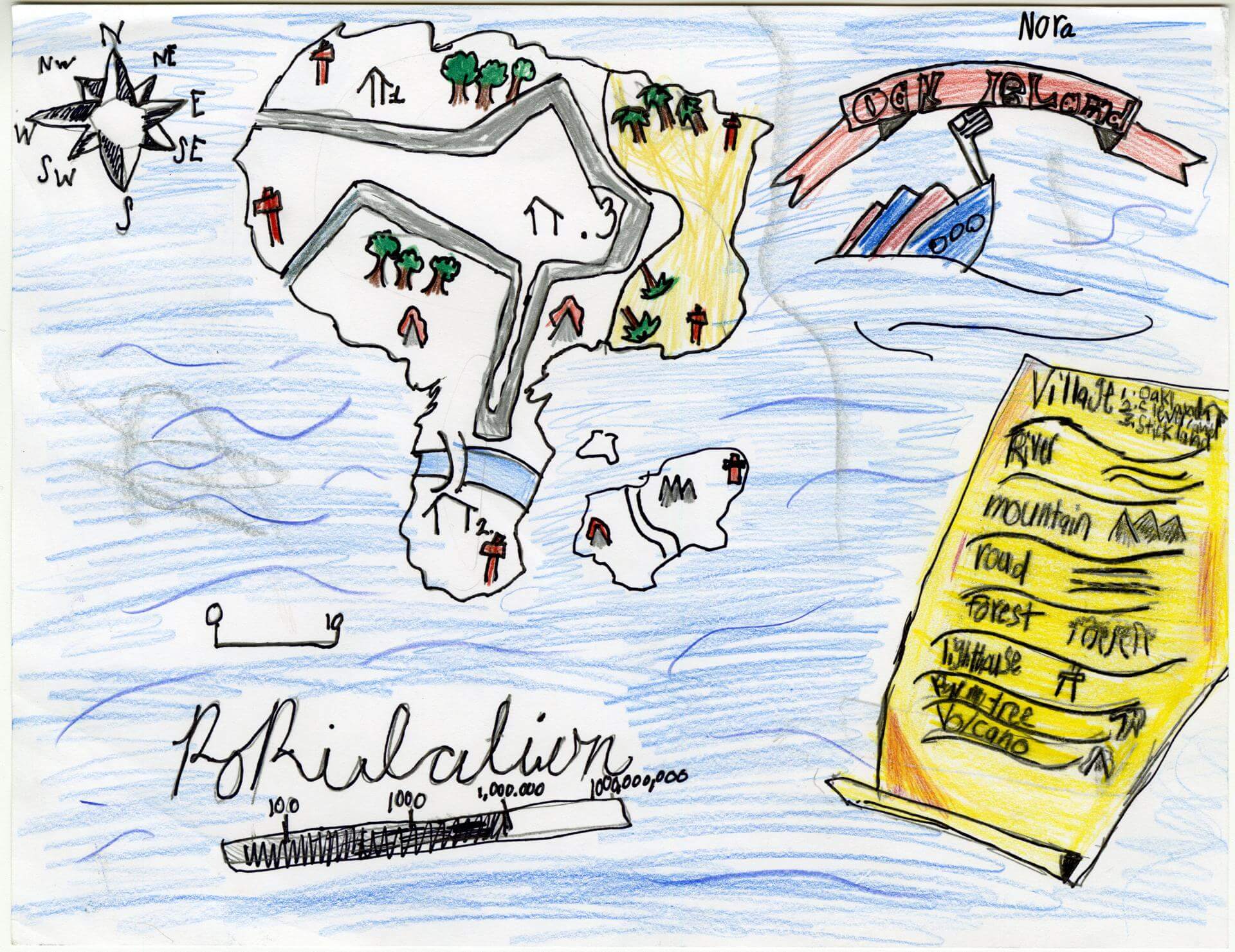
Nora B. of Old Town
Old Town Elementary School – 4th Grade.
See larger at https://oshermaps.org/wp-content/uploads/2025/05/25.200.jpg
Toucan Islands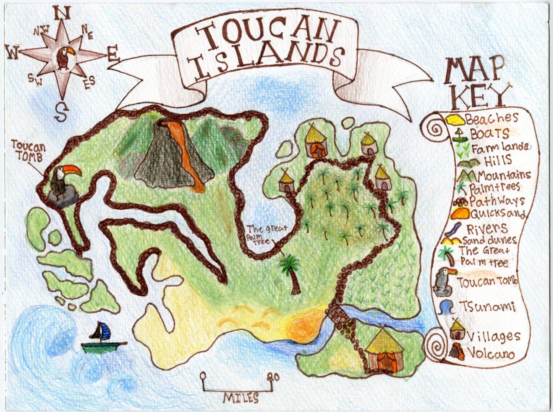
Nora C. of Brunswick
Brunswick Jr. High – 6th Grade.
See larger at https://oshermaps.org/wp-content/uploads/2025/05/25.110.jpg
Happy-Go-Lucky Island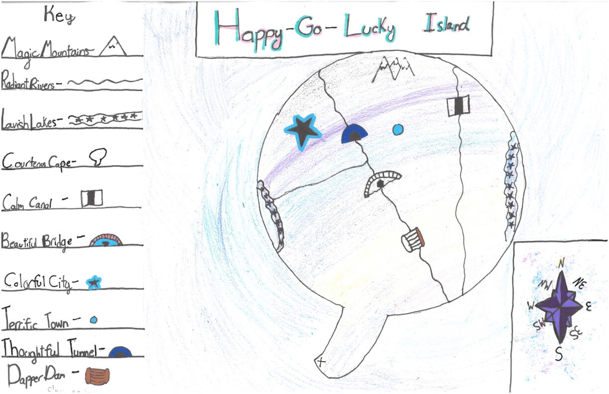
Norah N. of York
York Middle School – 6th Grade.
See larger at https://oshermaps.org/wp-content/uploads/2025/05/25.275.jpg
Big… Dirty Jim Island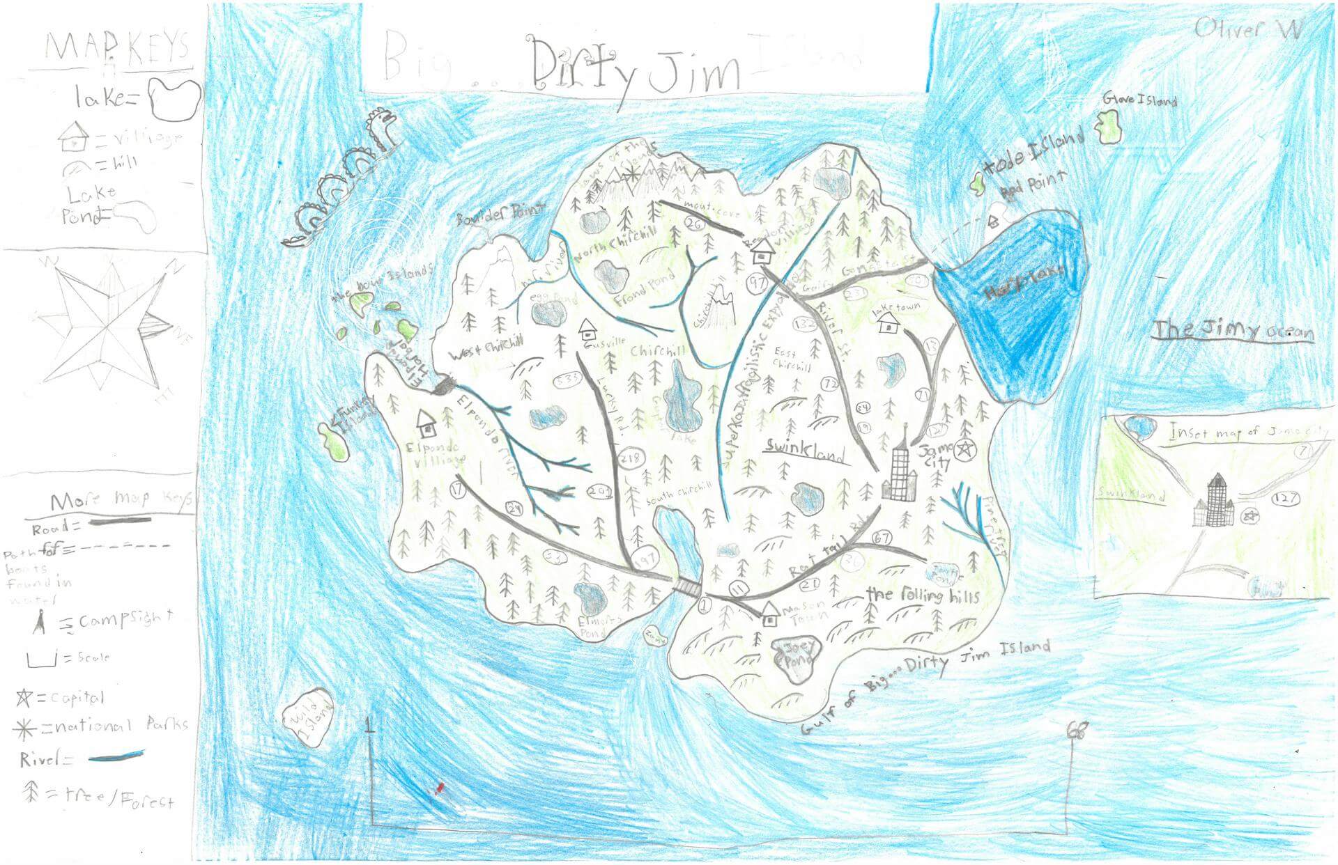
Oliver W. of Damariscotta
Great Salt Bay School – 5th Grade.
See larger at https://oshermaps.org/wp-content/uploads/2025/05/25.301.jpg
WNBA Island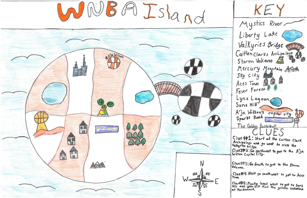
Olivia E. of York
York Middle School – 6th Grade.
See larger at https://oshermaps.org/wp-content/uploads/2025/05/25.266.jpg
Tropical Island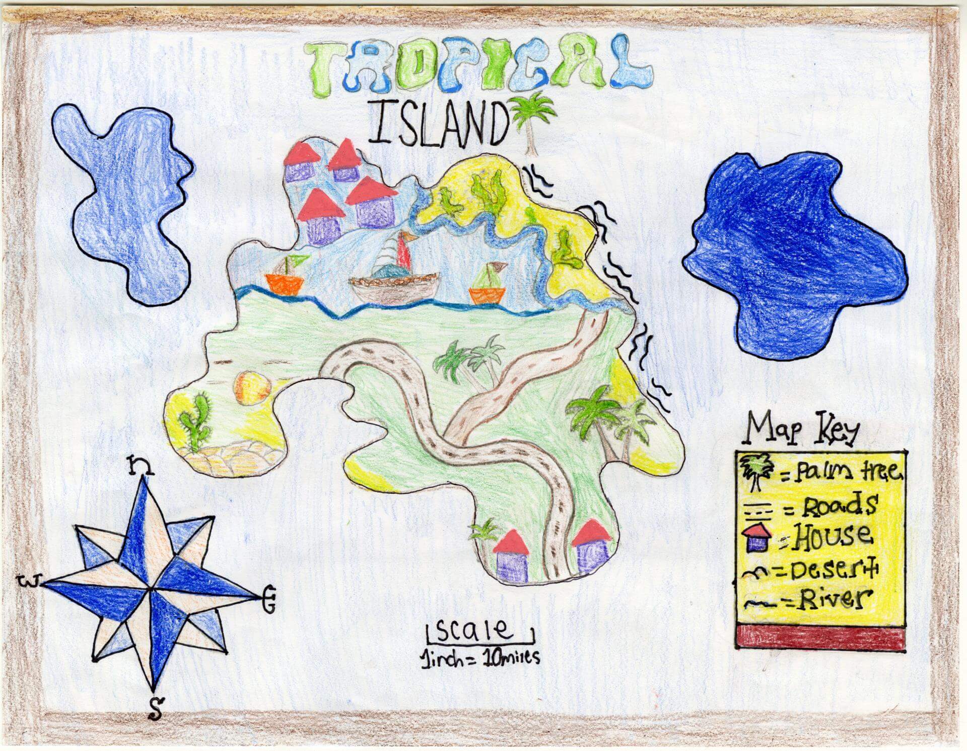
Olivia F. of Brunswick
Brunswick Jr. High – 6th Grade.
See larger at https://oshermaps.org/wp-content/uploads/2025/05/25.142.jpg
Konmor Island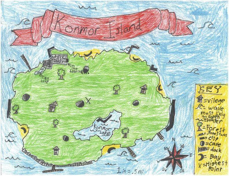
Ollie W. of Freeport
Maine Coast Waldorf School – 4th Grade.
See larger at https://oshermaps.org/wp-content/uploads/2025/05/25.327.jpg
Donut Island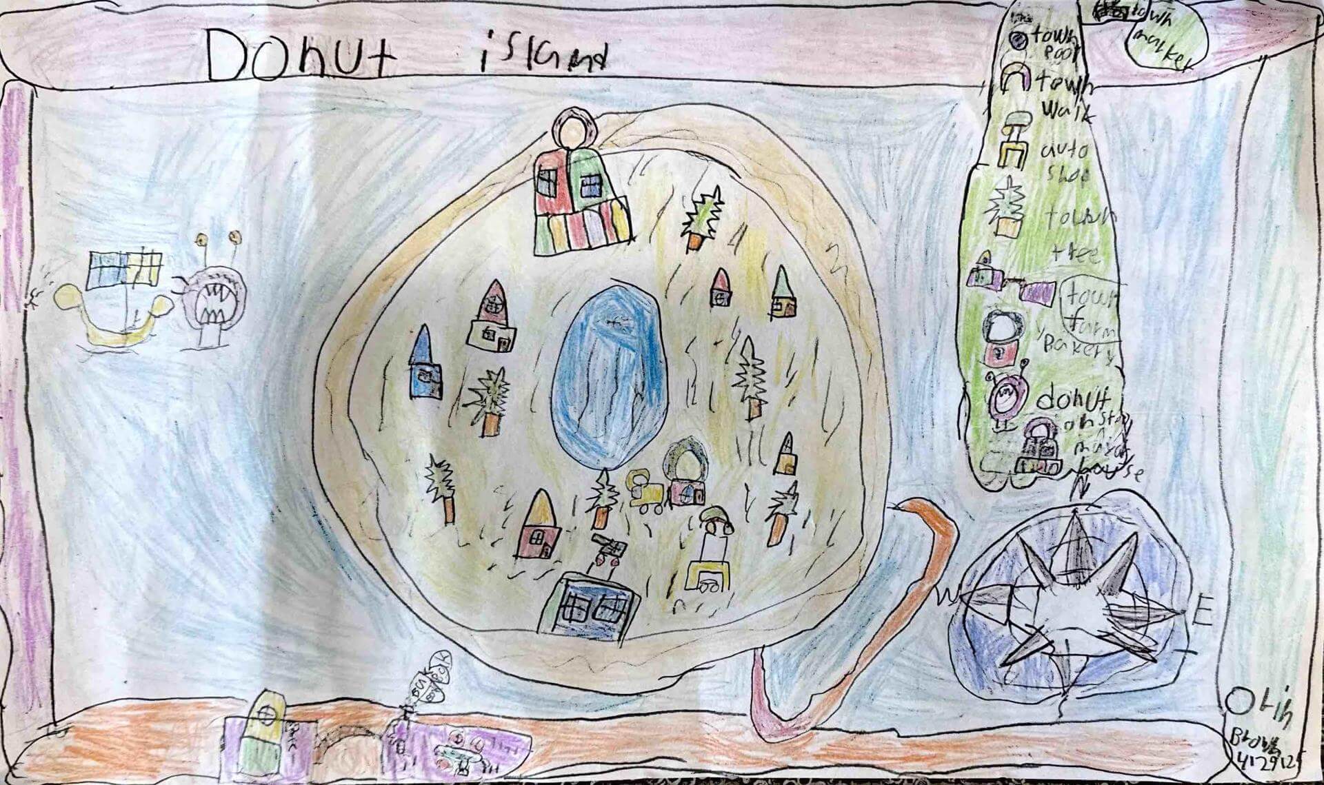
Orin B. of Gorham
Great Falls Elementary School – 4th Grade.
See larger at https://oshermaps.org/wp-content/uploads/2025/05/25.319.jpg
Carsingus Isle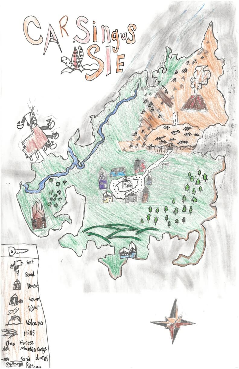
Otto S. of York
York Middle School – 6th Grade.
See larger at https://oshermaps.org/wp-content/uploads/2025/05/25.274.jpg
Fire Island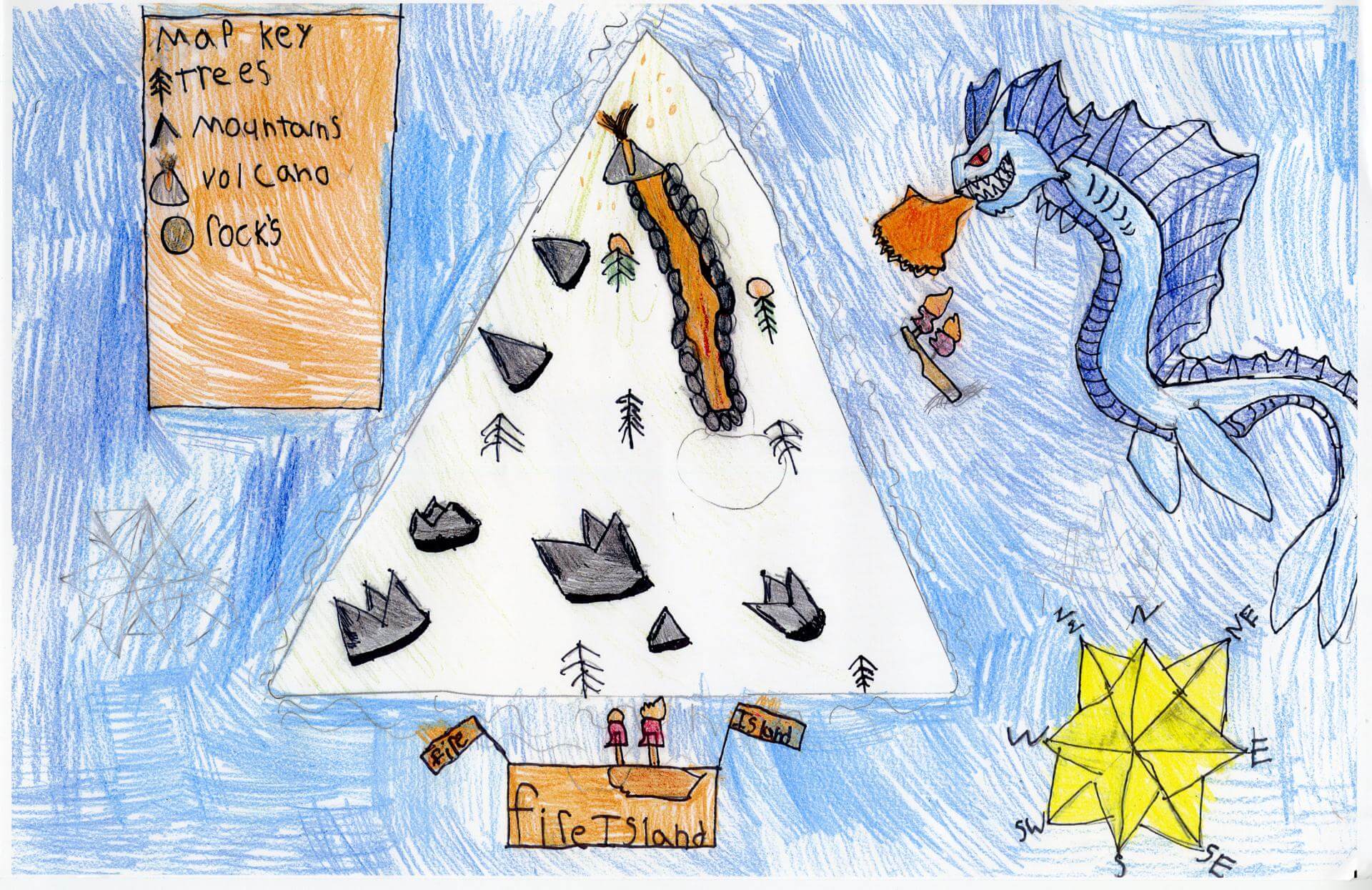
Paisynn C. of South Berwick
Marshwood Great Works School – 4th Grade.
See larger at https://oshermaps.org/wp-content/uploads/2025/05/25.339.jpg
Monster Island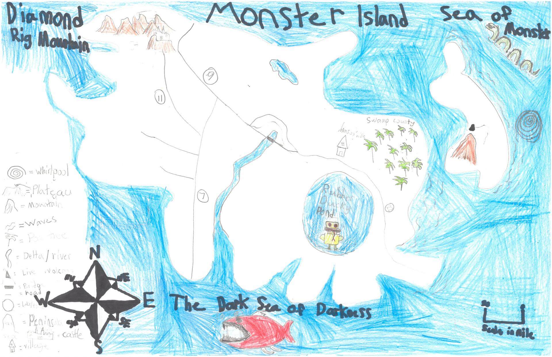
Parker S. of Newcastle
Great Salt Bay School – 5th Grade.
See larger at https://oshermaps.org/wp-content/uploads/2025/05/25.234.jpg
Soccer Island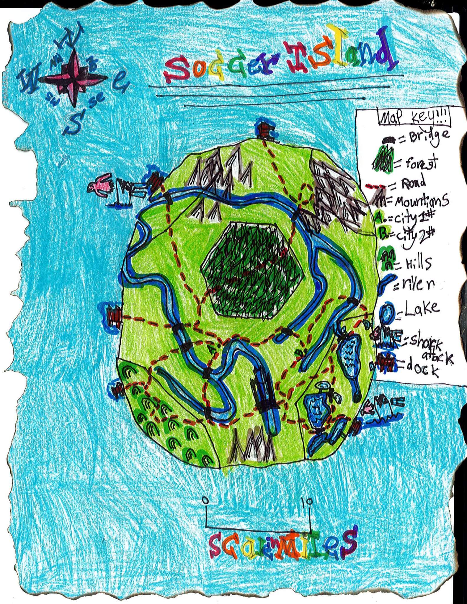
Paxton C. of Eliot
Marshwood Great Works School – 4th Grade.
See larger at https://oshermaps.org/wp-content/uploads/2025/05/25.344.jpg
Turtle Islands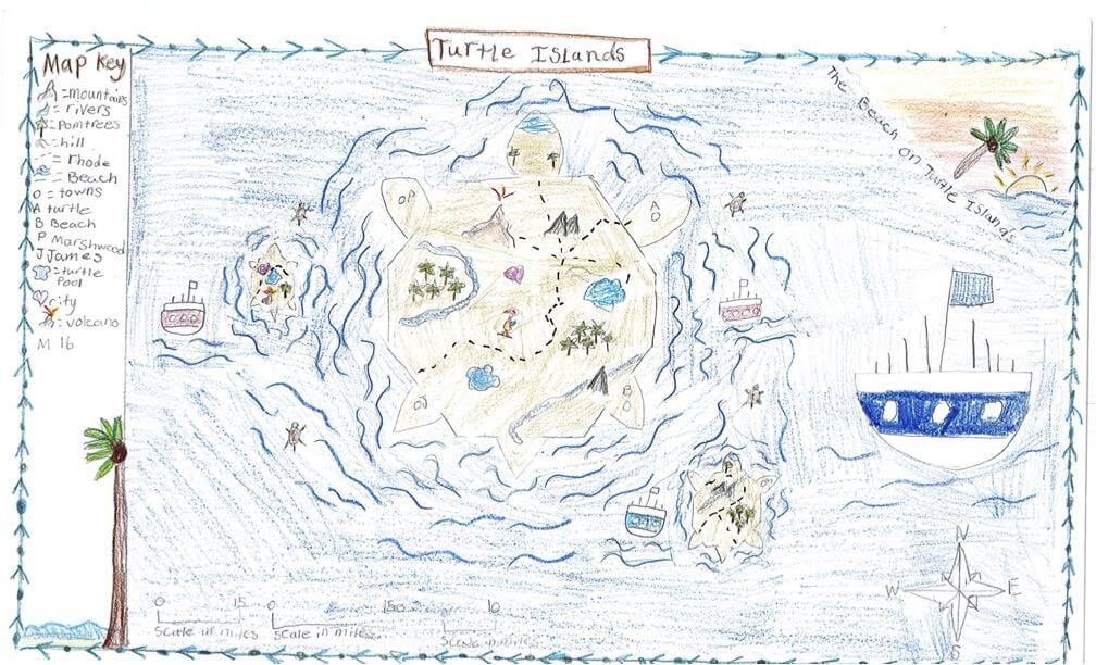
Payton J. of South Berwick
Marshwood Great Works School – 4th Grade.
See larger at https://oshermaps.org/wp-content/uploads/2025/05/25.244.jpg
Iris Island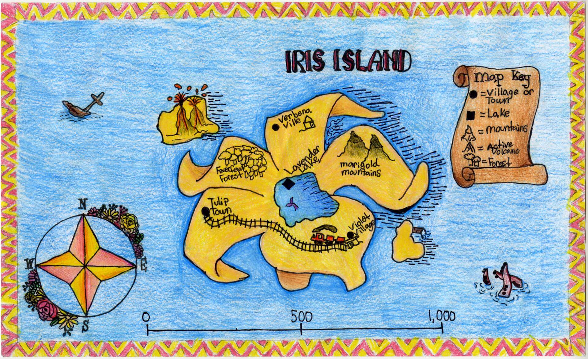
Payton N. of Brunswick
Brunswick Jr. High – 6th Grade.
See larger at https://oshermaps.org/wp-content/uploads/2025/05/25.154.jpg
Fighting Dragon Islands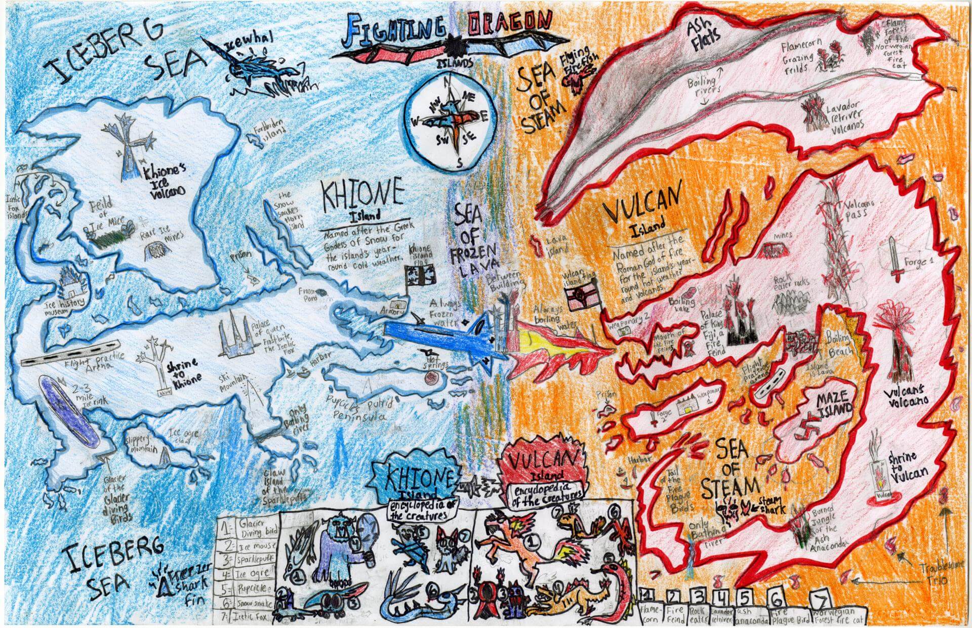
Pearl B. of Brunswick
Harriet Beecher Stowe Elem – 5th Grade.
See larger at https://oshermaps.org/wp-content/uploads/2025/05/25.009.jpg
Map of the Harbor Islands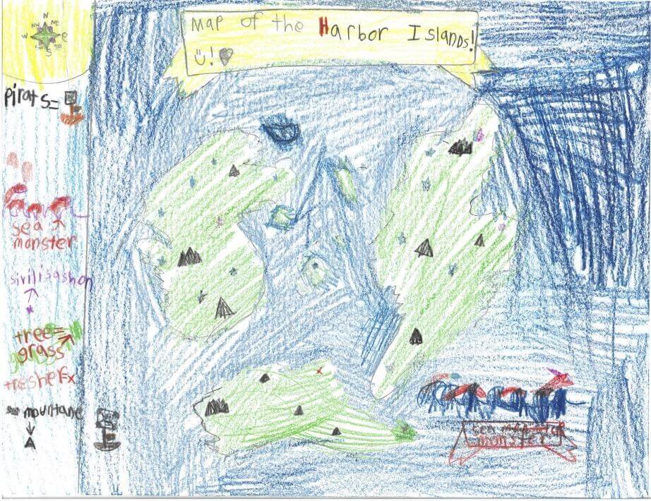
Pepper H. of Freeport
Maine Coast Waldorf School – 4th Grade.
See larger at https://oshermaps.org/wp-content/uploads/2025/05/25.312.jpg
Wolf Island
Pheobe W. of Gray
Fiddlehead – 5th Grade.
See larger at https://oshermaps.org/wp-content/uploads/2025/05/25.323.jpg
Nike Island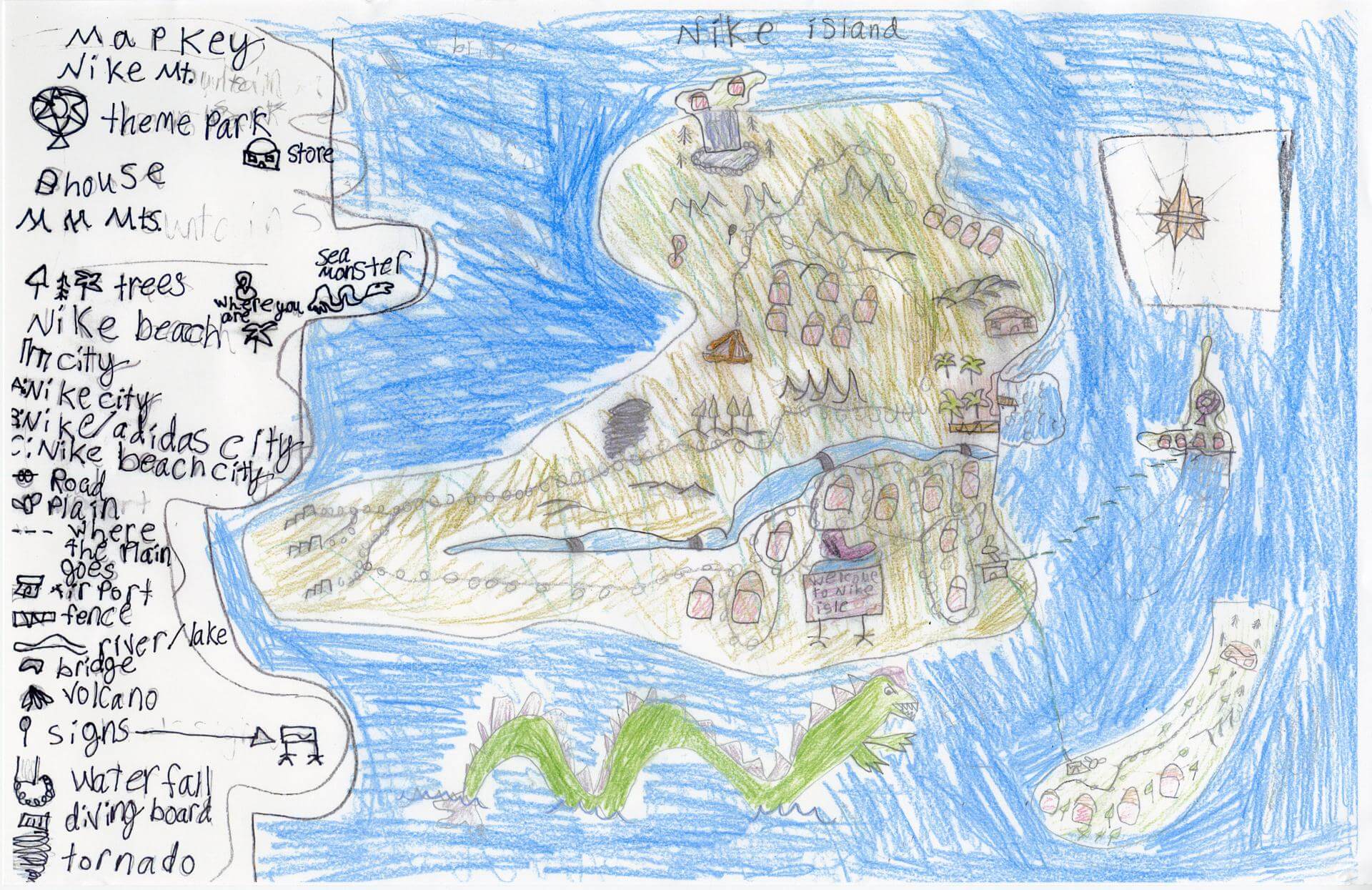
Phoebe R. of South Berwick
Marshwood Great Works School – 4th Grade.
See larger at https://oshermaps.org/wp-content/uploads/2025/05/25.340.jpg
Kogonshnethe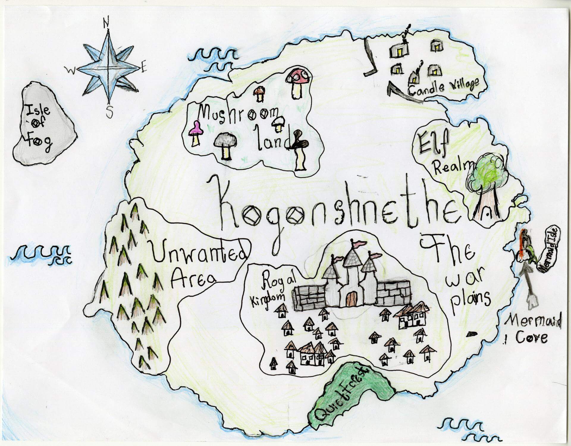
Piper P. of Brunswick
Harriet Beecher Stowe Elem – 4th Grade.
See larger at https://oshermaps.org/wp-content/uploads/2025/05/25.007.jpg
Turtle Island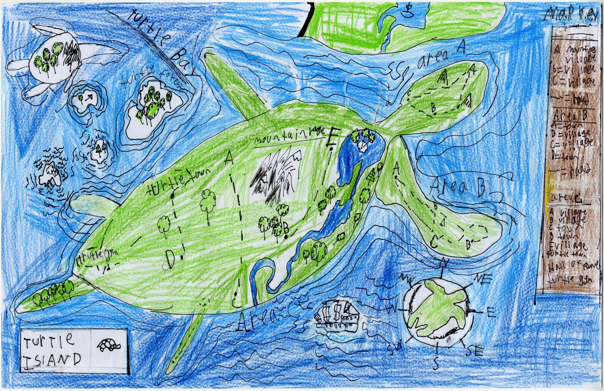
Preston C. of Brunswick
Brunswick Junior High School – 6th Grade.
See larger at https://oshermaps.org/wp-content/uploads/2025/05/25.173.jpg
Shoe Land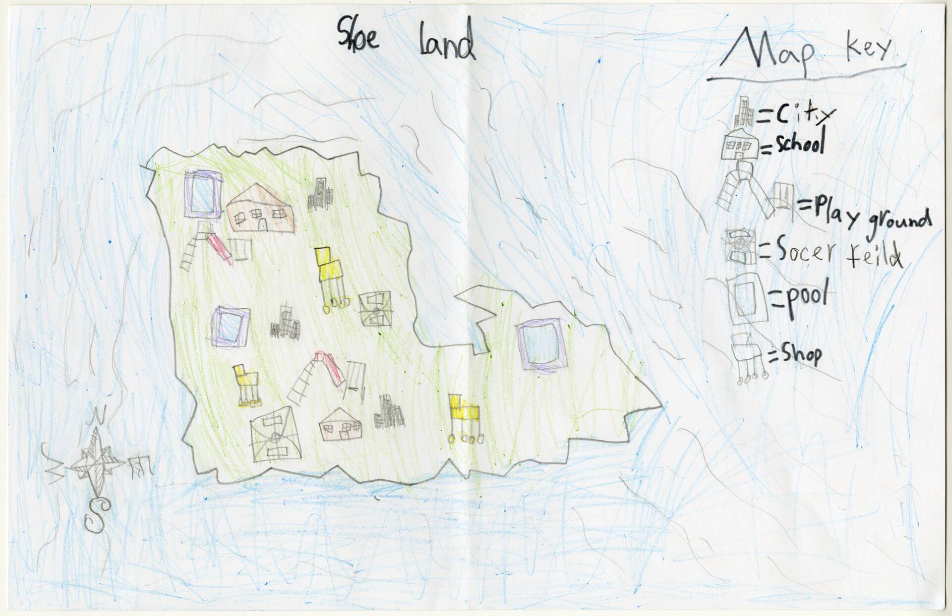
Rahil F. of Gorham
Narragansett Elementary – 4th Grade.
See larger at https://oshermaps.org/wp-content/uploads/2025/05/25.041.jpg
Moonlight Island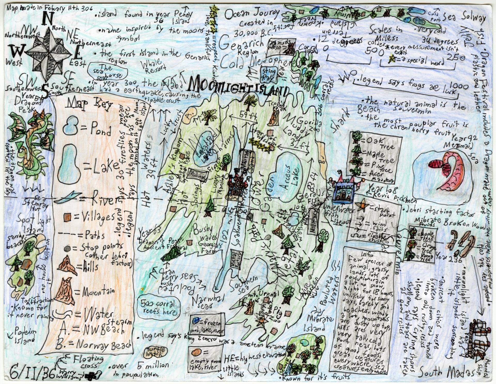
Raimundo M. of Gorham
Narragansett Elementary – 4th Grade.
See larger at https://oshermaps.org/wp-content/uploads/2025/05/25.121.jpg
Corona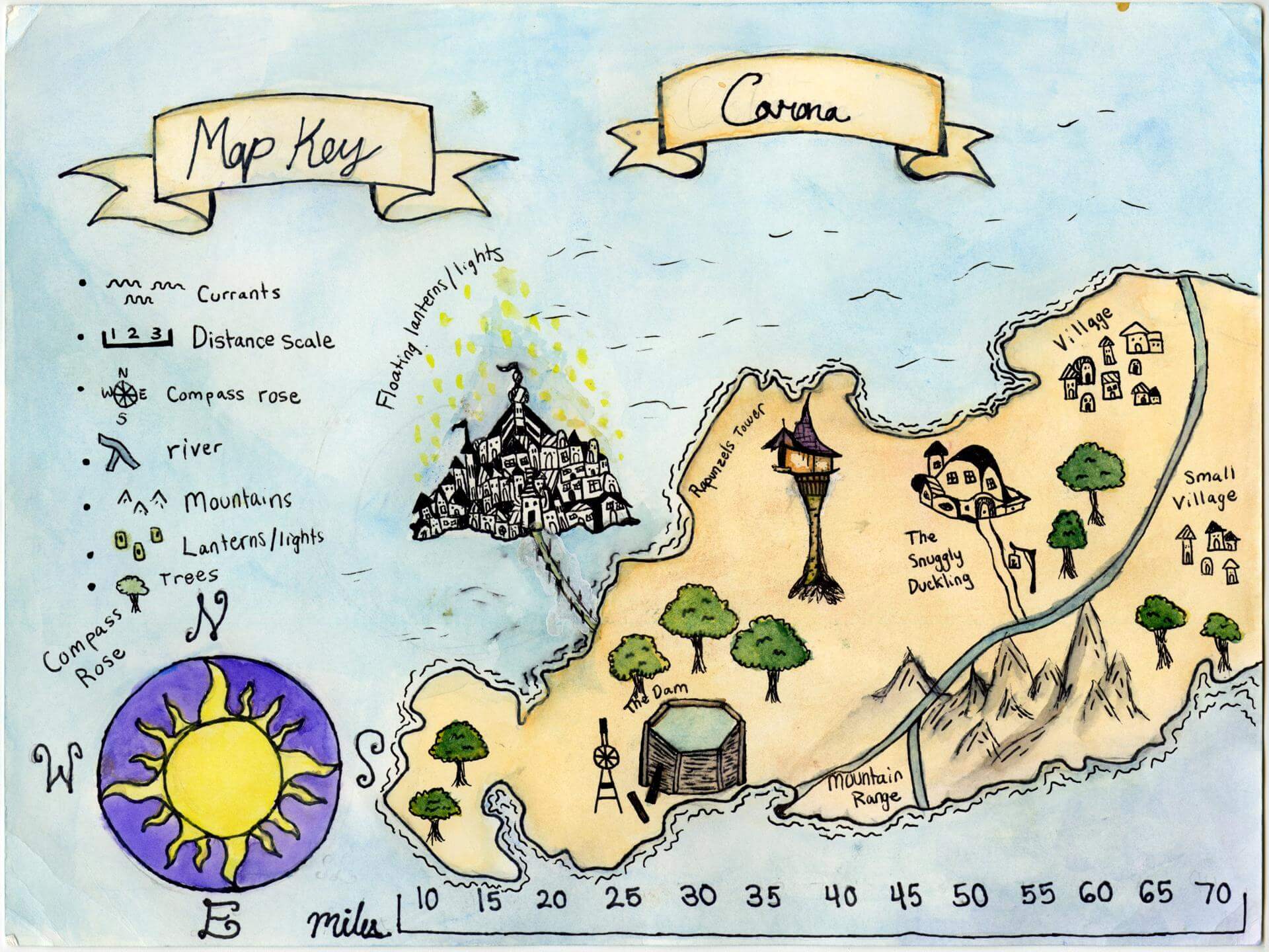
Raya F. of Brunswick
Brunswick Jr. High – 6th Grade.
See larger at https://oshermaps.org/wp-content/uploads/2025/05/25.107.jpg
Galaxy Map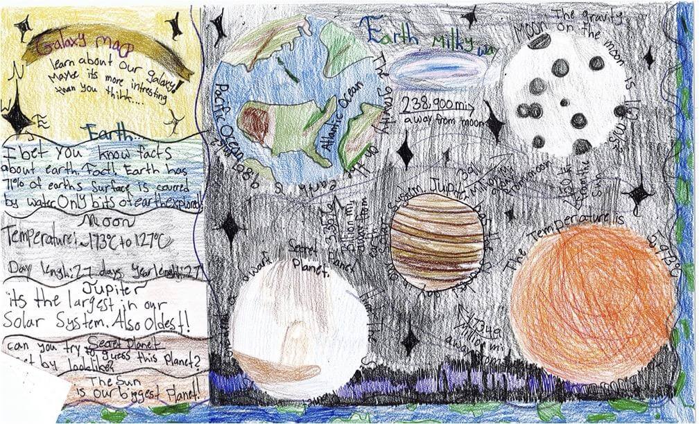
Reagan W. of South Berwick
Marshwood Great Works – 4th Grade.
See larger at https://oshermaps.org/wp-content/uploads/2025/05/25.252.jpg
Aquarici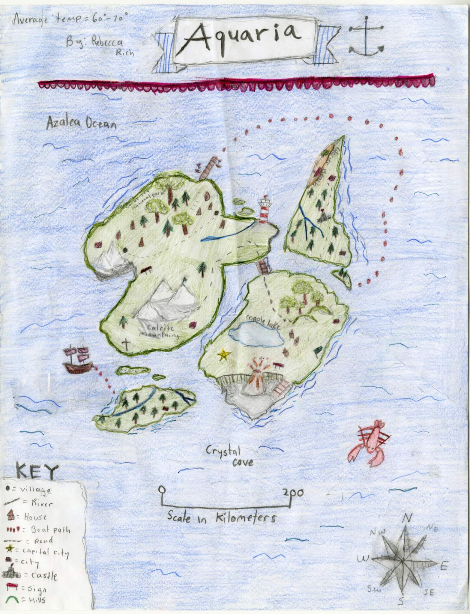
Rebecca R. of Brunswick
Brunswick Jr. High – 6th Grade.
See larger at https://oshermaps.org/wp-content/uploads/2025/05/25.130.jpg
The Lost Island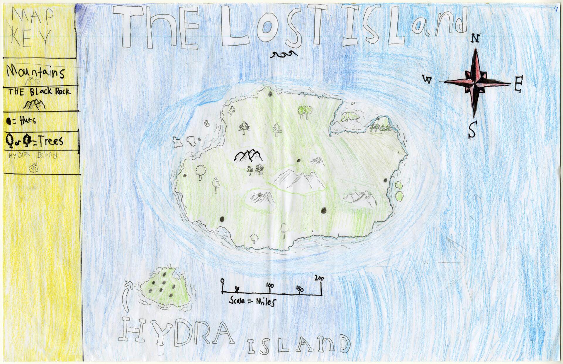
Reece C. of Brunswick
Brunswick Jr. High – 6th Grade.
See larger at https://oshermaps.org/wp-content/uploads/2025/05/25.072.jpg
Bunny Island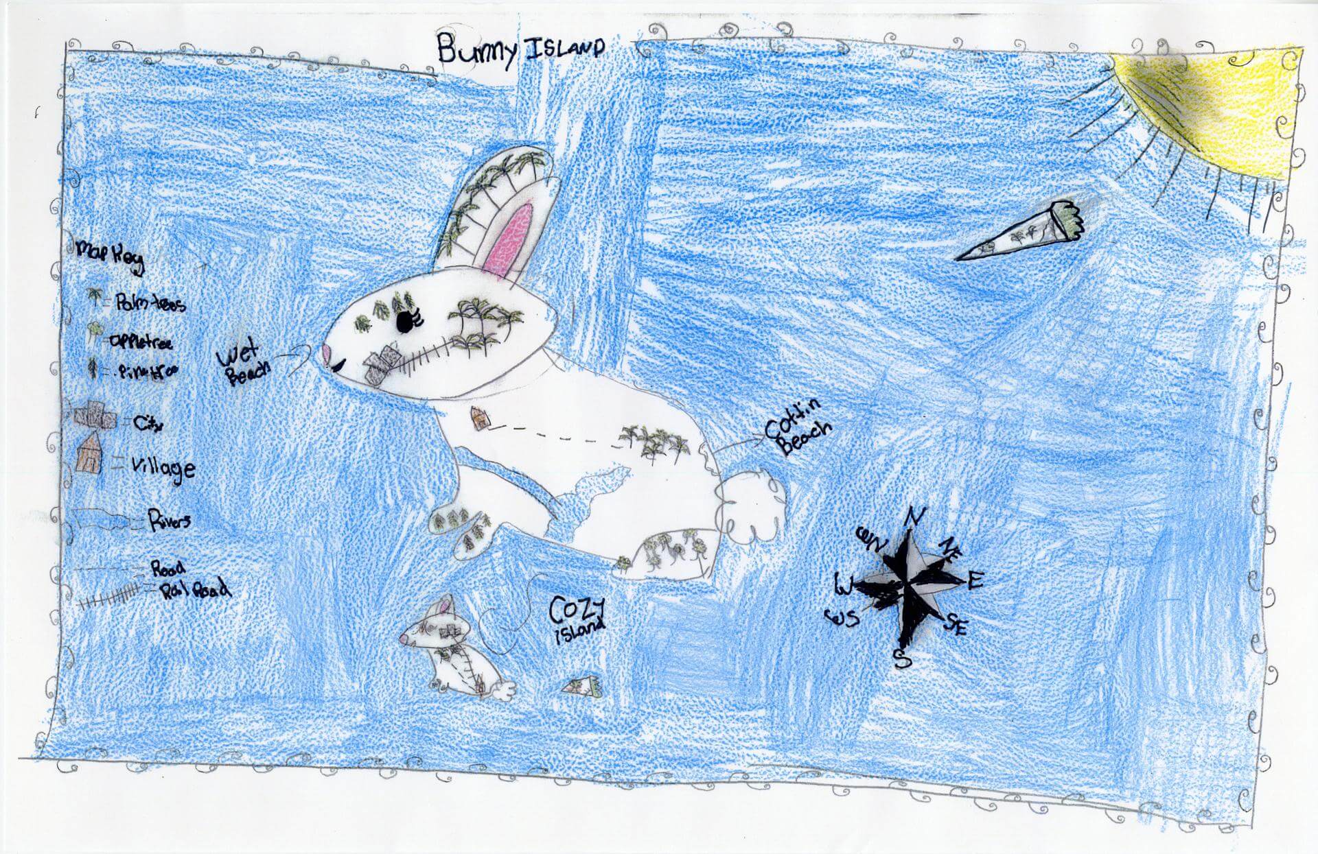
Riley T. of South Berwick
Marshwood Great Works School – 4th Grade.
See larger at https://oshermaps.org/wp-content/uploads/2025/05/25.337.jpg
Cragrid Island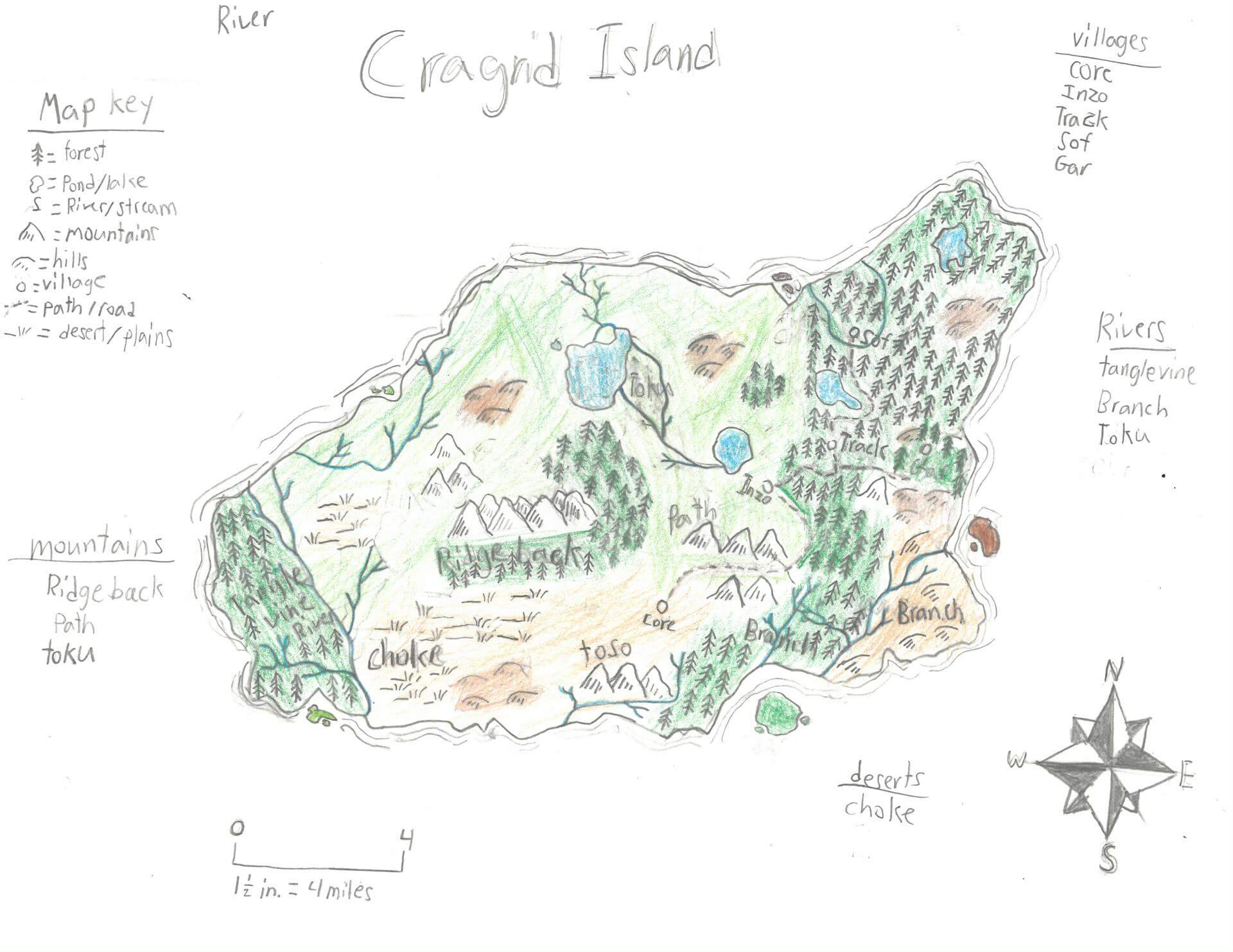
River S. of Newcastle
Great Salt Bay School – 5th Grade.
See larger at https://oshermaps.org/wp-content/uploads/2025/05/25.242.jpg
Dragon Island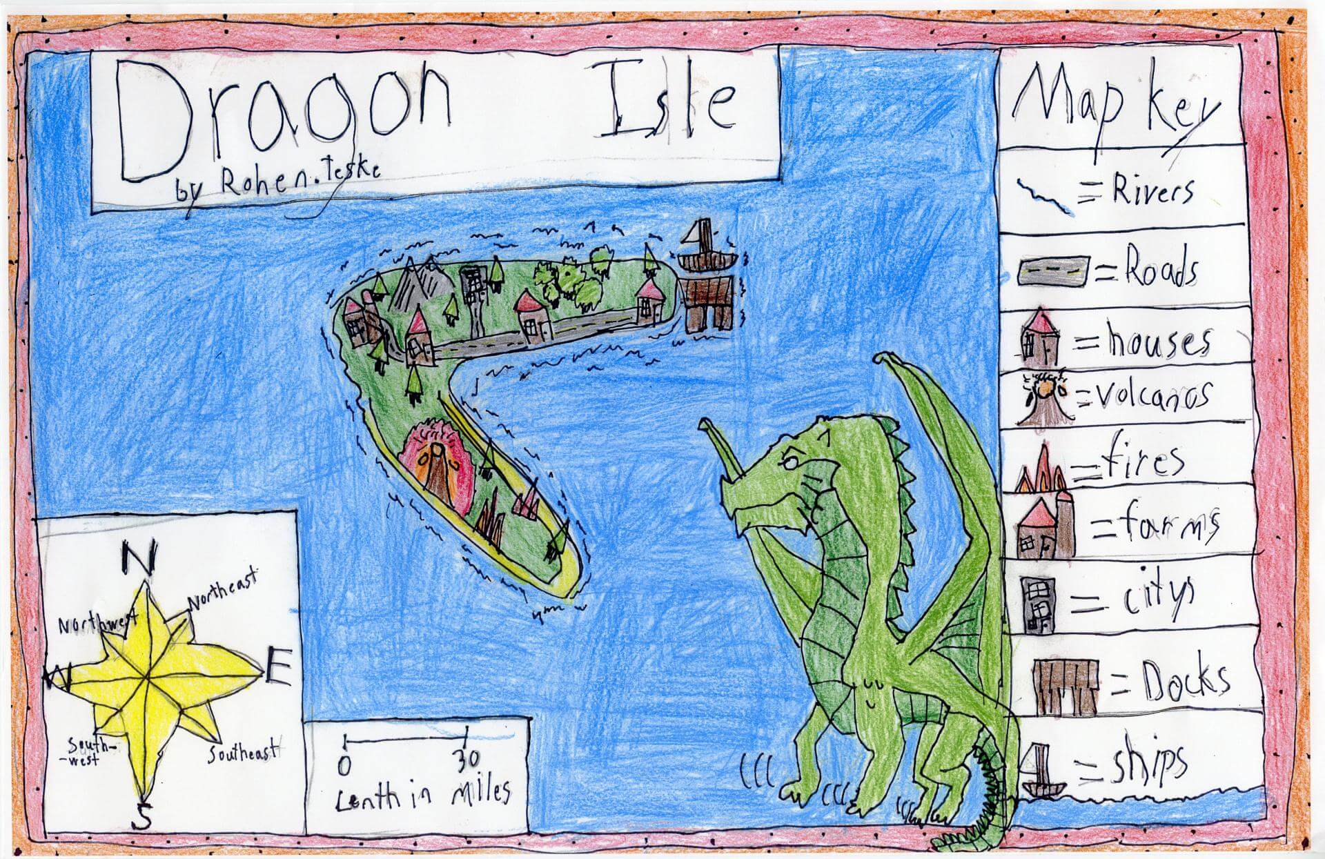
Rohen T. of South Berwick
Marshwood Great Works School – 4th Grade.
See larger at https://oshermaps.org/wp-content/uploads/2025/05/25.341.jpg
The Island of the Forgotten Ones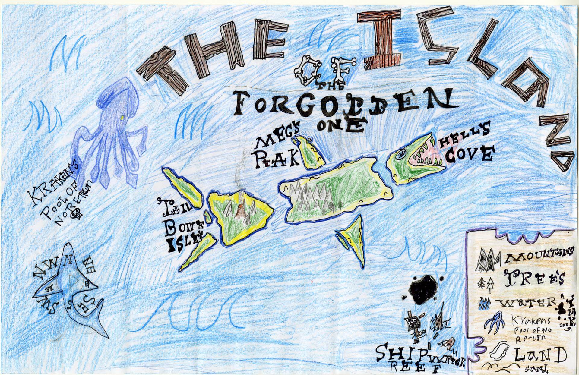
Ronin N. of Brunswick
Brunswick Junior High – 6th Grade.
See larger at https://oshermaps.org/wp-content/uploads/2025/05/25.166.jpg
Celestelia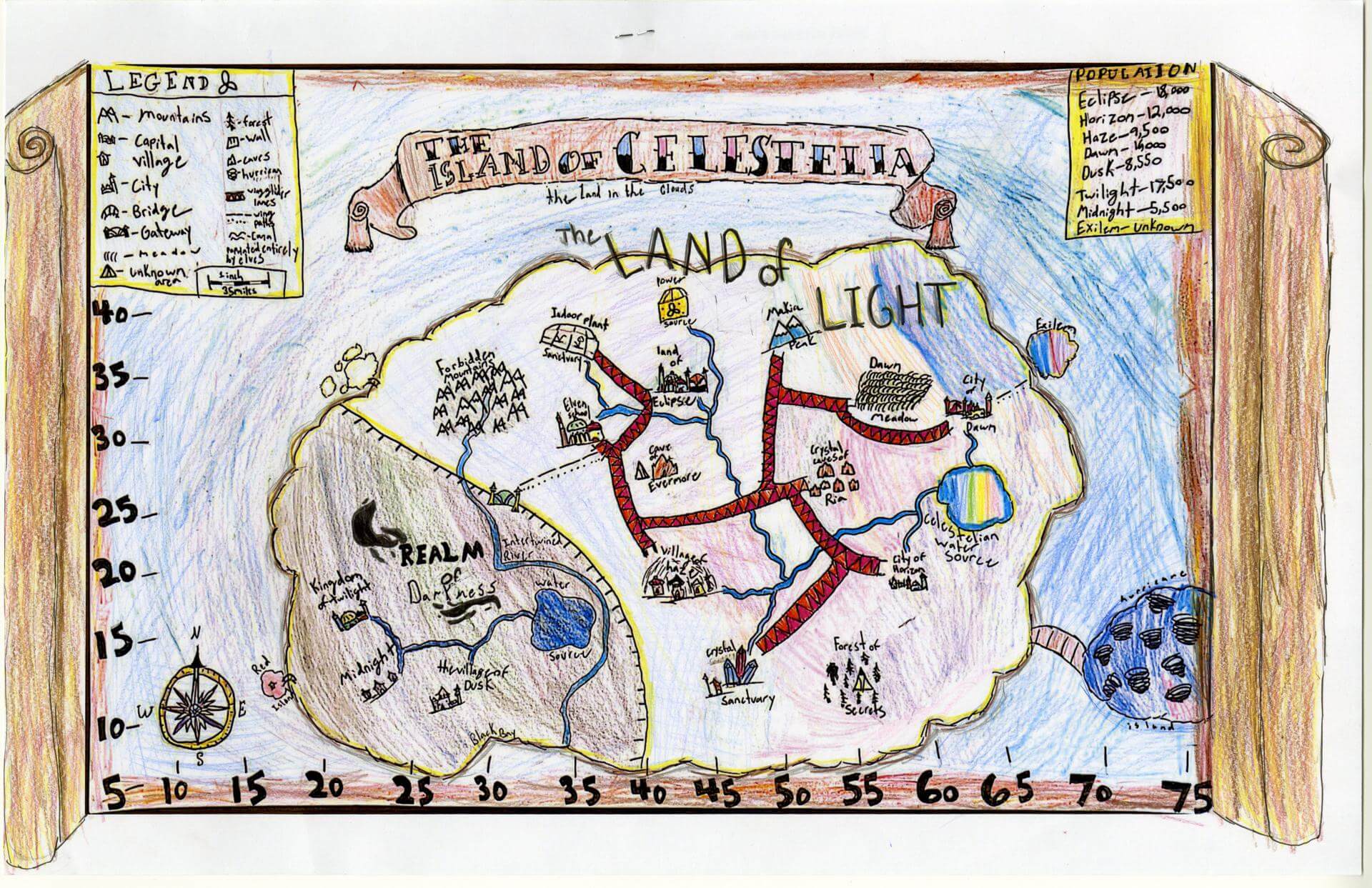
Roseline B. of Yarmouth
Yarmouth Elementary – 5th Grade.
See larger at https://oshermaps.org/wp-content/uploads/2025/05/25.060.jpg
Warrior Island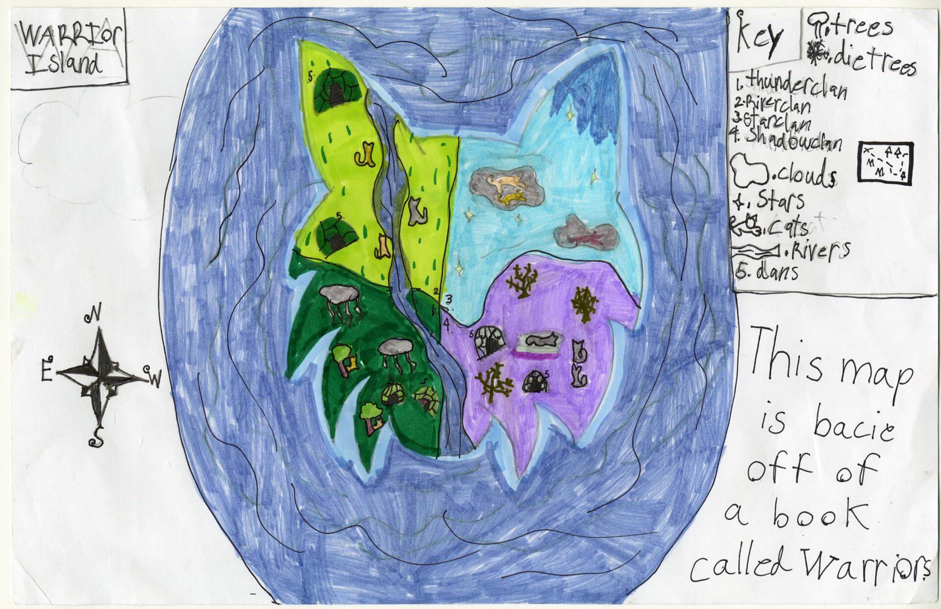
Roslyn A. of Gorham
Narragansett Elementary – 4th Grade.
See larger at https://oshermaps.org/wp-content/uploads/2025/05/25.033.jpg
Cloud Kingdom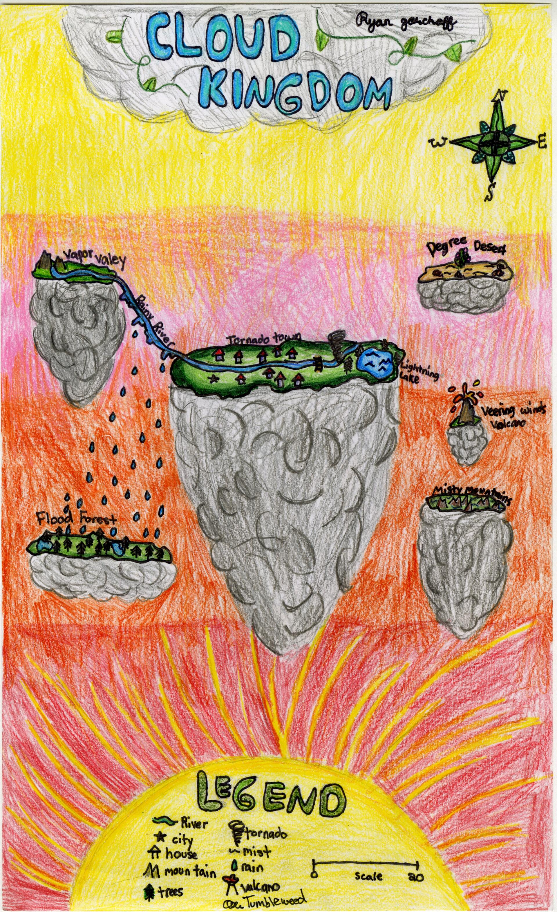
Ryan G. of Brunswick
Brunswick Jr. High – 6th Grade.
See larger at https://oshermaps.org/wp-content/uploads/2025/05/25.151.jpg
Sombrero Island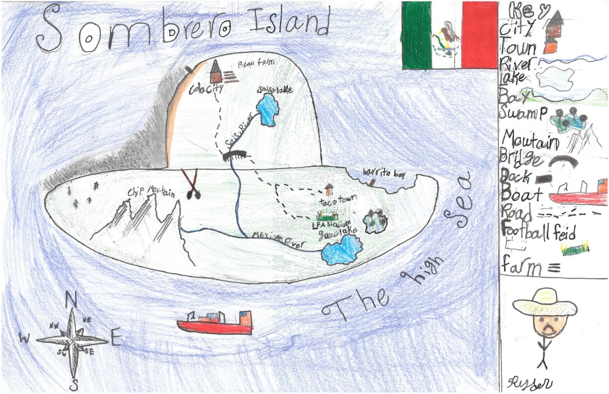
Ryder B. of York
York Middle School – 6th Grade.
See larger at https://oshermaps.org/wp-content/uploads/2025/05/25.288.jpg
Taylor Swift Island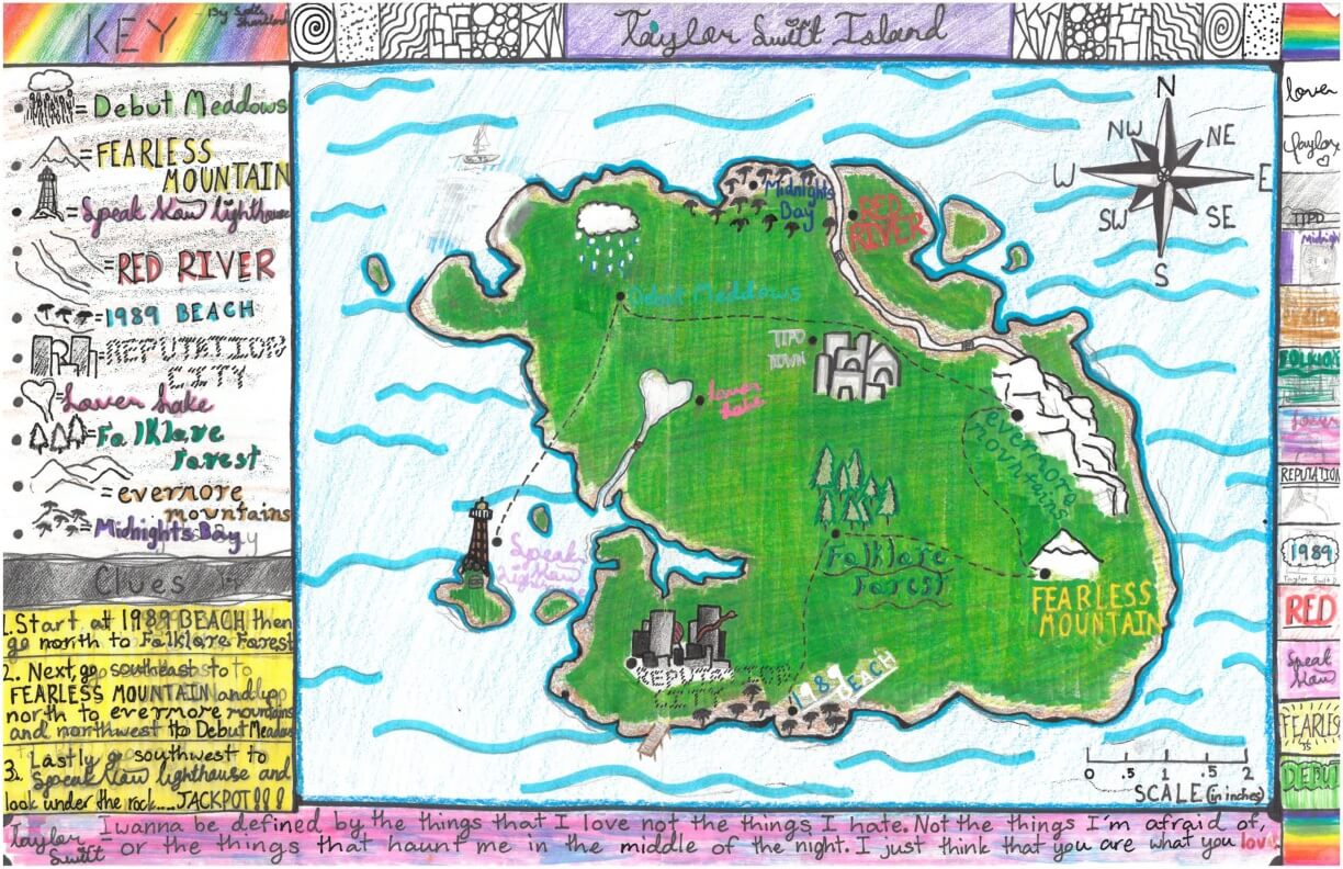
Sadie S. of York
York Middle School – 6th Grade.
See larger at https://oshermaps.org/wp-content/uploads/2025/05/25.269.jpg
Cony Island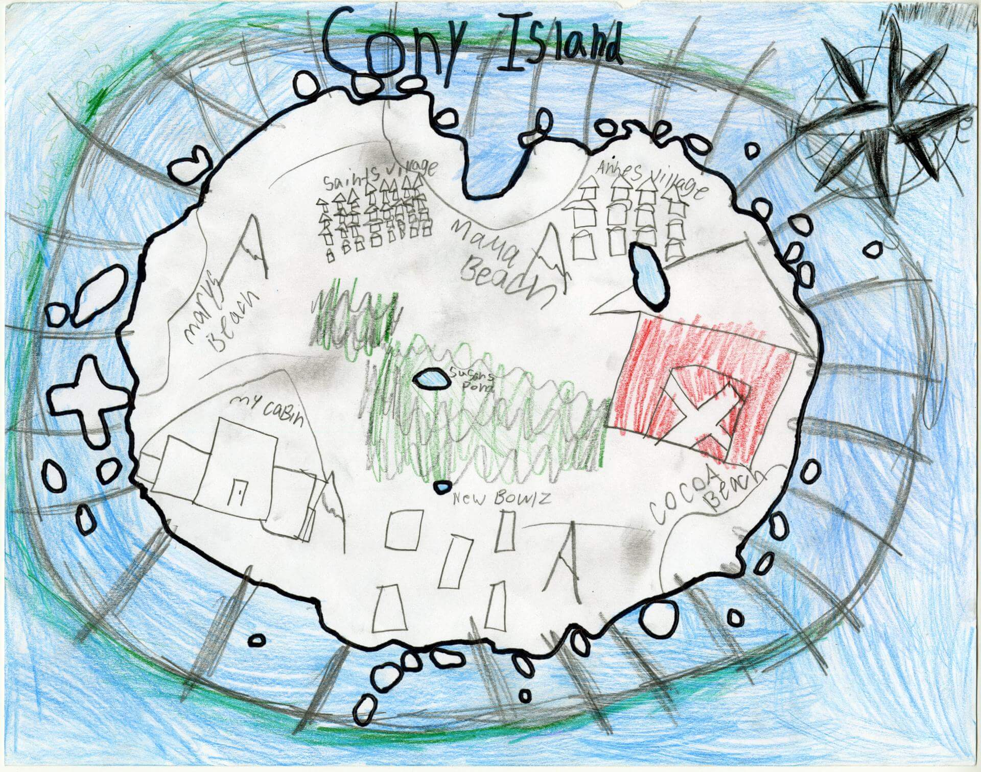
Sage G. of Oxford
Oxford Elementary – 5th Grade.
See larger at https://oshermaps.org/wp-content/uploads/2025/05/25.231.jpg
The Triangle Alleyway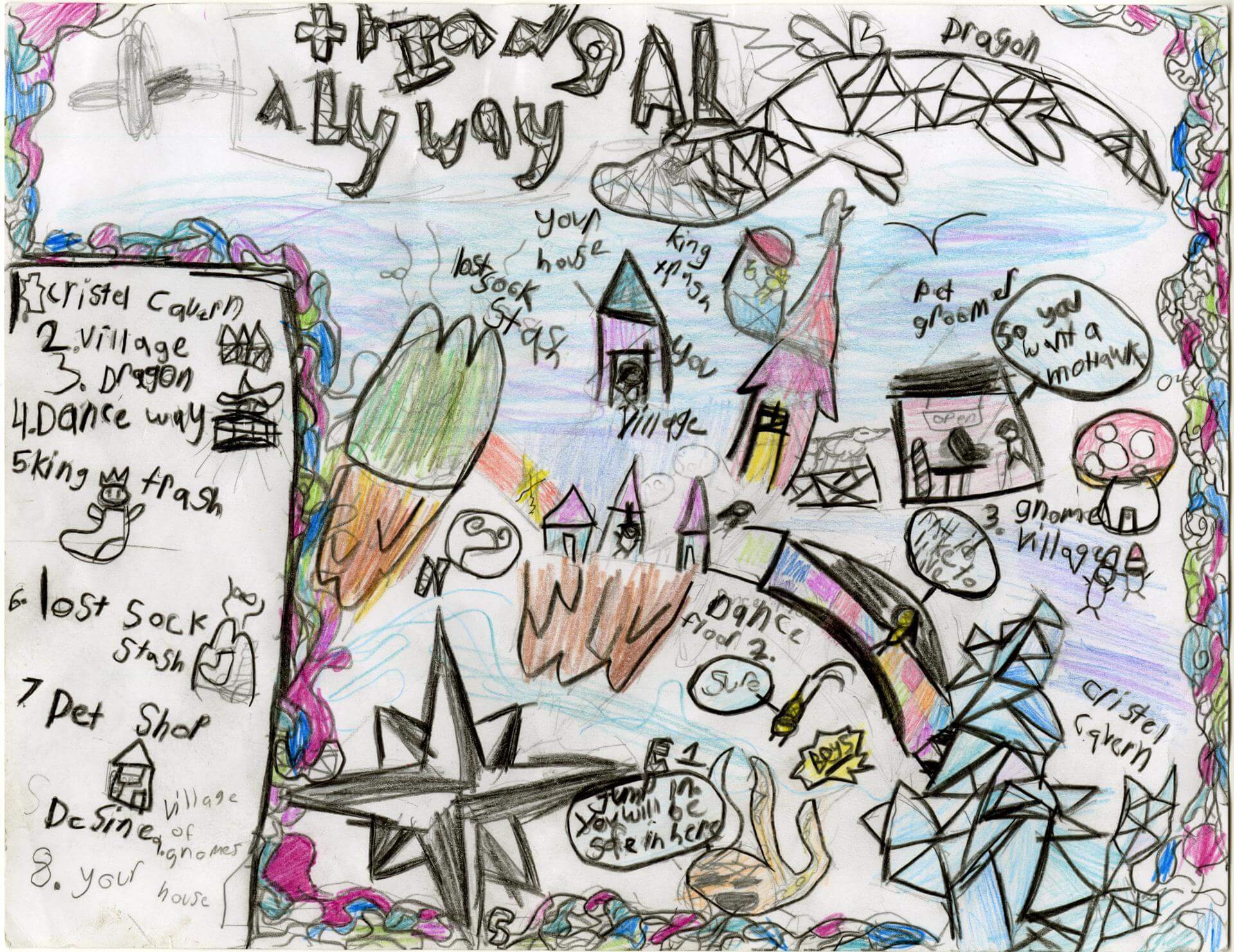
Sage L. of Durham
Harriet Beecher Stowe Elem – 4th Grade.
See larger at https://oshermaps.org/wp-content/uploads/2025/05/25.015.jpg
Love Island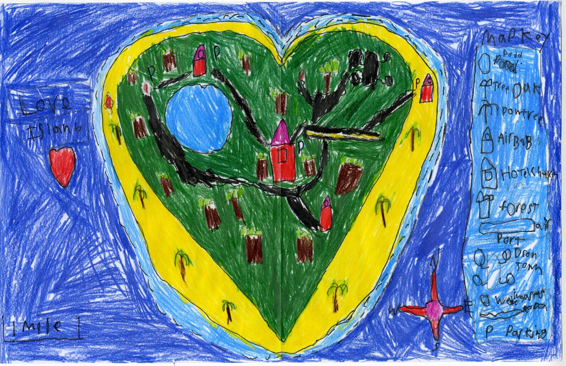
Sam M. of Brunswick
Brunswick Jr. High – 6th Grade.
See larger at https://oshermaps.org/wp-content/uploads/2025/05/25.068.jpg
Global Warming Territories 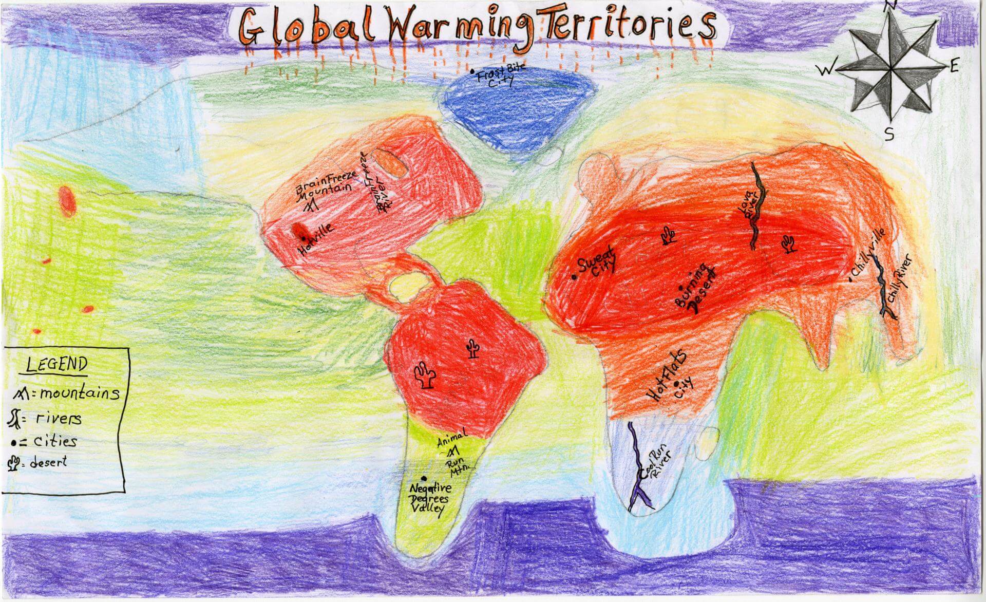
Samuel C. of Brunswick
Brunswick Junior High – 6th Grade.
See larger at https://oshermaps.org/wp-content/uploads/2025/05/25.158.jpg
Untitled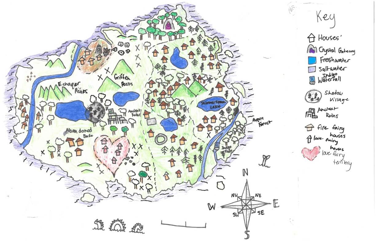
Sarah K. of York
York Middle School – 6th Grade.
See larger at https://oshermaps.org/wp-content/uploads/2025/05/25.290.jpg
Lion Island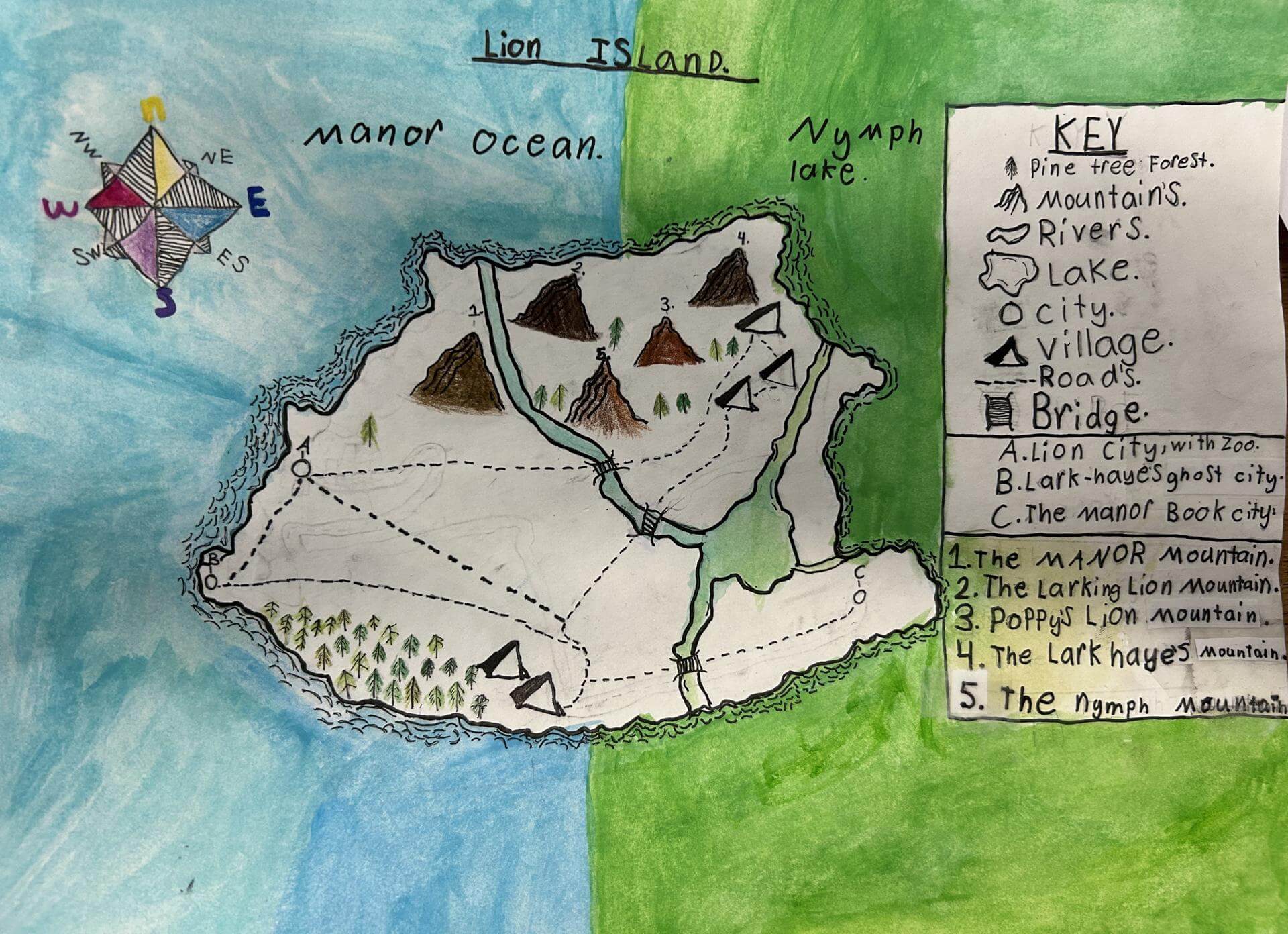
Sarah M. of South Berwick
Marshwood Great Works School – 5th Grade.
See larger at https://oshermaps.org/wp-content/uploads/2025/05/25.329.jpg
Wicked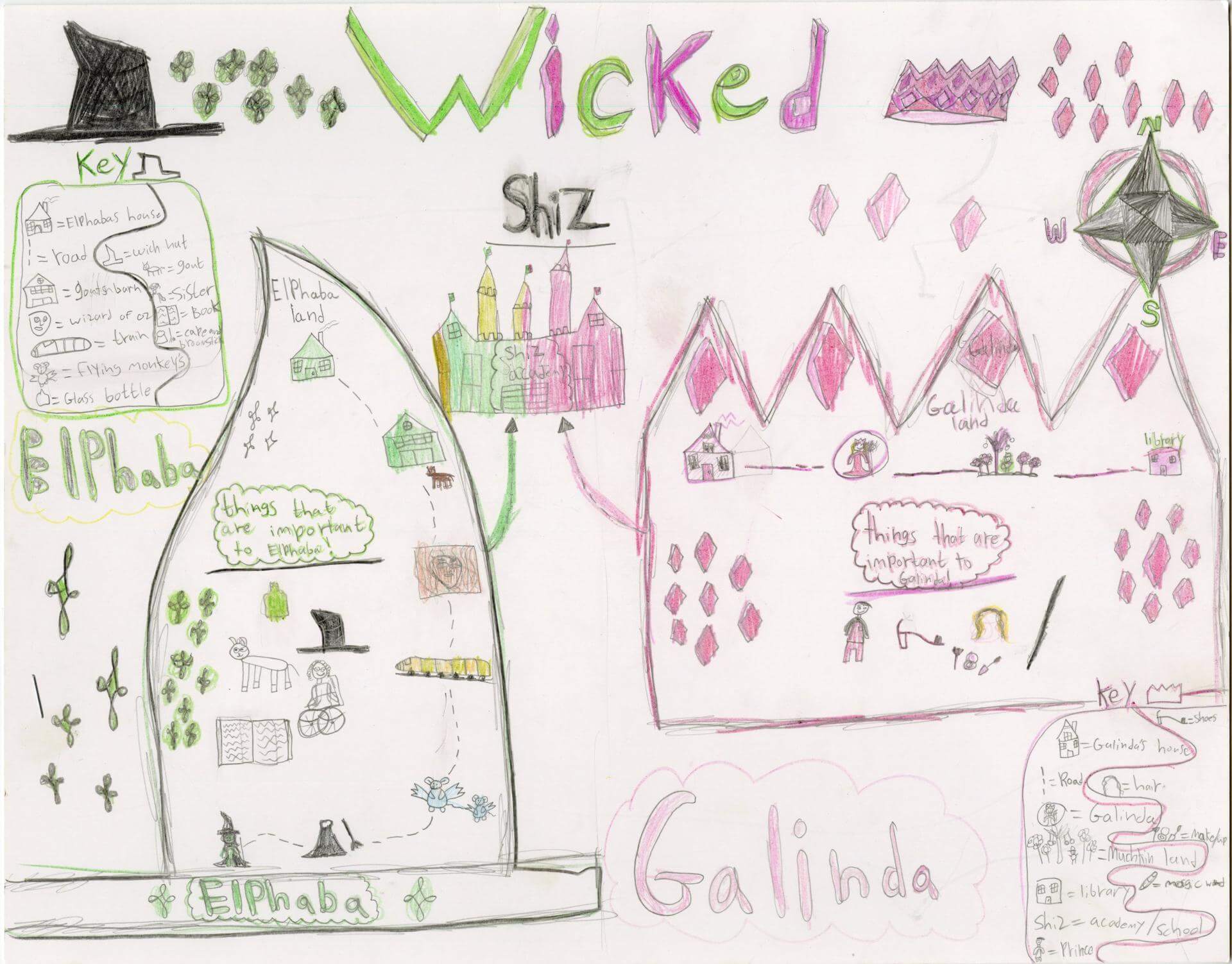
Scarlett B. of Brunswick
Harriet Beecher Stowe Elem – 5th Grade.
See larger at https://oshermaps.org/wp-content/uploads/2025/05/25.029.jpg
Fruit Fly Island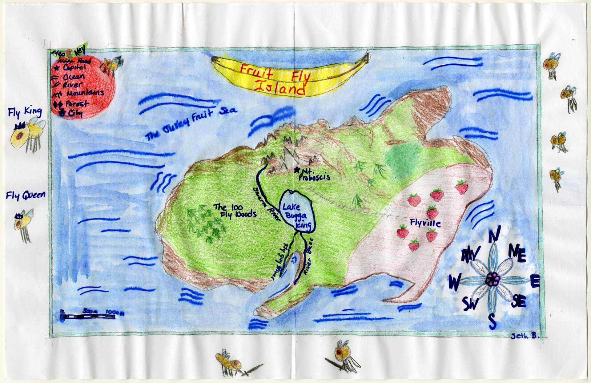
Seth B. of Brunswick
Brunswick Junior High – 6th Grade.
See larger at https://oshermaps.org/wp-content/uploads/2025/05/25.174.jpg
Shadow Island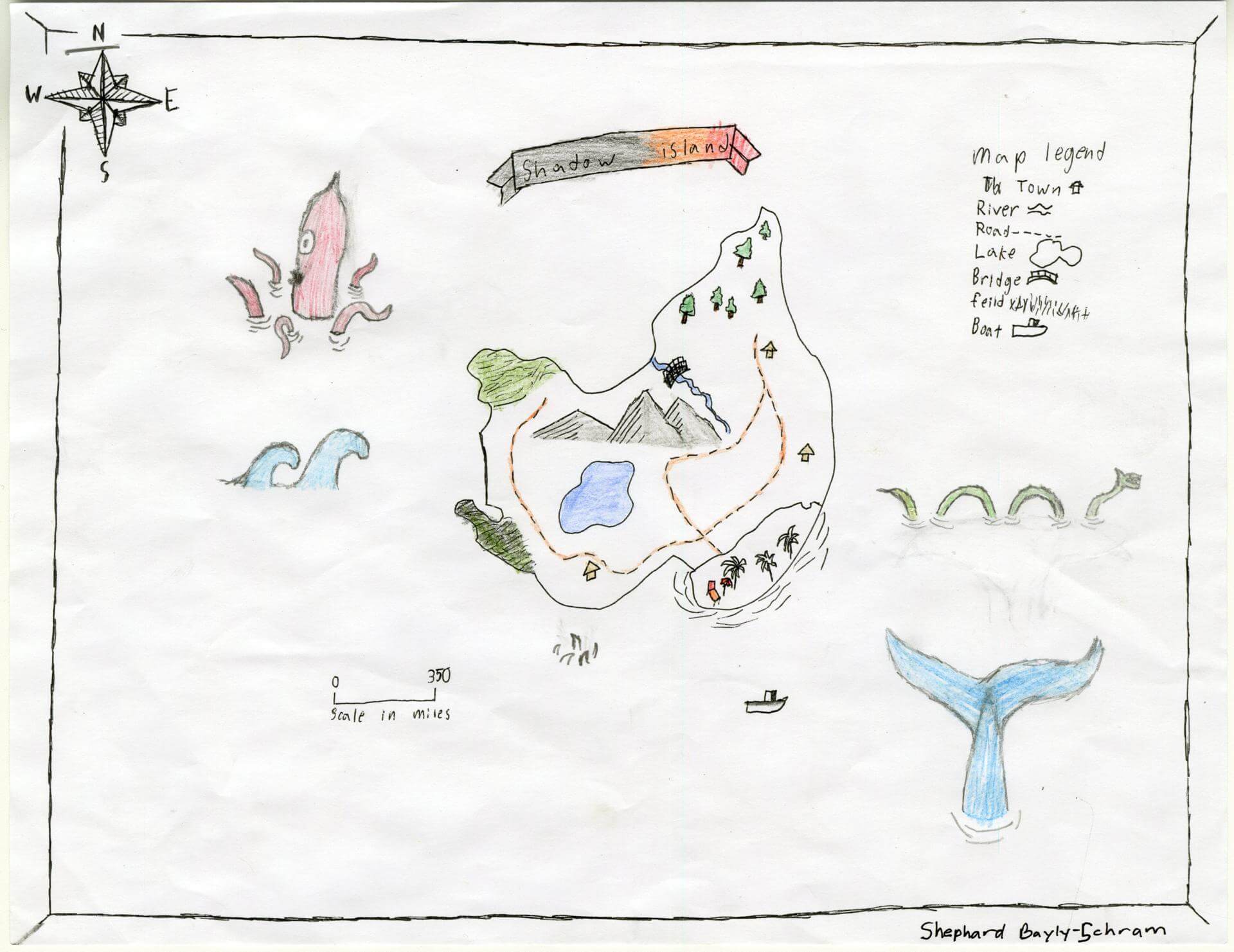
Shephard B. of Gorham
Great Falls Elementary School – 4th Grade.
See larger at https://oshermaps.org/wp-content/uploads/2025/05/25.193.jpg
Four Season Islands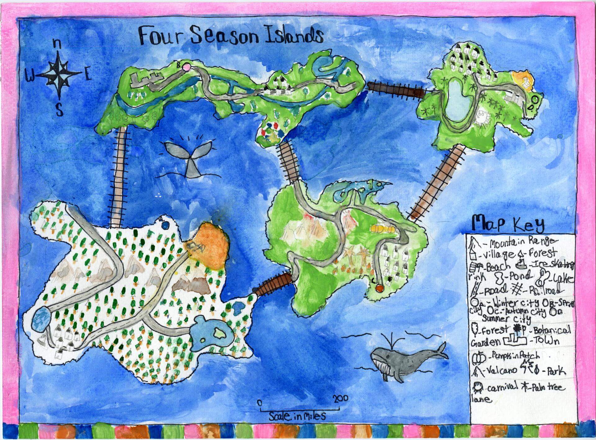
Sloane K. of Brunswick
Brunswick Jr. High – 6th Grade.
See larger at https://oshermaps.org/wp-content/uploads/2025/05/25.094.jpg
Fauna Island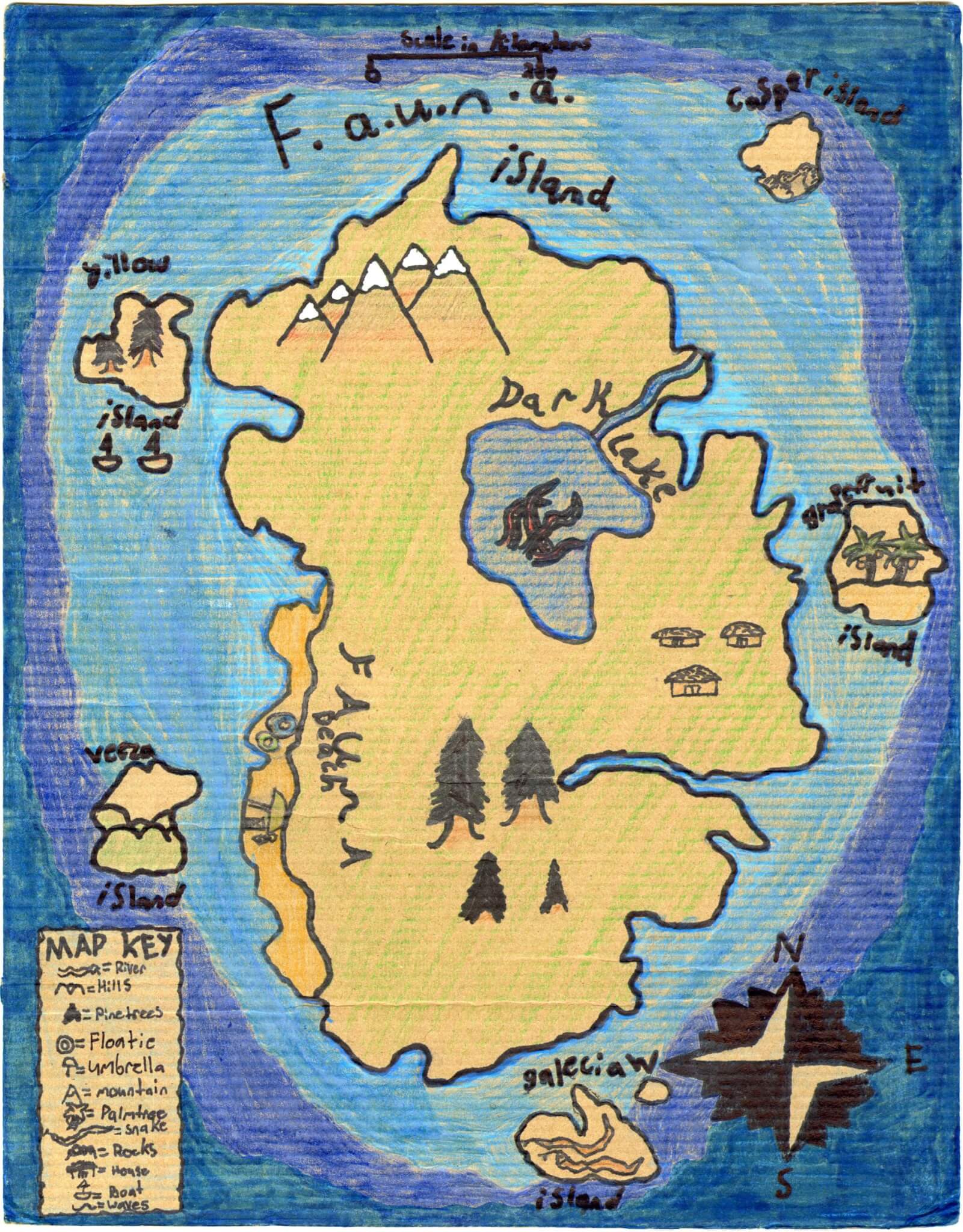
Solomon M. of Brunswick
Brunswick Jr. High – 6th Grade.
See larger at https://oshermaps.org/wp-content/uploads/2025/05/25.103.jpg
Bunny Food Island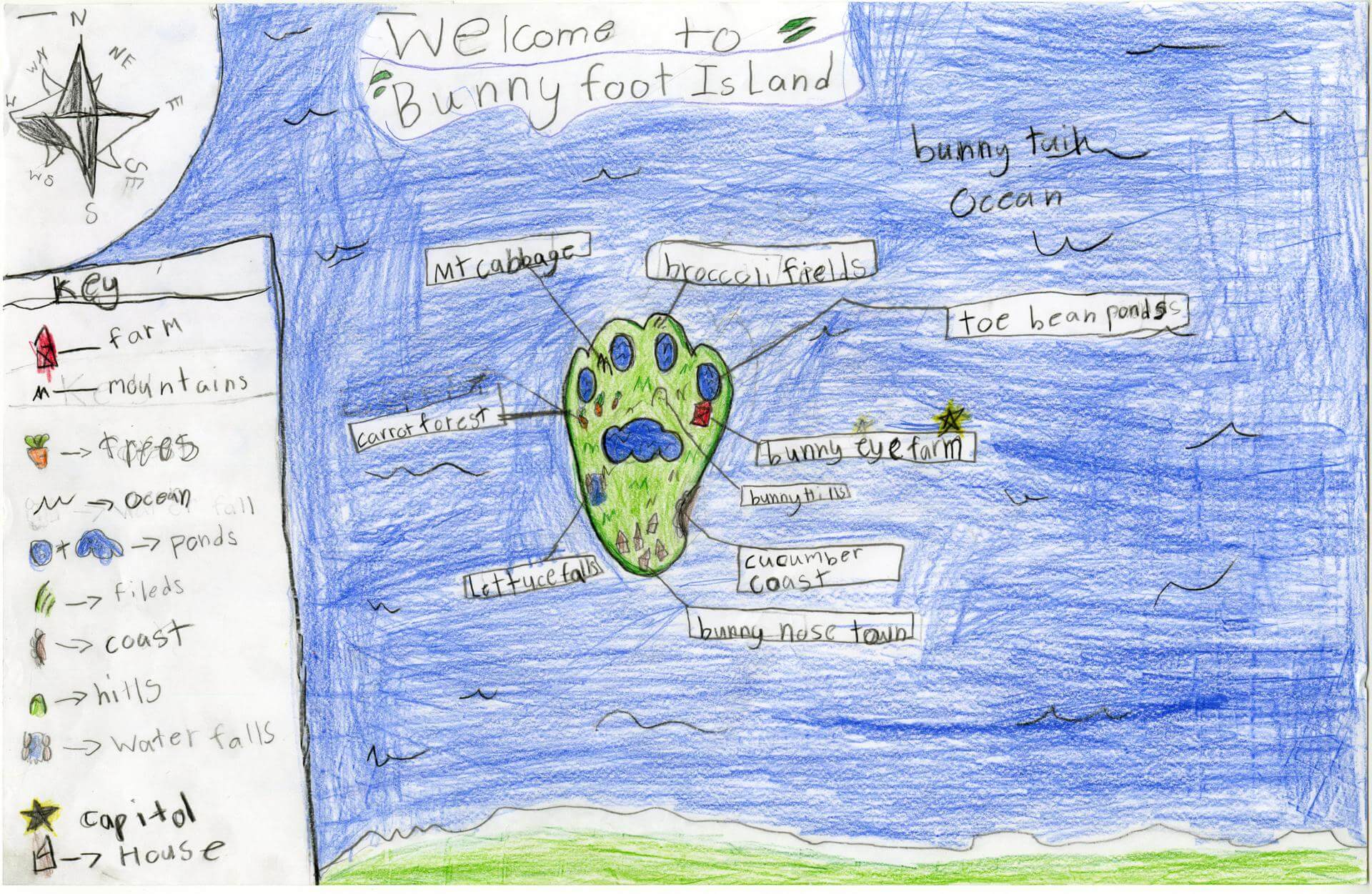
Sophia A. of Princeton
Indian Township – th Grade.
See larger at https://oshermaps.org/wp-content/uploads/2025/05/25.228.jpg
Map of Bulgaria
Sophia B. of York
York Middle School – 6th Grade.
See larger at https://oshermaps.org/wp-content/uploads/2025/05/25.273.jpg
Fairyland Island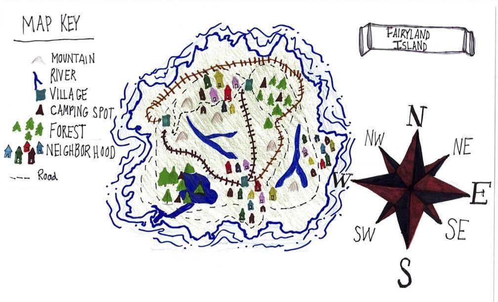
Sophia D. of South Berwick
Marshwood Great Works – 4th Grade.
See larger at https://oshermaps.org/wp-content/uploads/2025/05/25.255.jpg
My Cheer Gym
Sophie Y. of South Berwick
Marshwood Great Works – 4th Grade.
See larger at https://oshermaps.org/wp-content/uploads/2025/05/25.253.jpg
Jelly Fish Isle 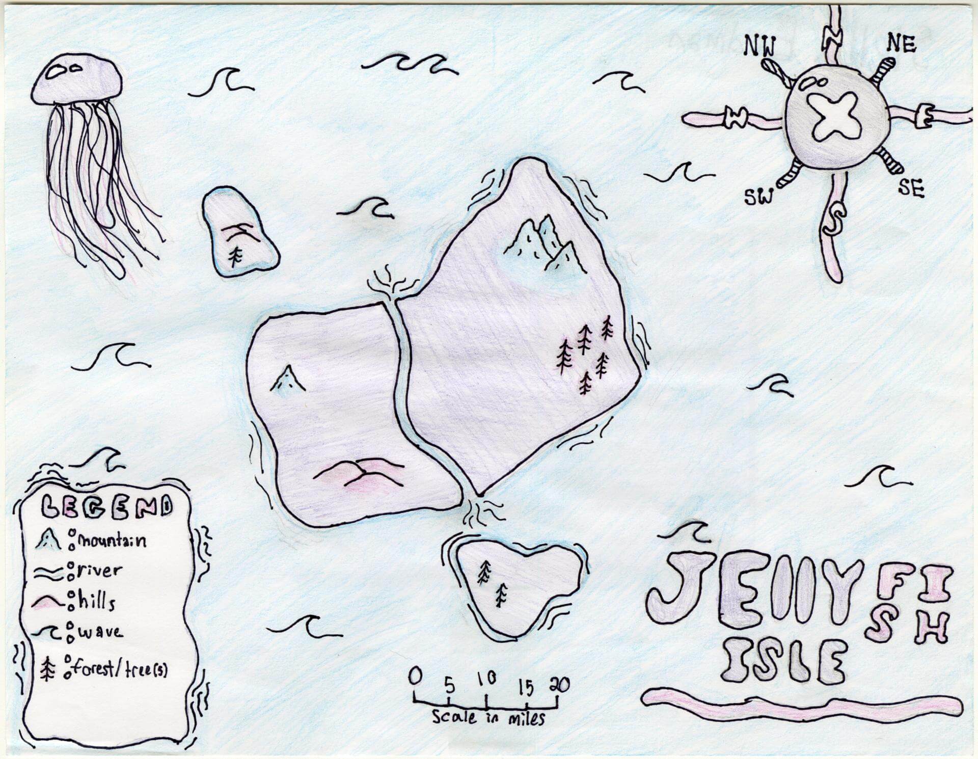
Stella E. of Brunswick
Brunswick Jr. High – 6th Grade.
See larger at https://oshermaps.org/wp-content/uploads/2025/05/25.149.jpg
Lobster Maine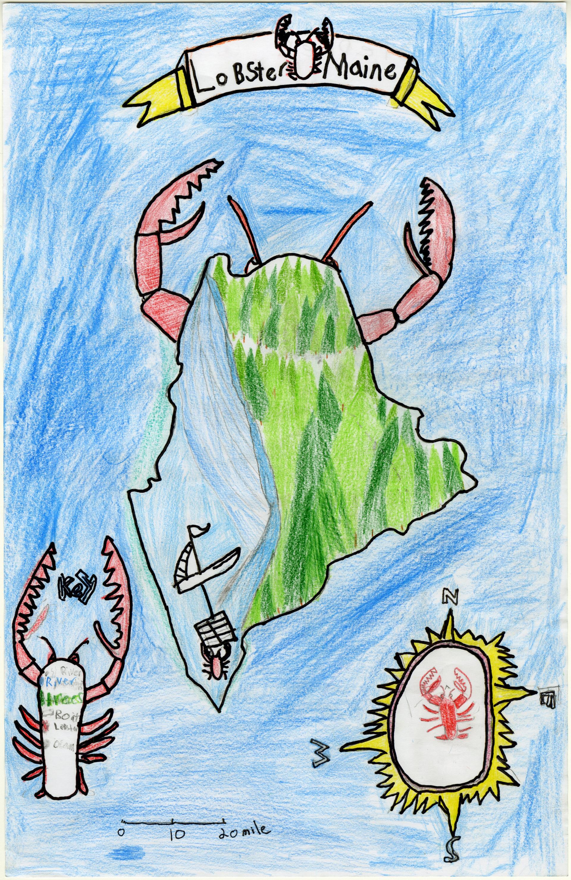
Stephen B. of Brunswick
Brunswick Junior High – 6th Grade.
See larger at https://oshermaps.org/wp-content/uploads/2025/05/25.161.jpg
Delfino Shores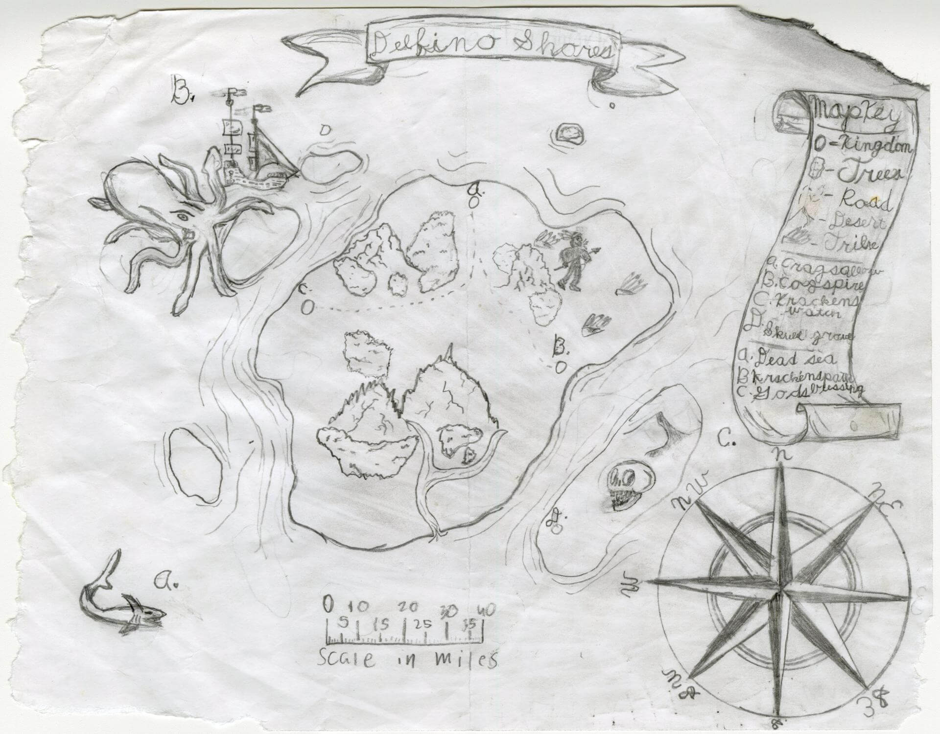
Steven S. of Brunswick
Brunswick Jr. High – 6th Grade.
See larger at https://oshermaps.org/wp-content/uploads/2025/05/25.109.jpg
Panem Island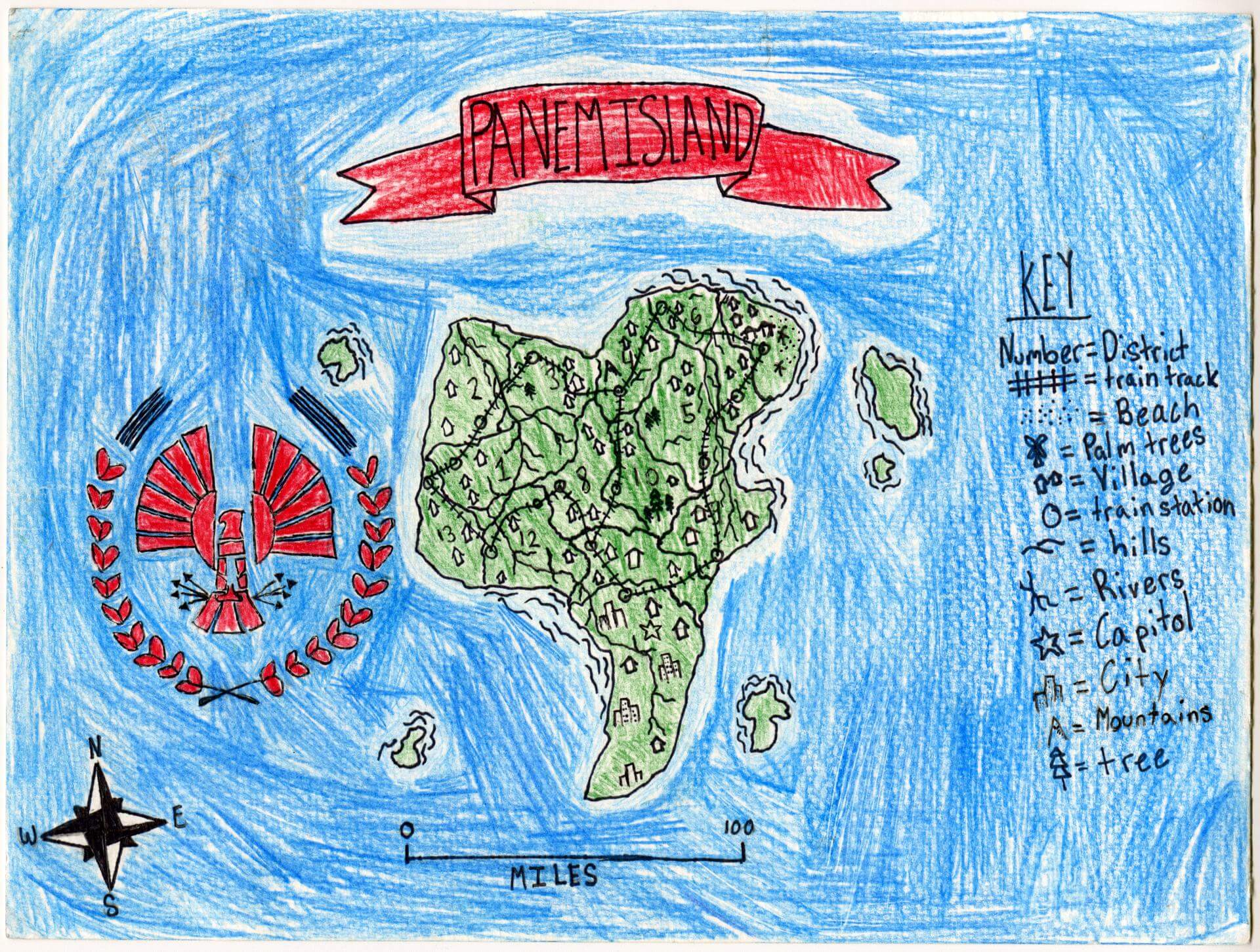
Sybil H. of Brunswick
Brunswick Jr. High – 6th Grade.
See larger at https://oshermaps.org/wp-content/uploads/2025/05/25.083.jpg
The Brain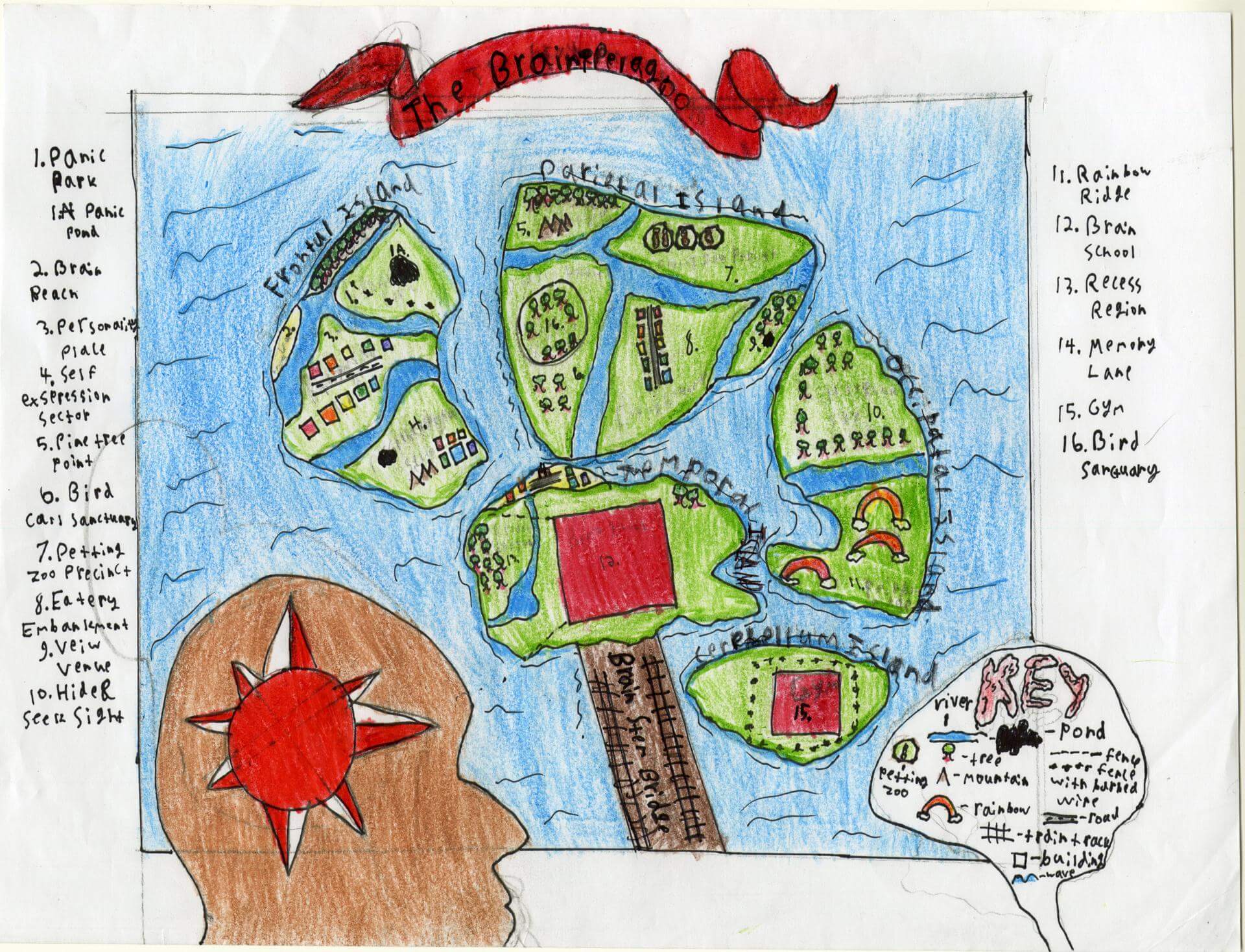
Sylvia M. of Brunswick
Brunswick Jr. High – 6th Grade.
See larger at https://oshermaps.org/wp-content/uploads/2025/05/25.134.jpg
Tsunami Island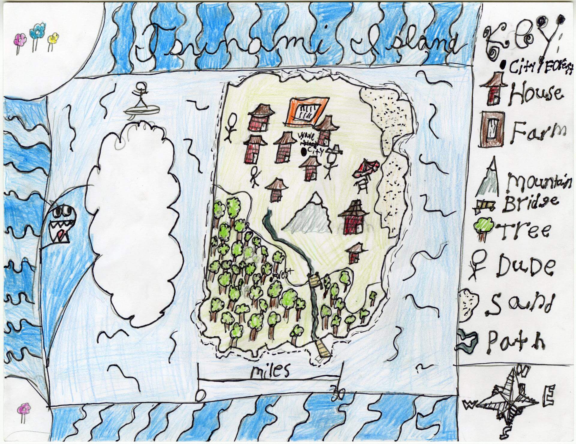
Tanner S. of Old Town
Old Town Elementary School – 4th Grade.
See larger at https://oshermaps.org/wp-content/uploads/2025/05/25.207.jpg
Lemur Islands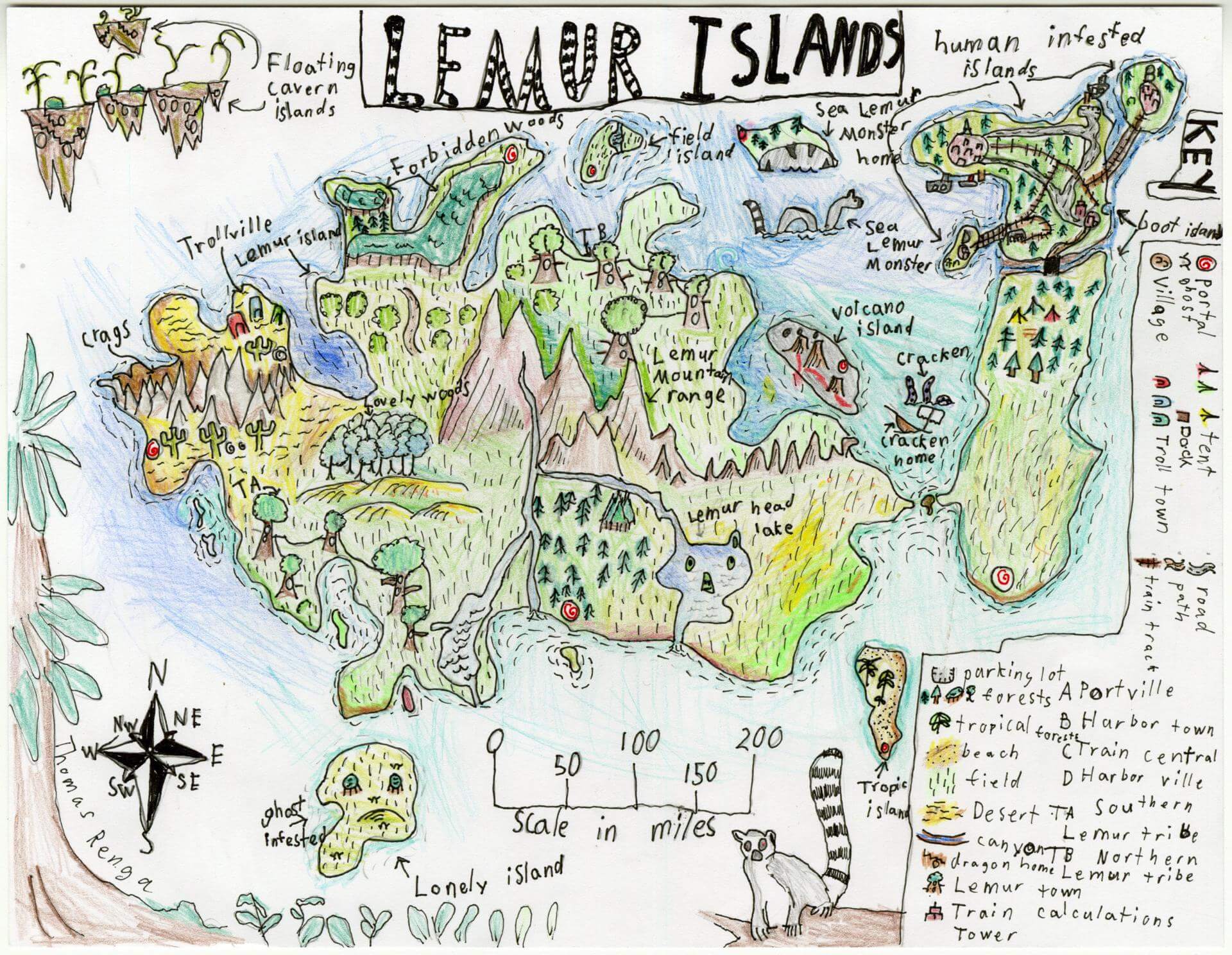
Thomas R. of Gorham
Narragansett Elementary – 4th Grade.
See larger at https://oshermaps.org/wp-content/uploads/2025/05/25.119.jpg
Thingy Islands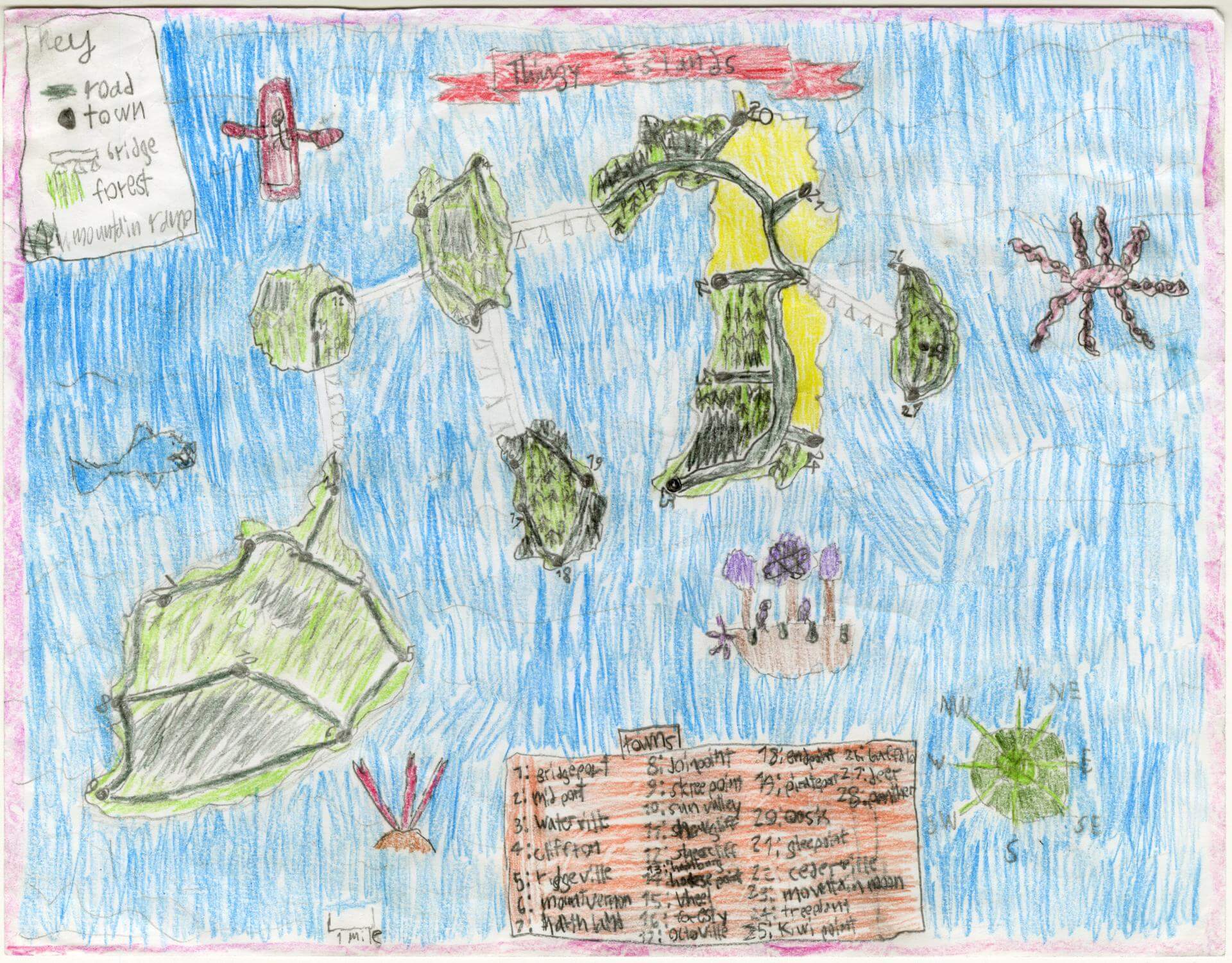
Tobin A. of Brunswick
Brunswick Jr. High – 6th Grade.
See larger at https://oshermaps.org/wp-content/uploads/2025/05/25.108.jpg
Travis Island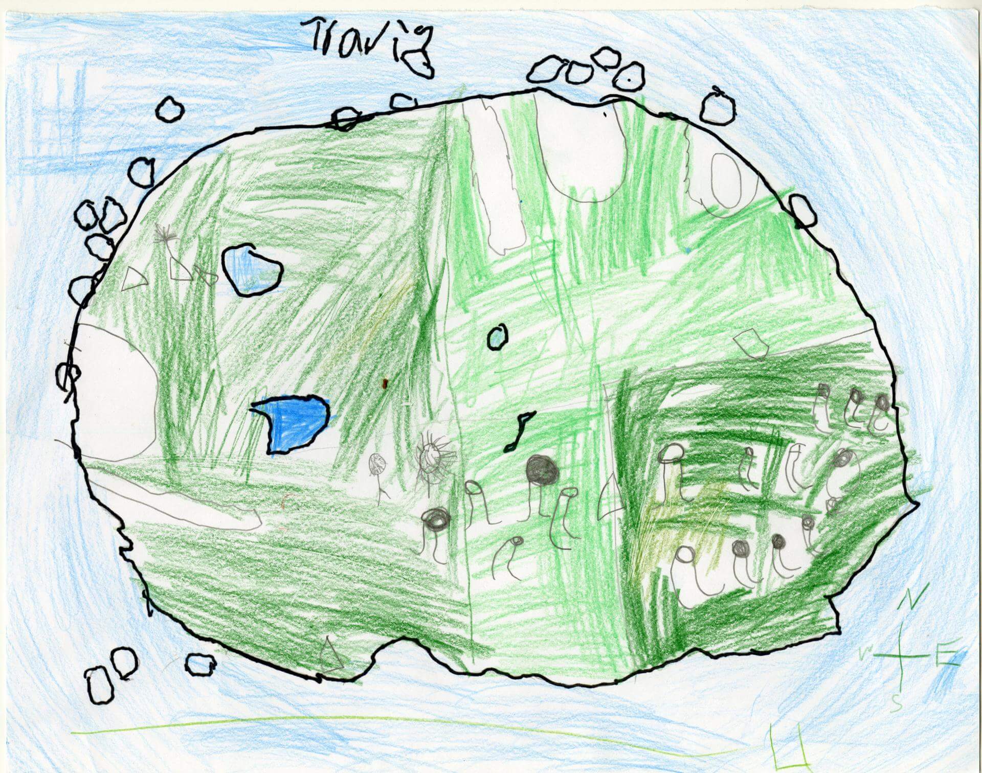
Travis G. of Oxford
Oxford Elementary – 5th Grade.
See larger at https://oshermaps.org/wp-content/uploads/2025/05/25.232.jpg
Ragnarok’s Ruin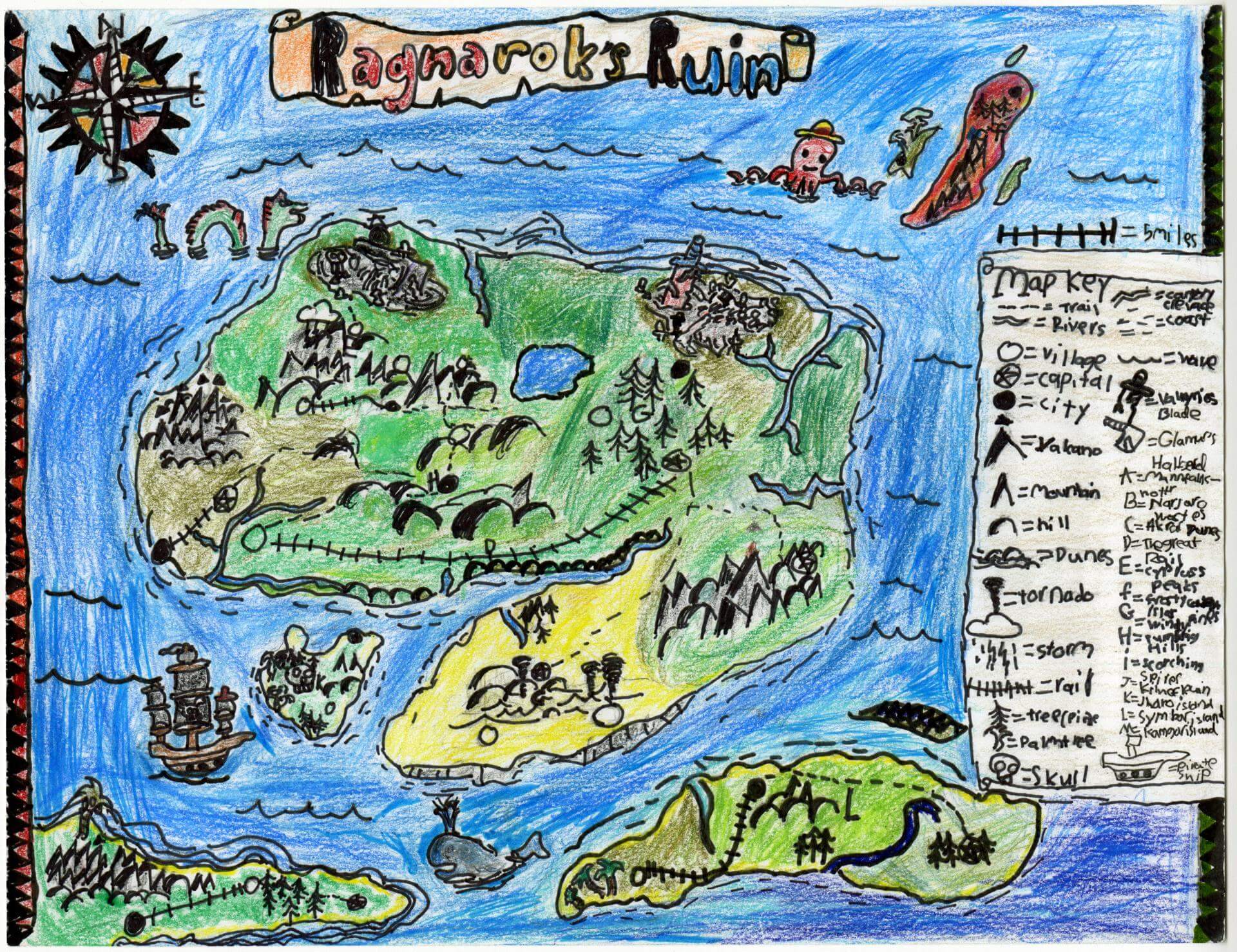
Trevor M. of Brunswick
Brunswick Jr. High – 6th Grade.
See larger at https://oshermaps.org/wp-content/uploads/2025/05/25.087.jpg
The Wonderful Land of Oz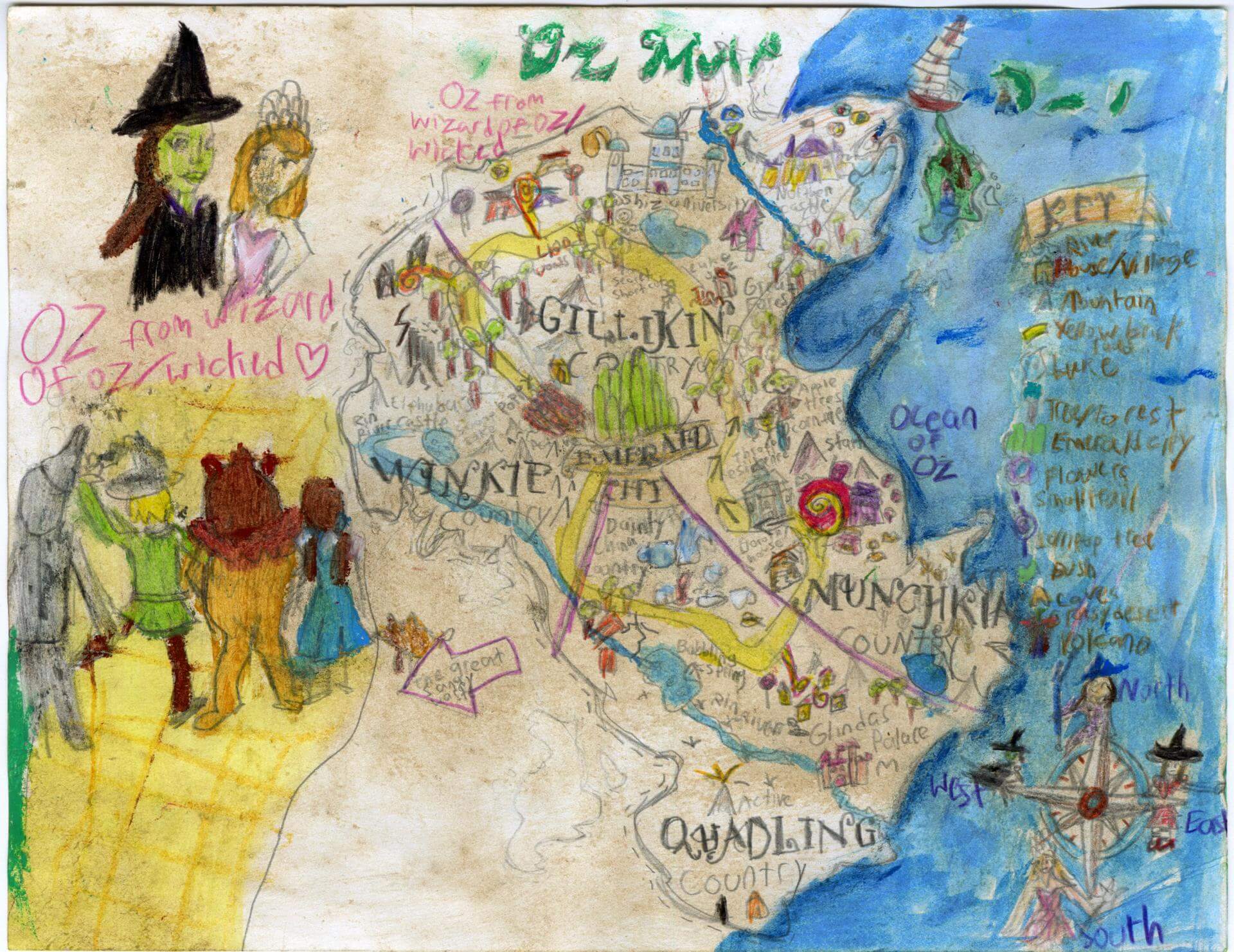
Truly G. of Windham
Fiddlehead School of Arts and Sciences – 5th Grade.
See larger at https://oshermaps.org/wp-content/uploads/2025/05/25.198.jpg
The Isle of Slaohs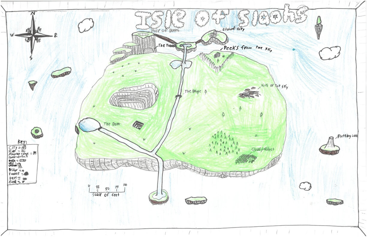
Tucker T. of York
York Middle School – 6th Grade.
See larger at https://oshermaps.org/wp-content/uploads/2025/05/25.278.jpg
The Brothers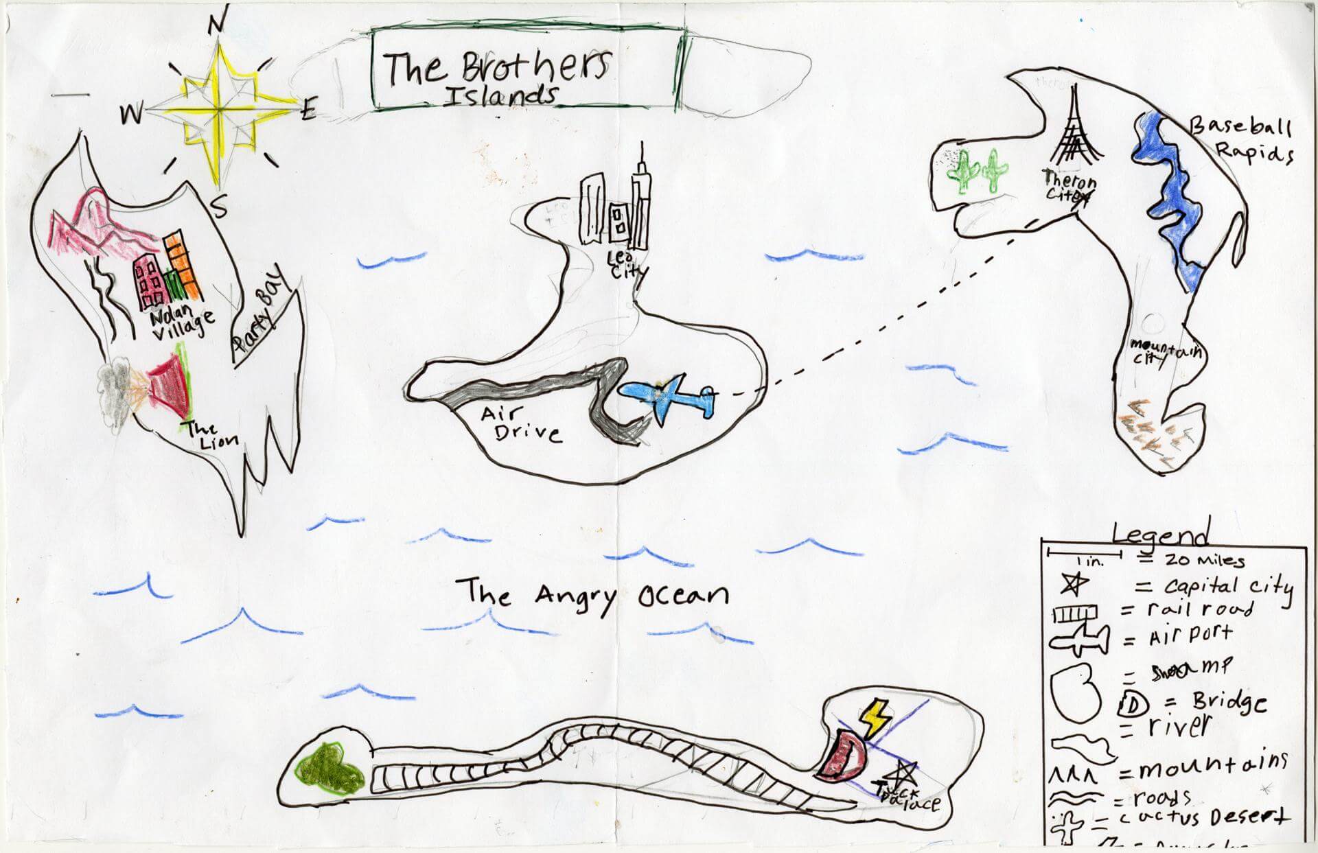
Tuckerman P. of Yarmouth
Yarmouth Elementary – 5th Grade.
See larger at https://oshermaps.org/wp-content/uploads/2025/05/25.062.jpg
The States of Thought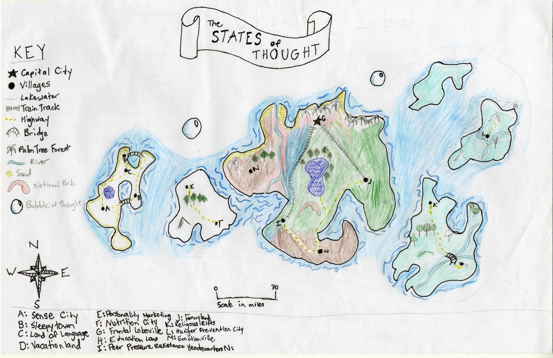
Valerie C. of Brunswick
Brunswick Jr. High – 6th Grade.
See larger at https://oshermaps.org/wp-content/uploads/2025/05/25.099.jpg
Endless Isle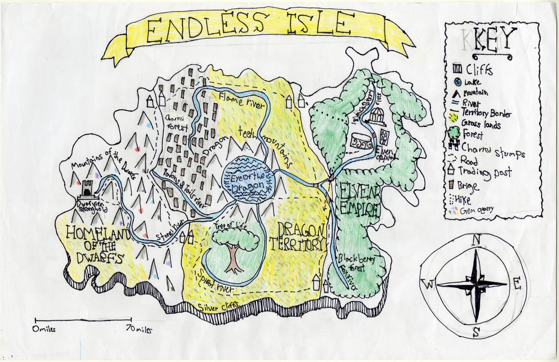
Verona G. of Brunswick
Brunswick Junior High – 6th Grade.
See larger at https://oshermaps.org/wp-content/uploads/2025/05/25.165.jpg
Moonlit Meadow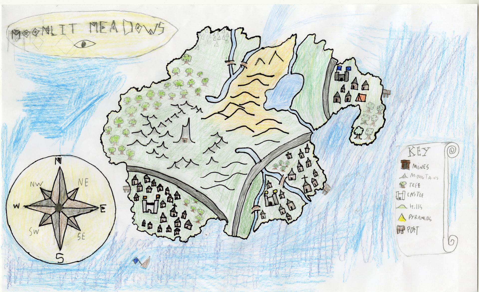
Victor D. of Brunswick
Brunswick Jr. High – 6th Grade.
See larger at https://oshermaps.org/wp-content/uploads/2025/05/25.153.jpg
Soccer Island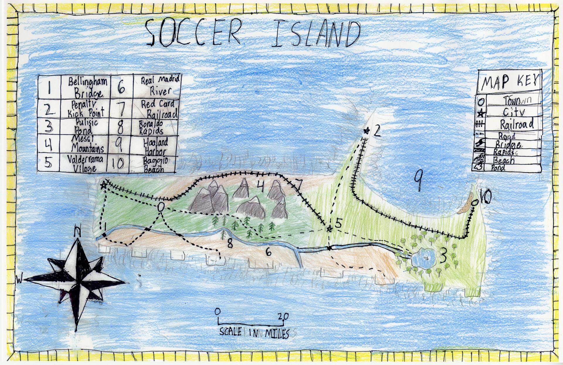
Vincent S. of South Berwick
Marshwood Great Works School – 4th Grade.
See larger at https://oshermaps.org/wp-content/uploads/2025/05/25.335.jpg
Tranquility Islands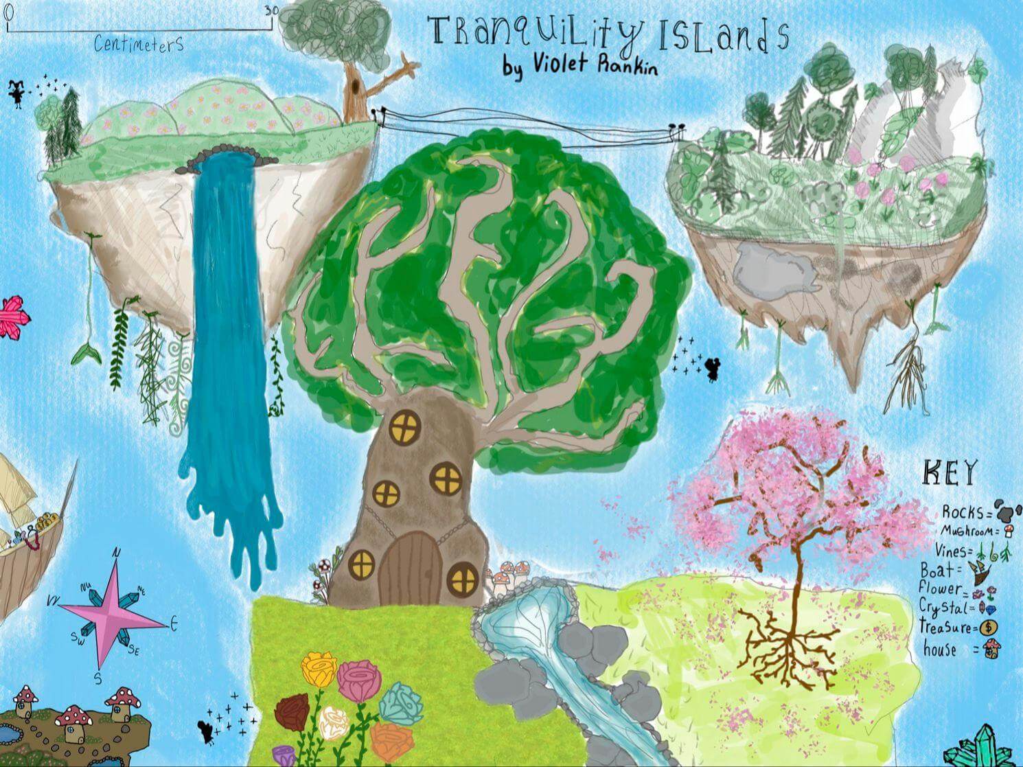
Violet R. of Brunswick
Brunswick Junior High School – 6th Grade.
See larger at https://oshermaps.org/wp-content/uploads/2025/05/25.259.jpg
Stranger Things Island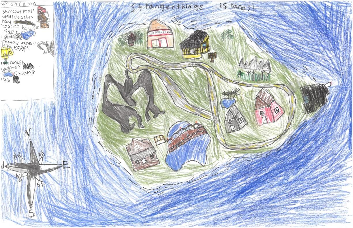
Vivian C. of York
York Middle School – 6th Grade.
See larger at https://oshermaps.org/wp-content/uploads/2025/05/25.267.jpg
Isle of Beasts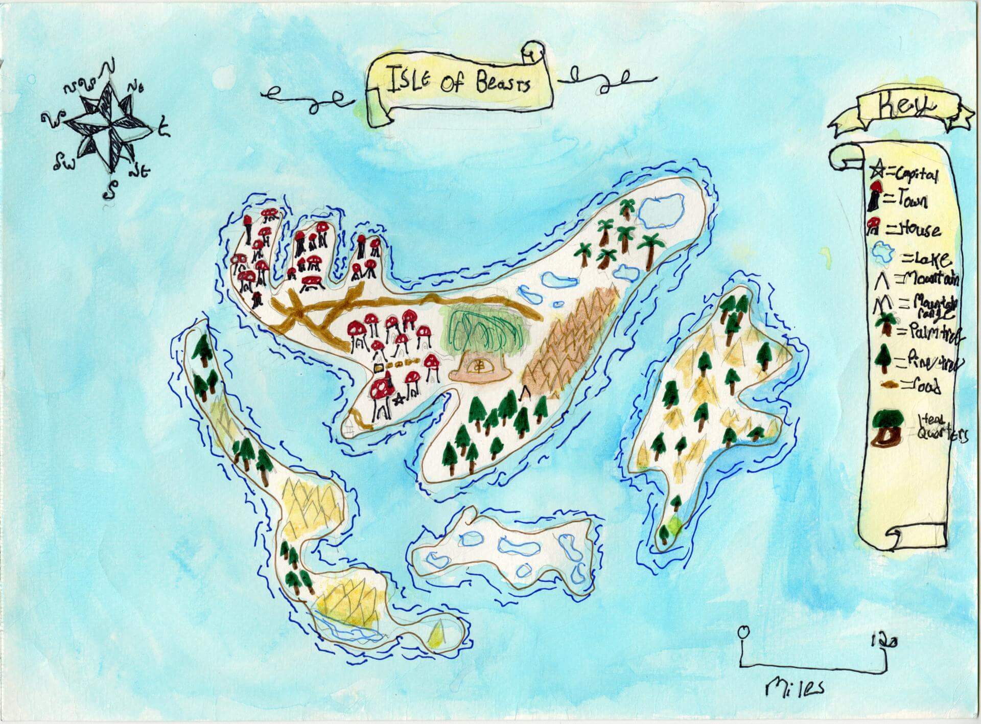
Vivian D. of Brunswick
Brunswick Jr. High – 6th Grade.
See larger at https://oshermaps.org/wp-content/uploads/2025/05/25.095.jpg
Star Light Harbor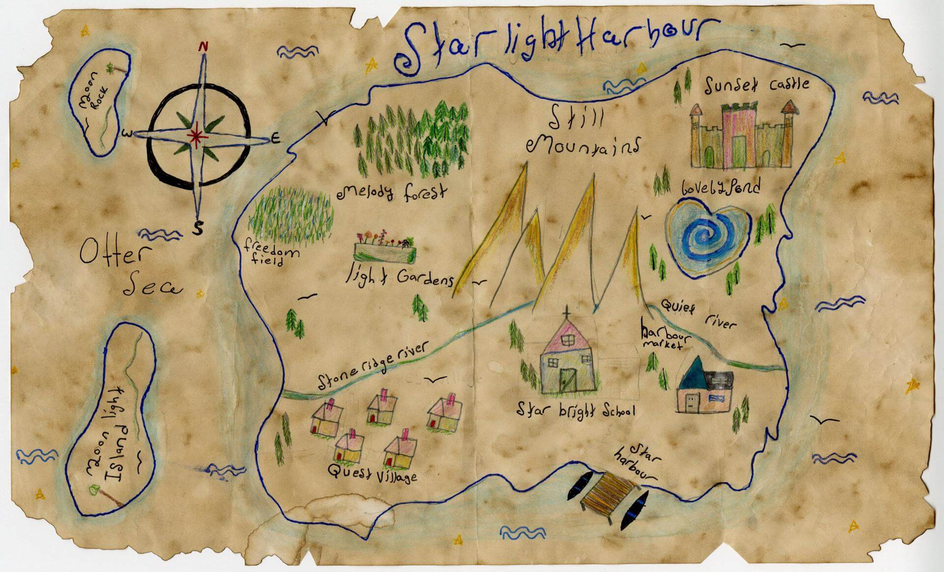
Vivian D. of Yarmouth
Yarmouth Elementary – 5th Grade.
See larger at https://oshermaps.org/wp-content/uploads/2025/05/25.065.jpg
1693 Salem Witches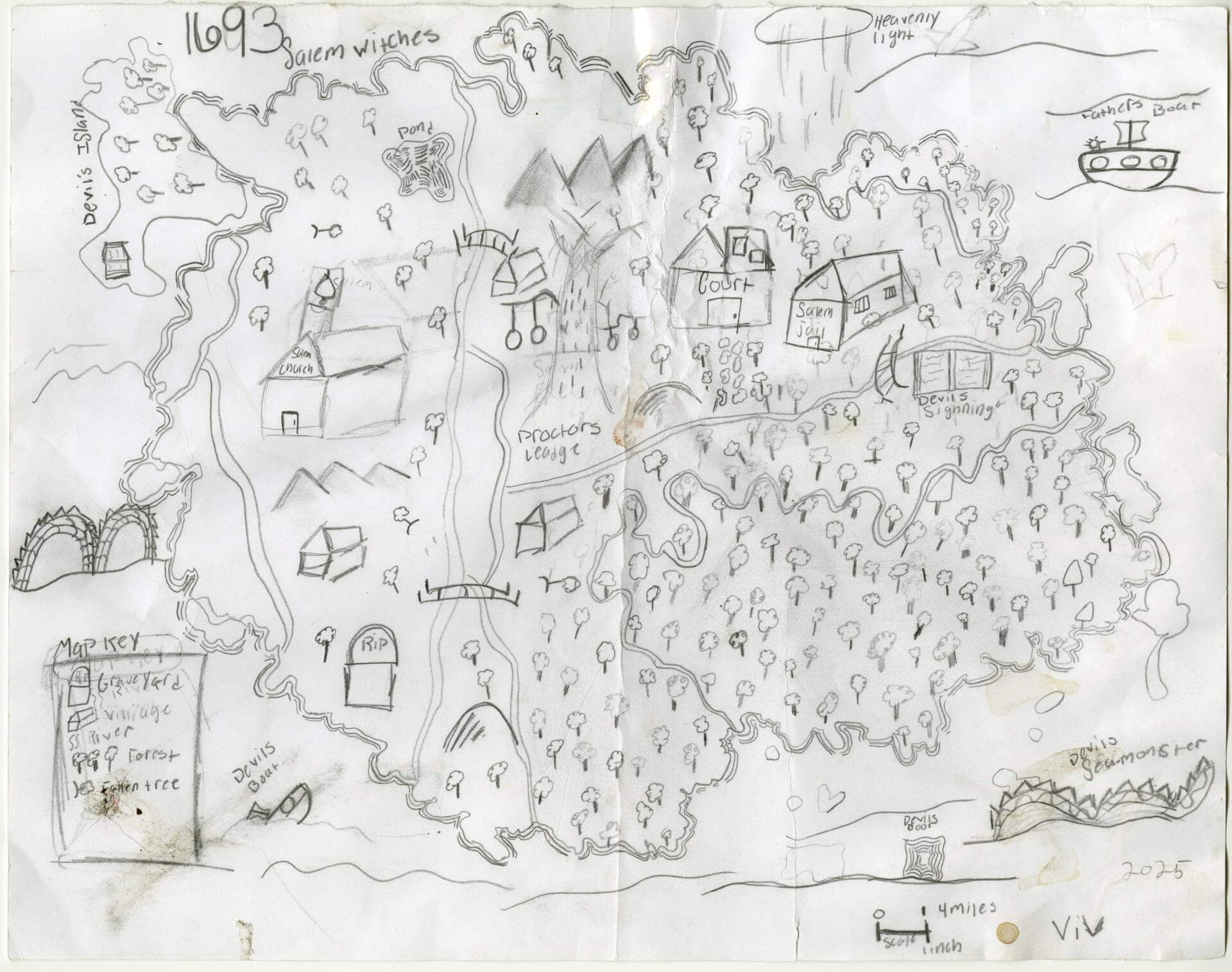
Vivianna T. of West Paris
Oxford Elementary – 4th Grade.
See larger at https://oshermaps.org/wp-content/uploads/2025/05/25.192.jpg
Isle of Friendship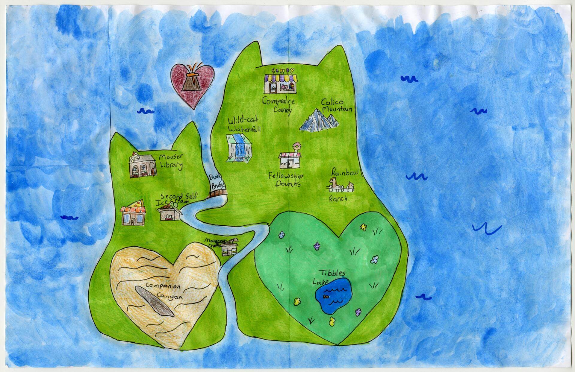
Vivien Q. of Yarmouth
Yarmouth Elementary – 5th Grade.
See larger at https://oshermaps.org/wp-content/uploads/2025/05/25.054.jpg
Island of Secrets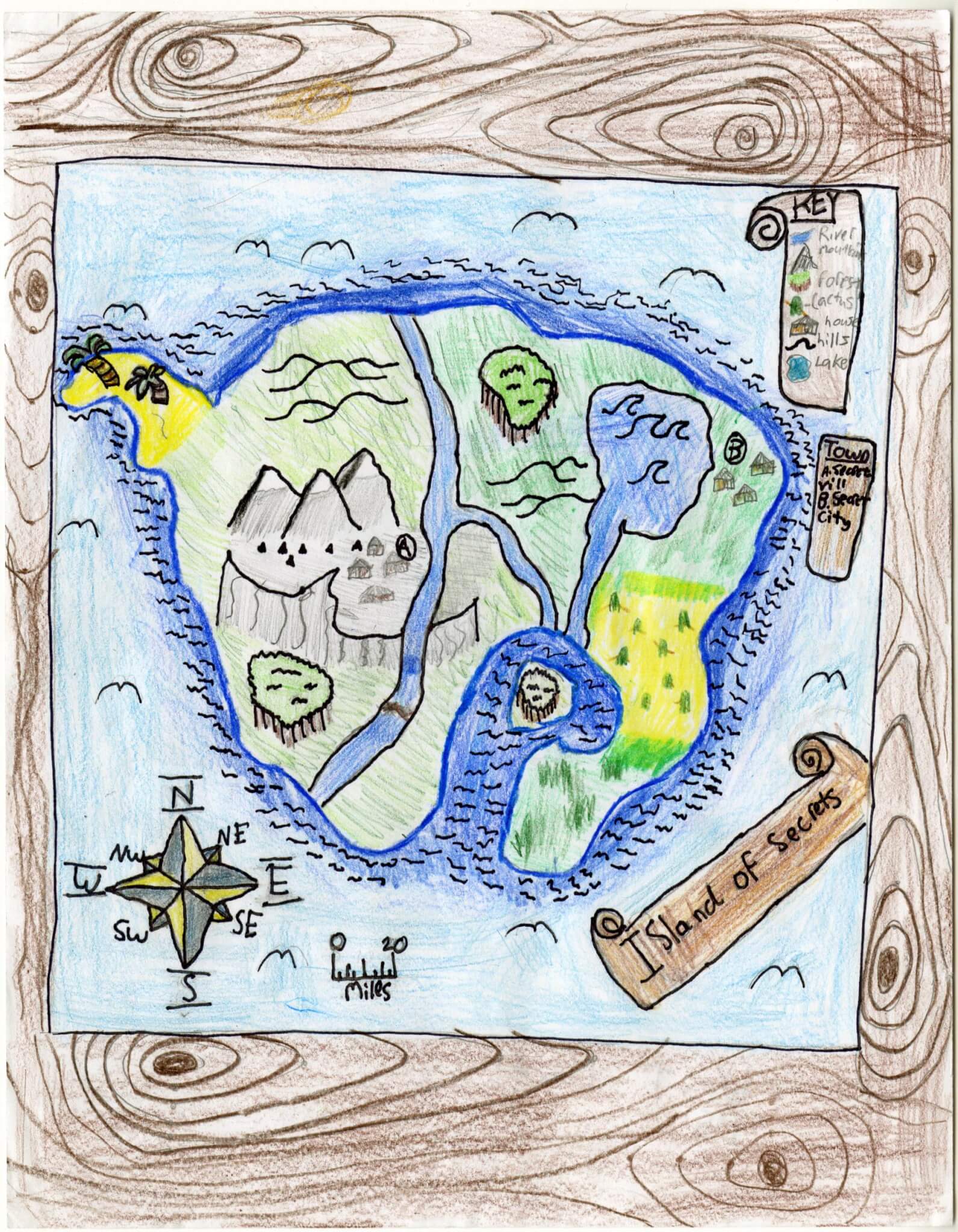
West L. of Brunswick
Brunswick Jr. High – 6th Grade.
See larger at https://oshermaps.org/wp-content/uploads/2025/05/25.144.jpg
Coconut Island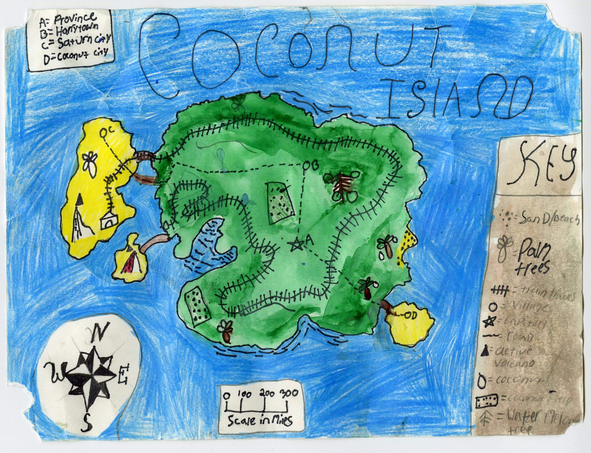
Weston C. of Brunswick
Brunswick Jr. High – 6th Grade.
See larger at https://oshermaps.org/wp-content/uploads/2025/05/25.080.jpg
Attack of the Kraken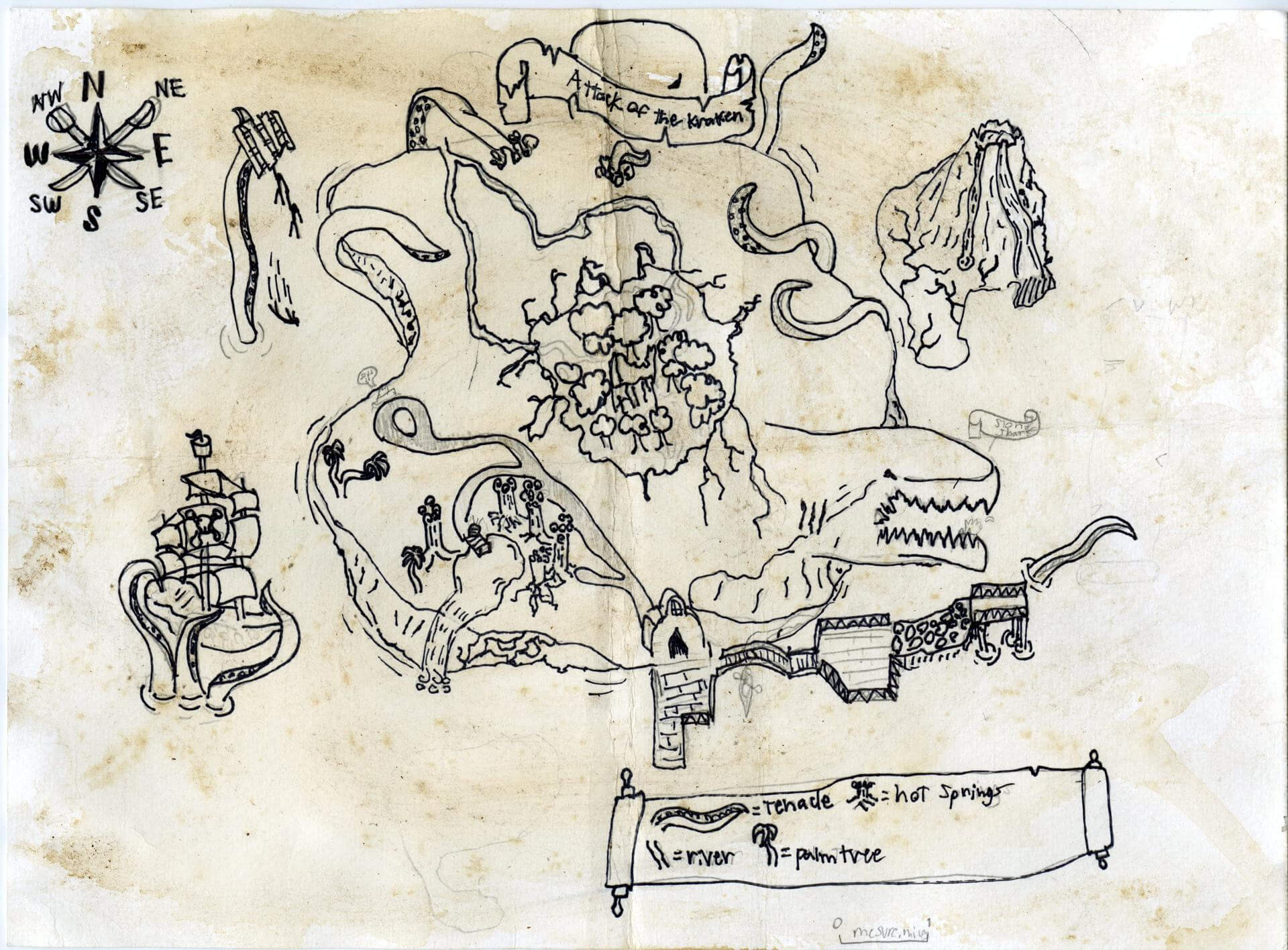
Weston C. of Brunswick
Brunswick Jr. High – 6th Grade.
See larger at https://oshermaps.org/wp-content/uploads/2025/05/25.090.jpg
Soccer Islands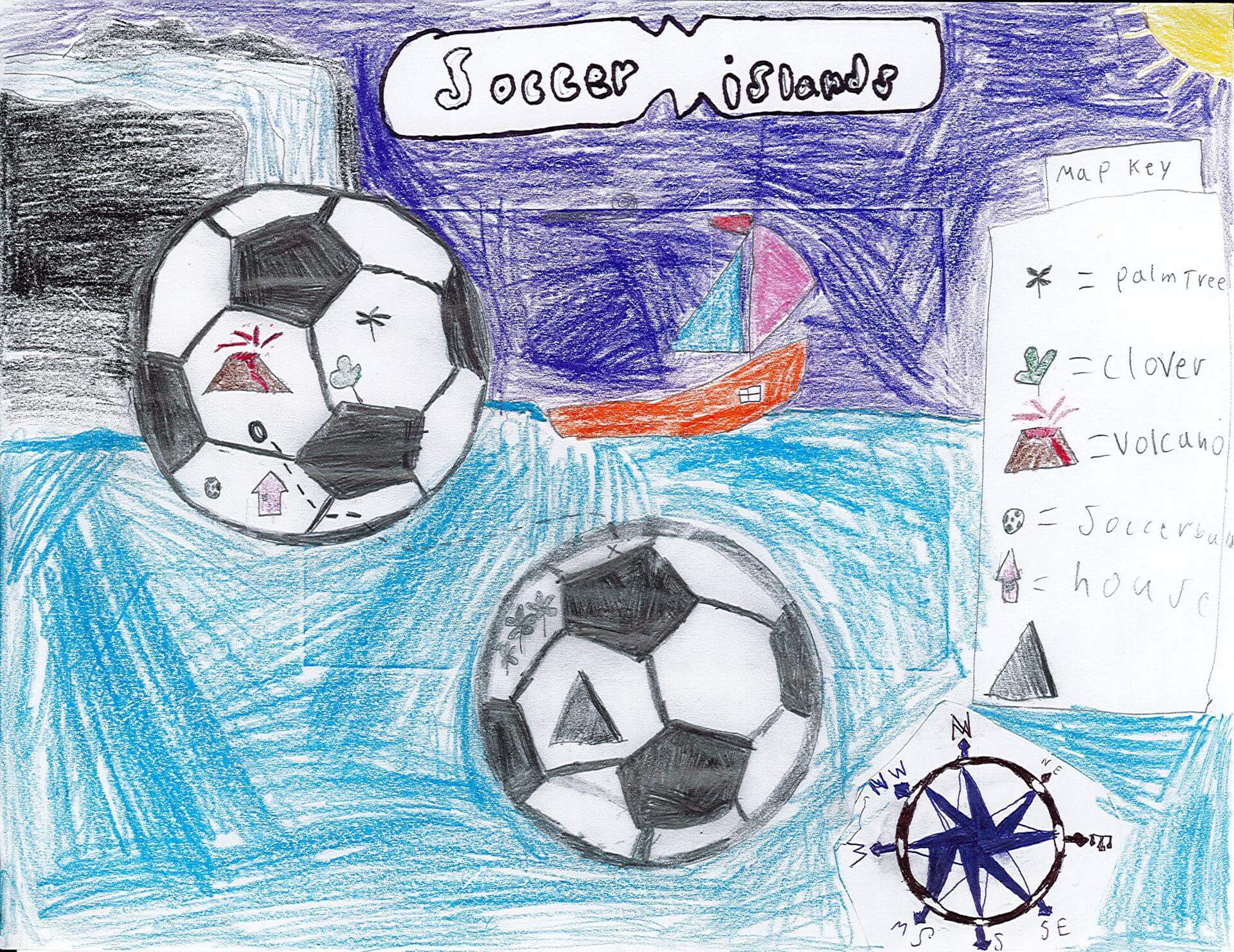
Weston H. of Eliot
Marshwood Great Works School – 4th Grade.
See larger at https://oshermaps.org/wp-content/uploads/2025/05/25.345.jpg
Idea Island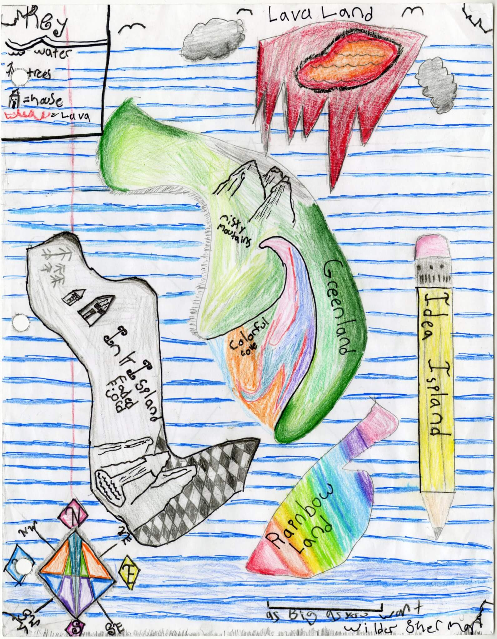
Wilder S. of Brunswick
Brunswick Jr. High – 6th Grade.
See larger at https://oshermaps.org/wp-content/uploads/2025/05/25.148.jpg
Star Dew Island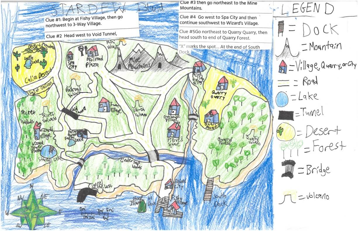
William L. of York
York Middle School – 6th Grade.
See larger at https://oshermaps.org/wp-content/uploads/2025/05/25.292.jpg
Sandwich Island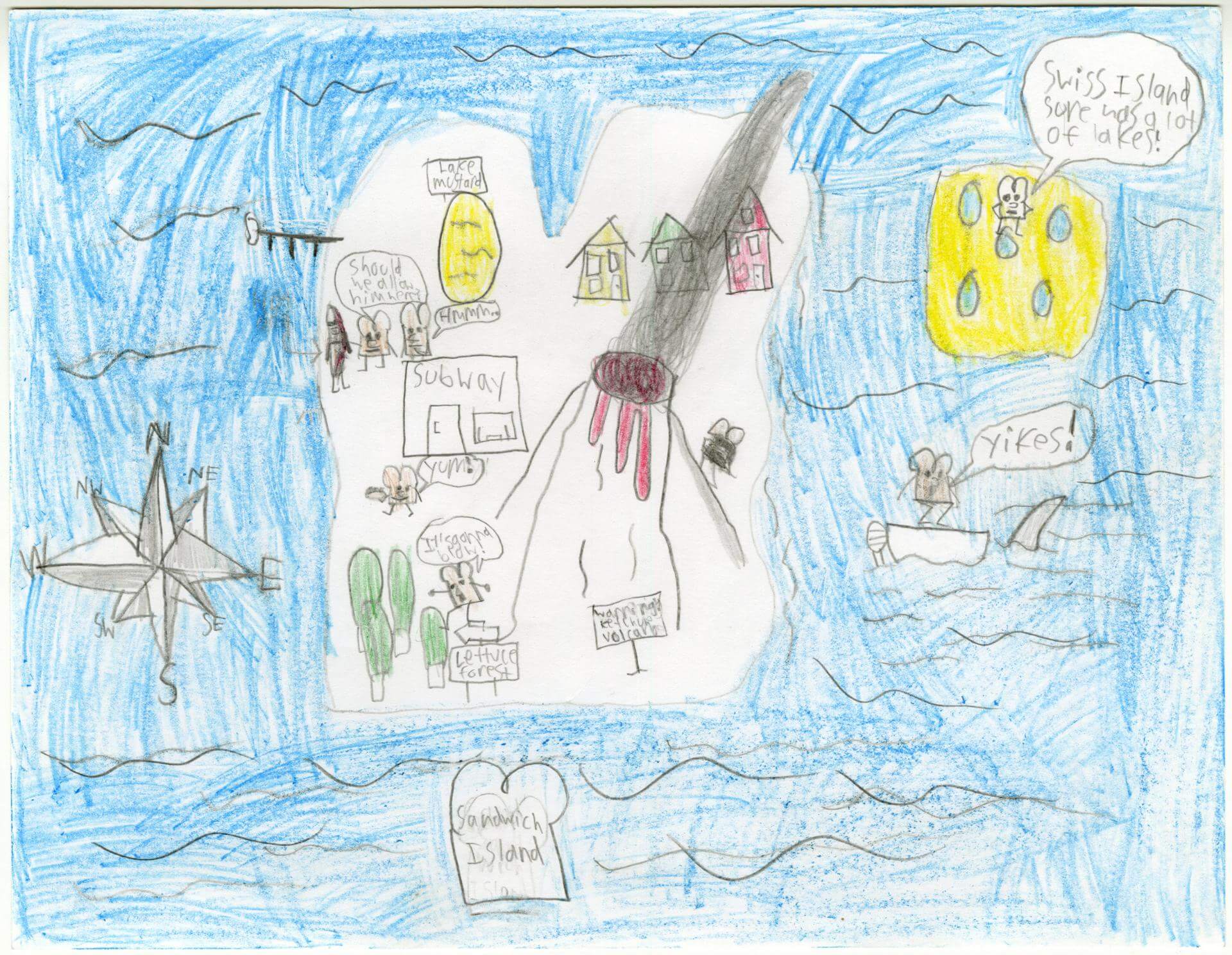
William S. of Gorham
Narragansett Elementary – 4th Grade.
See larger at https://oshermaps.org/wp-content/uploads/2025/05/25.116.jpg
Underwear Island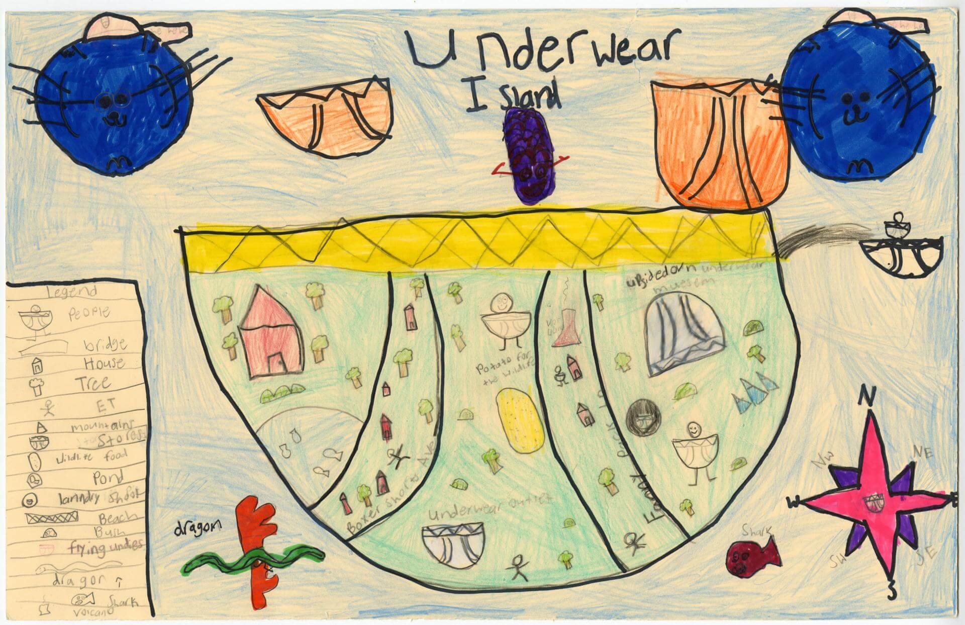
Willis C. of Brunswick
Harriet Beecher Stowe Elem – 4th Grade.
See larger at https://oshermaps.org/wp-content/uploads/2025/05/25.028.jpg
Husky Snow Island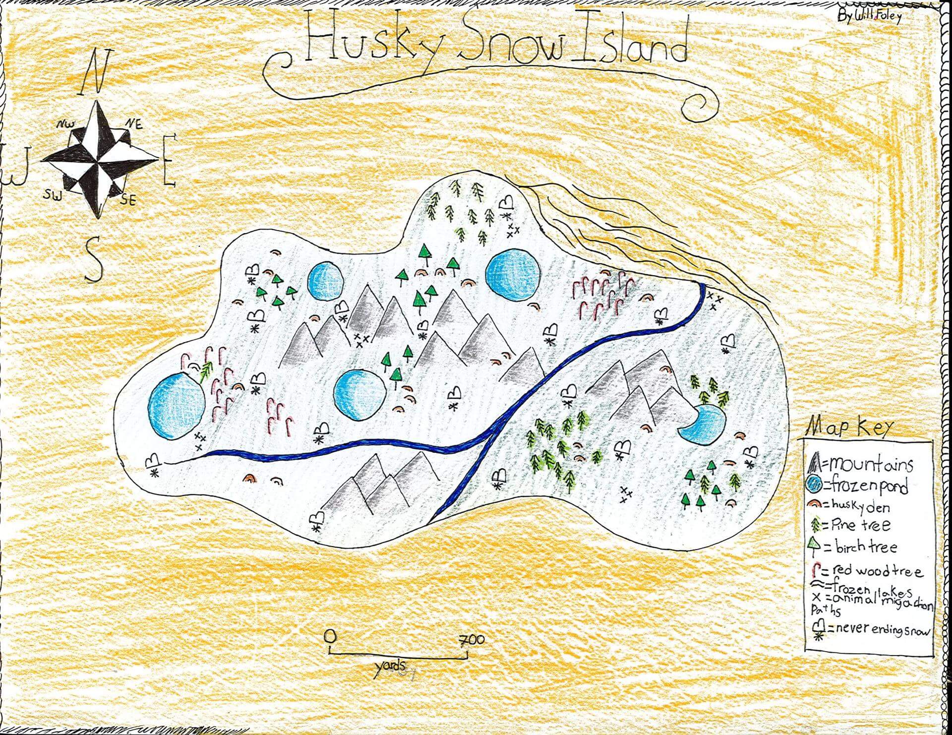
Willow F. of Eliot
Marshwood Great Works School – 4th Grade.
See larger at https://oshermaps.org/wp-content/uploads/2025/05/25.343.jpg
Bikini Bottom Map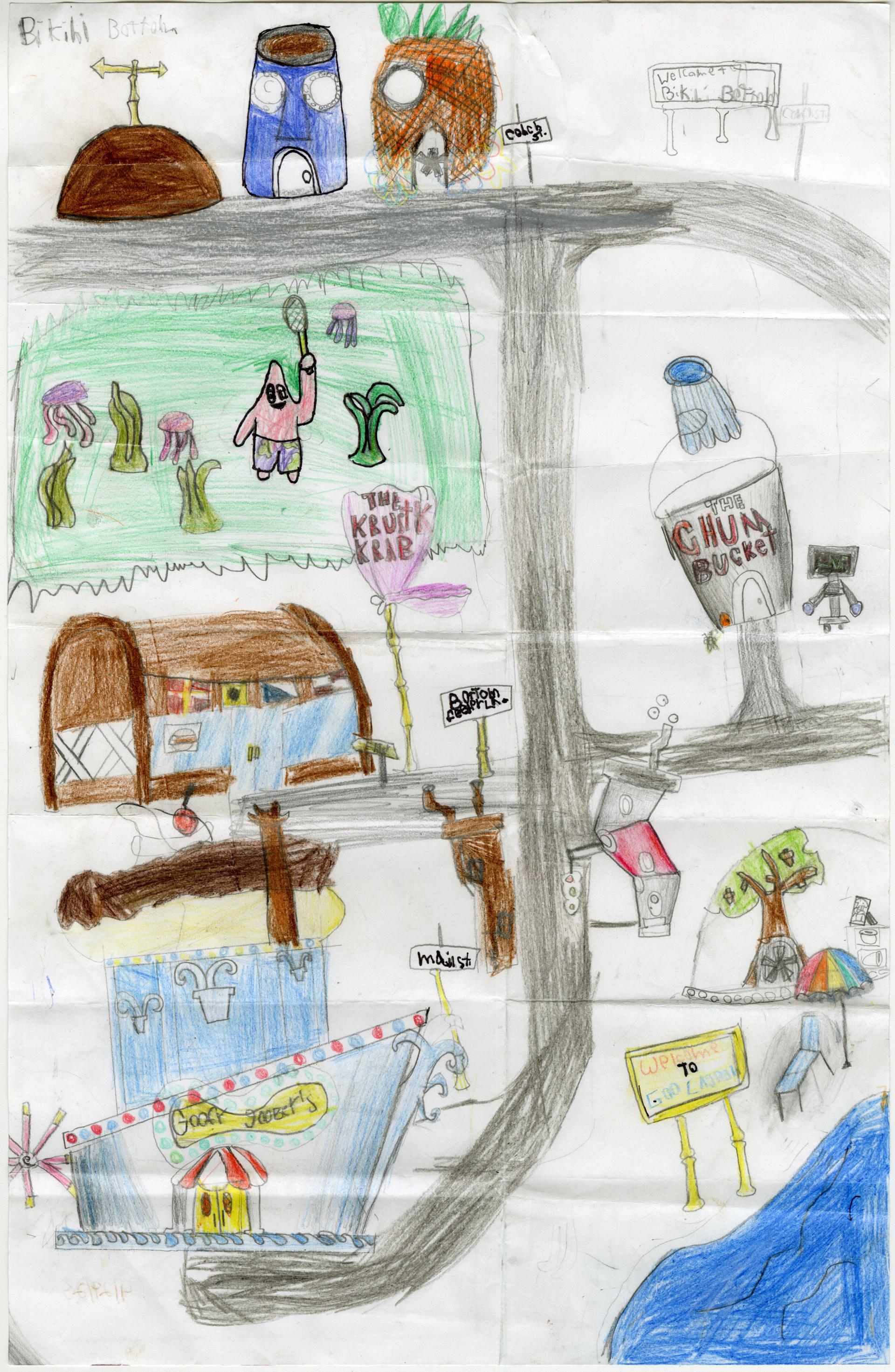
Willow K. of Gorham
Great Falls Elementary – 4th Grade.
See larger at https://oshermaps.org/wp-content/uploads/2025/05/25.218.jpg
Abandoned Island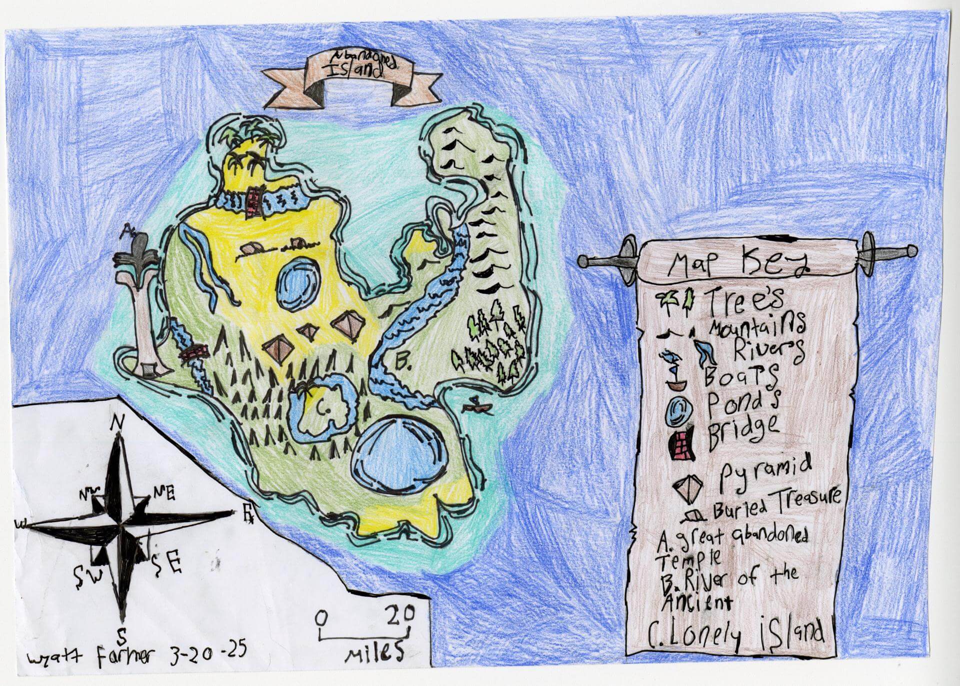
Wyatt F. of Brunswick
Brunswick Jr. High – 6th Grade.
See larger at https://oshermaps.org/wp-content/uploads/2025/05/25.129.jpg
Demon Land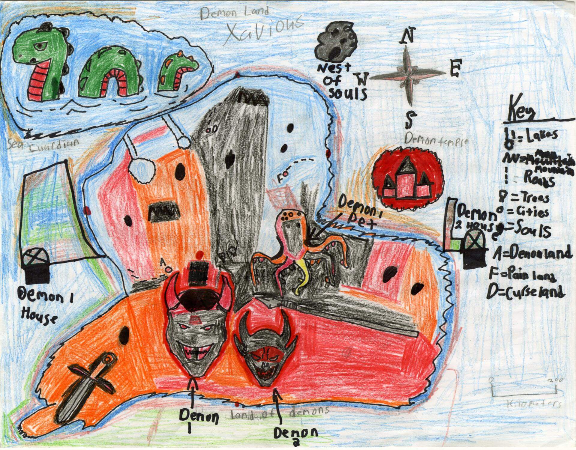
Xavious F. of Brunswick
Brunswick Jr. High – 6th Grade.
See larger at https://oshermaps.org/wp-content/uploads/2025/05/25.106.jpg
Loyalton Islands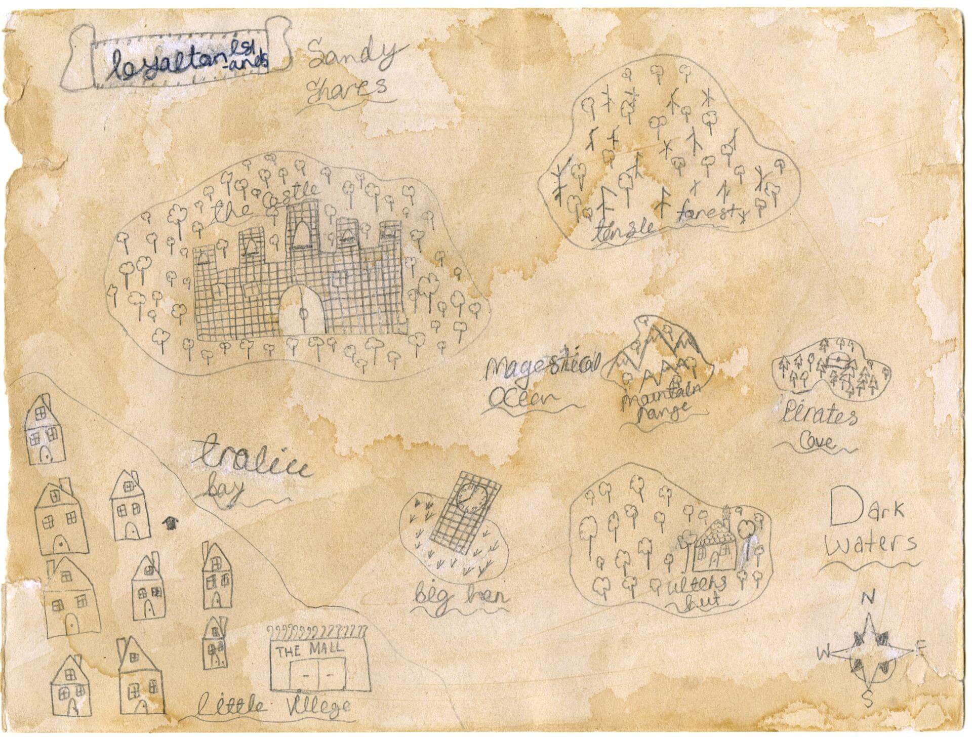
Zabelle C. of Falmouth
Famouth Elementary – 5th Grade.
See larger at https://oshermaps.org/wp-content/uploads/2025/05/25.181.jpg
Doane Island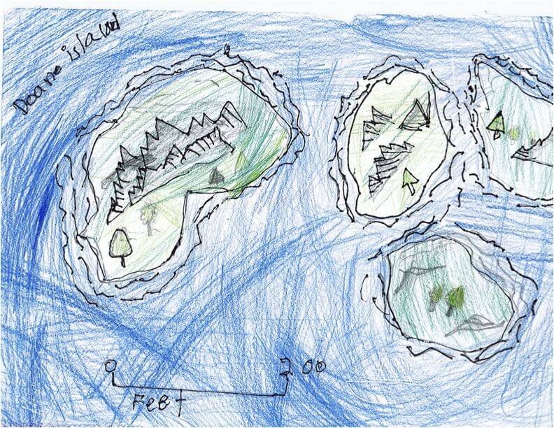
Zach L. of South Berwick
Marshwood Great Works School – 4th Grade.
See larger at https://oshermaps.org/wp-content/uploads/2025/05/25.248.jpg
Heart Map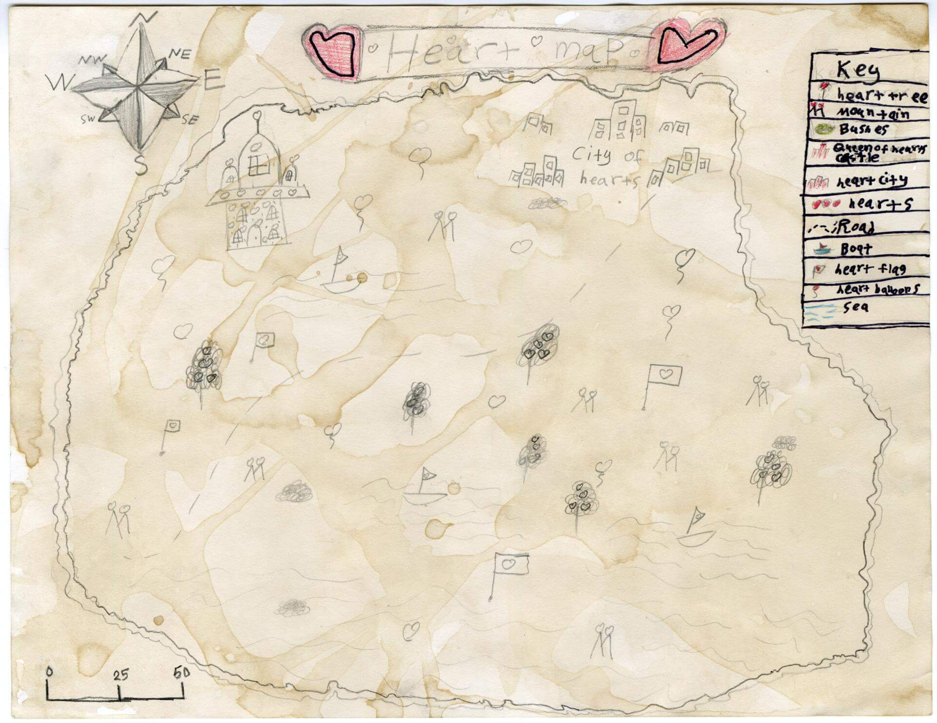
Zainab A. of Old Town
Old Town Elementary School – 4th Grade.
See larger at https://oshermaps.org/wp-content/uploads/2025/05/25.201.jpg
Motunui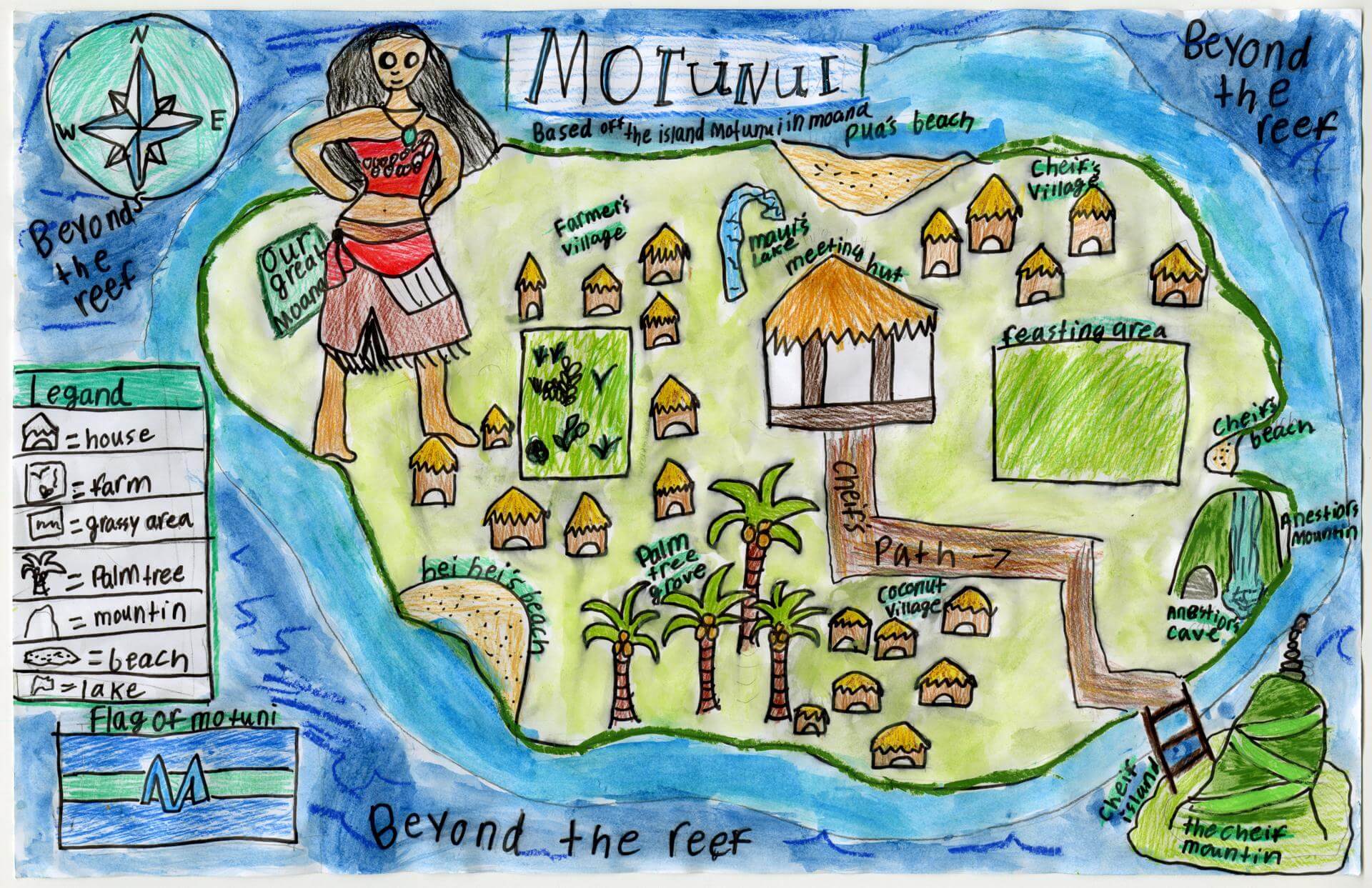
Zoe D. of Yarmouth
Yarmouth Elementary – 5th Grade.
See larger at https://oshermaps.org/wp-content/uploads/2025/05/25.057.jpg
Dennison/Hammond Superior Map of the United States, 1989